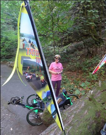
Starvation Creek Segments
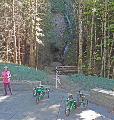
From the Starvation Creek trailhead, you can head east or west on two short sections. The newly opened west segment heads to several waterfalls, including Hole-in-the-Wall Falls.
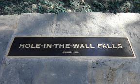
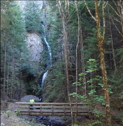
As the cryptic sign says, Hole-in-the-Wall Falls was created in 1938. How (and why) would you create a waterfall? Before 1938, Warren Creek was prone to washing out the highway during heavy floods, so the highway department rerouted it to a wider canyon. To get it there, they blasted a hole through the rock and created the new falls.
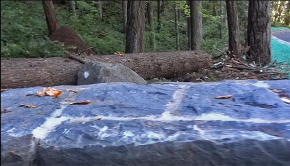
Paved picnic areas with extensive stonework are not only located by waterfalls. This one looks out at one of the several massive anthills by the trail.
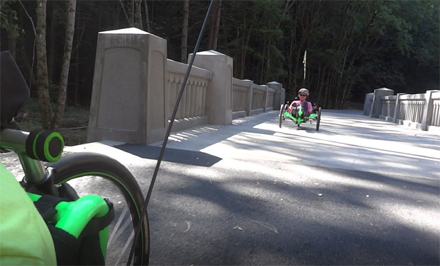
The Transportation Department has gone to great lengths to restore the feel and look of the old highway. They replicated the designs of old bridges without trying to make exact copies, so you would not confuse the new ones from originals that are still there.
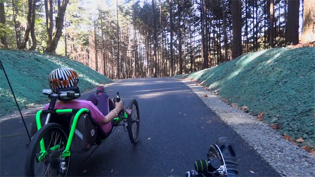
This new trail is immaculately groomed, with silky-smooth pavement, carefully sculpted grading, and a fresh coat of hydroseeding, just like a new freeway.
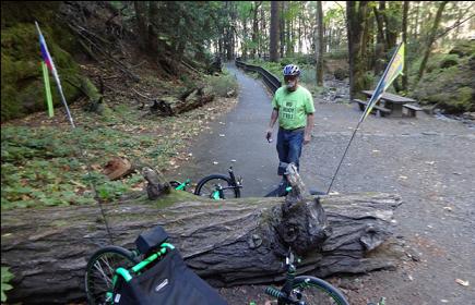
The older trail heading east from Starvation Creek is a steady climb for the first mile. It was moved out from the old highway to shield cyclists from rocks falling off the cliffs..
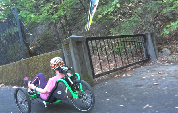
Other barriers keep people from going off the cliffs themselves.
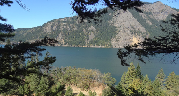
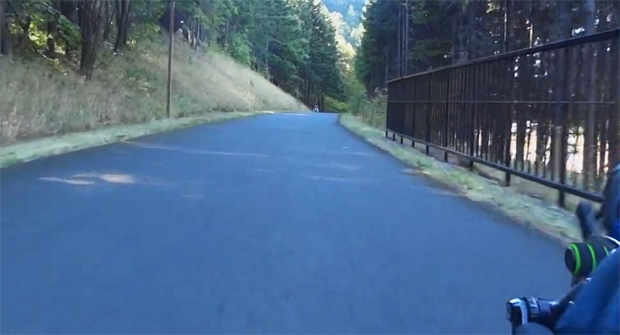
The climb does have its rewards, with views of the river and gorge.
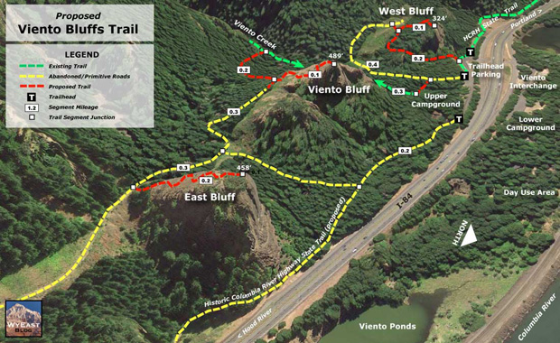
Continuing east on the Starvation Creek Trail you descend into Viento State Park, where you will find water, restrooms, 15 tent sites, 55 RV hookups, and easy access to the Columbia River. The map also shows where the Historic Columbia Gorge Highway State Trail will extend to Hood River.
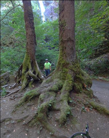
Just east of the trailhead is a side path to Starvation Creek Falls.