About
Crossing the White River 2--The Highway
The highway (now 244th St E in Enumclaw and River Avenue in Buckley) ends its S-curve before crossing the river.
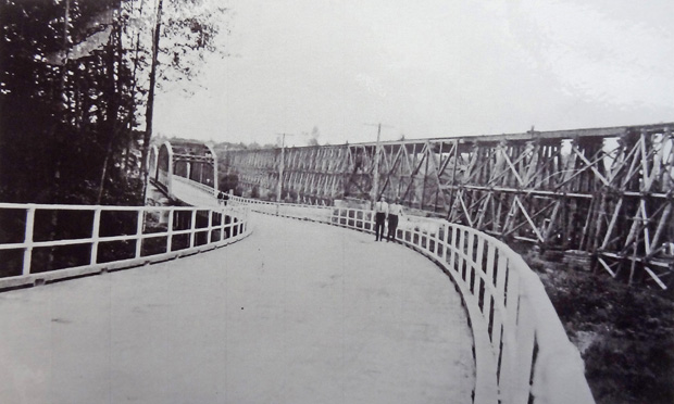
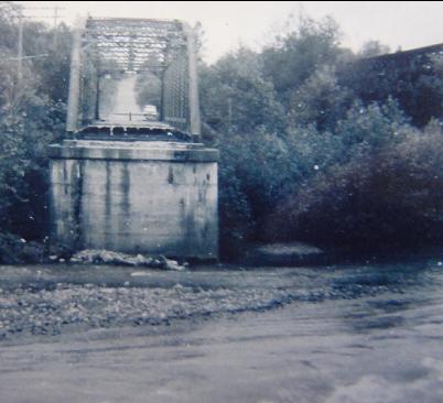
The highway bridge was about to be removed, following the completion of the new 410 bridge in 1949. The segment going up the hill became the base for the current trail.
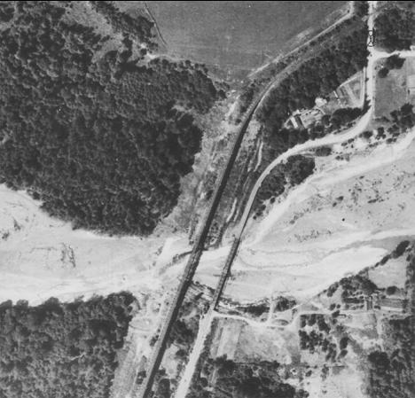
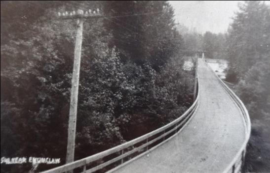
This aerial photograph from 1937 shows the curve of the railroad and the S of the highway across the White River. The highway pases under the tracks near the top of the picture.
The old highway also crossed Boise Creek shortly before it flowed into the White River. The railbed is the background. The gap for the highway was filled in and a small train bridge was removed after the road was abandoned. The highway also passed under the large pipe in the background, which serves as part of Tacoma's water supply.
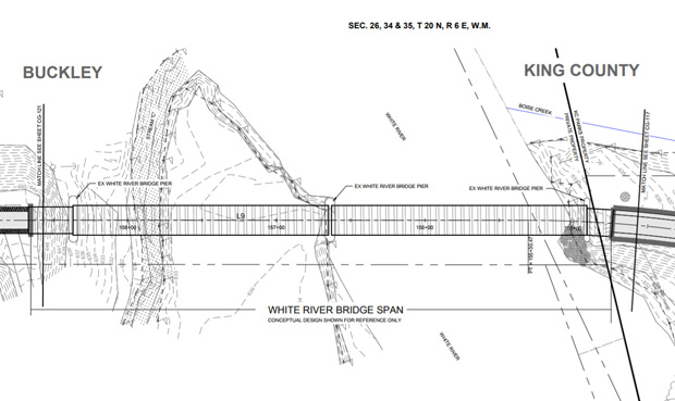
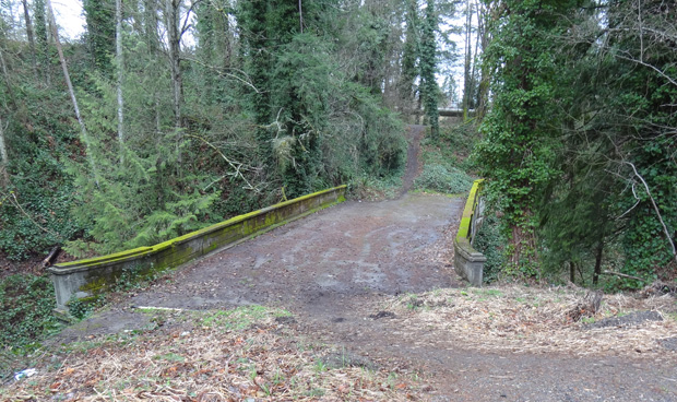
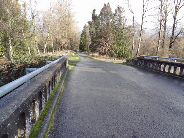
The old bridge will be repurposed as part of the Foothills Trail. Epoxy will be injected into the cracks to stabilize it. The trail originates in Puyallup and ends in Enumclaw. It takes the old Northern Pacific route except for the White River crossing, which will follow the old highway route, uses this bridge and one in Buckley, and will have a new bridge across the river.
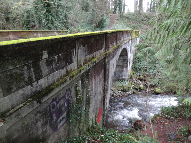
On the Buckley side, a flume has carried water from the White River to Lake Tapps for more than a hundred years, to generate electricity for most of that time. It and the lake are now owned by a consortium of eastside cities for a future source of water. The original bridge over the flume was part of the old highway, and is now part of the Foothills Trail.
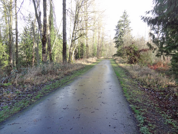
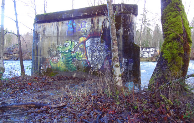
Below the flume bridge, the Foothills Trail leads to the White River and the old bridge abutments.
All three original piers for the highway bridge art still in place and will be used to support the new bike and pedestrian bridge.