Sumner White River Trail

* Introduction * Wheels Outside the Garden * Wheels in the Garden * Garden Trails *

* Puyallup Riverwalk Trail East * Puyallup Riverwalk Trail West * Sumner Rivers Trail * Stuck (White) River Trail *


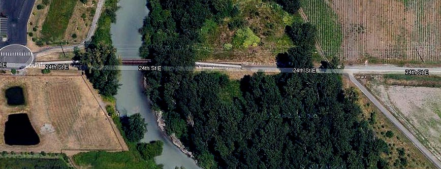
The White River enters the Puyallup River at Sumner. Near the juncture, one trail heads east along the Puyallup and crosses it on the Main Street Bridge sidewalk to the Puyallup Riverwalk trail. The other heads north, following the White River upstream. Several sections are completed, and most of the missing links can be navigated with bike lanes. Eventually it will connect with the Interurban Trail to the north and the Foothills Trail to the south, as well as to the Stuck River Trail in Auburn.

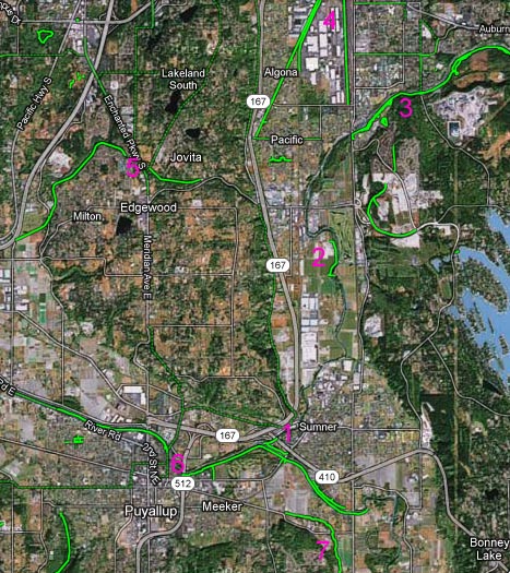
Trails near Sumner


1. Sumner River Trail

2. Sumner White River Trail

3. Stuck River Trail

4. Interurban Trail

5. Edgewood Trail

6. Puyallup Riverwalk

7. Foothills Trail

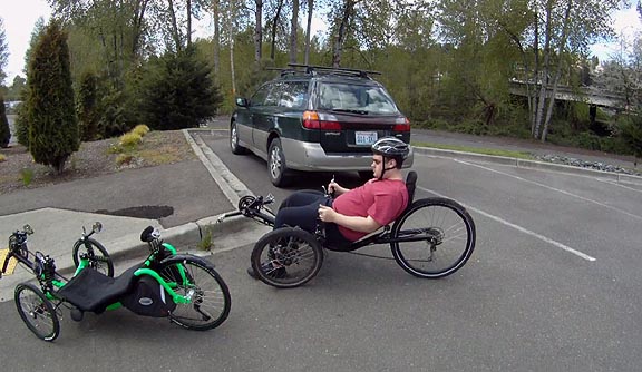
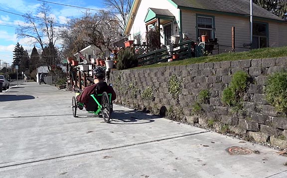
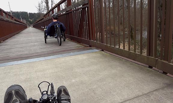
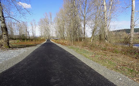
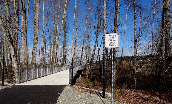
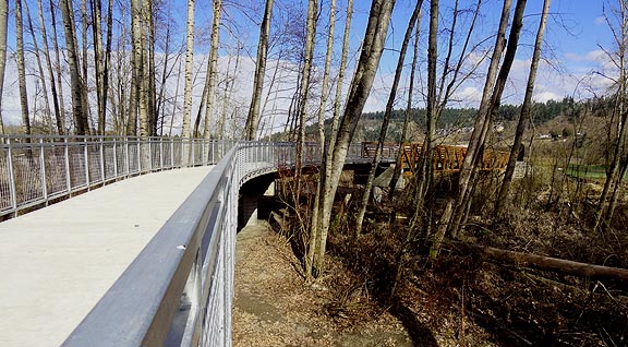
The Sumner White River Trail begins at parking lot adjacent to the recycling center and sewage treatment plant.

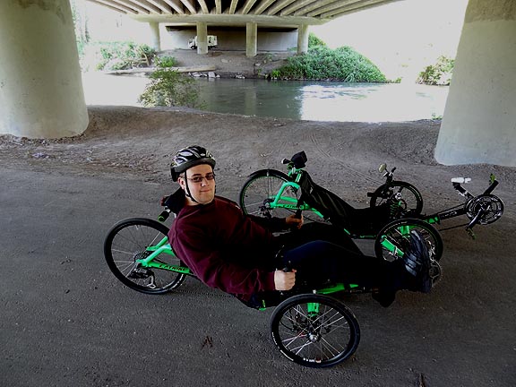
Almost immediately it goes under the 410 highway bridge that crosses the White.

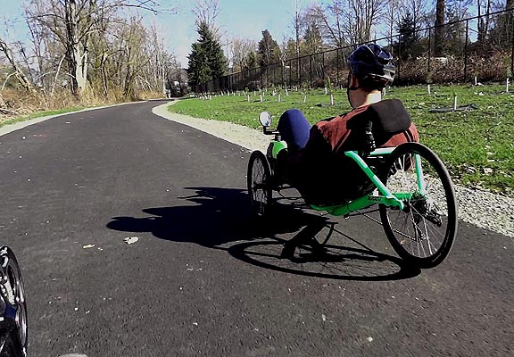
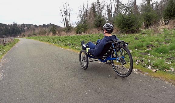
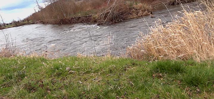
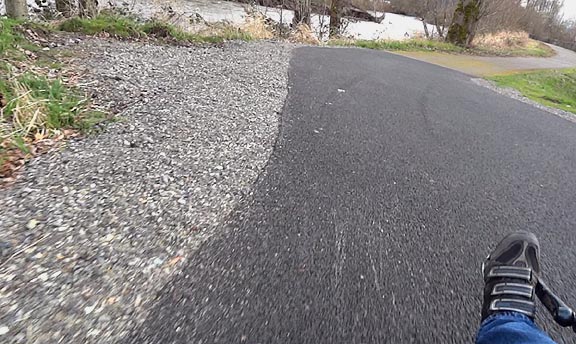
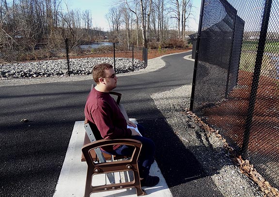
There a new section has opened, with fresh pavement and extensive reintroduction of native plant life.

The wide sidewalks make for unusual signage.
The city of Sumner has solved a problem that plagues many urban areas--how to connect segments of trail where no land is available. They made an extra wide sidewalk by extending it all the way to the curb, making room for both pedestrians and cycles. It is no substitute for a dedicated trail, but works well for a few blocks when there is no other way to make a connection.

Wide bike lanes also serve as connectors of trail segments, and Sumner has created several along the White River route.

The White River Trail picks up again at xxx, and continues north to the bike bridge at 24th Street.

Google Maps shows 24th Street crossing the bridge, but it deadends with a turnaround.

Nothing marked 24th St E here is actually a street. The trail angles southeast on the right and north on the left.

The bridge has a long, uphill approach on each side, and an equally long span connecting them.

After crossing the bridge, the trail continues north, following the White River on the west side.

Looking back south, the new trail joins the old. A parking area is just to the west (right) of here, at the end of 16th Street.

There is ample room for several cars at the turnaround, but no water or restrooms.

Heading north again, the new trail crosses back to the east side of the White River.

More unusual trail signs.

The new bridge also has long approaches, these with a concrete surface. Both curve to the center span. Mesh allows you to see the river and surroundings through the aluminum rails.

The railings are a special steel that forms a colorful protective rust coating when exposed to weather.

The span itself has a grate surface, so you can watch the fast current flowing beneath you as you ride across it.

After crossing the White River again, the trail skirts the edge of Sumner Meadows Golf Links.

The asphalt soon ends, but the surface has been prepared for more paving in the spring of 2013.


More to come as more segments are connected.