|
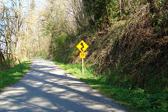
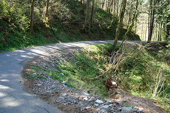
Fettig Road is part of a loop that allows you to ride from the Foothills Trail in South Prairie to the segment in Buckley, primarily on low-traffic back roads. Begin by taking highway 162 from the trailhead a short distance uphill to the Lower Burnett Road. Follow that back down through the valley and under the Cascade Junction triple arch trail bridge. Soon after that, you will come to Fettig Road. Turn left up the hill. At the top, turn left again, but then turn right toward Buckley at the intersection of 162 and 165. (If you want to return to South Prairie, take 162 back down the hill. There are better shoulders on the downhill side and you are travelling closer to traffic speed.) To reach the Buckley Foothills Trail, continue a short distance down 165, and you will see a gravel parking lot on the left. The paved trail starts there. This is also where the undeveloped trail begins back down over the triple arch (and three other) bike bridges. |