| Another section of trail takes you a mile south through the trees. It will connect with the rest of the Foothills Trail at South Prairie in a few years. Pictured is Jim Aliano on his Cattrike Trail. |
 |
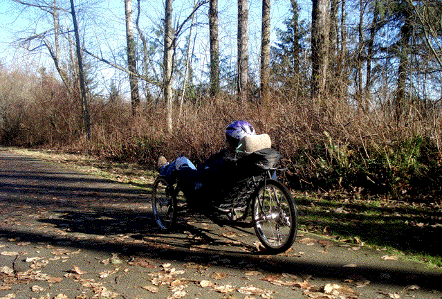 |
My daughter, Kristin, takes her first trike ride on a chilly winter day. Like the Enumclaw section of the Foothills Trail, the south end moves through a brushy woodland. |
|
The pavement ends just before the old railroad grade descends off the plateau into the South Prairie and Orting Valley. This umimproved section is open, but not passable for trikes or other recumbents. We will try it on mountain bikes in a drier season. |
 |
 | This section of the Foothills Trail will tunnel under highway 162 and cross four rail bridges before connecting with the Wilkeson/Carbonado spur at Cascade Junction. This spur will eventually take riders all the way to Mt. Rainier National Park. The last bridge, in place but not yet open, connects to the park at the beginning of the South Prairie section of the Foothills Trail. |