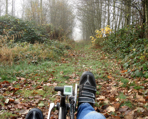
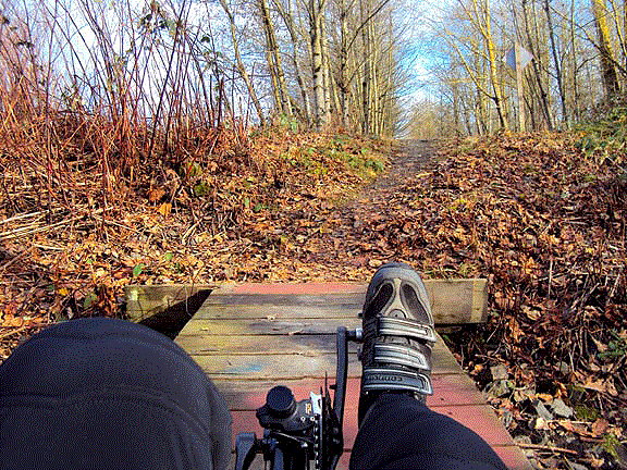
| The south mile or so of the trail is unpaved and a little rough. When it is completed, it will go all the way to the White River. There a bike bridge will connect with the Buckley section on the other side. |
|
| The south mile or so of the trail is unpaved and a little rough. When it is completed, it will go all the way to the White River. There a bike bridge will connect with the Buckley section on the other side. |
|
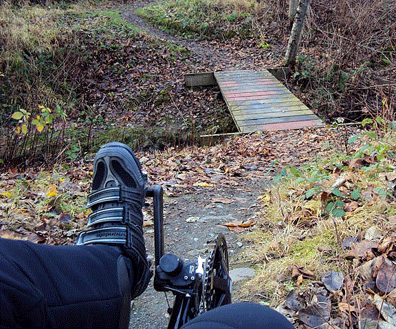 |
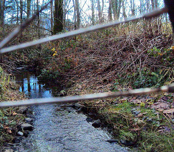
This is not that bridge. It is a slime covered crossing of a small tributary of Boise Creek. The steep banks make traction difficult, and it is impossible to get much of a running start with the angled approaches, |
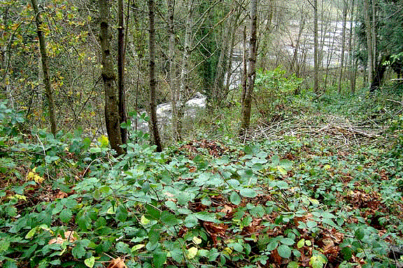
| At the moment, much of the trail is single track between berry vines. In winter, there is water over a foot deep in places. Downed trees also slow your progress. For the time being, this part of the trail is best suited to mountain bikes. |
 |
 |
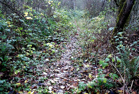
A relatively clear follows the single track until you reach the last few hundred feet, which are impassable. Boise Creek enters the White River here. Across the river is the terminus of the Buckley Foothills Trail. |
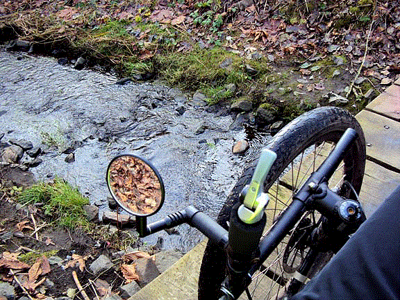
The ride back brings us across the little creek again. The steep exit here is difficult on a trike, with the added risk of rolling backwards if you don't make it. Getting off a trike is not easy on a steep hill.
| Coming back is a little easier. |
|