Foothills Trail: Enumclaw Undeveloped Section North

* Enumclaw North * Enumclaw South * Enumclaw Undeveloped Section South *

* Buckley North * Buckley South * Cascade Junction Trail * C J Trail 2 * Cascade Junction Bridge *

* Carbonado * Wilkeson * South Prairie East * South Prairie West * Orting East * Orting West *

* Other Users * Volunteers * Foothills Trail Coalition * Foothills Trail Map * Flooded Foothills Trail *

* Introduction * Wheels in the Garden * Wheels Outside the Garden * Foothills TOT * 


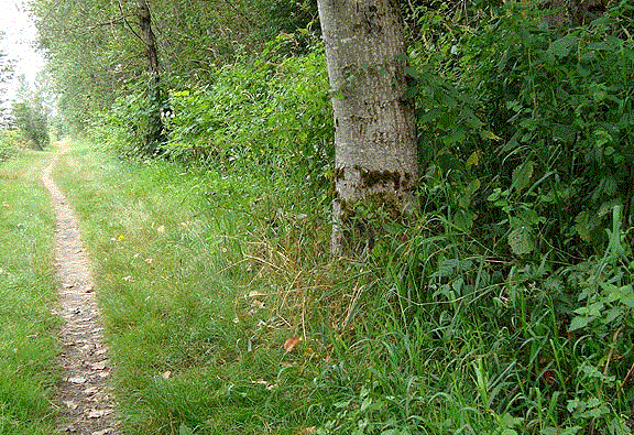
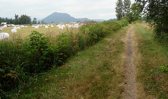
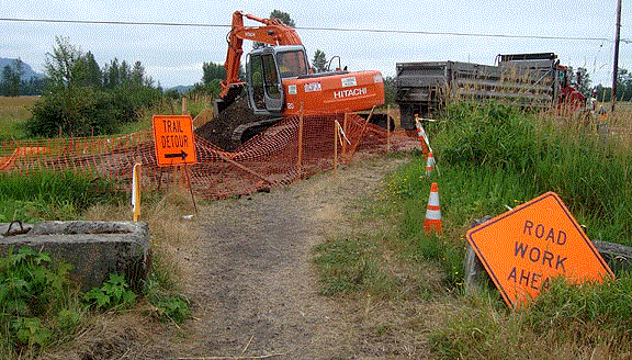
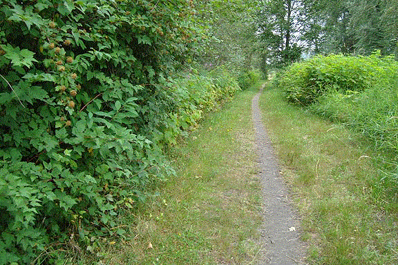
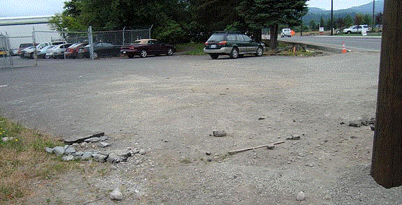
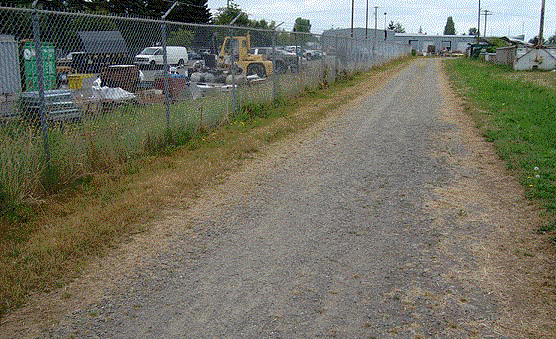
It is very difficult to find the north undeveloped portion of the Enumclaw Foothills trail, or at least where that trail will be in the future. It is a continuation of the old railroad bed.

The trail begins at the end of a short service road for the city shops, between several industrial sites. It has no name, is not on any maps, and has no signage.

Even so, grass on the railroad bed is kept to a reasonable height, and a well-work single track makes it easy to navigate.

The trail crosses a large creek, but the old railroad bridge is gone.

One of the bridge's timbers serves for a temporary crossing.

Heading back, Mt Peak, on the far side of town, is visible from the trail. Giant marshmallows dot the foreground.

The trail crosses two roads. On one of them a bridge over the creek is being replaced, necessitating a trail detour.

Much of the trail is in or beside tree cover.

Parking is available for a few cars in a city-owned wedge in front of a private industrial site. Adjoining is a tiny city park.