What is noteworthy about Cortes Island Canada for a boater, hiker, skier, fisherman or musician? How do you get there from Seattle by automobile and how many ferries are involved? Can you take an excursion boat to Desolation Sound from Cortes Bay? How was the Island and bay named? What is the history of the island and what industries are prominent on the island? What noteworthy bars are on Cortes Island? Where are the public docks on Cortes Island? Can you fly to Cortes Bay?
Cortes Island is a great destination for boaters, hikers, skiers, fishermen, and musicians.
Cortes Island (pronounced Cortez) and nearby Hernando Island were named after the Spanish conqueror of Mexico, Hernando Cortes. This unlikely link was established by the Spanish cartographer, Valdez, who charted these waters in 1793. The Spanish never settled the area, but Cortes and other Spanish names remained.
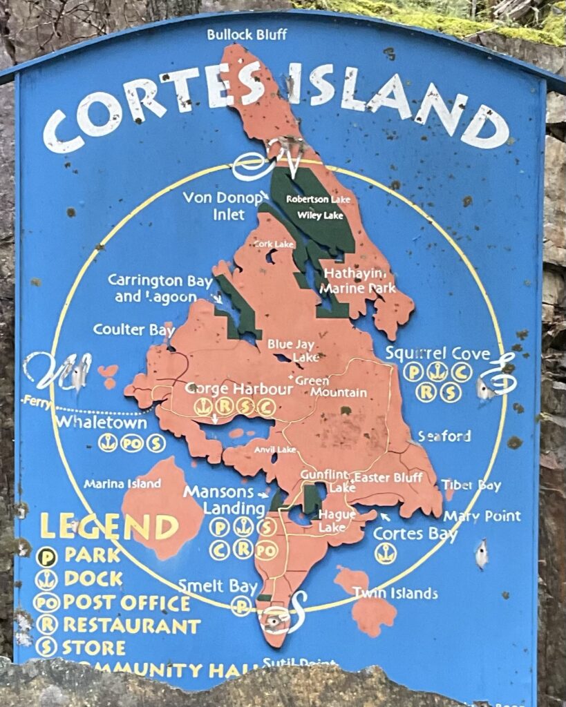
Here are some noteworthy features of Cortes Island:
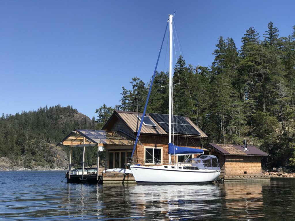
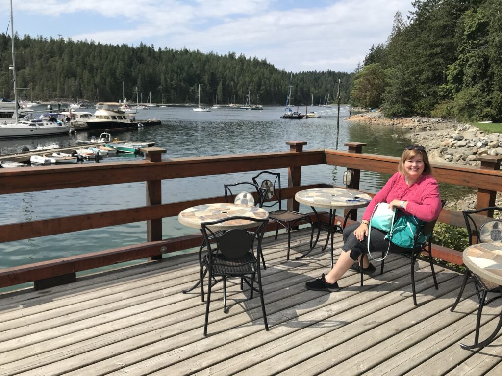
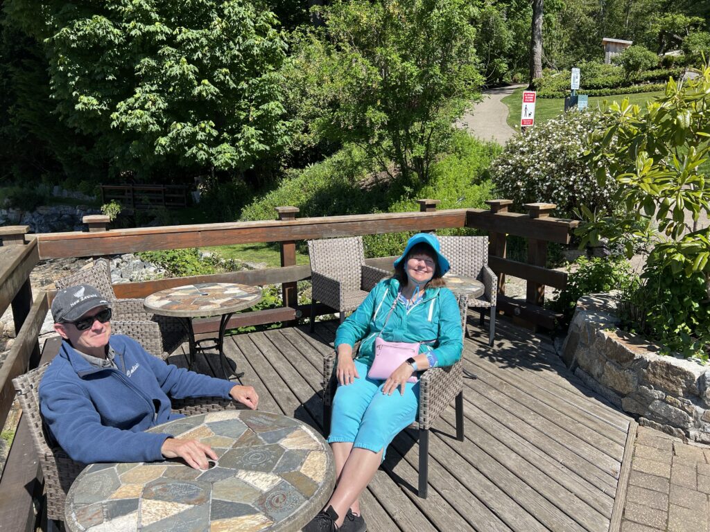
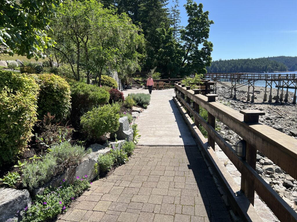
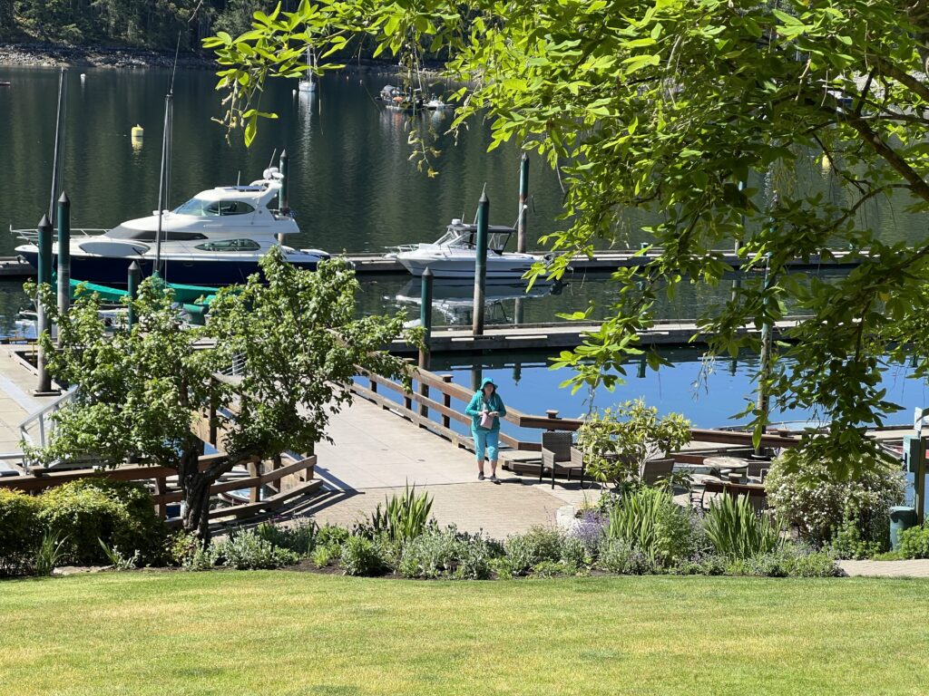
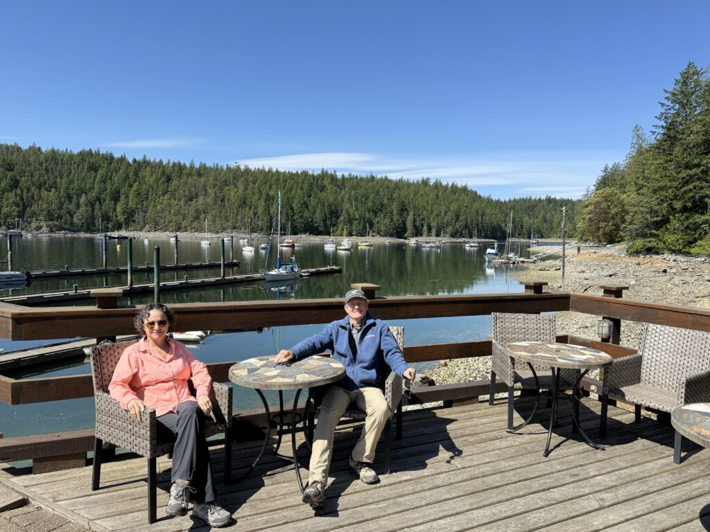
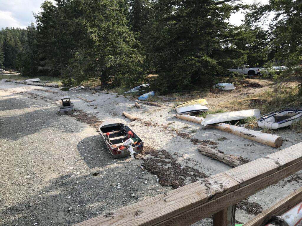
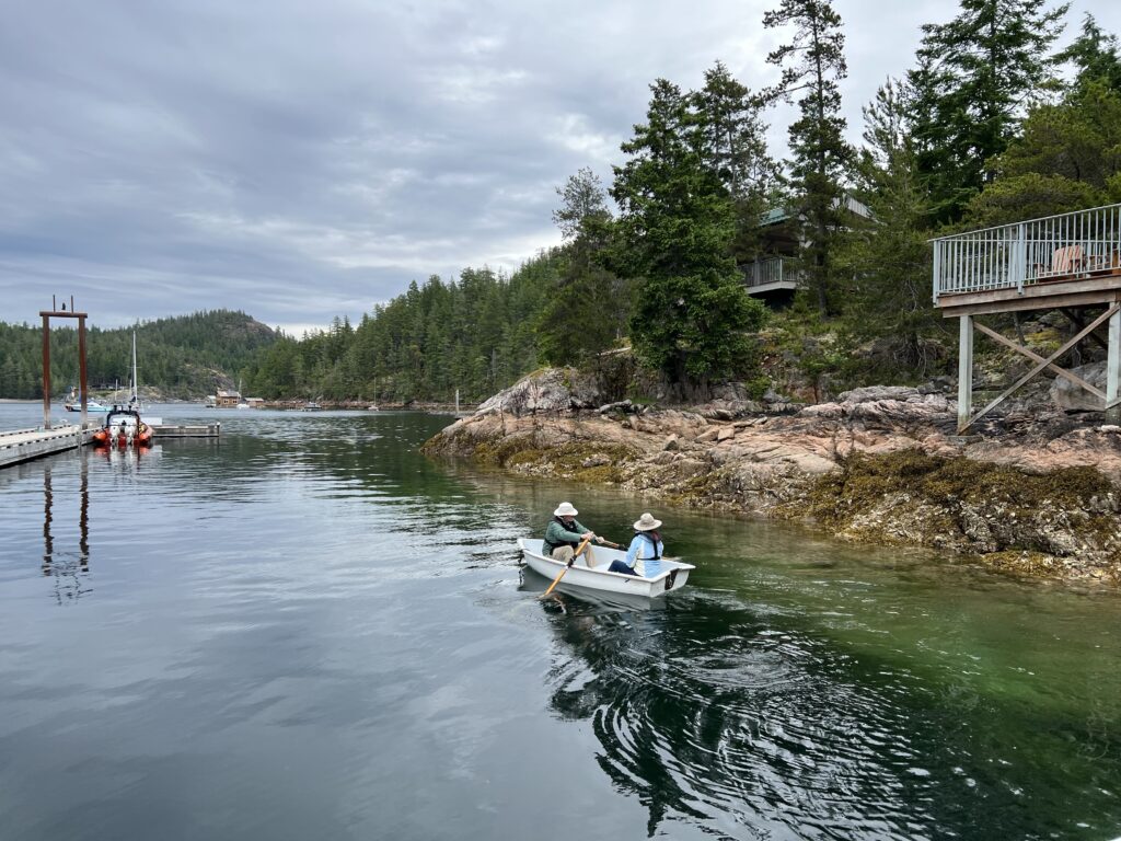
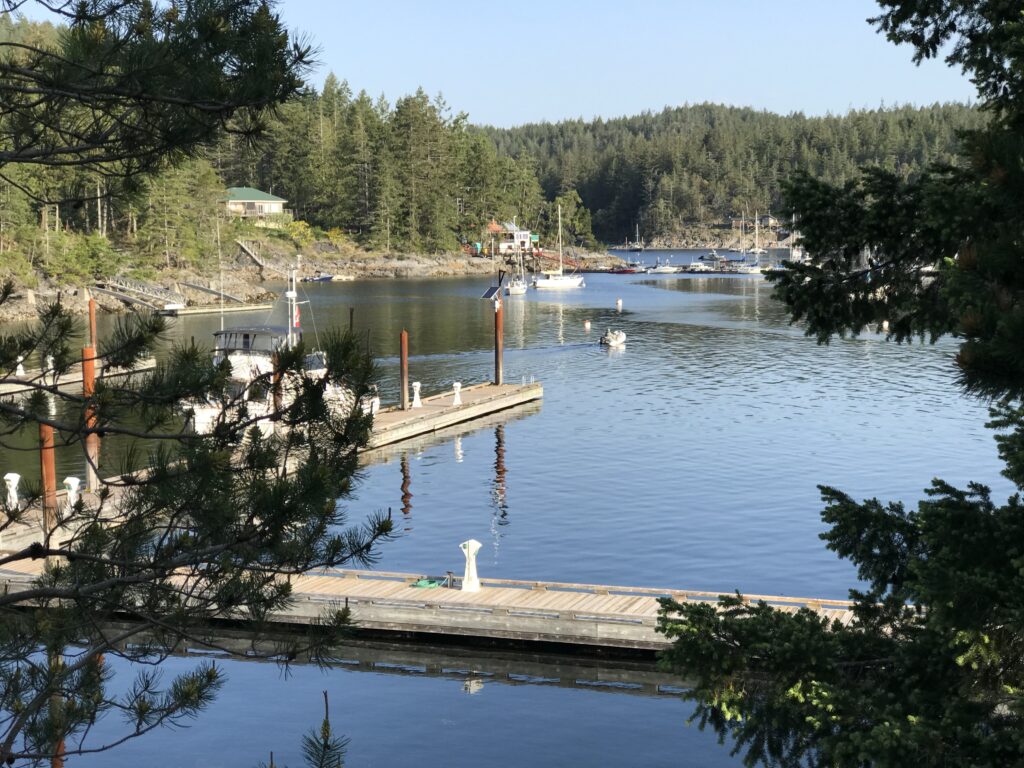
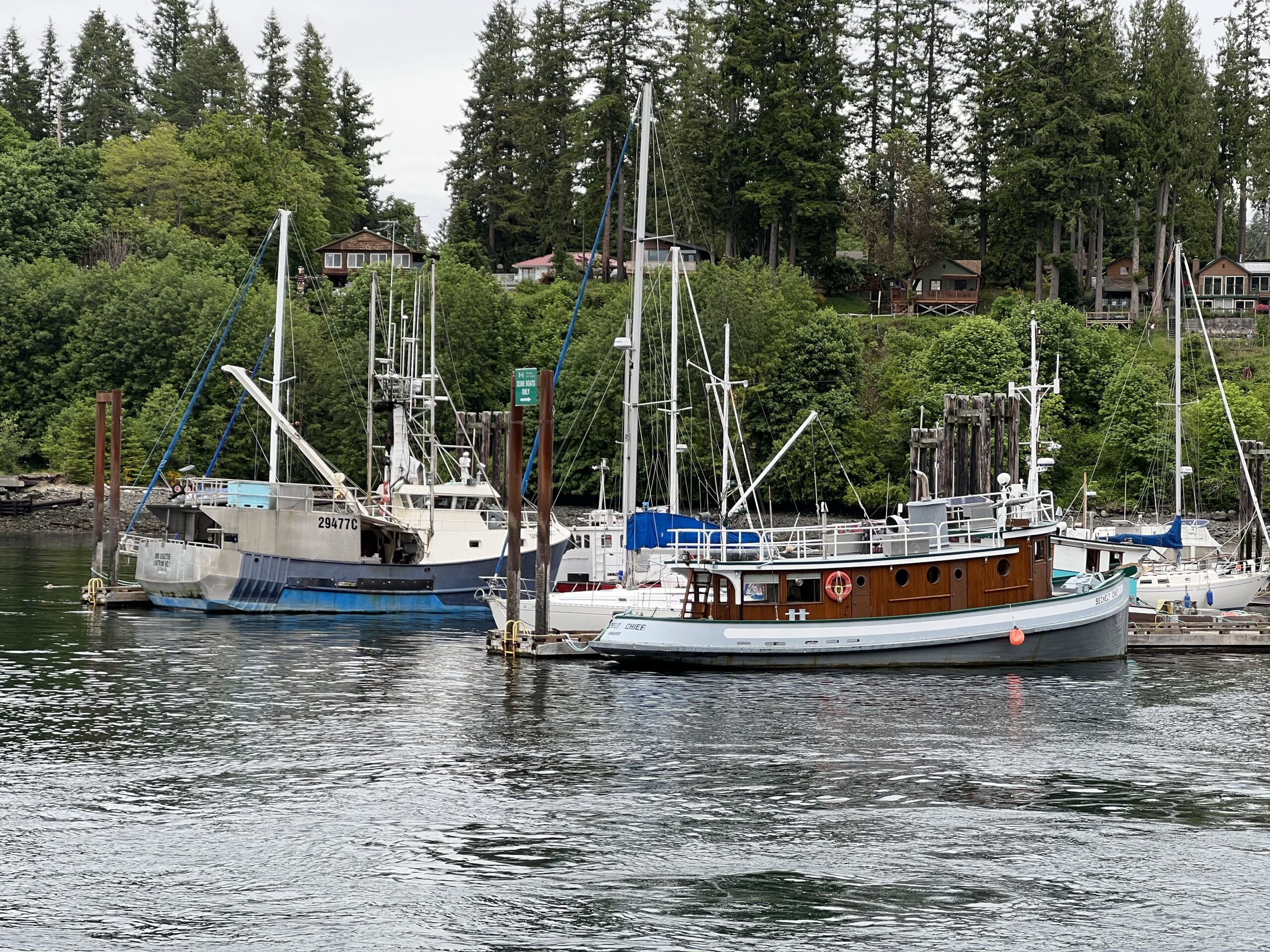
Boaters: Cortes Island is a great destination for boaters, with several public docks and marinas available6. The island is accessible by ferry from Campbell River on Vancouver Island3. That takes you to Quadra Island.
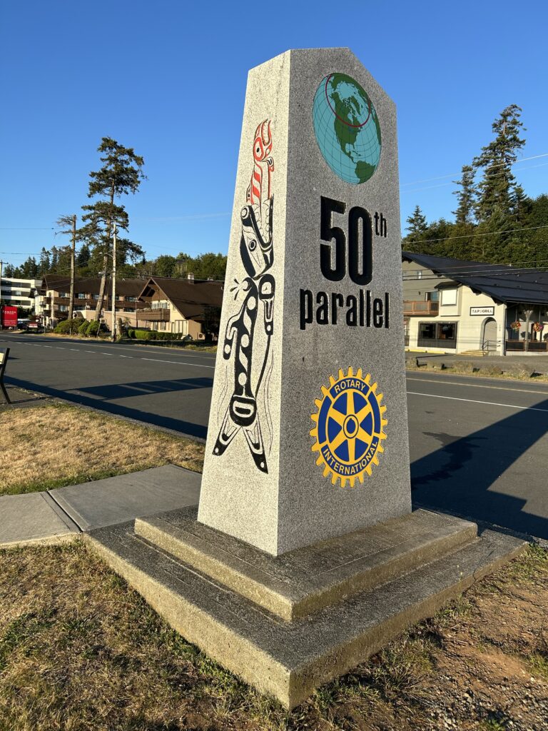
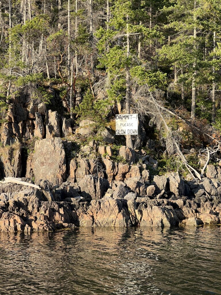
The Island almost touches the 50th Parallel at its southernmost tip. 50 degrees, 0 minutes 0 seconds North Latitude (parallel) 125 degrees, 14 minutes, 51 seconds, West Longitude (meridian)
0 degrees latitude – equator, 90 parallels to either pole, 180 total
0° Longitude: Greenwich England
Longitudes (meridian) are triangular shapes, 69 miles (111 km.) apart at the Equator and 44.55 miles apart (71.6 km) at the 50th.
50° North Latitude intersects with 125° West Longitude 17 km east of this point on the ocean just off the southwest tip of Cortes Island. They, (meridians of longitude) meet at the north & south poles.
Longitudes comprise 180° East and 180° West from Greenwich for a total number of 360, (111 km x 360 =39,460 km. circumference at the equator.) The east and west components meet in the mid Pacific at the International Date Line.
The “antipode” or opposite global position to here is 50° South, 55° East which is in the Indian Ocean, about 400 km southeast of Port Elizabeth, South Africa.
The “antipode” is about 21,500 surface km away; roughly 13,600 km by direct (through the earth) line.
Other points of interest on 55° East are: central Iran, the Persian Gulf and Dubuai, United Arab Emirates.
On the 50th North Parallel we have Medicine Hat, Alberta, Win-nipeg, Manitoba, Chibougamou, Quebec, Northern New-foundland; Land’s End (The Lizard) south of Plymouth on the English Channel, England, Krakow, Poland, Frankfurt, Germany, northern Mongolia/China; Sakhalin Island and south of Kamchatka Peninsula, Russia.
125° West Meridian (longitude) and 50° South Parallel (latitude) tranverse mostly open ocean.
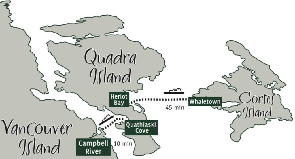
You must take a ferry from Quadra Island to Cortez Island. If you are coming from Seattle an additional ferry to Vancouver Island is involved.
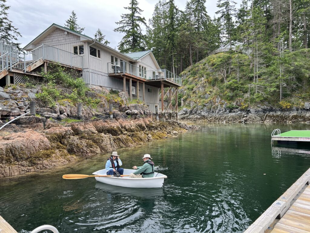
Hence boating or Seaplane from Seattle makes a lot of sense. There are rental places for kayaks and row boats on the island12.
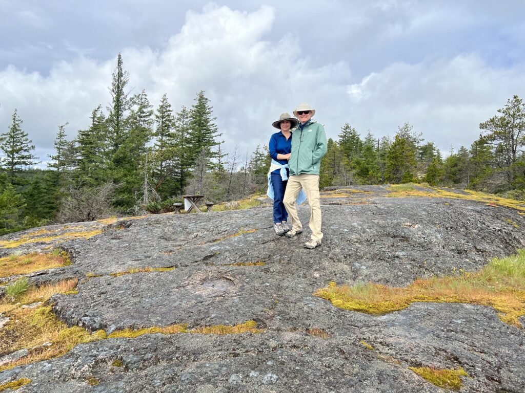
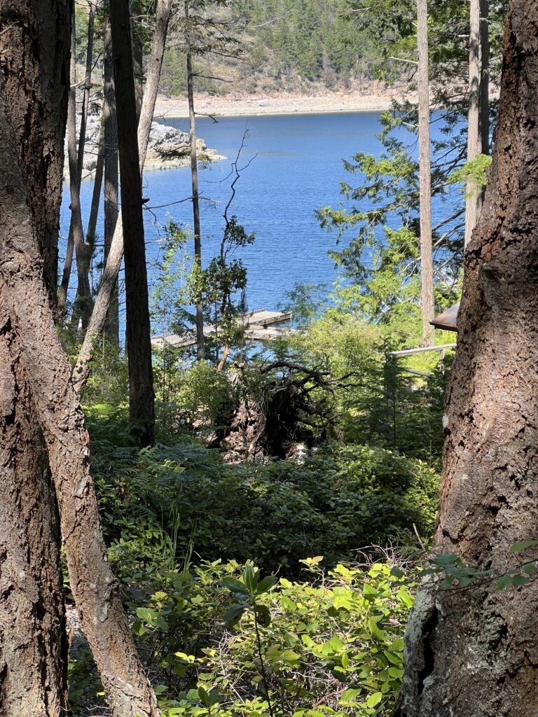
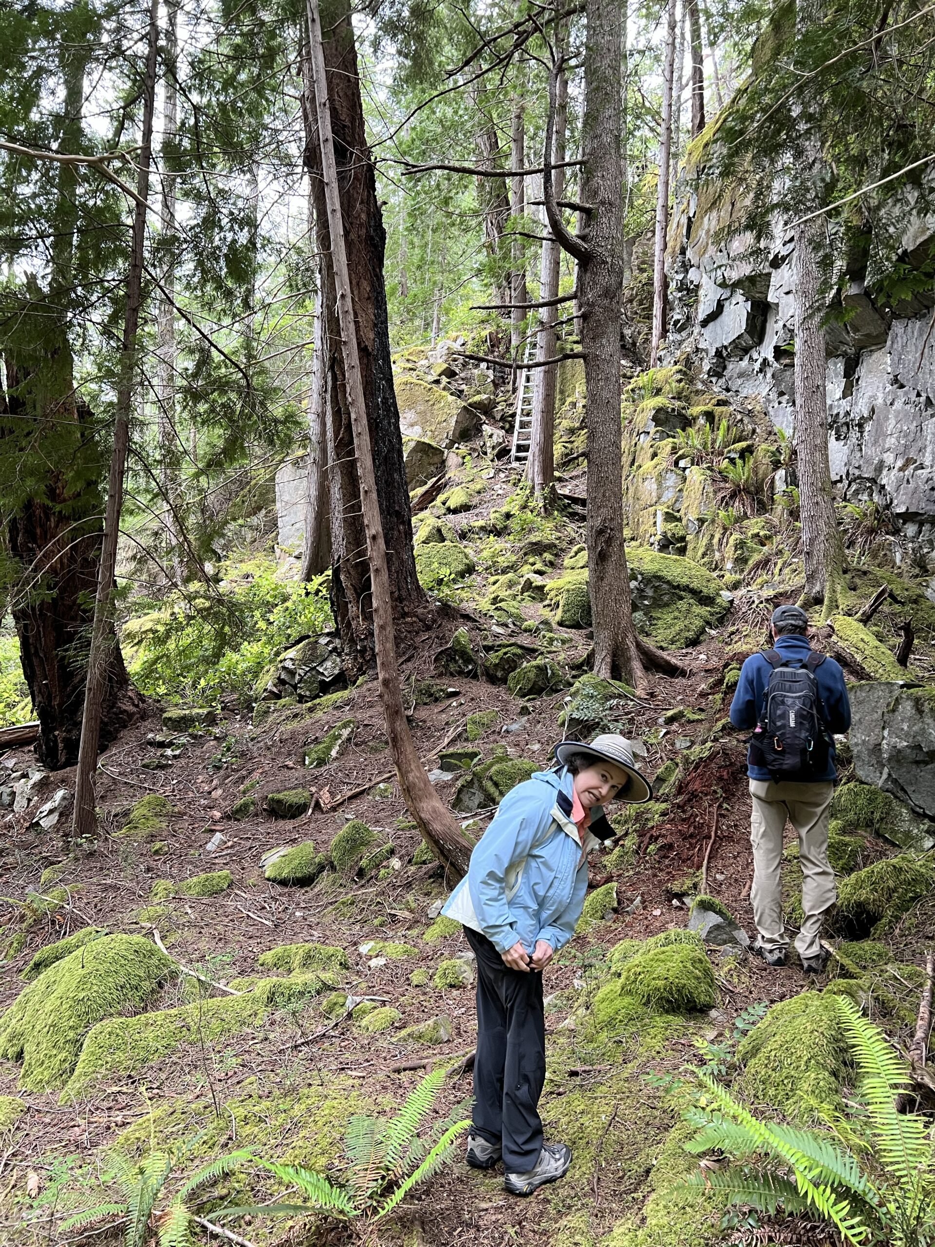
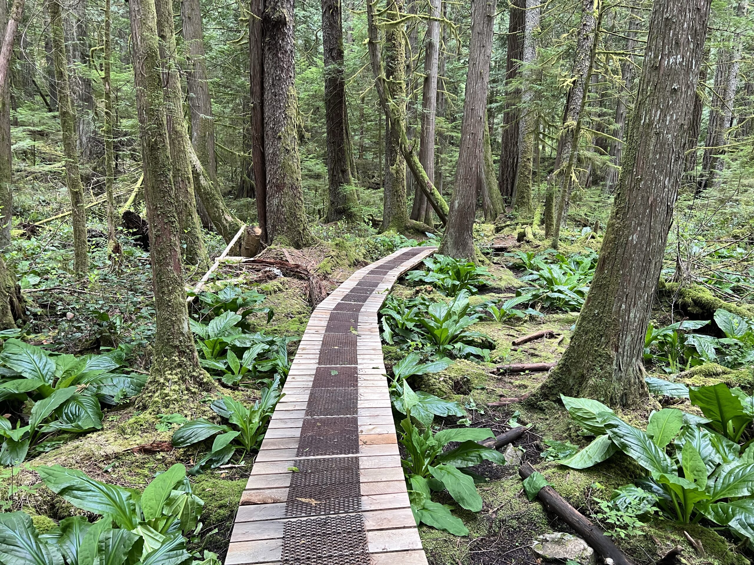
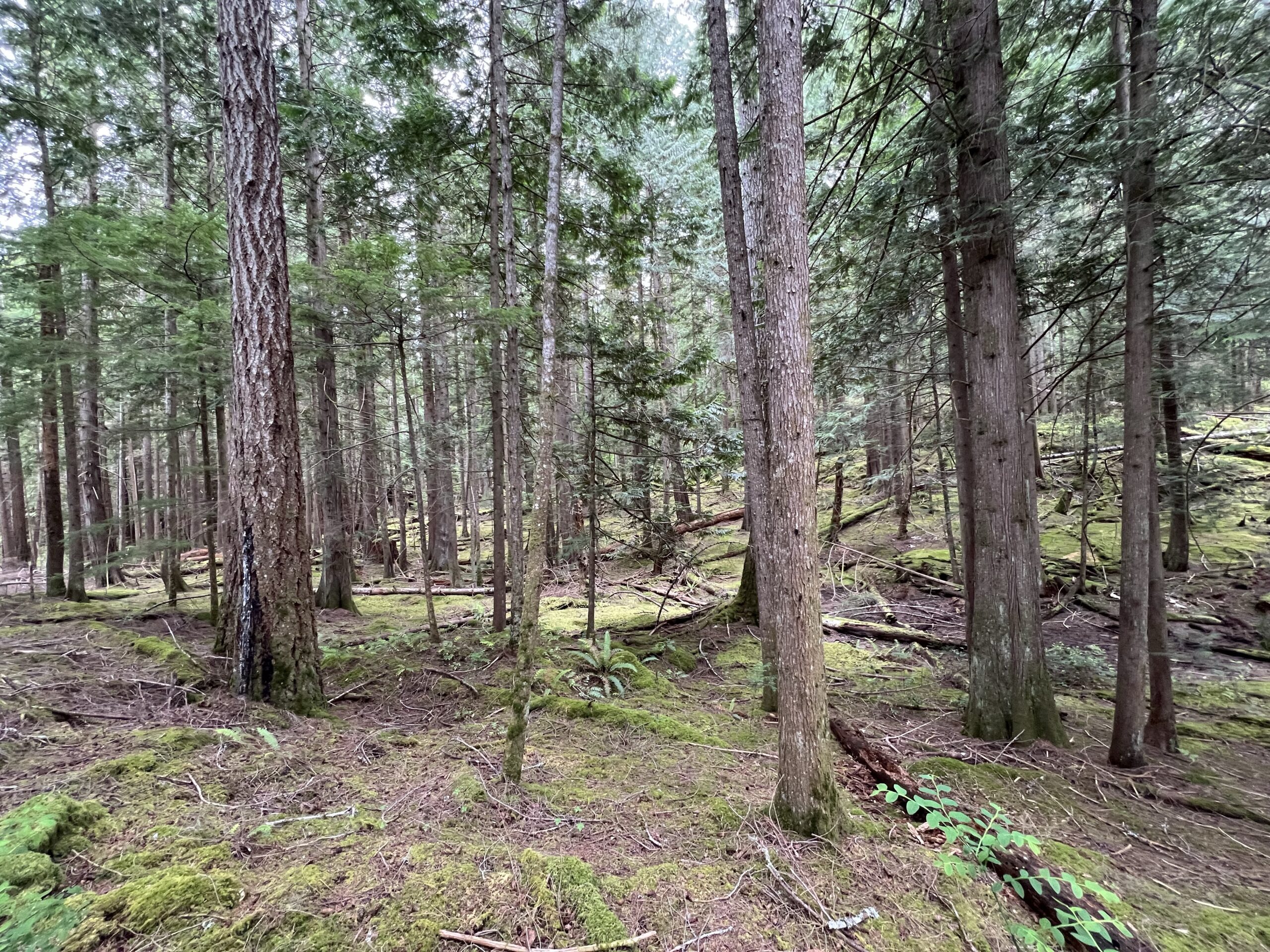
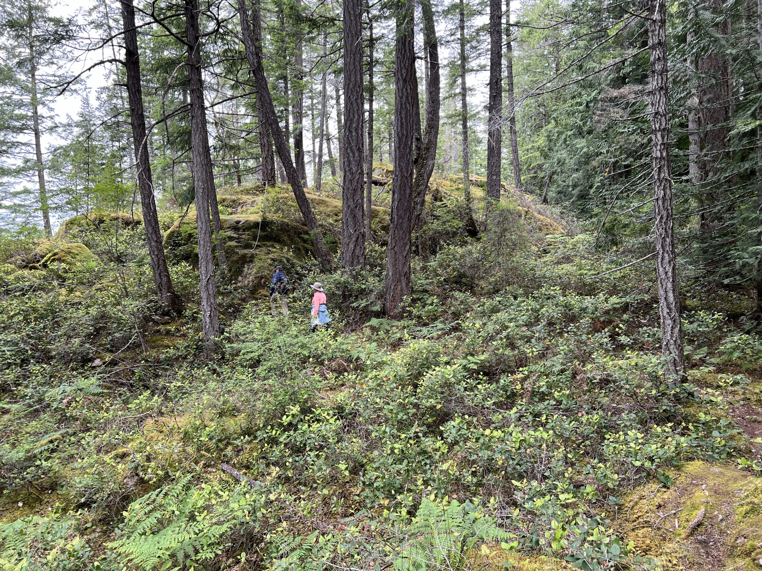
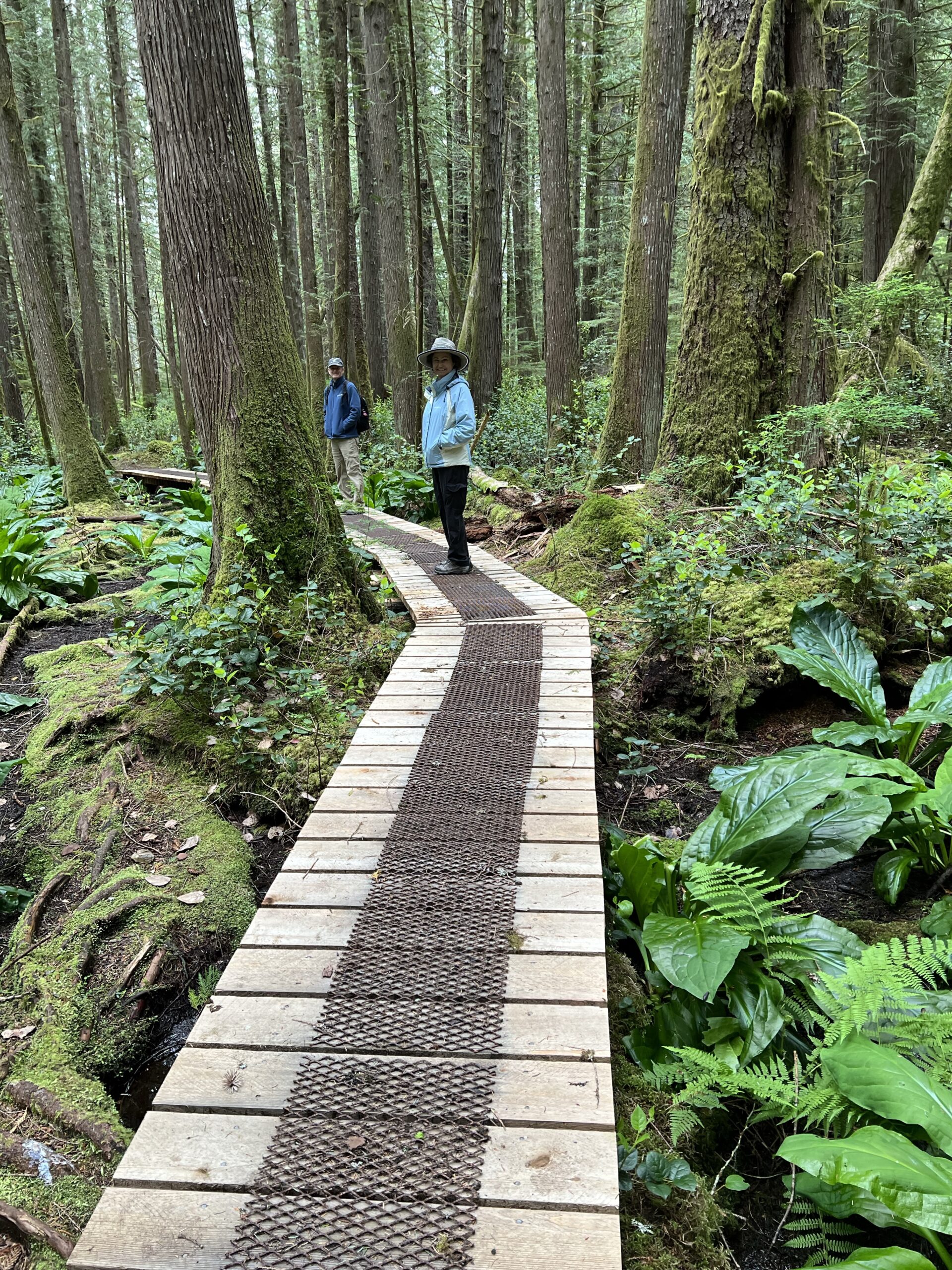
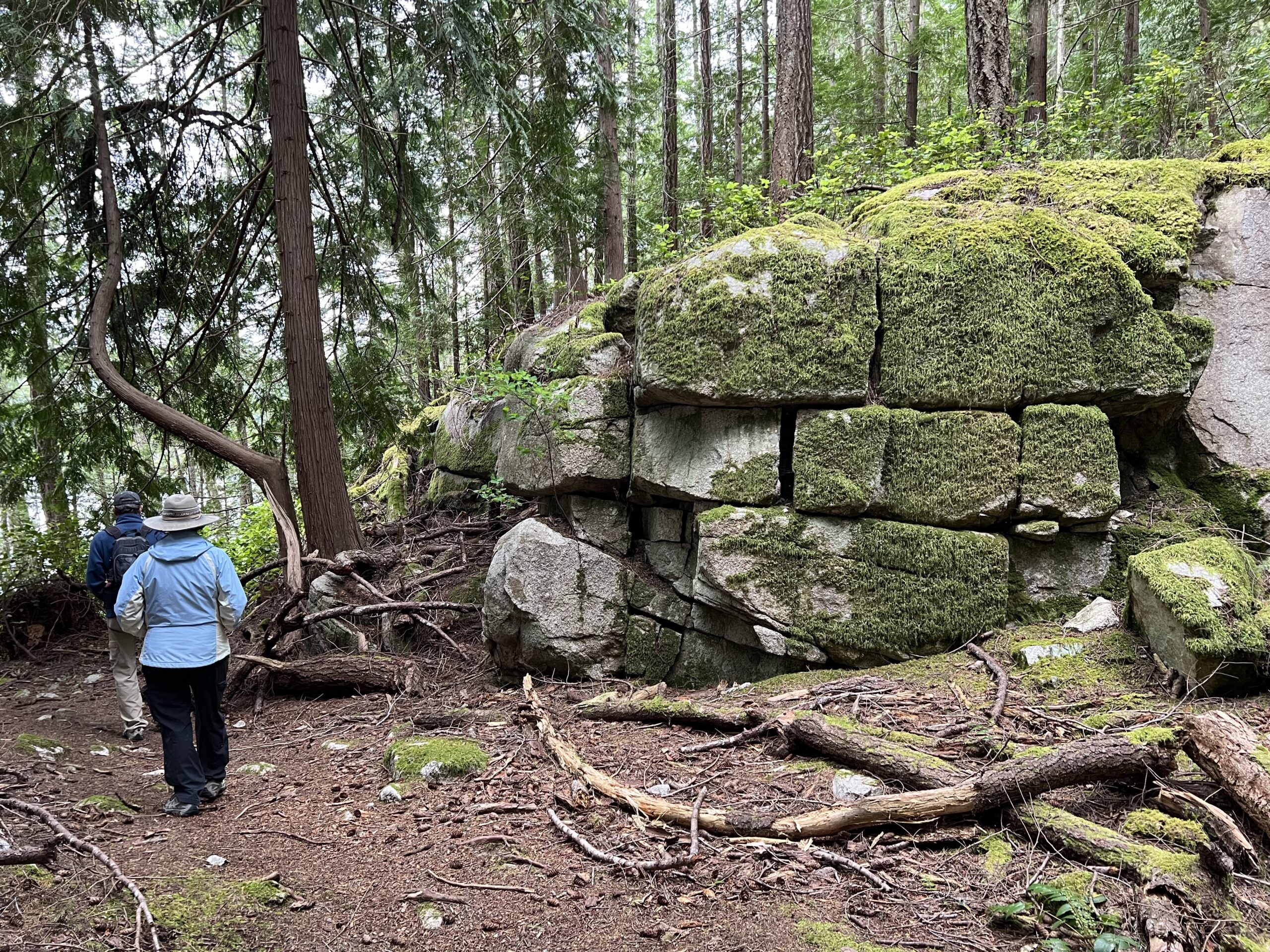
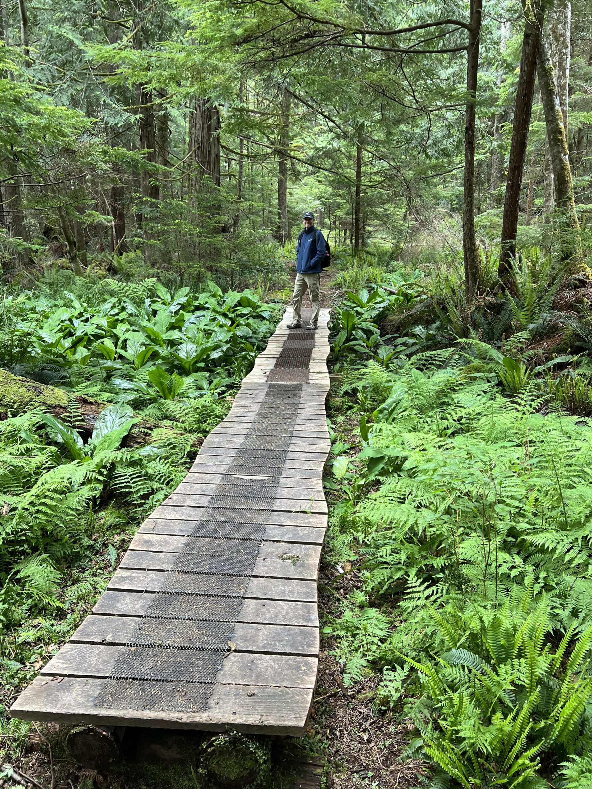
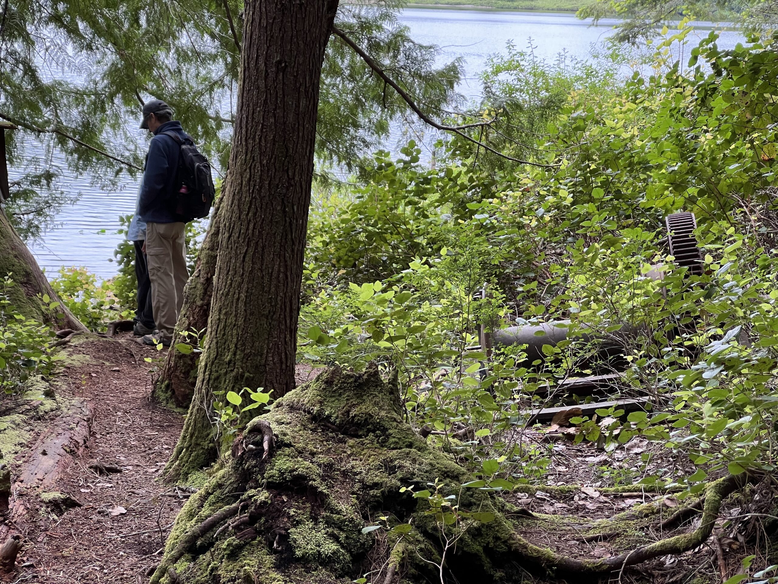
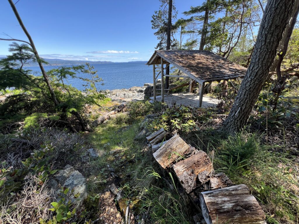
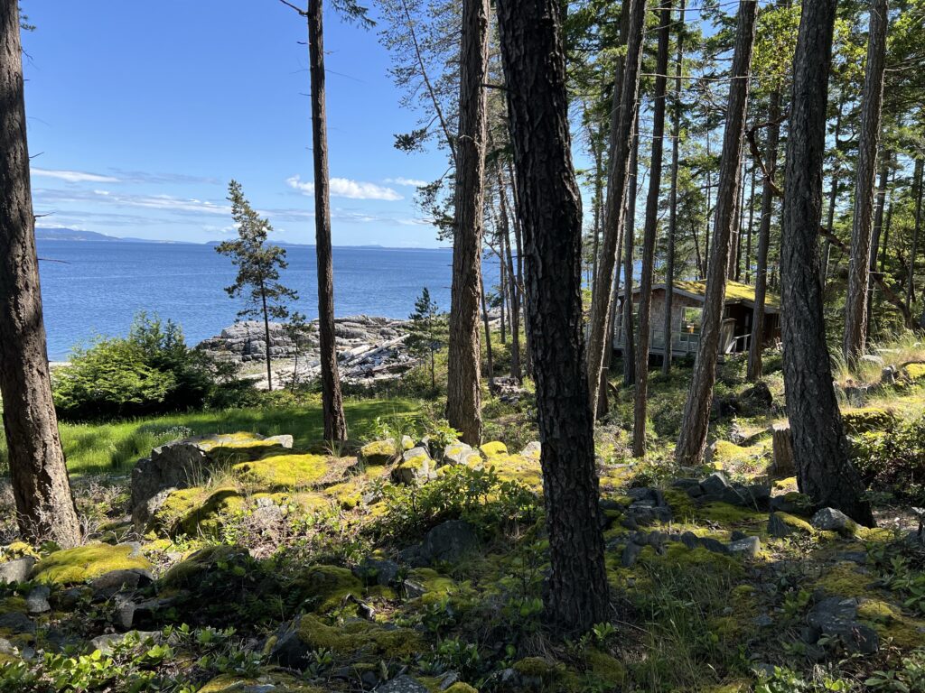
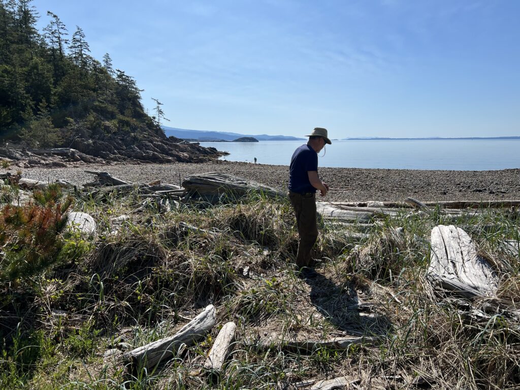
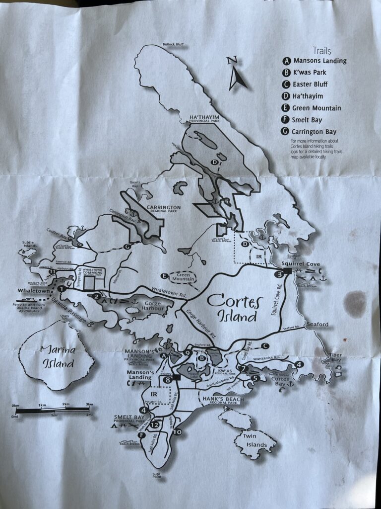
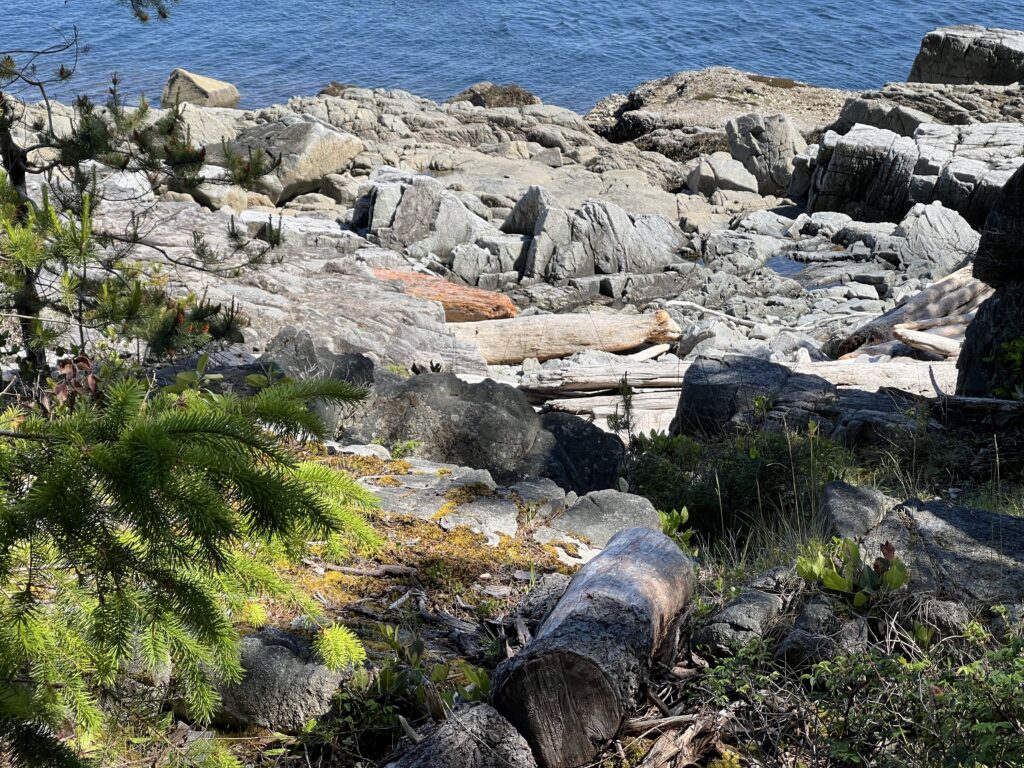
Hikers: Cortes Island offers several hiking trails for nature enthusiasts5. The trails explore wetland areas, the shores of Hague and Gunflint Lakes, and some summits5.
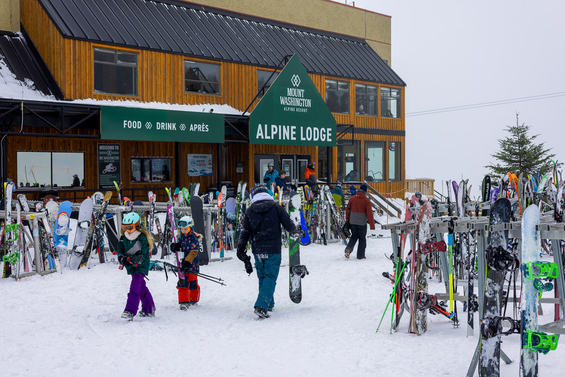
Skiers: Cortes Island does not have any ski resorts, but nearby Mount Washington Alpine Resort on Vancouver Island offers skiing and snowboarding opportunities3. The ferries run frequently and can not be reserved. Locals think of them as floating bridges that make Vancouver Island part of their home.
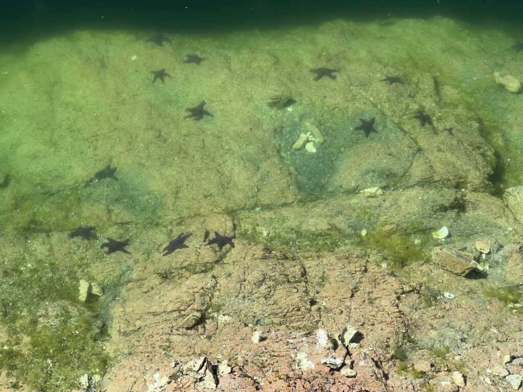
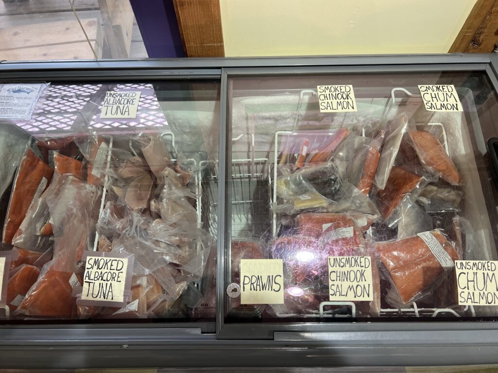
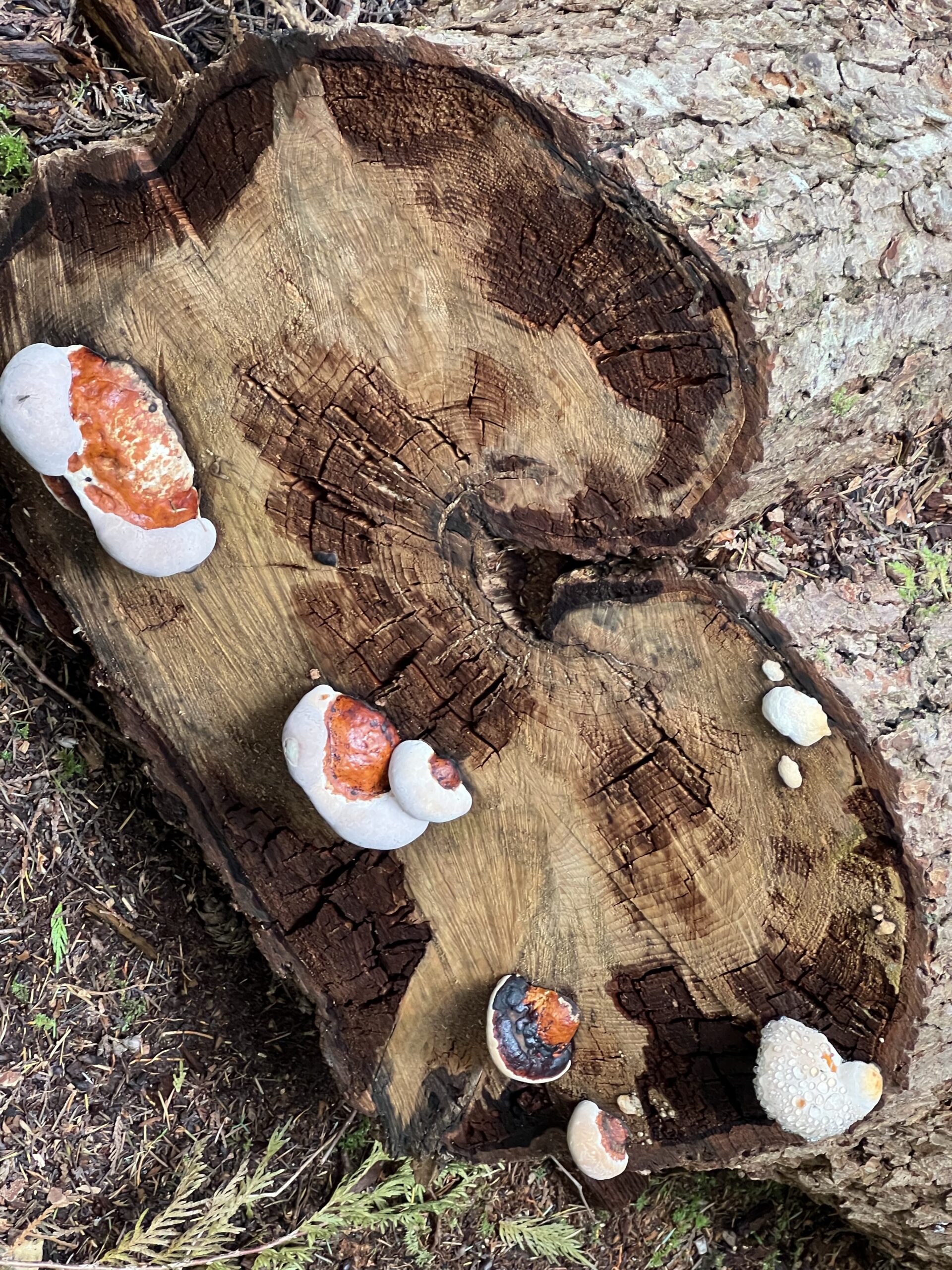
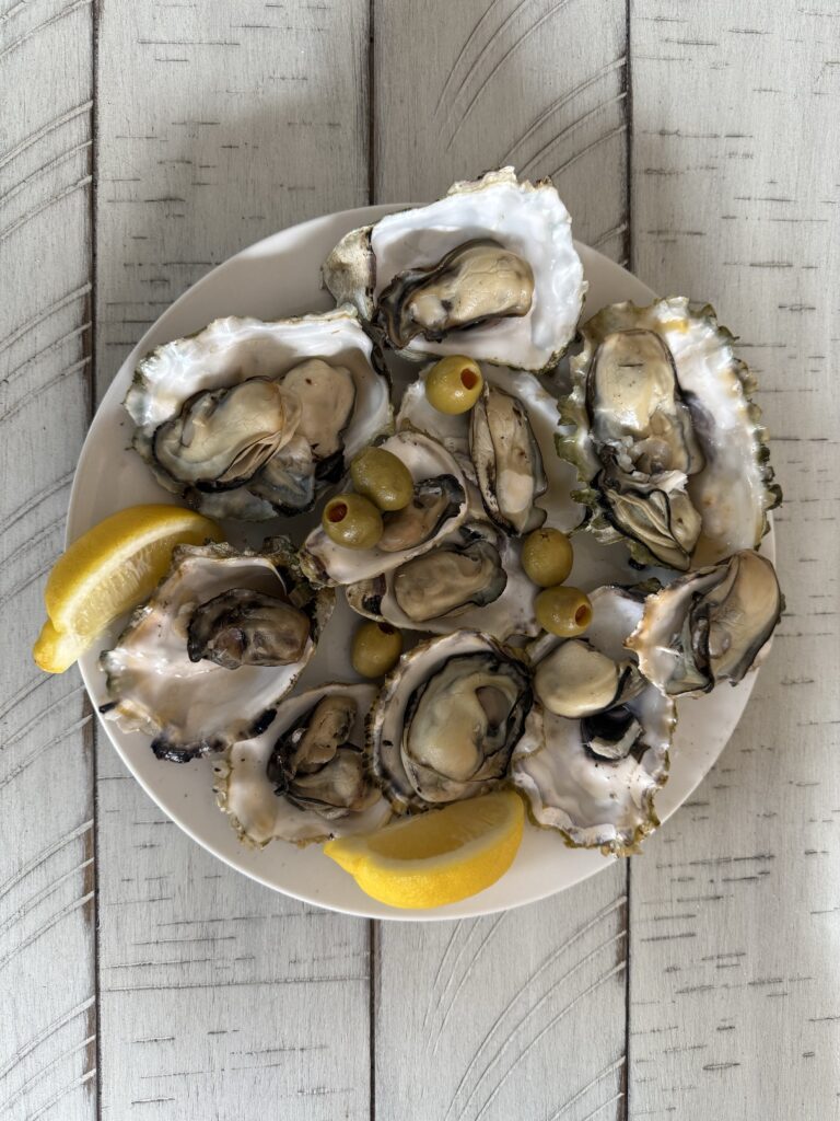
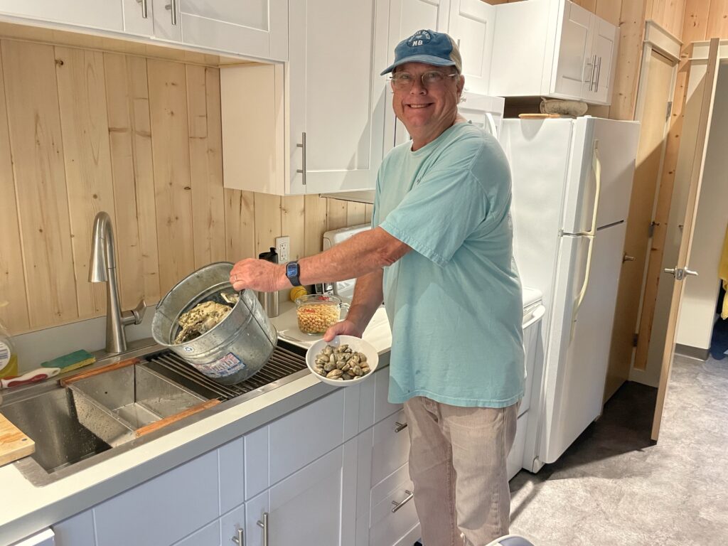
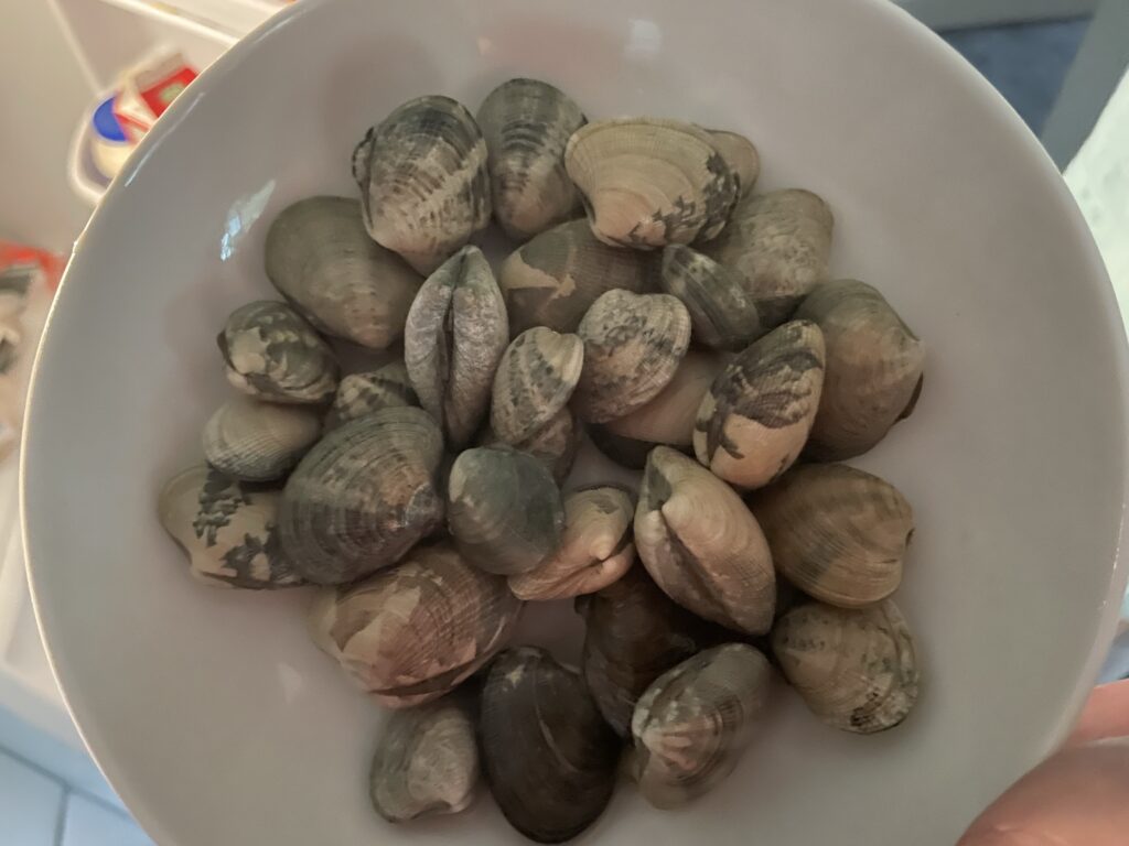
Fishermen: Cortes Island is known for its abundant shellfish and offers several locations for shellfishing4. It is important to follow regulations to ensure safety and sustainability4.
Musicians: Cortes Island hosts several festivals throughout the year, including the Cortes Island Music Festival and Lovefest16.
Cortes Island and Cortes Bay were named after Hernán Cortés, the Spanish conquistador who conquered the Aztec Empire in Mexico6. The island has a rich history, including First Nations settlements, logging, and fishing industries6. Today, the island is known for its artistic community, organic farming, and ecotourism6.
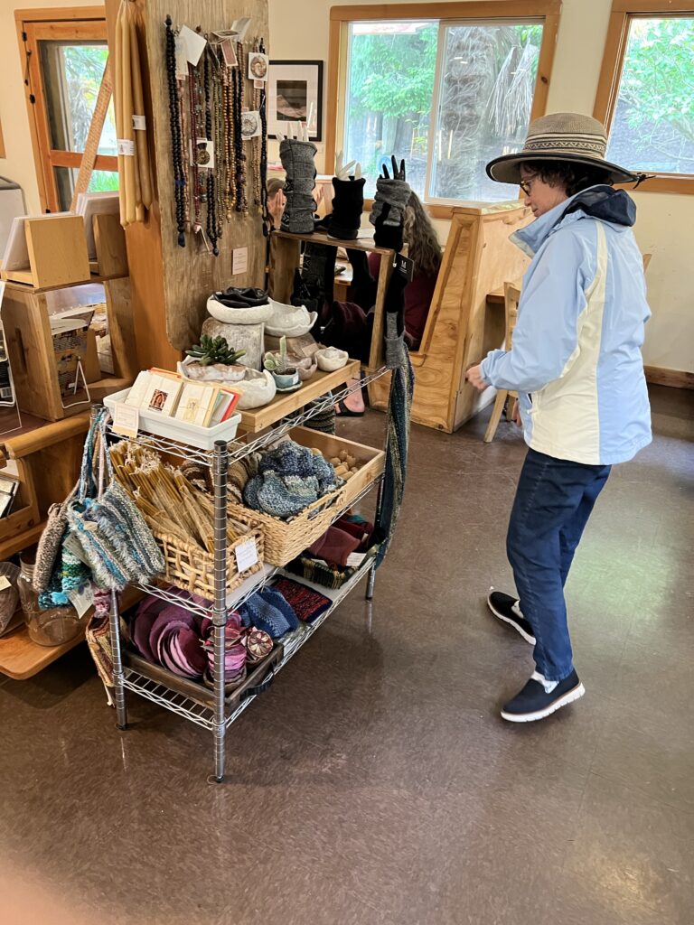
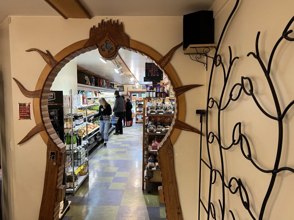

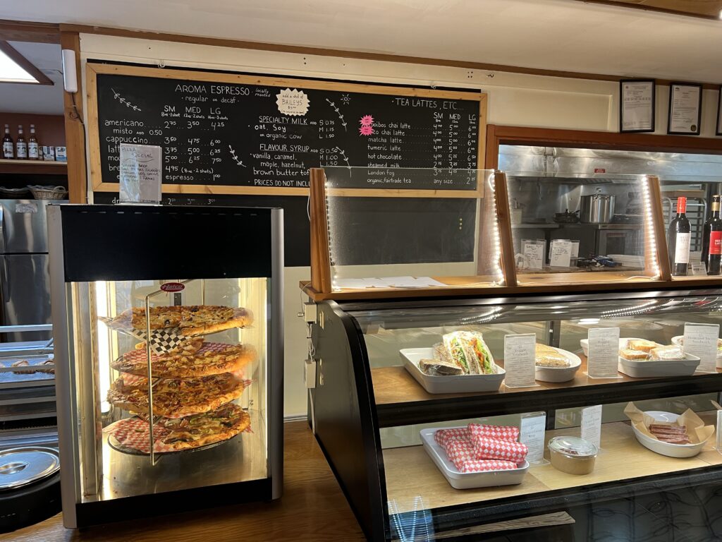
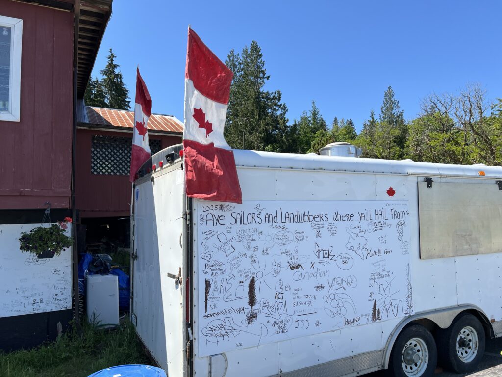
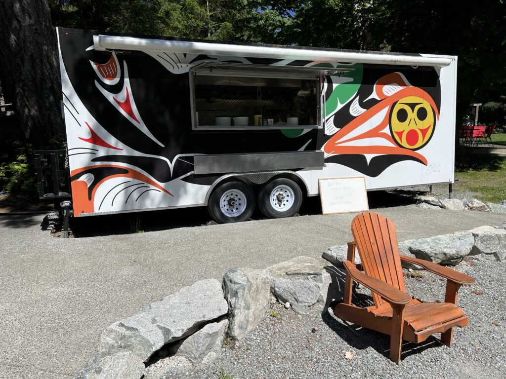
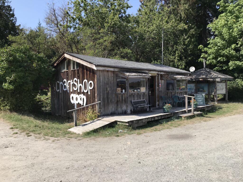
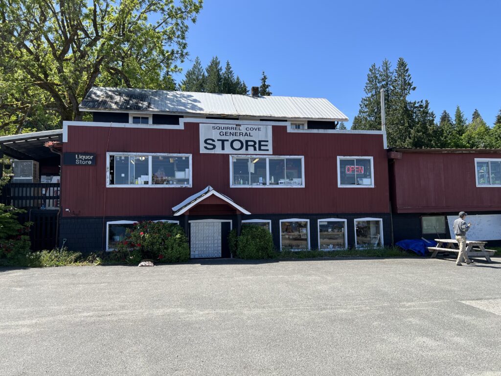
After the pandemic, there are no noteworthy bars or restaurants on Cortes Island, but there are several food trucks and cafes6. On Fridays a farmer’s market and craft fair is held during the tourist season at the Cortes Co-op.
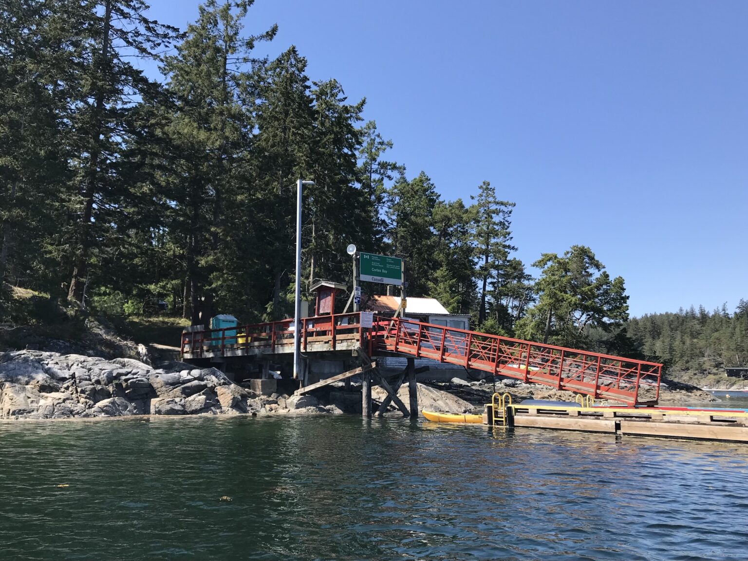
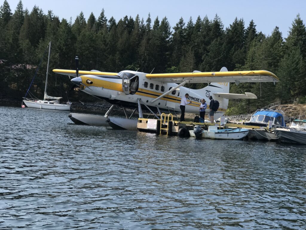
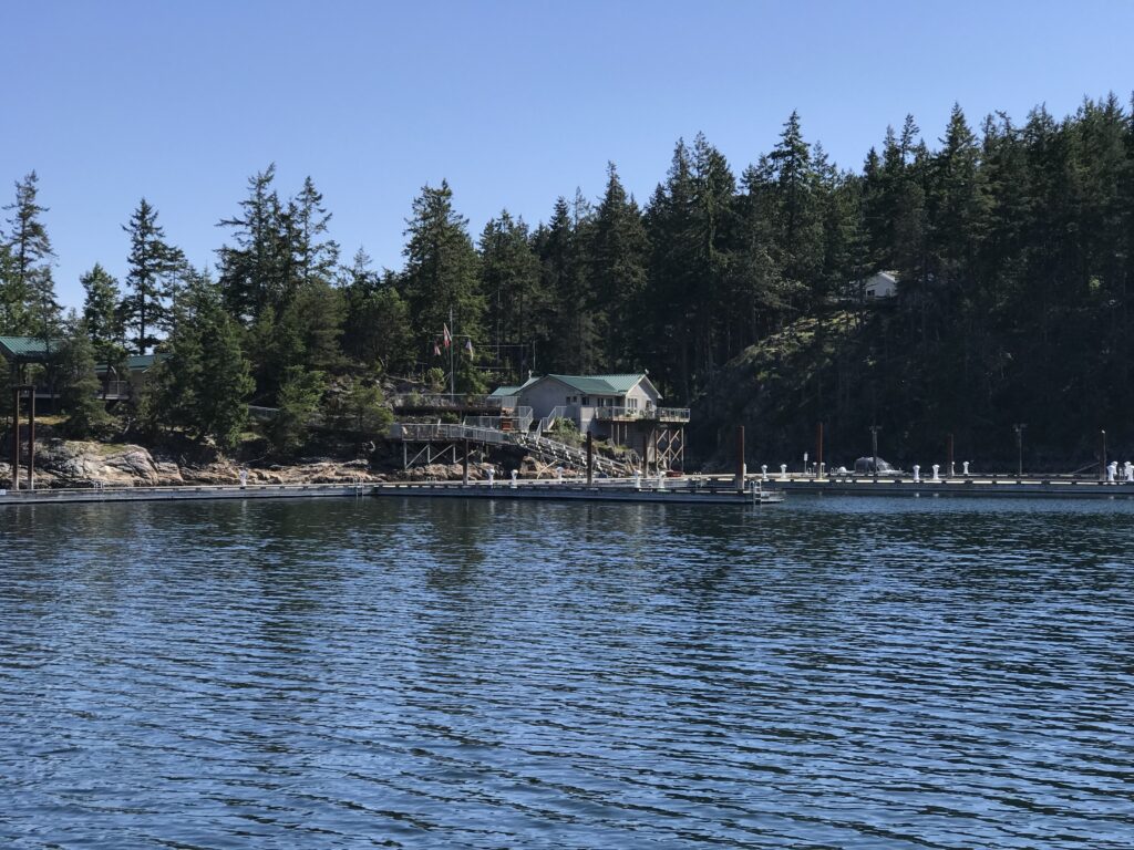
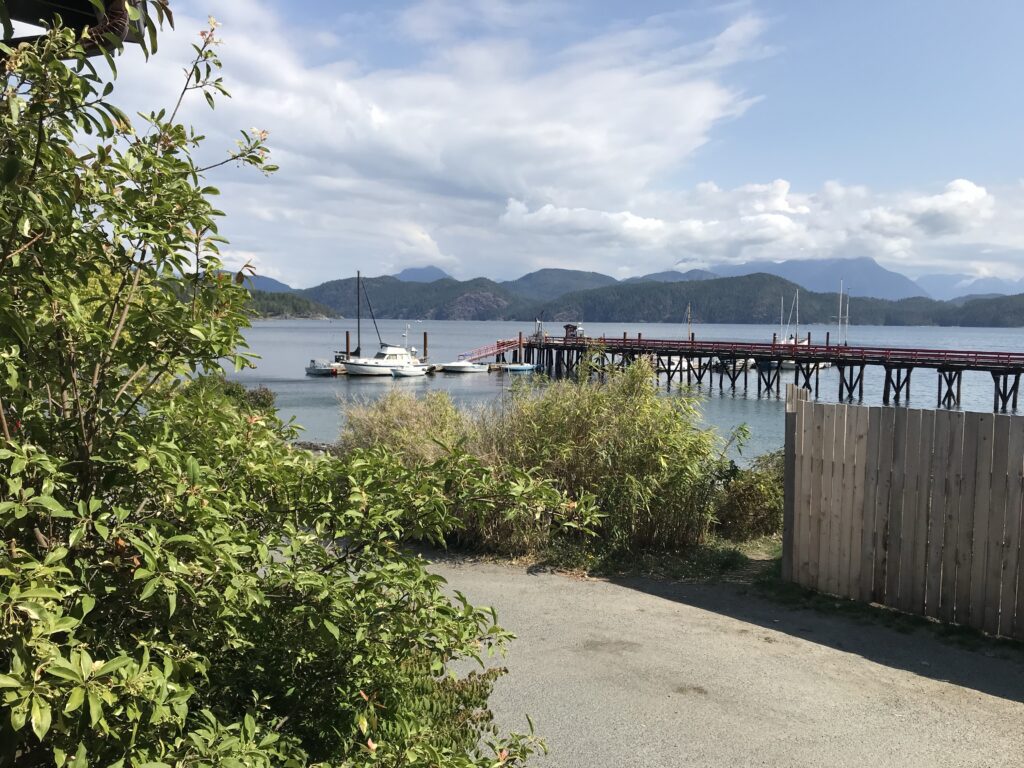
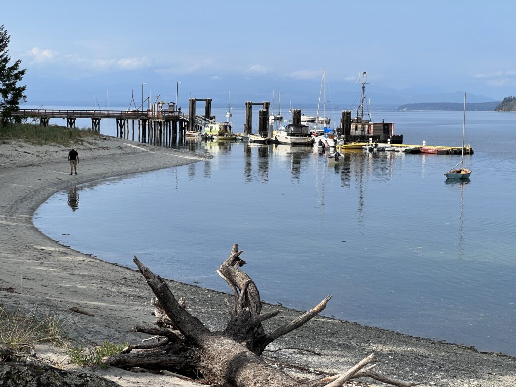
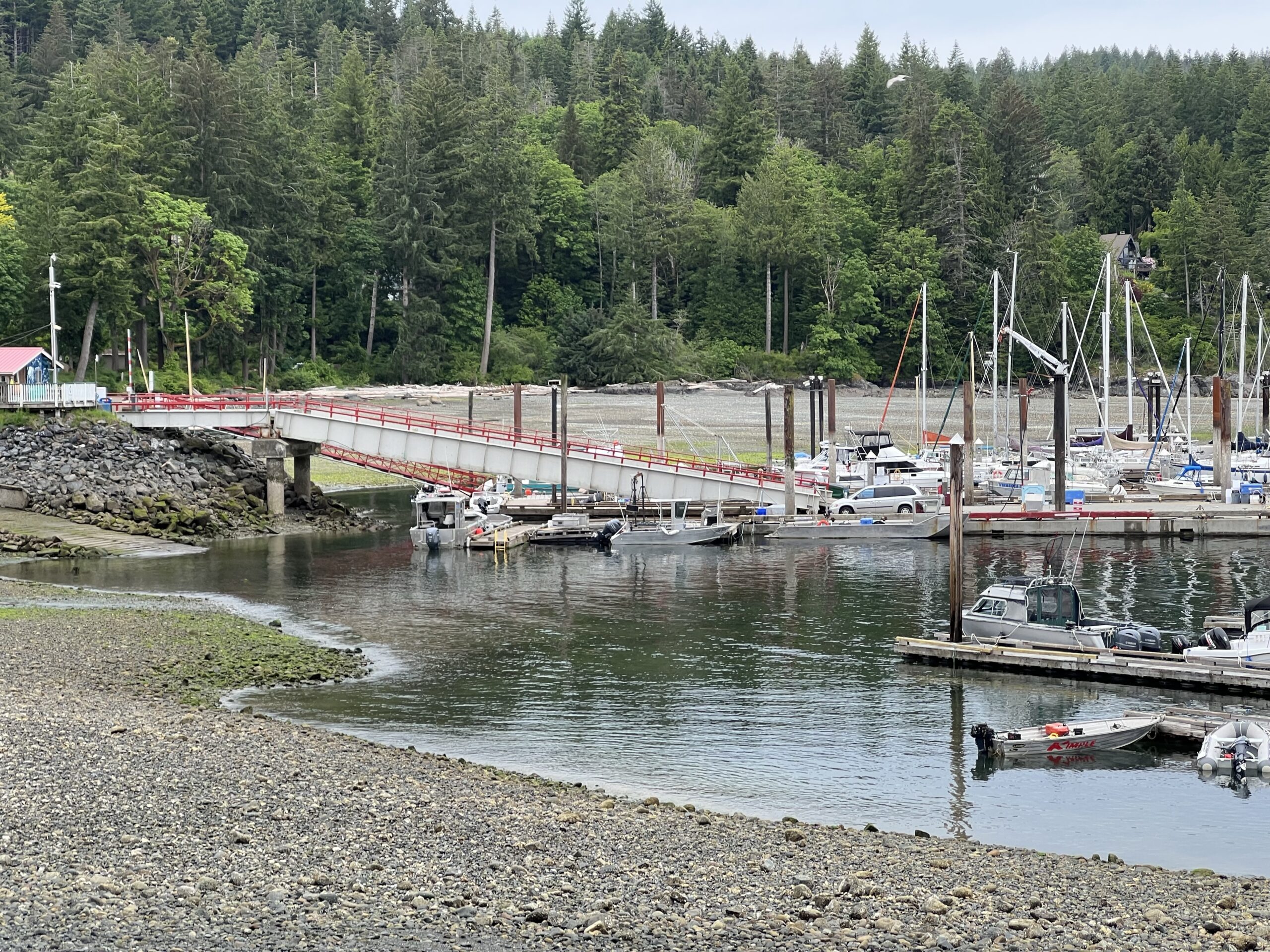
The public docks are located at Cortes Bay on the southeast side of the island4. Several seaplane companies run daily shuttles to Vancouver, Campbell River, and Seattle throughout the summer6.
- Kenmore Air: For schedules go to www.kenmoreair.com or call 1-866-435-9524. Kenmore Air lands at the Government Dock at Cortes Bay.
- Corilair floatplane service: For scheduled and chartered flights go to www.corilair.com or call 250-287-8371.
- Discovery Launch Water Taxi: based in Campbell River www.discoverylaunch.com or call 250-287-7577.
What is the best time of year to visit Cortes Island for boating, hiking, skiing, fishing, or music festivals
The best time of year to visit Cortes Island for boating, hiking, skiing, fishing, or music festivals depends on the specific activity. Here are the recommended times for each:
Boating: The summer months, from June to September, are the best time for boating on Cortes Island. The weather is generally warm and the waters are calm during this period, making it ideal for exploring the island’s coastline and nearby areas1.
Hiking: Cortes Island’s hiking trails can be enjoyed year-round. It is worth checking out in winter.

However, the spring and summer months, from April to September, offer pleasant weather and lush vegetation, enhancing the hiking experience46.
Skiing: Cortes Island does not have ski resorts. However, nearby Mount Washington Alpine Resort on Vancouver Island offers skiing and snowboarding opportunities during the winter months, typically from December to April3.
Fishing: Fishing can be enjoyed year-round on Cortes Island. The island is known for its abundant shellfish, and the best time for shellfishing is during low tide cycles. Harbor areas are closed to shellfishing in the summer months.
Music Festivals: The Cortes Island Music Festival, a popular. annual event, typically takes place in the summer months, offering a wide variety of music performances23.
It is important to note that weather conditions and festival dates may vary from year to year, so it is recommended to check the official websites or local sources for the most up-to-date information before planning a visit to Cortes Island.

Where are some good places to paddle kayaks or row boats on Cortes Island?
Cortes Island is a great destination for kayaking and row boating enthusiasts. Here are some of the best places to paddle kayaks or row boats on Cortes Island:
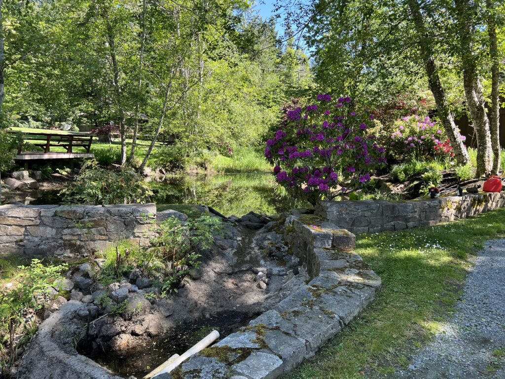
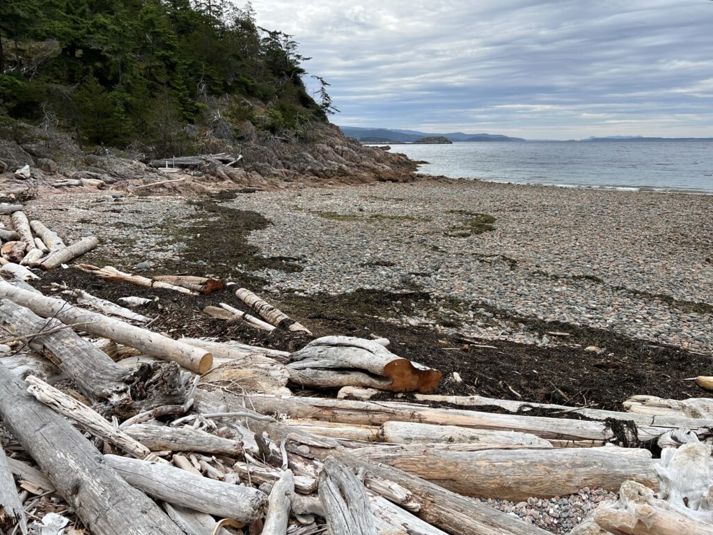
The lagoon near Mason’s Landing is fringed by this marshy habitat, which supports specialized plants such as Saltgrass and Sea Asparagus. Yellow flowered Oregon Gumweed and Dune Wildrye can also be found here.
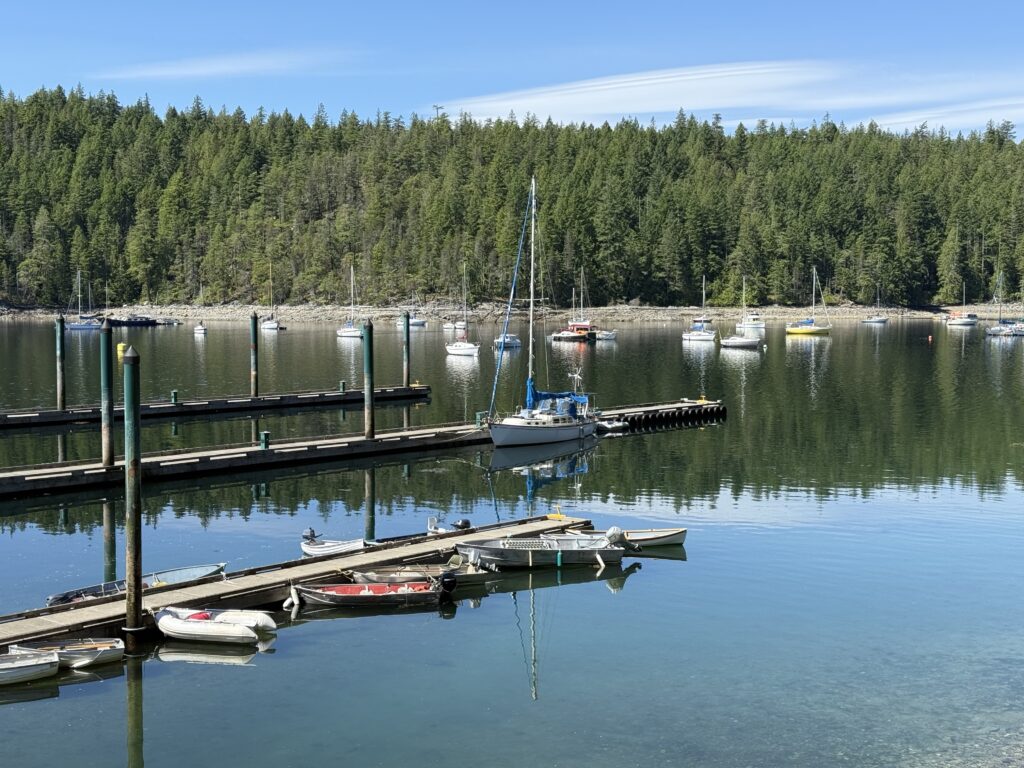
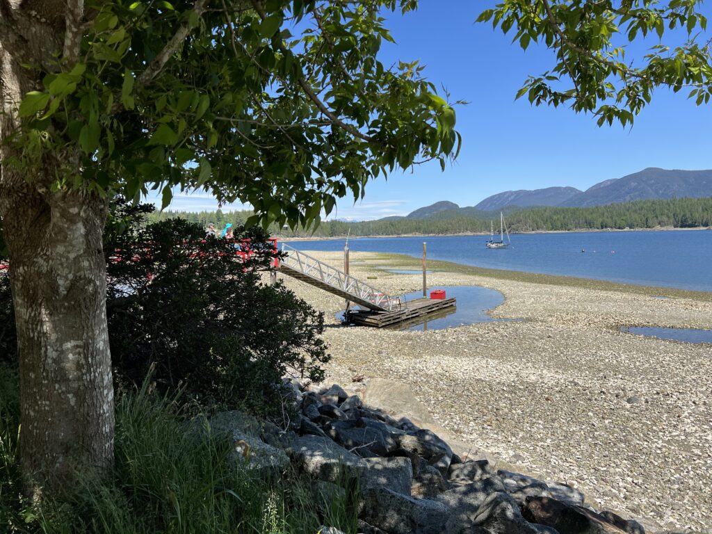
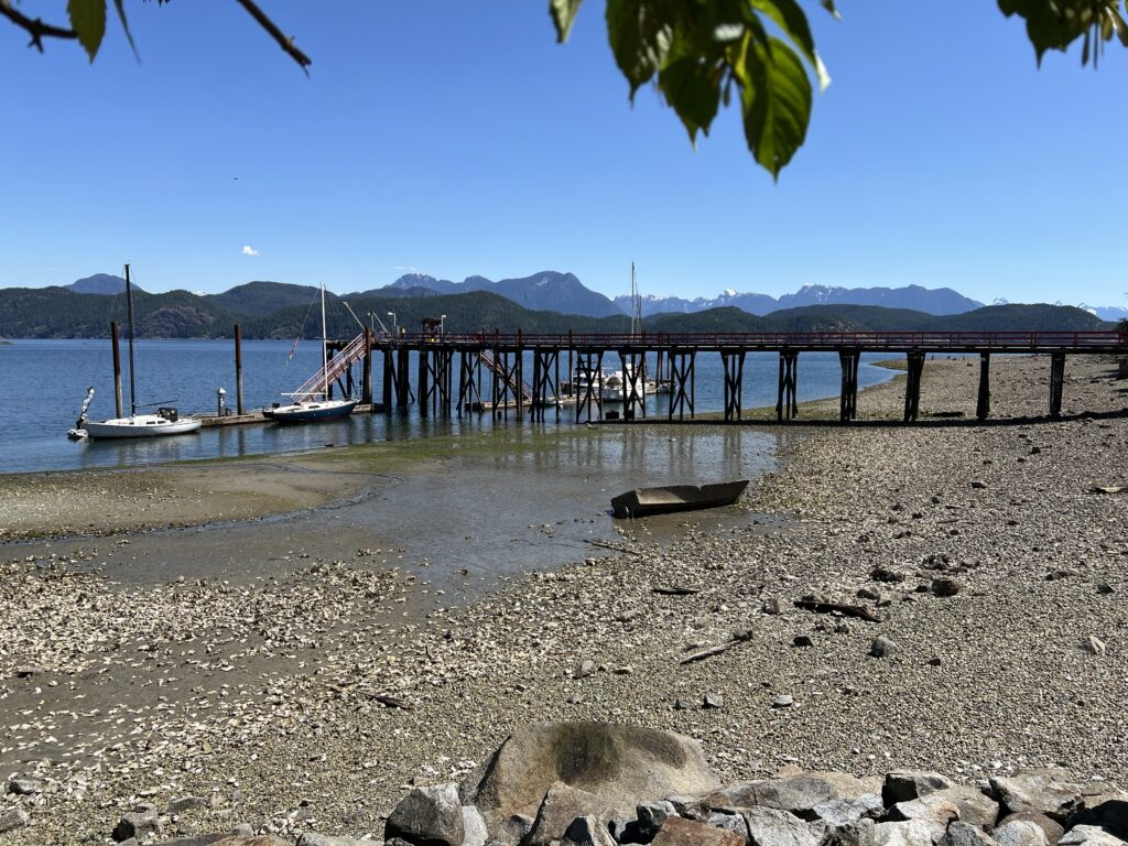
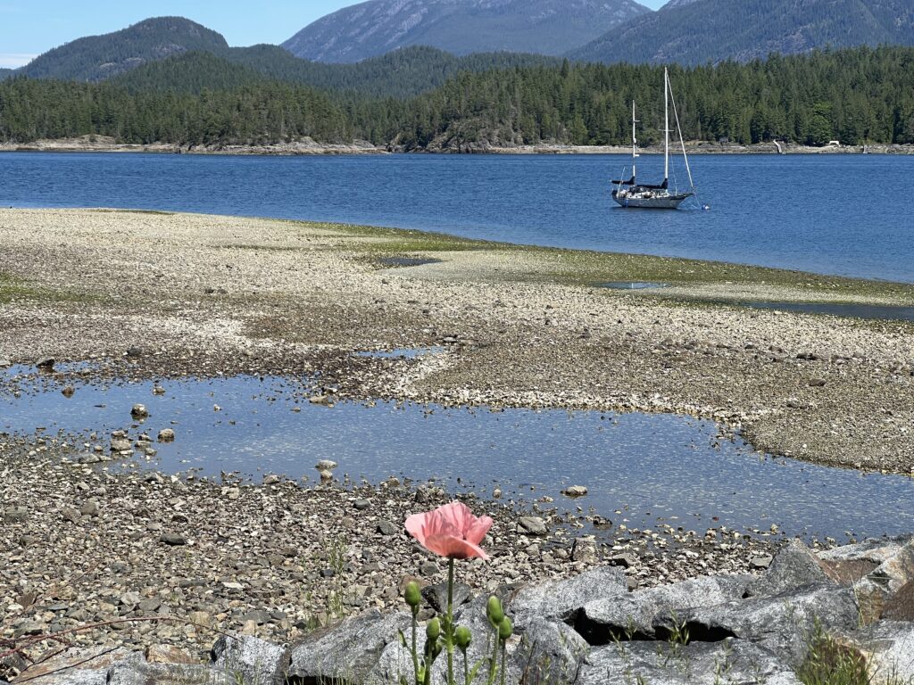
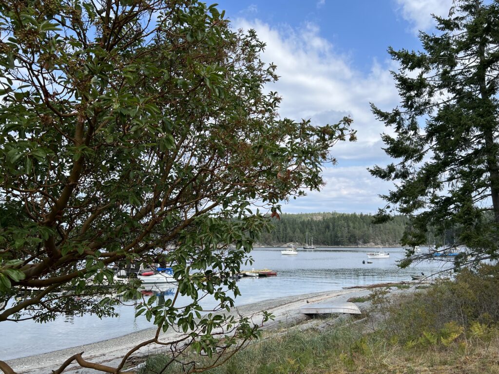
Cortes Bay: Cortes Bay on the southeast side of the island is a sheltered anchorage with a public dock at the head of the bay. Kayaks and trailered boats can be launched at the Blind Creek boat ramp to the northwest of the public dock4.
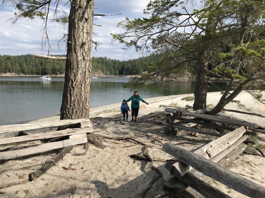
Mansons Landing Provincial Park: Mansons Landing Provincial Park is a great spot for kayaking and row boating. Guided kayak tours launch from here, and it is also a recommended launch site for circumnavigating Cortes Island23. Hollyhock was founded near here in 1982 by Rex Weyler, Siobhan Robinsong and Lee Robinsong who met at Greenpeace. While beach walking on Cortes Island, they saw the abandoned hand-crafted buildings of the former Cold Mountain Institute which is now the retreat for Hollyhock. Hollyhock also offers programs at various locations in Vancouver throughout the year.
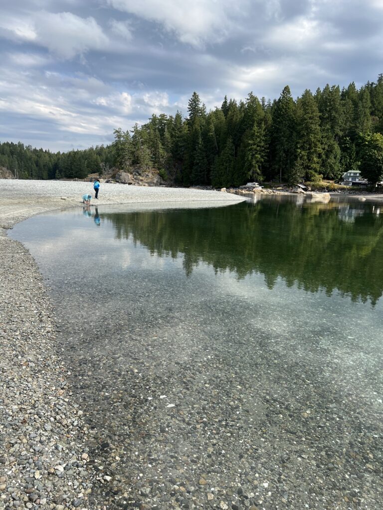
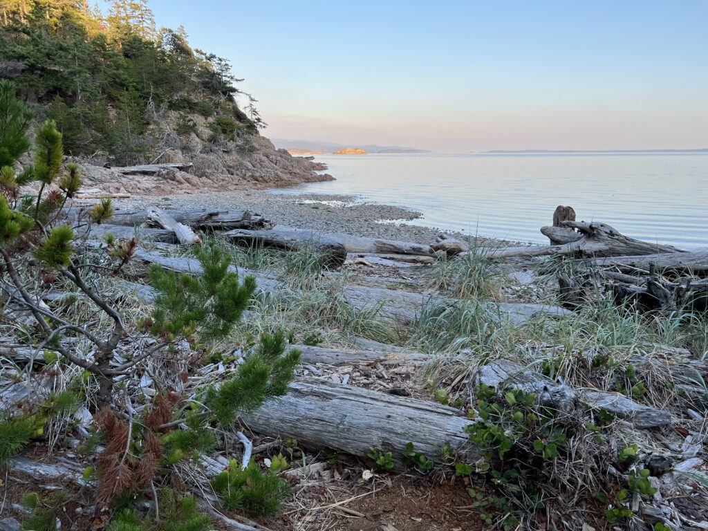
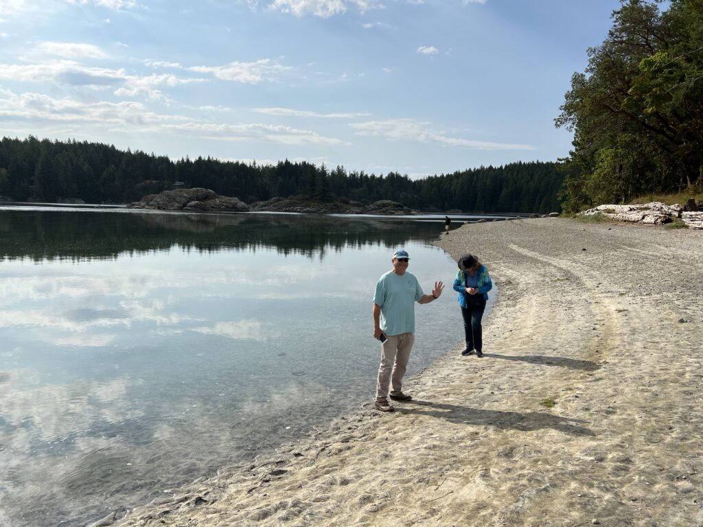
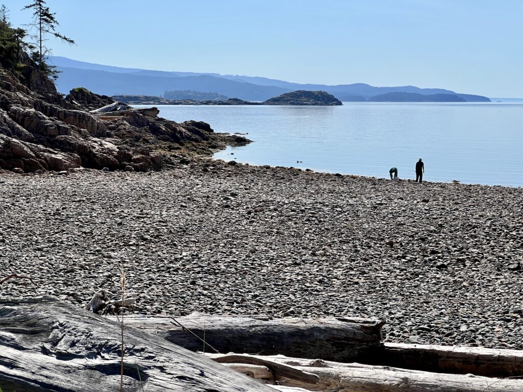
Smelt Bay Provincial Park: Smelt Bay Provincial Park is another recommended launch site for circumnavigating Cortes Island5. Small crafts including kayaks and rowboats can be launched here6.
Hollyhock Beach: Hollyhock Beach is another location where small crafts including kayaks and rowboats can be launched6. New Hot tubs and saunas were added in 2025.

There is an established portage route between Squirrel Cove and Von Donop Inlet. Several sources confirm a well-used trail that connects the head (north end) of Squirrel Cove to the southern end of Von Donop Inlet. This trail is described as gentle, not steep, and clearly marked, making it suitable for carrying or carting a kayak between the two points13456.
The portage is approximately 0.5 miles (about 0.8 km) in length, leading from the end of Von Donop Inlet (where there is a pit toilet) to Squirrel Cove. This route is commonly used by paddlers and hikers and is considered a straightforward walk without significant difficulty6.
These are just a few examples of the places where you can paddle kayaks or row boats on Cortes Island. The island’s diverse landscapes and natural beauty make it a great destination for outdoor enthusiasts.
There are rental places for kayaks or row boats on Cortes Island. Here are some of the rental places available on the island:
- Wildcoast Adventures Kayak Tours & Vacations: Wildcoast Adventures provides kayak vacations for adventure travelers that combine spectacular scenery, scrumptious food, and abundant wildlife encounters6.
- Quadra Island Kayaks: Quadra Island Kayaks provides all-inclusive multi-day sea kayak expeditions and luxury kayak basecamp trips in Johnstone Strait to view killer whales. Kayak and Paddleboard rentals are also available23.
It is recommended to check with the rental places for availability and pricing. These rental places offer a great opportunity to explore the beautiful waters surrounding Cortes Island.
What are some popular hiking trails on Cortes Island
Cortes Island offers several popular hiking trails for nature enthusiasts. Here are some of the noteworthy trails on Cortes Island:
- Whaletown Commons: This trail is a short hike through Cortes Island’s forest and is perfect for a 1-2 hour excursion1.
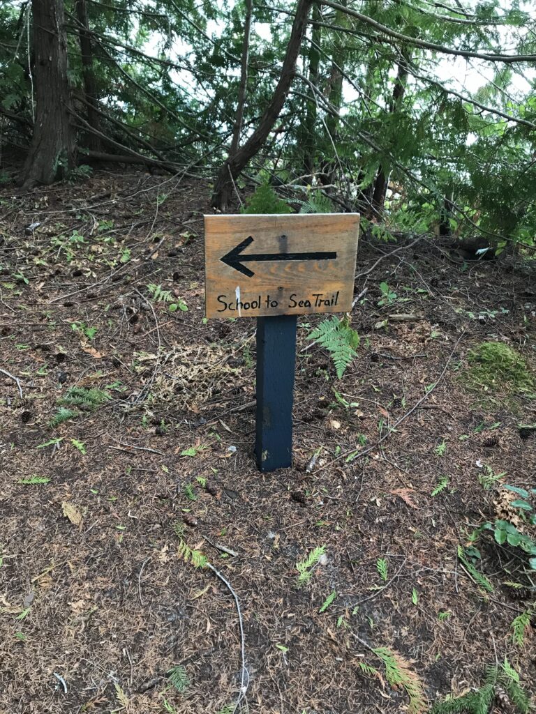
- School-to-Sea Hike in Manson’s Landing: Another short hike that takes you from the school to the sea, offering beautiful views along the way1.
- Battleship Lake Loop via Lake Trail: This moderate 5.1-mile loop takes you around Battleship Lake, offering scenic views of the area2.
- Ruth Masters Lake via Augerpoint Trail: This trail leads to Ruth Masters Lake and is a great option for those looking for a longer hike2.
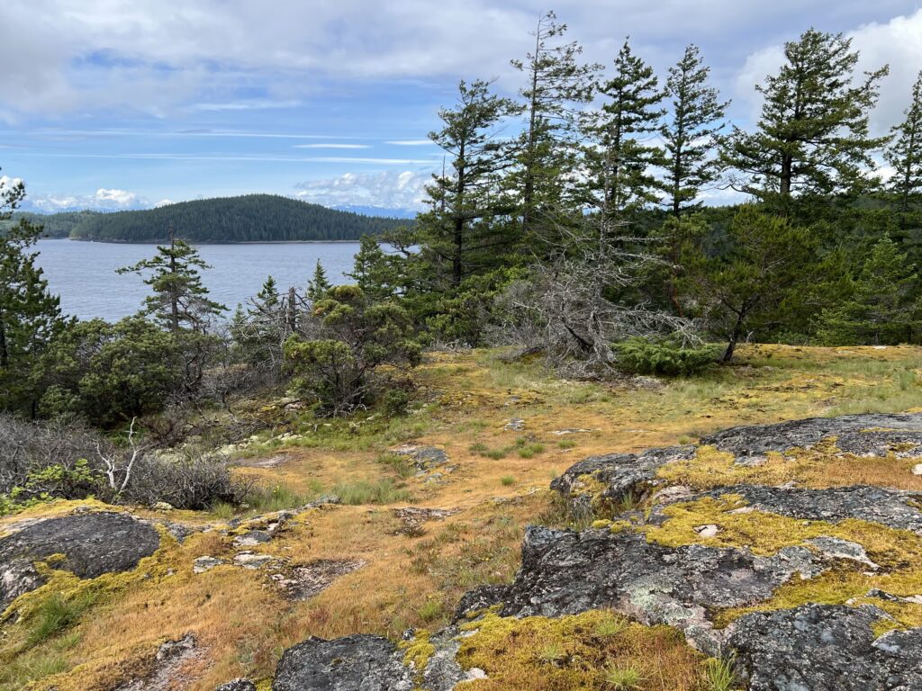
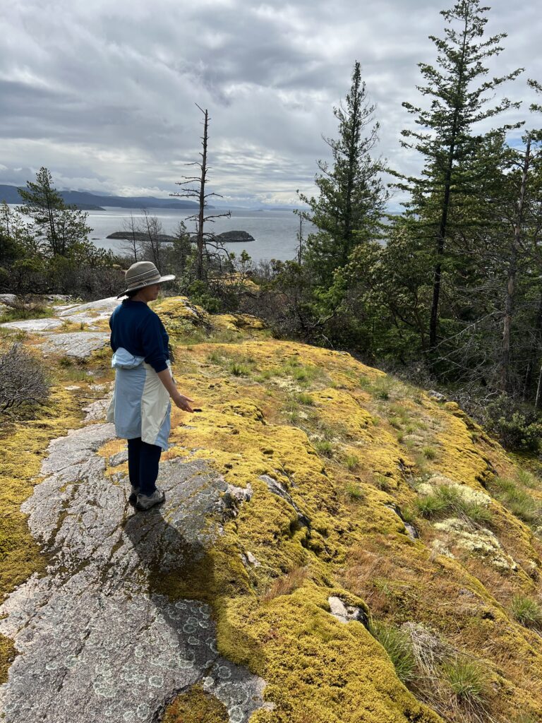
- Green Mountain in Kw’as Park: Kw’as Park is home to more than 170 acres of hiking trails through old-growth cedar, spruce groves, and bluffs with stunning views6.


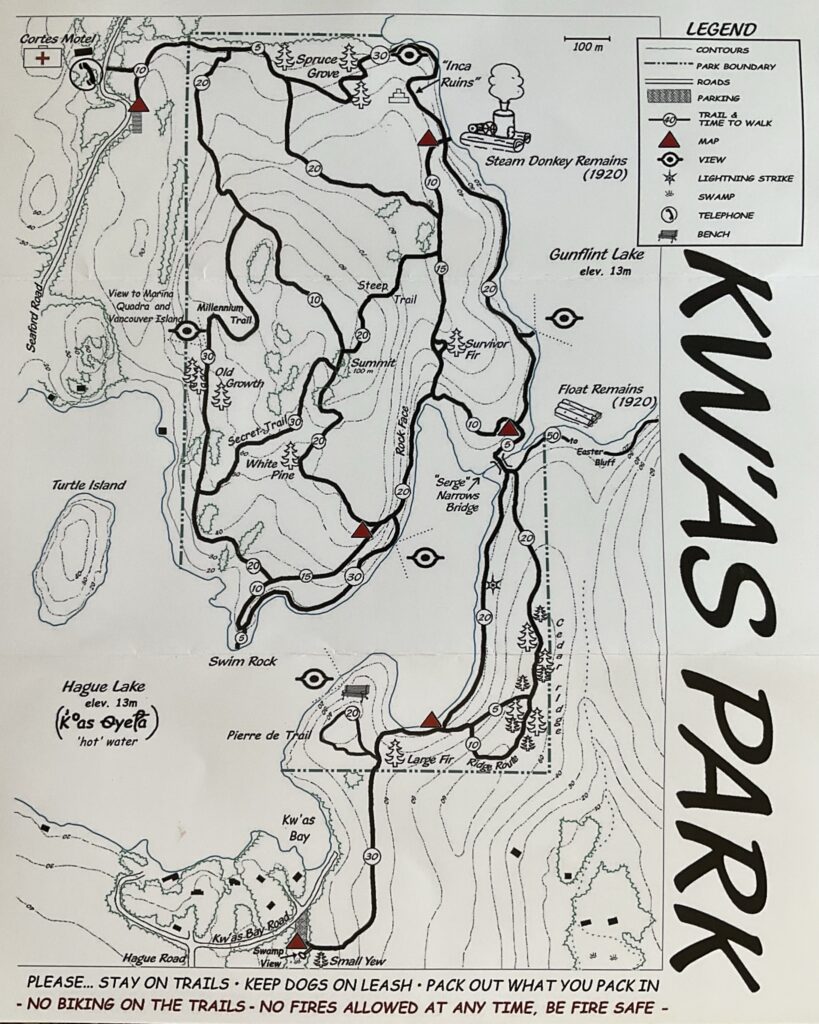
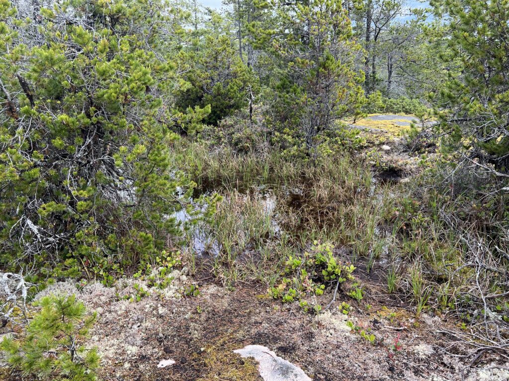
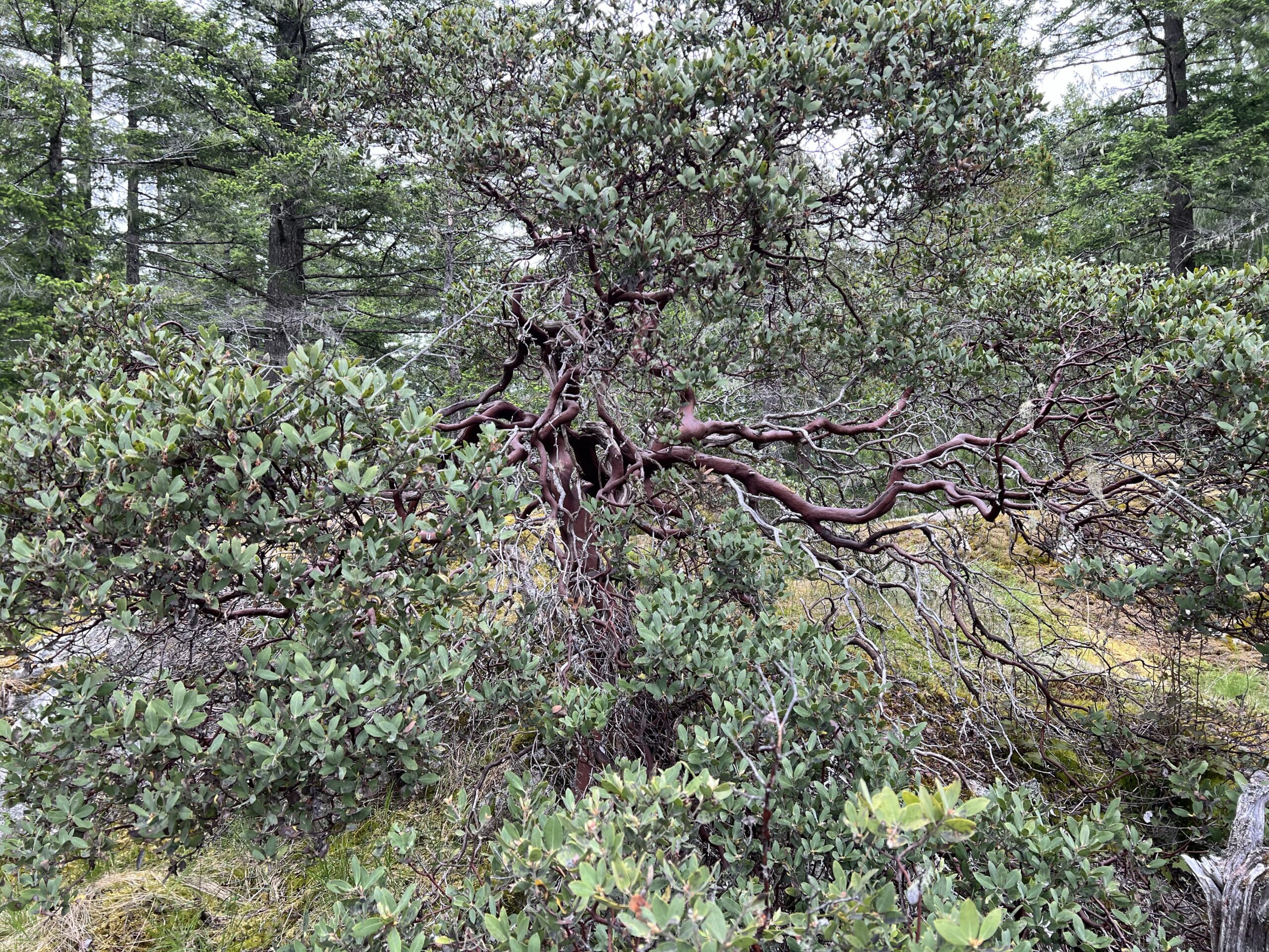
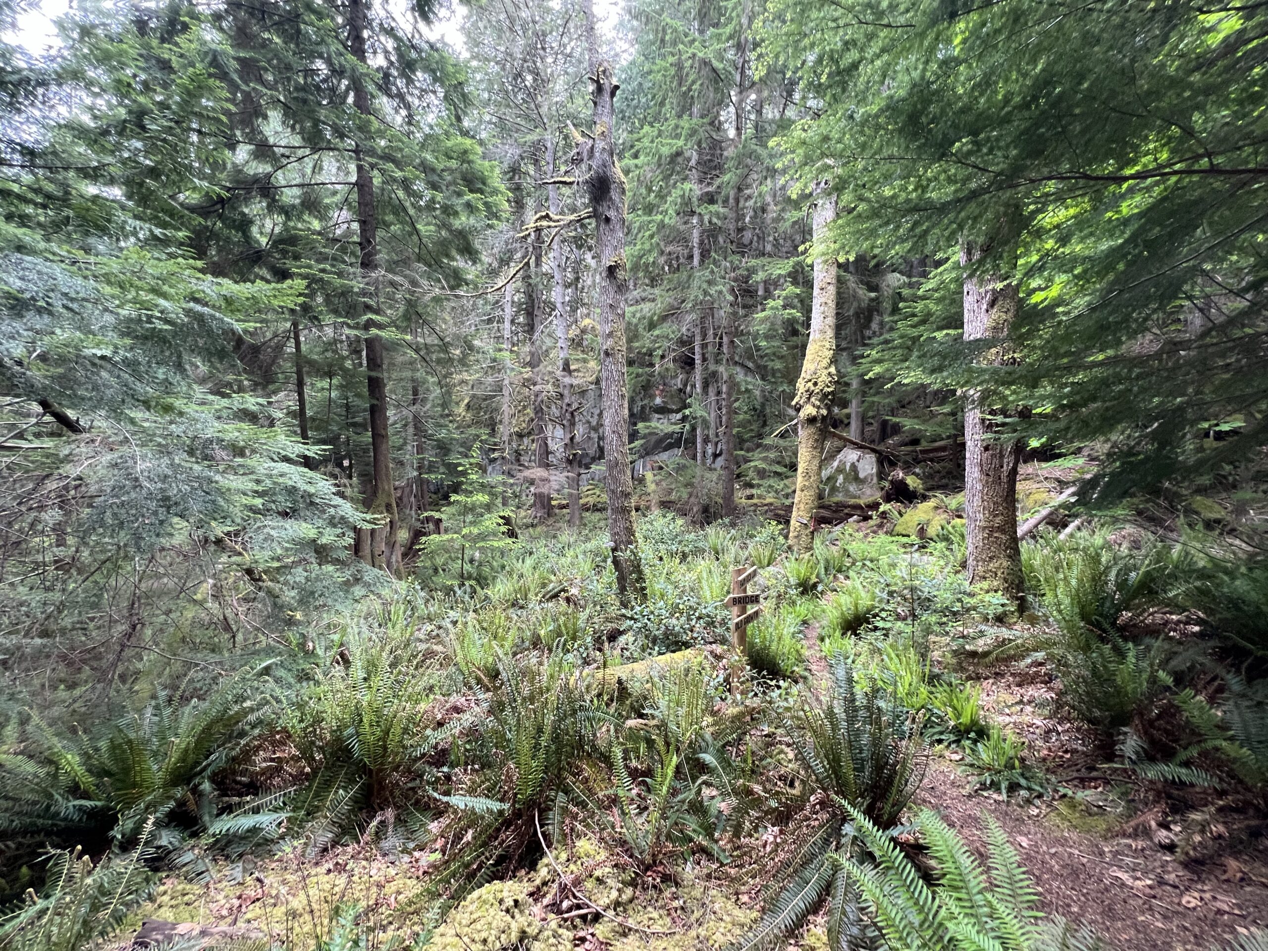
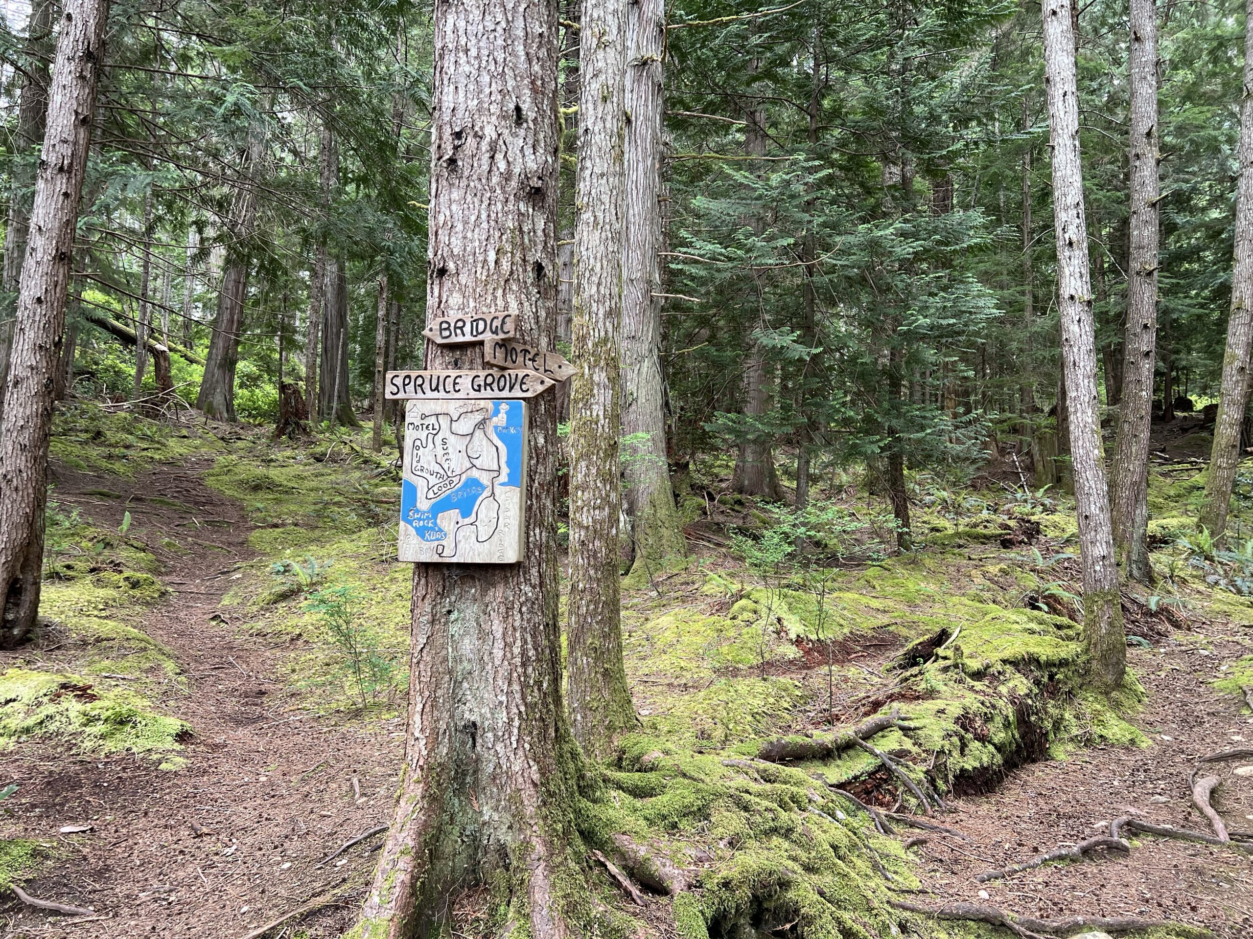
Kwas Park trails (pronounced ‘koass’) are located in a 70 hectare (173 acre) forested area between Hague and Gunflint Lakes on Cortes Island. The trails pass through an astounding variety of ecosystems including a wet spruce grove, a ridge with large red cedars, a valley with tall alders alders, and high open bluffs with pine, arbutus and manzanita. As much as 20% of the park is still virgin old growth and the rest is mature second growth forest. The Millennium Old Growth Trail and the Secret Trail meander through virgin forests with stands of large old growth Douglas firs.
To reach the north entrance to the trails, park at the s-curve just beyond the Cortes Motel. To access the south portion, park at the parking lot off Kw’as Bay Rd. Allow 1.5 hours for the south loop and 2 hours for the north loop. The trails (12 km) are well marked and maps are posted conveniently throughout the park.
K°as Dyeta is the Coast Salish name for Hague Lake, and means hot water (lake). This is very appropriate as Hague Lake is flat-bottomed and shallow (35-50 ft) and warms up quickly in the summer and freezes before the deeper Gunflint Lake (70-80 ft) in a cold spell. Hague and Gunflint lakes are inhabited by an ancient strain of coastal cutthroat trout -landlocked some 10,000 years ago. These fish are unusually healthy and unique in that they spawn in the late fall.
Strathcona Regional District Cortez treasure
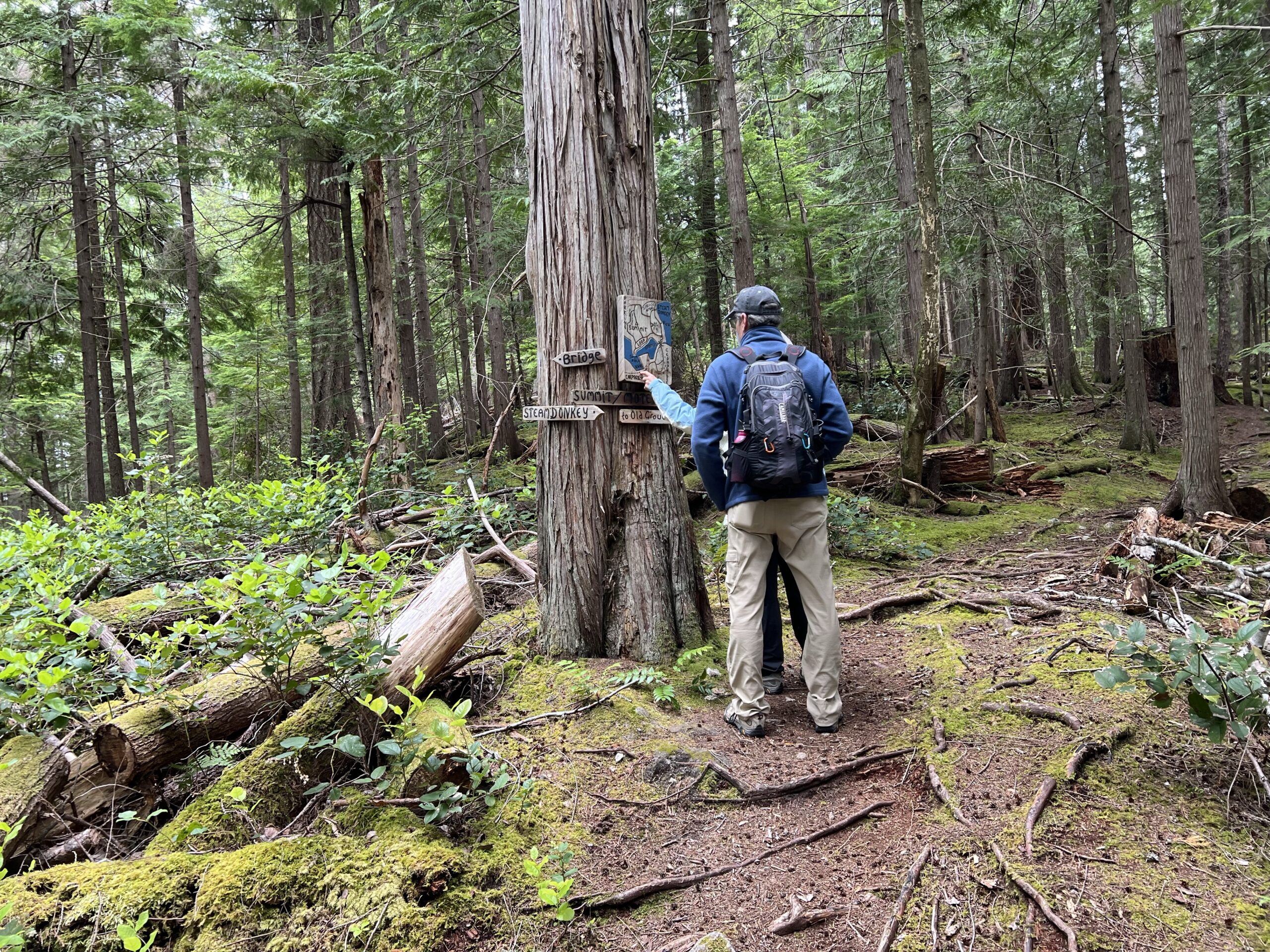
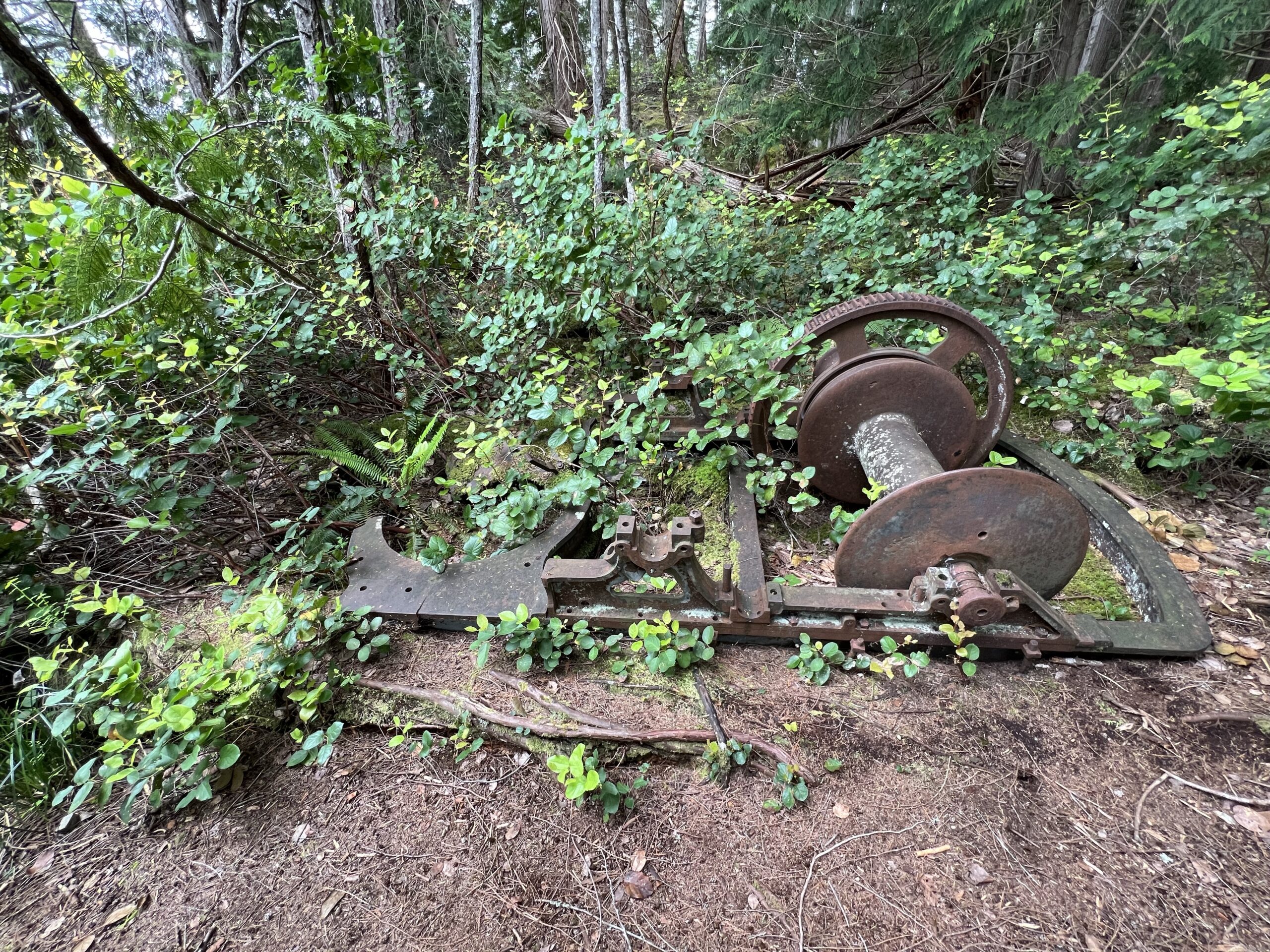
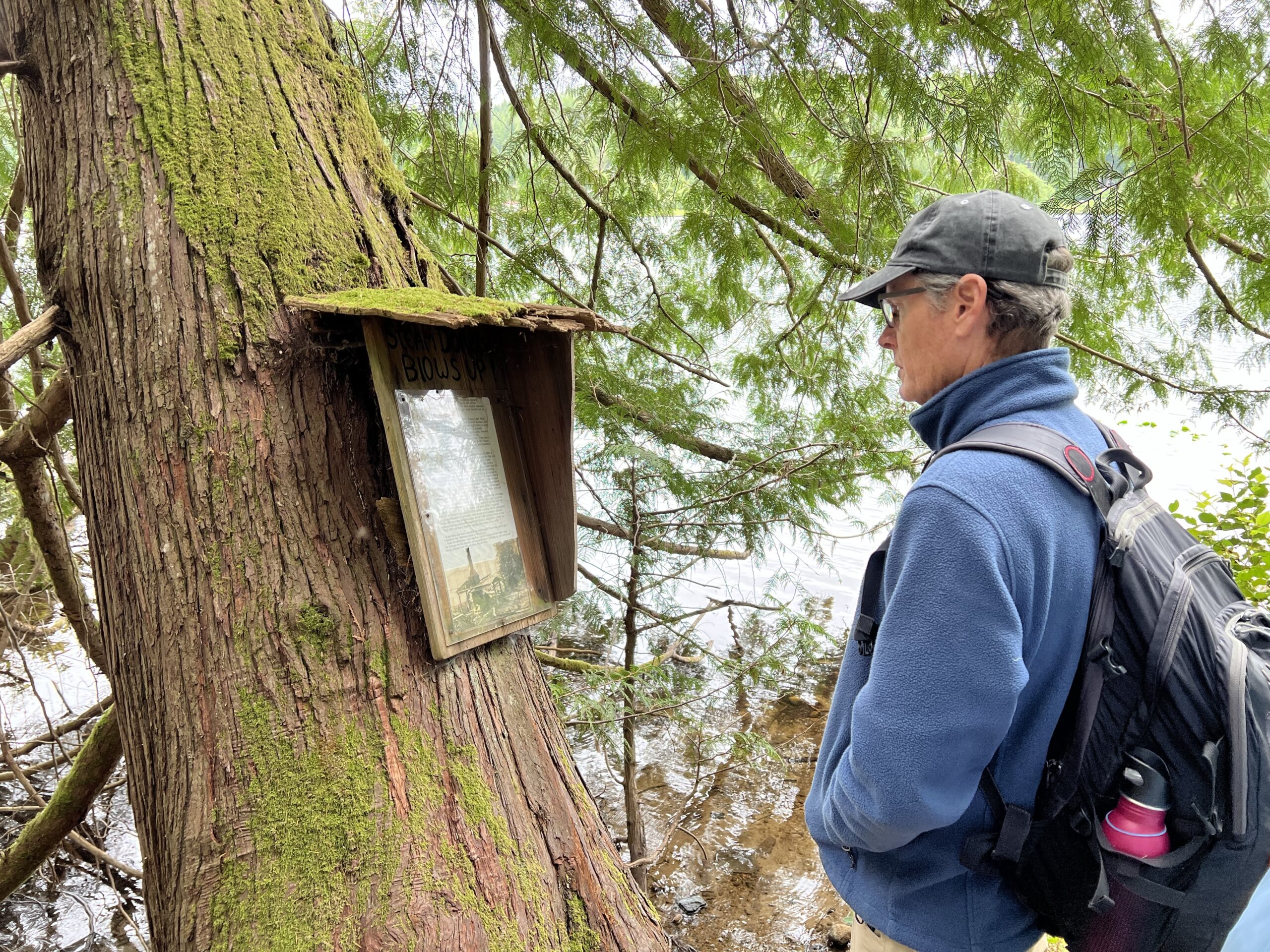
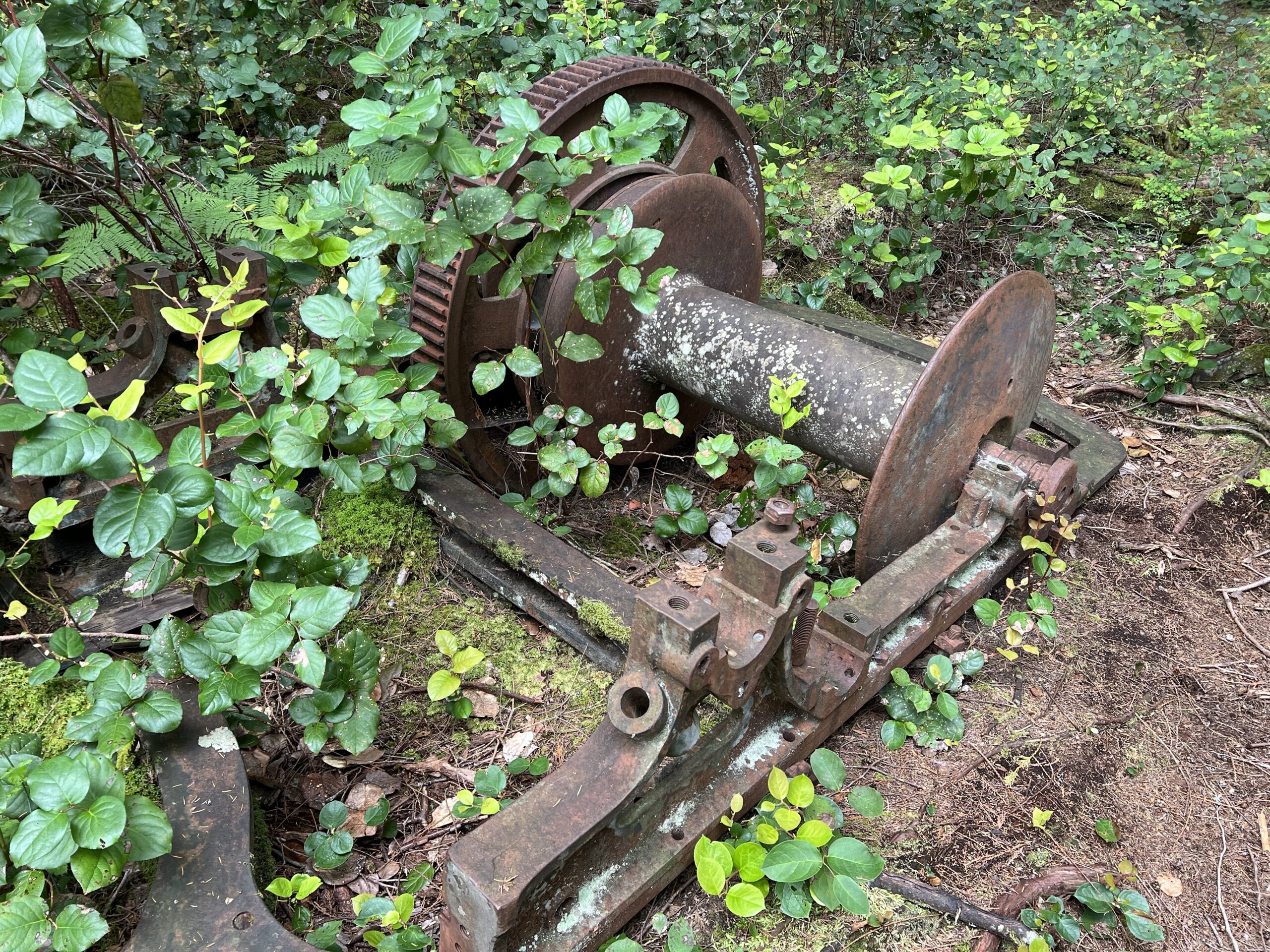

What you above are the remains of an old steam donkey similar to many more operating everywhere in BC at the beginning of the century. These machines were called ‘donkeys’ in memory of the previous times, when logs were hauled out of the woods by oxen and horses.
In the twenties, the east side of the present Hague Lake Park was logged.. A wood fired steam donkey was floated across Little Hague Lake (now Gunfint Lake) and operated ht here to hall the logs down to the lake. These were then mechanically dragged through the narrow channel into Hague Lake, boomed and floated to the very north end of the lake-to the Outlet’—the creek draining this whole watershed. They were then yarded with another ‘donkey’ down a ‘Fore & Aft’ chute from the top of the waterfall to Manson’s Lagoon and boomed there to continue their journey to the saw mills.
The logging company at the time of the explosion was OLSEN & MUNDIGAL. The explosion happened one morning-in the late fall of 1923-between 10 & 11 am. Besides accounts of a frozen steam gauge that hadn’t been drained the previous day, Harry Middleton, who had a machine shop at Squirrel Cove, said that the engineer-Harry Hazel-had come to him during the preceding days asking for advice, and for a caulking tool to repair a leak in the boiler. What really happened is conjecture at this point; but if the boiler had lost enough water because of a leak, it could have overheated dramatically causing an explosive expansion of steam the instant the water hit the red hot metal…
Neither a damaged steam gauge nor a boiler leak could be verified-as many parts of the boiler were blown into the middle of Gunflint Lake…
Harry Hazel was severely scalded and brought to the big old lodge at Manson’s Landing. A doctor was brought in by water taxi from Campbell River but unfortunately his hypodermic syringe did not work so he could do little to relieve the poor fellow’s agony.
The Union Steamship called in that same evening on its scheduled way southbound to Vancouver and the patient was put aboard. Soon after leaving he died close to the reef at Sutil Point so the ship turned around and brought him back to Manson’s wharf as They did not carry bodies unless they were in a coffin”.
- A sad little side story was that the unfortunate fellow was due to go to Vancouver the following week to be married.
- Ernie Bartholomew-who lived on Cortes Island until he died-was the fireman for the donkey and escaped injury because he was out in the woods getting bark for refueling the fire box…
These are just a few examples of the hiking trails available on Cortes Island. The island’s diverse landscapes and natural beauty make it a great destination for outdoor enthusiasts.
What are the best locations for shellfishing on Cortes Island
Cortes Island is known for its abundant shellfish and offers several locations for shellfishing. Here are some of the best locations for shellfishing on Cortes Island:
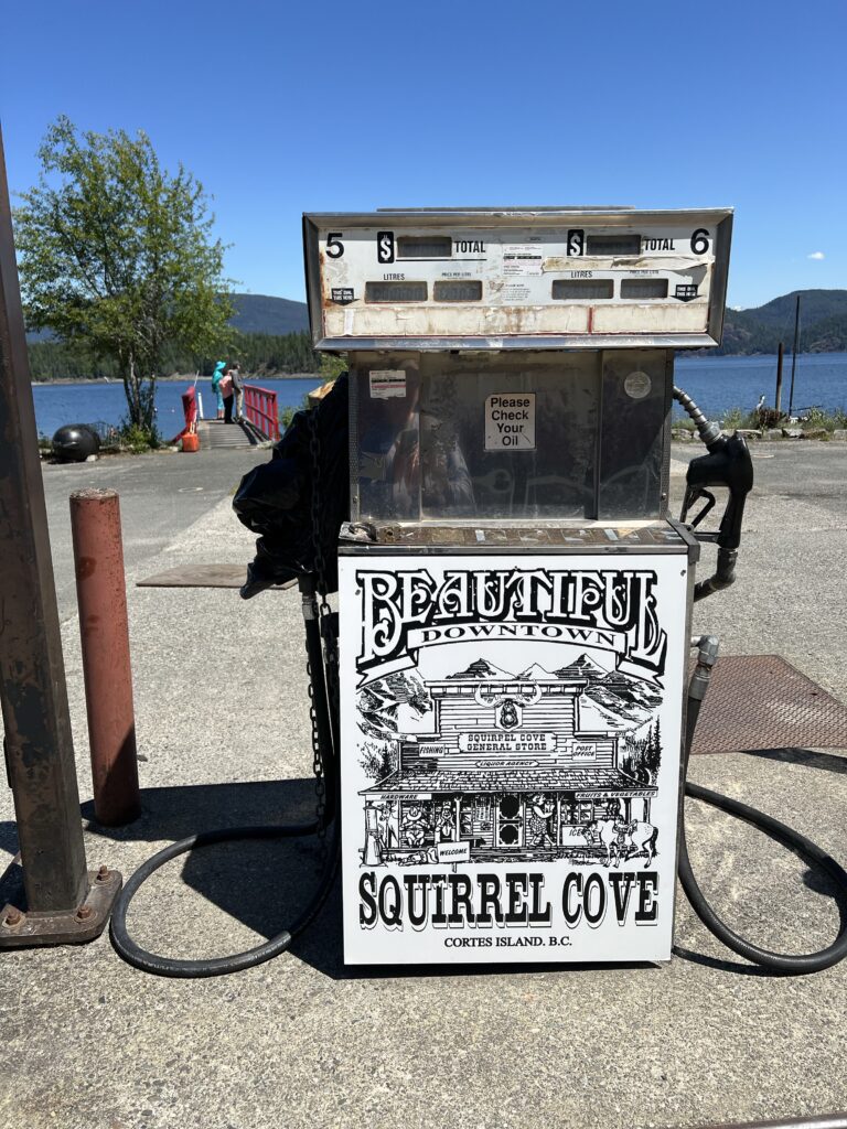
- Manson’s Landing Provincial Park: Manson’s Landing Provincial Park is the most accessible location for shellfishing on Cortes Island. Shellfish may be legally collected here and at Smelt Bay, Squirrel Cove, and the beach south of the government wharf in Gorge Harbour1.
- Baynes Sound: Baynes Sound is located in the southern third of Vancouver Island and is known for its rich waters where shellfish like oysters and clams are grown2.
- Cortes Island Oyster Farm: Cortes Island Oyster Farm is located at the northern end of the Strait of Georgia and is one of British Columbia’s most northerly oyster growing locations5.
- Existing Shellfish Aquaculture Sites: There are many existing shellfish aquaculture sites on Cortes Island, primarily for oysters on beaches and on rafts, but also clams, mussels, and some scallop culture4.
It is important to note that harvesting opportunities and closures change often throughout the year, and eating contaminated shellfish can be life-threatening1. Therefore, it is recommended to check with local authorities before shellfishing on Cortes Island.
Shellfishing is a popular activity on Cortes Island, but it is important to follow regulations to ensure safety and sustainability. Here are some regulations for shellfishing on Cortes Island:
Manson’s Landing Provincial Park is the most accessible location for shellfishing on Cortes Island, and shellfish may be legally collected here..
and at Smelt Bay, Squirrel Cove, and the beach south of the government wharf in Gorge Harbour1.
Two areas are involved, 13 and 15.
Invertebrates that can be harvested on Cortes Island include red and green urchins, octopus, crab, prawn, shrimp, sea cucumbers, and other shellfish such as clams, oysters, scallops, and geoducks2.
It is important to ensure that it is legal and safe to harvest shellfish before heading out to fish. The table below or the real-time bivalve shellfish safety harvesting map can be checked for this purpose3.
There are many existing shellfish aquaculture sites on Cortes Island, primarily for oysters on beaches and on rafts, but also clams, mussels, and some scallop culture4.
Cortes Island Shellfish Growers Co-op holds an annual general meeting to discuss shellfish farming on the island5.
It is important to follow these regulations to ensure the safety and sustainability of shellfishing on Cortes Island.
To obtain a shellfishing license for Cortes Island, you need to purchase a British Columbia Sport Fishing License1. This license is necessary to harvest shellfish in tidal waters, subject to legal limits. You can purchase a license online or at authorized vendors1.
It is important to note that there are limits to the amount, size, and species of shellfish you can harvest, and there may be closures due to contamination45. Therefore, it is recommended to check for contamination in the subarea where you plan to harvest and ensure that it is legal and safe to harvest shellfish before heading out to fish56.
Cortes Island Shellfish Growers Co-op holds an annual general meeting to discuss shellfish farming on the island2.
A tidal water license is required for harvesting shellfish in Cortes Island’s tidal waters, subject to legal limits12.The cost of a tidal water license for harvesting shellfish on Cortes Island varies depending on the duration and age of the fisher or harvester. The following are the fees for the 2023/2024 season4:
- Annual Adult (16-64 years): $22.59 for residents, $108.64 for non-residents
- Annual Senior (65 years old and older): $11.83 for residents, $108.64 for non-residents
- Annual Juvenile (under 16 years old): Free
- 5-day license for 16 years old and older: $17.21 for residents, $32.35 for non-residents
- 3-day license for 16 years old and older: $15.00 for residents, $32.35 for non-residents
It is important to note that there are limits to the amount, size, and species of shellfish you can harvest, and there may be closures due to contamination35.
Therefore, it is recommended to check for contamination in the subarea where you plan to harvest and ensure that it is legal and safe to harvest shellfish before heading out to fish356.
Are there any festivals on Cortez Island and when do they take place?
Cortes Island hosts several festivals throughout the year. Here are some of the festivals on Cortes Island and when they typically take place:
- Cortes Island Music Festival: The Cortes Island Music Festival is an annual non-profit event that showcases a wide variety of music genres. It is a two-day outdoor festival organized by members of the community1. The exact dates may vary, so it is recommended to check the official website or local sources for the most up-to-date information.
- Lovefest: Lovefest is an annual festival held on Cortes Island that features live music performances. The festival typically takes place in July and includes a lineup of local and visiting artists3.
- Cortes Day: Cortes Day is a complete celebration of Cortes Island and is held on a Saturday in July at Smelt Bay Provincial Park. The day starts with a parade and includes various activities, live music, food, and more6.
It is important to note that festival dates and details may change from year to year, so it is recommended to check the official websites or local sources for the most accurate and up-to-date information about specific festivals on Cortes Island.
Cortes Island hosts several festivals throughout the year. In addition to the Cortes Island Music Festival and Cortes Day, there are other festivals that take place on the island. Here are some of the other festivals on Cortes Island:
- Lovefest: Lovefest is an annual festival that features live music performances. It typically takes place in July and includes a lineup of local and visiting artists6.
- Sandcastle Day: Sandcastle Day is an annual event where participants create impressive sand sculptures on the beach. It is a fun and creative day for the whole family4.
- Seafest: Seafest is an annual event that celebrates the island’s maritime heritage. It includes activities such as boat races, seafood tastings, live music, and more4.
- Old Schoolhouse Gallery Events: The Old Schoolhouse Gallery hosts various events throughout the year, including art exhibitions, workshops, and performances4.
These are just a few examples of the festivals and events that take place on Cortes Island. The dates and details of these festivals may vary from year to year, so it is recommended to check the official websites or local sources for the most up-to-date information.
Cortes Island is a great destination for boaters, hikers, skiers, fishermen, and musicians1. The island is situated in the Discovery Islands, 150km north of Vancouver2.
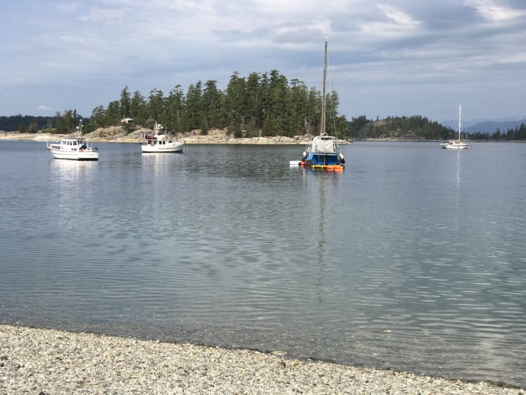
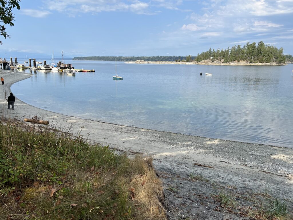
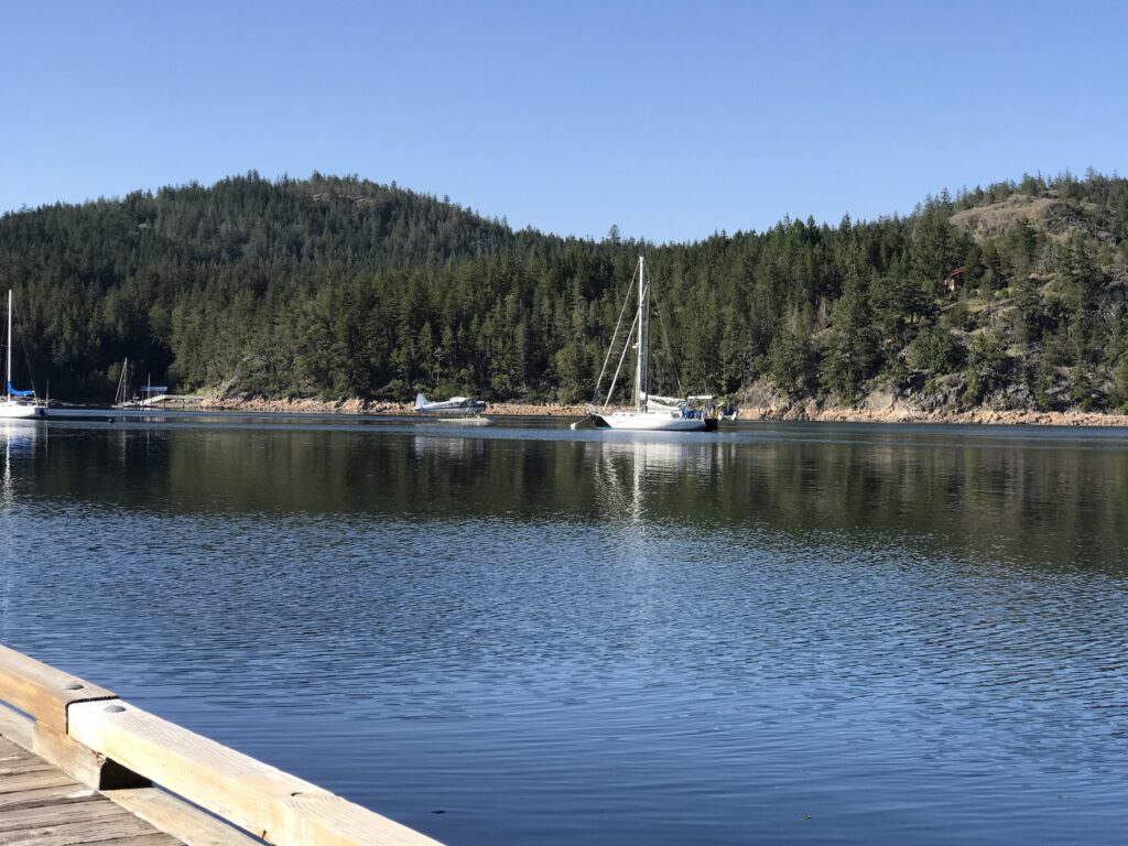
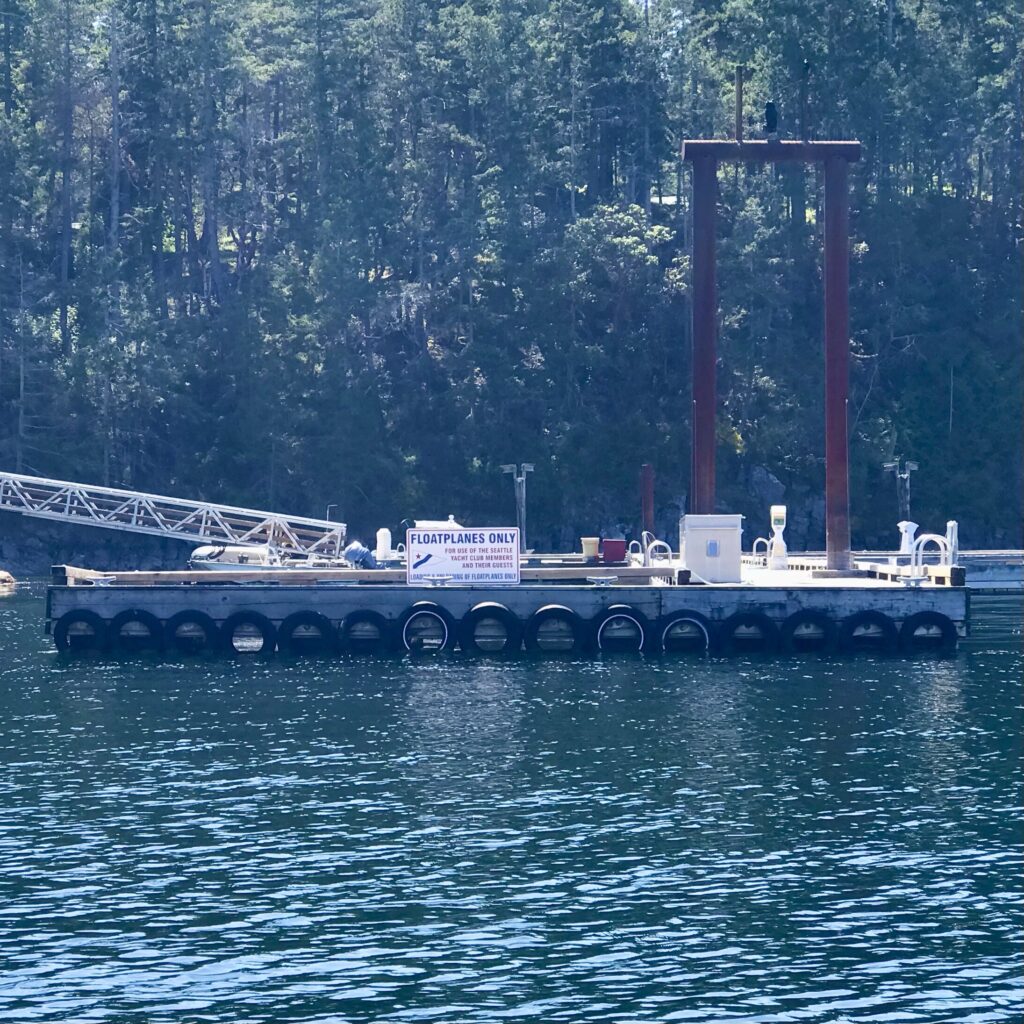
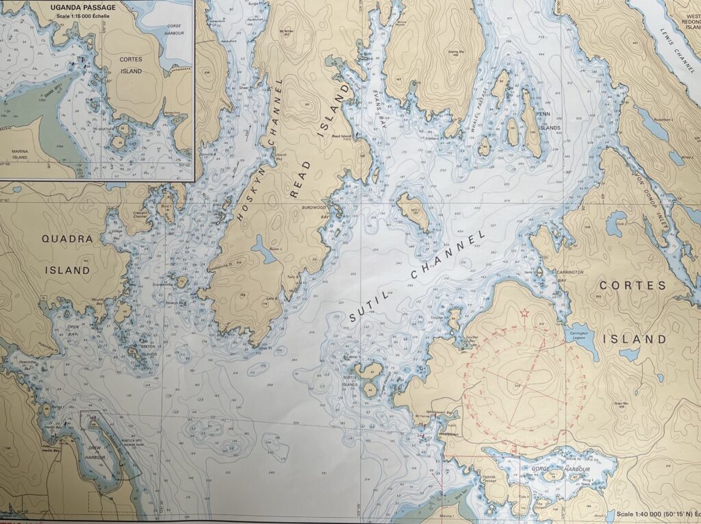
Cortes Bay on the southeast side of the island is a sheltered anchorage with a public dock at the head ofthe bay. The end of the dock is reserved for seaplanes that run daily shuttles to Vancouver, Campbell River, and Seattle throughout the summer. Kayaks andtrailered boats can be launched at the Blind Creek boat ramp to the northwest of the public dock1. Cortes Bay is also home to outstations for both the Seattle and Vancouver Yacht Clubs15.
It is possible to take an excursion boat to Desolation Sound from Cortes Bay3. The Island and bay werenamed after Hernán Cortés, the Spanish conquistador who conquered the Aztec Empire in Mexico3. The island has a rich history, including First Nations settlements, logging, and fishing industries3. Today, the island is known for its artistic community, organic farming, andecotourism3.
The Discovery Islands region of British Columbia is a group of islands located at the northern end of the Salish Sea and the eastern end of Johnstone Strait, between Vancouver Island and the mainland coast of British Columbia, Canada3. Here are some key points about the Discovery Islands:
- The Discovery Islands are known for their stunning natural beauty, with endless ocean views, lush forests, and picturesque beaches6.
- The archipelago is part of the Inside Passage, a popular route for boaters and kayakers exploring the coastal waters of British Columbia2.
- The major islands within the Discovery Islands include Quadra Island, Cortes Island, Hardwicke Island, West Thurlow Island, and East Thurlow Island3.
- The region offers a range of outdoor activities such as kayaking, hiking, scuba diving, salmon fishing, and wildlife watching, including orca sightings6.
- The Discovery Islands are a haven for anyone with a boat, with numerous islands, marine parks, and beautiful views to explore1.
- The islands are known for their relatively drier climate compared to other parts of the British Columbia coastline, making them an attractive destination for outdoor adventures6.
Overall, the Discovery Islands region offers a unique and untamed experience for those seeking to explore the natural wonders of British Columbia’s coastal waters and islands.
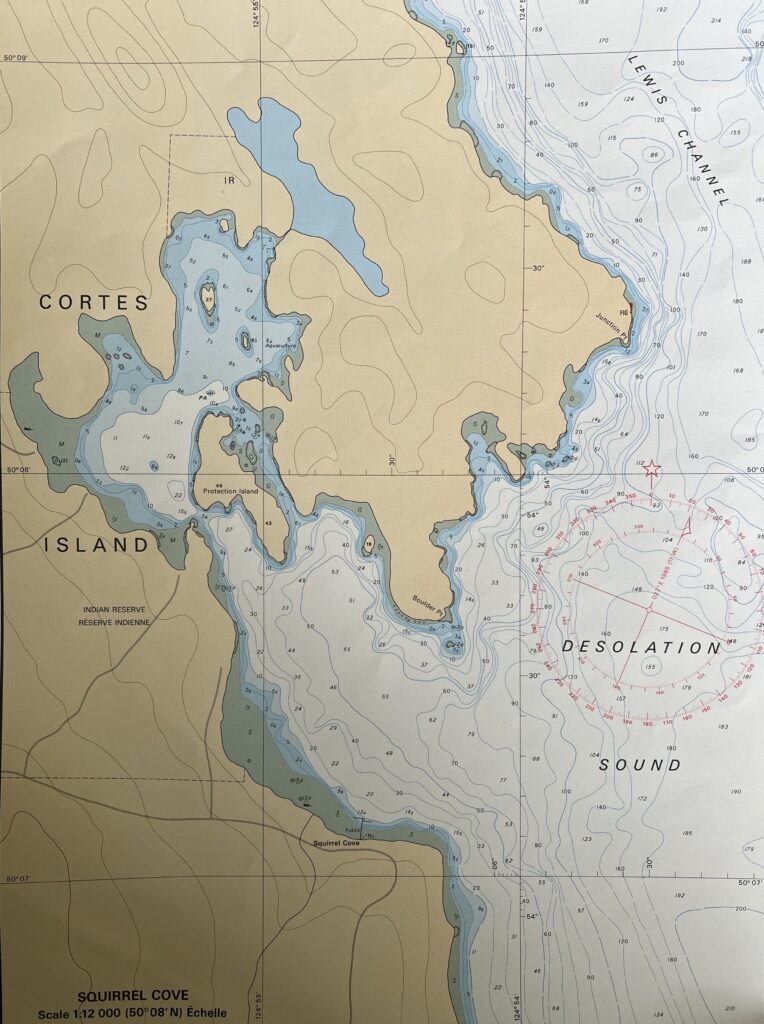
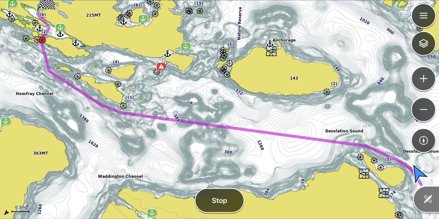
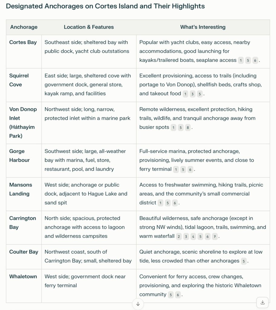
Cortes Island Anchorages
- https://ourcortes.com/activities/boating-2/
- http://www.friendsofcortes.org/wp-content/uploads/2017/03/Carrington_pamphlet.pdf
- https://desolationsoundyachtcharters.com/cruising-notes/desolation-sound/
- http://svcambria.blogspot.com/2015/01/carrington-bay-strictly-cortes.html
- https://48north.com/cruising/cruising-destinations/destinations-circumnavigating-cortes-island/
- https://vancouverisland.com/plan-your-trip/regions-and-towns/vancouver-island-bc-islands/cortes-island/
- https://www.yachtingmonthly.com/cruising-guides/sailing-charter-in-desolation-sound-29968
- https://ourcortes.com/our-island/parks/hathayim-von-donop-marine-provincial-park/
Summary of Anchorages on Cortes Island
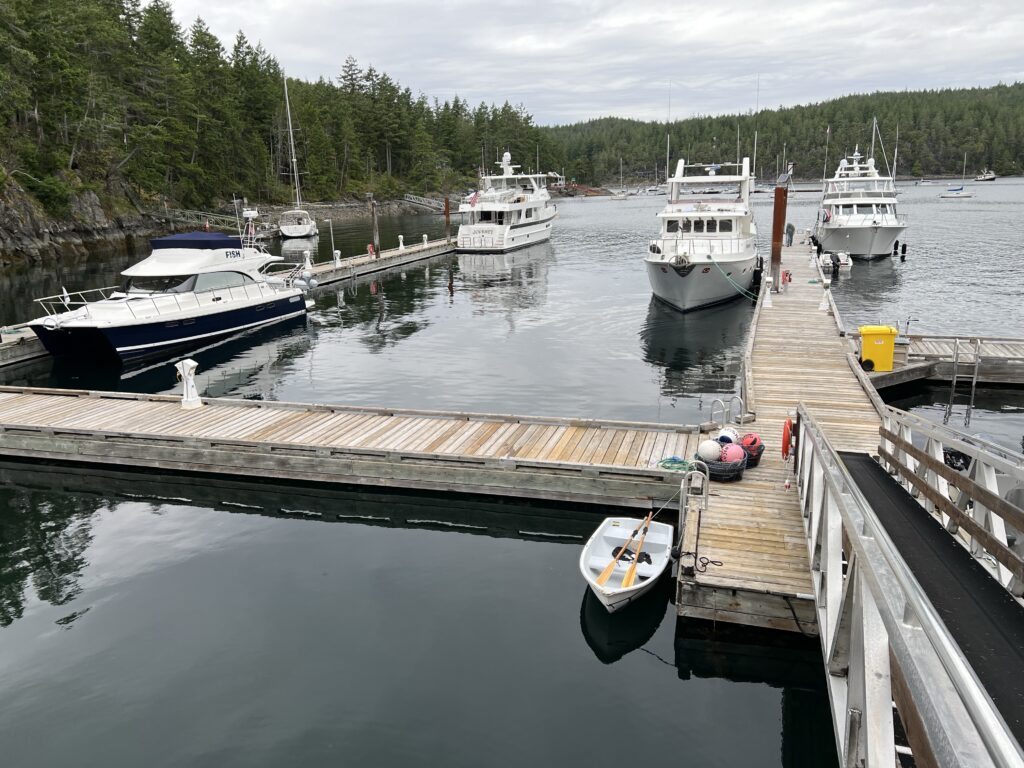
- Cortes Bay: Yacht club outstations, public dock, and seaplane access.
- Squirrel Cove: Top spot for supplies, easy portage to Von Donop, and community amenities.
- Von Donop Inlet: Pristine wilderness, hiking, and solitude.
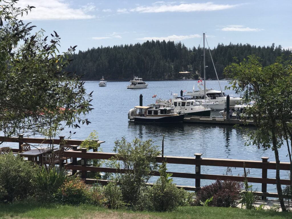
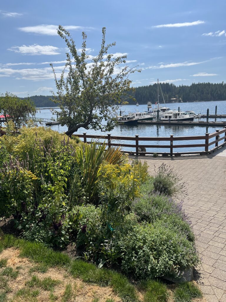
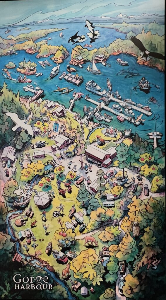
- Gorge Harbour: Marina services, summer events, and easy access to the rest of the island.
- Mansons Landing: Nature access, swimming in Hague Lake, and proximity to island services.
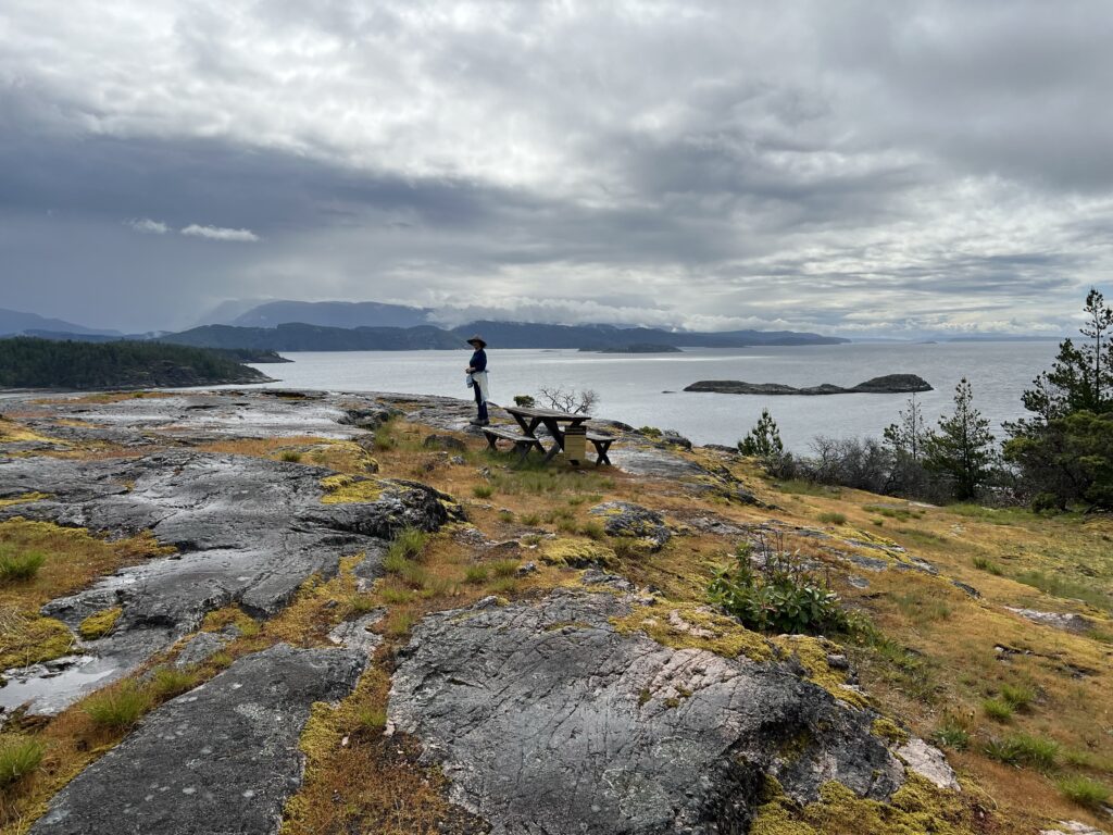
- Carrington Bay: Tidal lagoon, warm waterfall, hiking, and wilderness camping.
- Coulter Bay: Quiet, scenic, and good for exploring at low tide.
- Whaletown: Ferry terminal, convenient for logistics and visiting the local community.
These anchorages offer a mix of services, natural beauty, and recreational opportunities, making Cortes Island a versatile destination for boaters and hikers alike.
Cortez Island History
Cortes Island has a rich history of human habitation spanning thousands of years:
The Coast Salish peoples, including the Klahoose First Nation, have lived on and used Cortes Island for at least 8,000 years. They traditionally used areas like Squirrel Cove as summer settlements for harvesting shellfish, berries, and tending gardens before returning to winter villages.
European settlement began in the late 19th century. Michael Manson was the first white settler, arriving in 1866.

More settlers came in the 1890s, establishing communities and engaging in farming and logging[5]. These early pioneers lived on the island year-round, sustaining themselves through agriculture, fishing, and logging.

The island’s population fluctuated over time. It peaked in the 1920s but declined due to isolation and economic challenges. Population growth resumed after ferry service began in 1969 and electricity arrived in 1970.


Today, Cortes Island has about 1,035 permanent residents. The community includes descendants of early settlers and newer arrivals seeking a more independent lifestyle.
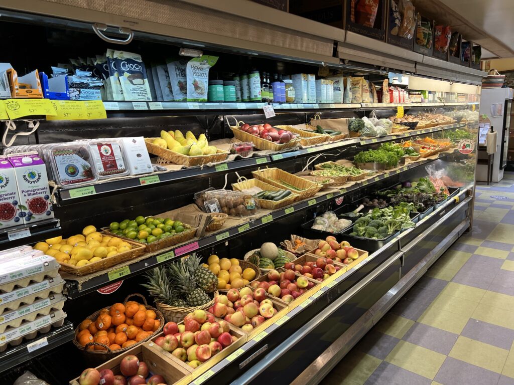
The prevalence of organic produce on Cortes Island today likely stems from the island’s history of self-sufficiency and its attraction to those interested in sustainable living. The island’s relative isolation and strong community ethos have fostered a culture of local food production and environmental stewardship.
In the late 19th century, the main industries on Cortes Island were:
- Whaling: A whaling station was established in 1869 at present-day Whaletown. However, this industry was short-lived, lasting only about two years due to the rapid depletion of the whale population.
- Trading: Michael Manson, the first settler who arrived in 1886, established a trading post at what is now called Manson’s Landing. He traded provisions from Nanaimo for dogfish oil, which he then sold to Nanaimo coal mines for lubrication.
- Logging: Early settlers engaged in logging, which became an important industry on the island.
- Fishing: Along with logging, fishing was established as one of the primary industries by early settlers.
- Agriculture: Sheep raising and fruit growing were also important industries that developed on Cortes Island during this period.
- Maritime services: Michael Manson operated a steam tug that provided freight and passenger services to logging camps in the area, contributing to the island’s economy
These industries formed the economic foundation of Cortes Island in its early days of European settlement, shaping the island’s development and community.
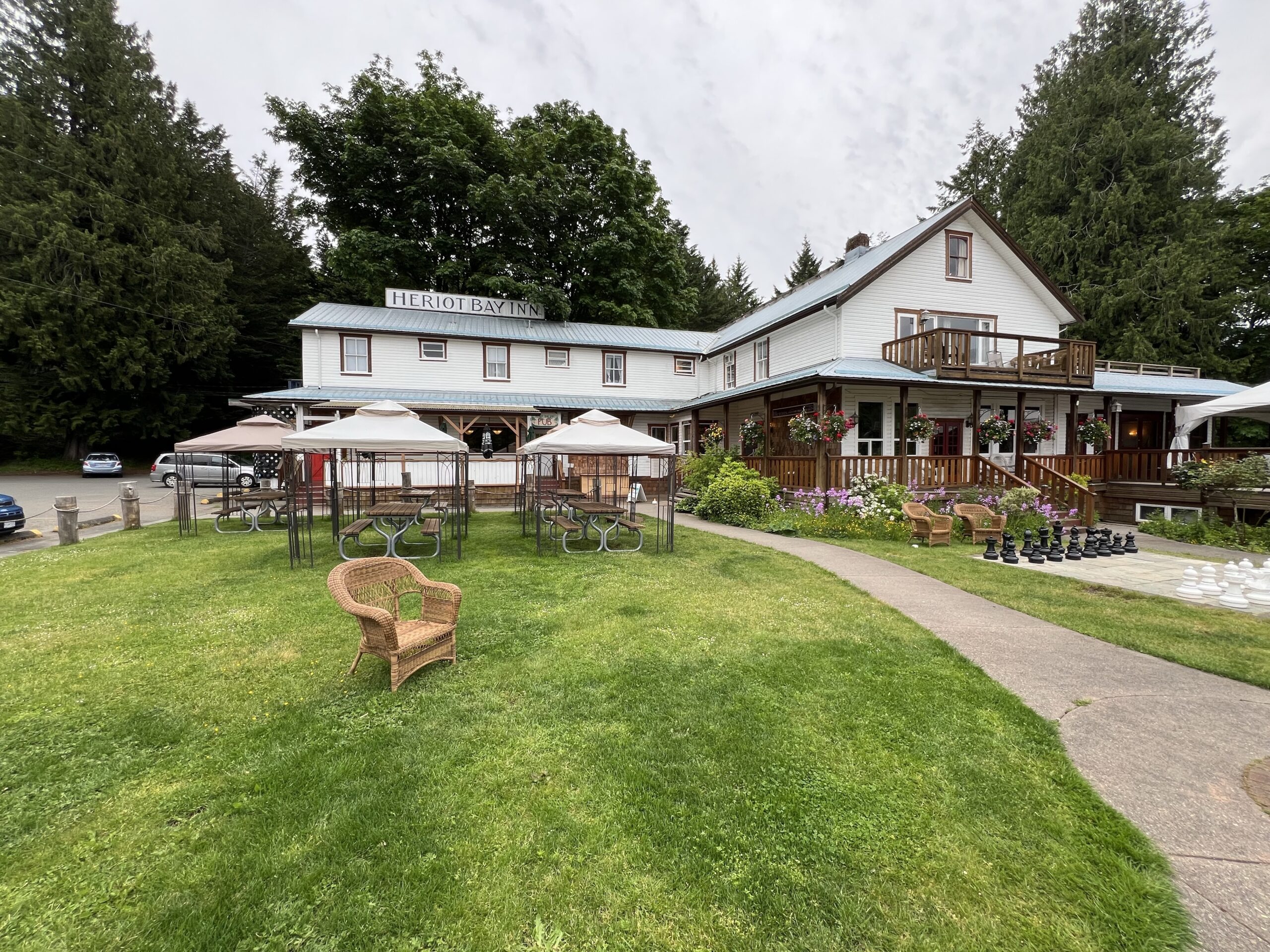
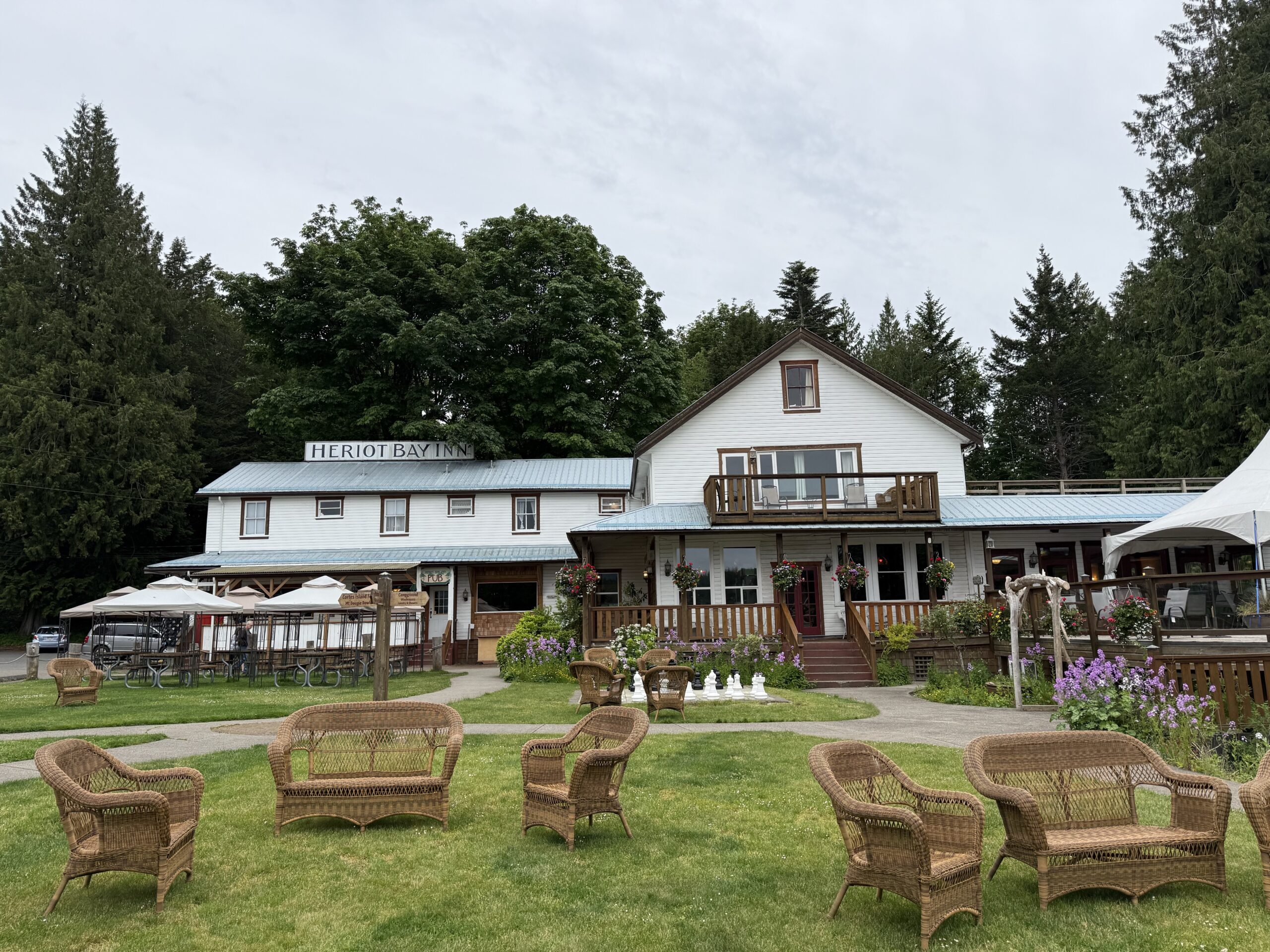
Highlights of Heriot Bay Inn on Quadra Island
- The Heriot Bay Inn is a historic, oceanfront inn featuring cozy European-style rooms, ocean-view cabins, a marina, and a lively atmosphere with live music, events, and arts workshops.
- It’s known as the social heart of Quadra Island, hosting weekly bands, karaoke, open mic nights, and special dinner events.
- The property includes a gift shop, campground, and offers beautiful seaside views.
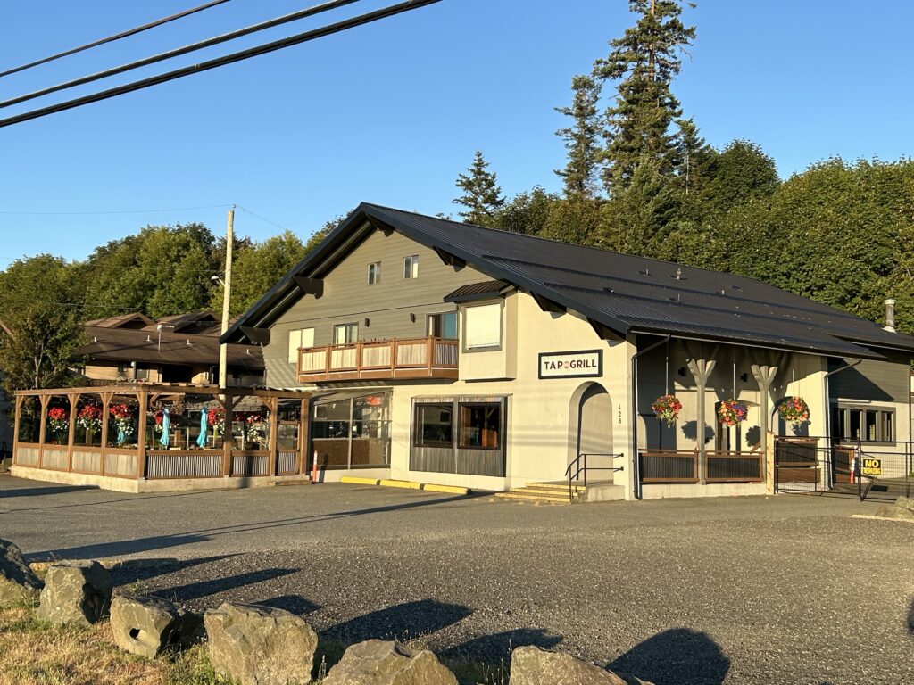
restaurant and bar.
- there are two main dining options:
- Herons Dining Room: Offers elevated west coast cuisine with local ingredients, fireside lounge, and a deck with spectacular bay views. Open for breakfast, lunch, and dinner, and available for private events.
- HBI Pub: Open year-round, serving classic pub fare, local beers, cocktails, and featuring regular live music and entertainment.
Until an entrepreneur opens a restaurant or pub on Cortez Island, the Harriet Inn is your only option for dining out.
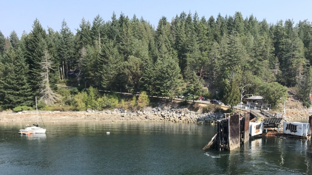
you visit by ferry from Cortes Island.
- BC Ferries operates a regular service between Whaletown (Cortes Island) and Heriot Bay (Quadra Island), with up to seven round trips per day in summer.
- The ferry crossing takes about 45 minutes.
It is best to leave your car on Cortez and walk on so you are not delayed returning. The ferry handles only 26 cars.
Do you need reservations?
- Reservations are recommended for dining at Herons, especially for dinner and during busy periods.
- Accommodation reservations are also advisable, particularly in peak season or if you want to book a specific room or cabin.
- For the ferry, reservations are not required for the Quadra–Cortes route, but checking schedules is advised as sailings can fill up in summer.
Seaweed Gathering on Cortes Island: Practices and Motivations
Do residents of Cortes Island gather seaweed in the spring?
Yes, residents of Cortes Island, particularly through the Klahoose First Nation and local aquaculture initiatives, gather seaweed in the spring. The main species harvested is kelp, and the primary harvest occurs in April, following a typical six-month winter growing season[6][5][1]. The process involves reeling out long kelp lines from the ocean, rinsing, cutting, and packing the seaweed for transport and processing[6][1].
Why do they gather seaweed?
There are several reasons for seaweed gathering on Cortes Island:
- Economic Diversification and Job Creation: Seaweed farming provides new income streams and employment opportunities for the Klahoose community and other local residents, especially as an addition to existing shellfish aquaculture[2][4][6].
- Environmental Benefits: Seaweed cultivation is seen as a sustainable practice that supports ecosystem health. Kelp absorbs nutrients from the water, helps balance pH, and can protect shellfish from increasingly acidic oceans due to climate change[6][2][5].
- Food and Nutrition: Seaweed is a nutritious, plant-based food source. There is growing interest in developing seaweed as a local specialty food item, reducing reliance on imported products[5][6].
- Cultural and Traditional Roots: For First Nations communities like the Klahoose, seaweed harvesting aligns with traditional practices and a long-standing commitment to sustainable resource use[2][4].
Is this a recent behavior?
While the sustainable use and gathering of seaweed have deep roots in First Nations traditions, the commercial-scale farming and organized spring harvests are relatively recent developments on Cortes Island. The Klahoose First Nation began partnering with Cascadia Seaweed and other organizations to cultivate kelp at scale only in the past few years, with the first significant harvests reported in 2021 and 2022[6][1][4]. This marks a shift from traditional wild harvesting to modern aquaculture, driven by economic, environmental, and community development goals.

In summary, while the gathering of seaweed for food and other uses is traditional, the current scale and methods—particularly springtime harvests from cultivated kelp farms—represent a recent and growing practice on Cortes Island, blending Indigenous stewardship with modern innovation[6][2][4].
Sources
[1] Visit to our Seaweed Farm at Cortes Island – Kove Ocean Foods
[2] Coastal First Nations ahead of the curve in cultivating seaweed
[3] Sustainable Wild Seaweed Harvesting – Seaweed Haircuts!
[4] First Nations Seaweed farming – Cortes Currents
[5] Kelp farming as a climate solution on Cortes Island
[6] Coastal First Nation gets a taste of success with seaweed
[7] Hollyhock | Each spring, a breathtaking transformation happens
[8] Is Edible Seaweed in the Salish Sea Safe for Human Consumption
[9] Indigenous Conservation – ArcGIS StoryMaps
[10] [PDF] Cortes Island Coastal Plan – Gov.bc.ca
[11] Fishing, Shellfishing & Seaweed Harvesting – Washington State Parks
[12] [PDF] SEAWEED HARVESTING ON THE EAST COAST OF VANCOUVER
[13] In seaweed, climate capitalists see green – The Breach
Impacts of Sustainable Seaweed Harvesting on the Cortes Island Community
Economic Diversification and Job Creation
Sustainable seaweed harvesting has provided new economic opportunities for the Cortes Island community, particularly for the Klahoose First Nation. By partnering with companies like Cascadia Seaweed, the community has diversified its aquaculture portfolio, creating meaningful local jobs and providing skills training for residents. This diversification is especially valuable because kelp grows quickly (within six months), offering more frequent harvests and income compared to traditional shellfish like geoducks, which take years to mature.
Food Security and Local Nutrition
Seaweed farming supports local food security by producing a highly nutritious, plant-based food source that does not require land, freshwater, or fertilizer. This reduces dependence on imported seaweed products and introduces healthy, sustainable food options to the local diet. Products made from locally grown seaweed are now available at community outlets like the Cortes Co-op, further integrating seaweed into everyday life on the island.
Environmental and Climate Benefits
Sustainable seaweed cultivation offers significant environmental benefits:
- Carbon Sequestration: Kelp absorbs 10 to 20 times more carbon than terrestrial plants, helping mitigate climate change by acting as a carbon sink.
- Habitat and Water Quality: Seaweed farms provide marine habitat and help balance ocean pH, which can enhance the health and productivity of nearby shellfish operations.
- Low Resource Use: Seaweed absorbs nutrients directly from the ocean, requiring no additional land or freshwater and minimizing environmental footprint.
Cultural Revitalization and Traditional Practices
For the Klahoose and other First Nations, seaweed harvesting reconnects the community with traditional marine stewardship and sustainable resource use. This practice honors long-standing Indigenous values of maintaining ecological balance for future generations, blending ancestral knowledge with modern aquaculture techniques.
Community Pride and Engagement
Residents involved in seaweed farming express pride and satisfaction in their work, citing the meaningful employment and positive impact on the community. There is a sense of excitement about being at the forefront of an emerging, sustainable industry and sharing knowledge with other coastal communities.
Considerations and Challenges
While the benefits are substantial, it is important to monitor potential ecological risks associated with larger-scale seaweed farming, such as changes to local marine ecosystems and nutrient dynamics. However, on Cortes Island, current practices emphasize sustainability—using native species, leaving part of the crop unharvested for ecosystem health, and integrating seaweed farming with existing aquaculture in a balanced way.
Summary Table: Community Impacts of Sustainable Seaweed Harvesting on Cortes IslandImpact AreaDescriptionEconomicJob creation, economic diversification, local business growthFood SecurityNutritious, local food source; less reliance on importsEnvironmentalCarbon sequestration, improved water quality, marine habitat creationCulturalRevitalization of Indigenous stewardship and traditional practicesCommunity WellbeingIncreased pride, meaningful employment, community engagement
Sustainable seaweed harvesting is helping Cortes Island build a resilient, environmentally conscious, and economically diverse future.
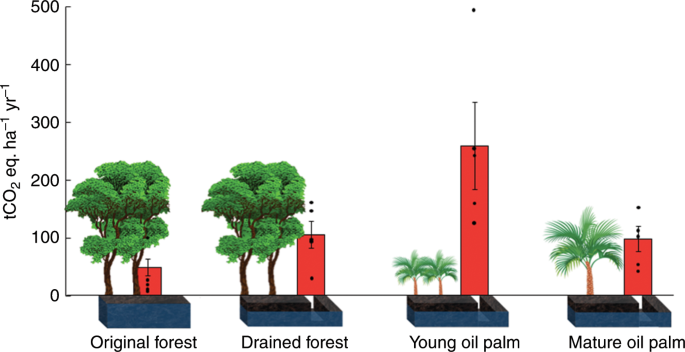

Kelp vs. Oil Palm vs. Forest Trees: CO₂ Absorption per Acre
Ecosystem estimated CO₂ Absorption per Hectare per YearNotesKelp Forests higher than land forests (exact figures vary). Kelp grows rapidly and can sequester carbon faster than land forests15.
Gaslighting of non fossil fuel sources ignores that oil palm is grown on trees which are cultivated on forest farms and can be left standing, diversified and converted into rain forests for rewilding. Sea weed is a crop (the only crop) exceeding oil palm in CO2 absorption. And it replaces fossil based fertilizers.
Key Points:
- Kelp forests absorb and sequester CO₂ at a faster rate per acre than land forests due to their rapid growth15.
- Oil palm plantations are reported to absorb more CO₂ annually per hectare than tropical forests, with figures around 64–65 tons CO₂/ha/year for oil palm versus 9.6–42 tons CO₂/ha/year for forests246.
- However, oil palm plantations store less total carbon over time than natural forests, especially when accounting for emissions from land conversion and peatland drainage4.
- Kelp’s high absorption rate is offset by uncertainties about long-term sequestration, as much of the carbon may be released when kelp decomposes unless it is buried in deep sea57.
Citations:
- https://earth.org/kelp-forests-carbon-sequestration/
- https://gapki.id/en/news/2025/04/16/oil-palm-most-efficient-carbon-sink-compared-to-others/
- https://ceepr.mit.edu/wp-content/uploads/2024/03/MIT-CEEPR-WP-2024-04.pdf
- https://news.mongabay.com/2007/11/oil-palm-does-not-store-more-carbon-than-forests/
- https://reasonstobecheerful.world/super-kelp-carbon-emissions-climate-change-oceans/
- https://hade-palmoil.co.id/oil-palm-plantations-absorb-more-carbon-dioxide-compare-to-natural-forest/
- https://www.edf.org/sites/default/files/2022-10/Carbon%20Sequestration%20by%20Seaweed.pdf
- https://www.mdpi.com/2077-0472/14/7/1133


