A Tomolor Cayucos is a traditional plank canoe used by the Chumash people, the original inhabitants of the Cayucos area in California. The term “tomolor” refers to the canoe itself, and “Cayucos” comes from the Spanish word for small canoes, named after these plank canoes used by the Chumash for fishing and travel along the coast. The Chumash built these vessels without nails or ribs, sewing planks together with natural fibers from local plants, showcasing a sophisticated indigenous maritime technology developed over thousands of years along the California coast.
A Tomolor Cayucos is traditionally paddled with a single-bladed paddle, similar to a canoe paddle but longer. Indigenous seafaring peoples of the California coast, including the Chumash who built the Tomolor, developed specific paddling techniques suited for their plank canoes. These paddles were often longer and gripped in a way distinct from modern kayak paddles, with attention to efficient strokes adapted to sitting low in the canoe and managing coastal waters.
This type of canoe is central to the Chumash maritime culture and history in the Cayucos region.wikipedia+4

the stitching on our latest Tomol Xax ‘Alolk’oy’ (Great Dolphin)…
The Chumash Nation is a maritime culture. We have lived along the California coastline from Ragged Point to Malibu and out to the Channel Islands for over 15,000 years. The Chumash have lived and thrived in these lush lands and coastal ocean environments.
In summary:
- Origin: The Chumash Native American people of coastal California.
- Construction: Plank canoes sewn together with plant fibers, no nails or metal.
- Use: Fishing, travel, and cultural maritime activities.
- Cultural significance: Represents indigenous watercraft engineering and coastal adaptation.
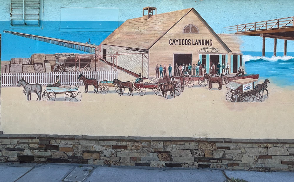
This historical boat is the namesake for the town of Cayucos, highlighting its cultural importance there.
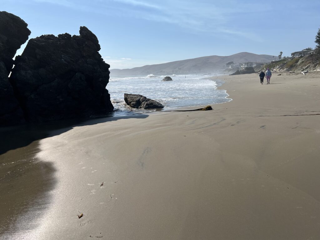
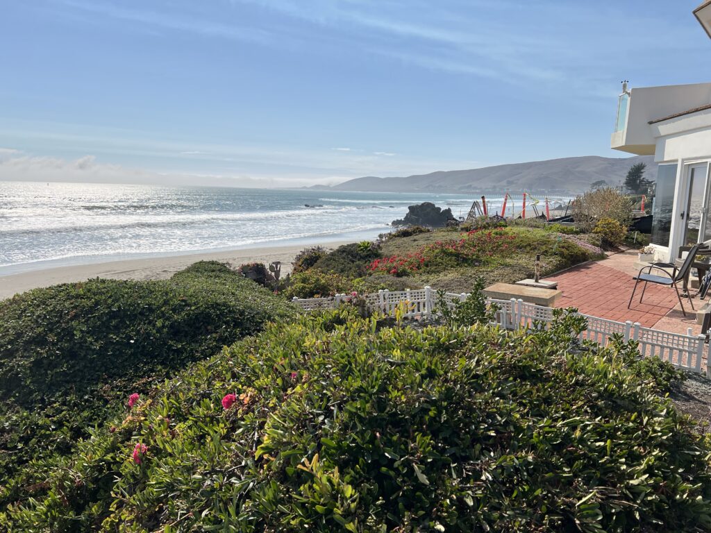
At Cayucos Cove near Morro Bay, California, the interests for different types of visitors are as follows:
Sailor
For a sailor, Morro Bay offers a protected harbor and good sailing conditions with variable winds. There’s a local yacht club and sailing schools, and opportunities for sailing tours, harbor explorations, and offshore adventures. The wind near Morro Rock can be challenging but rewarding for sailors experienced in adjusting to shifting currents and breezes.slovisitorsguide+1

Sailors may encounter the tall ship San Salvador in Morro Bay. The San Salvador is a full-scale replica of the 16th-century Spanish galleon commanded by explorer Juan Rodríguez Cabrillo. The original San Salvador was the first recorded European vessel to sail along the coast of Southern California, arriving at what is now San Diego on September 28, 1542.

Cabrillo used the original to explore and map the California coastline while establishing early contact with indigenous peoples. The ship is considered the founding vessel of San Diego and symbolic of California’s historical heritage, much like the Mayflower is for New England.museumships+4
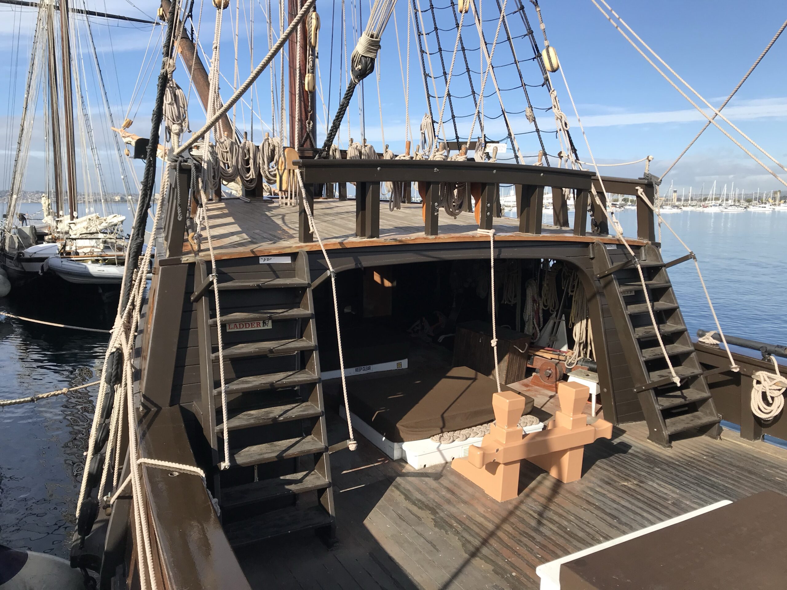
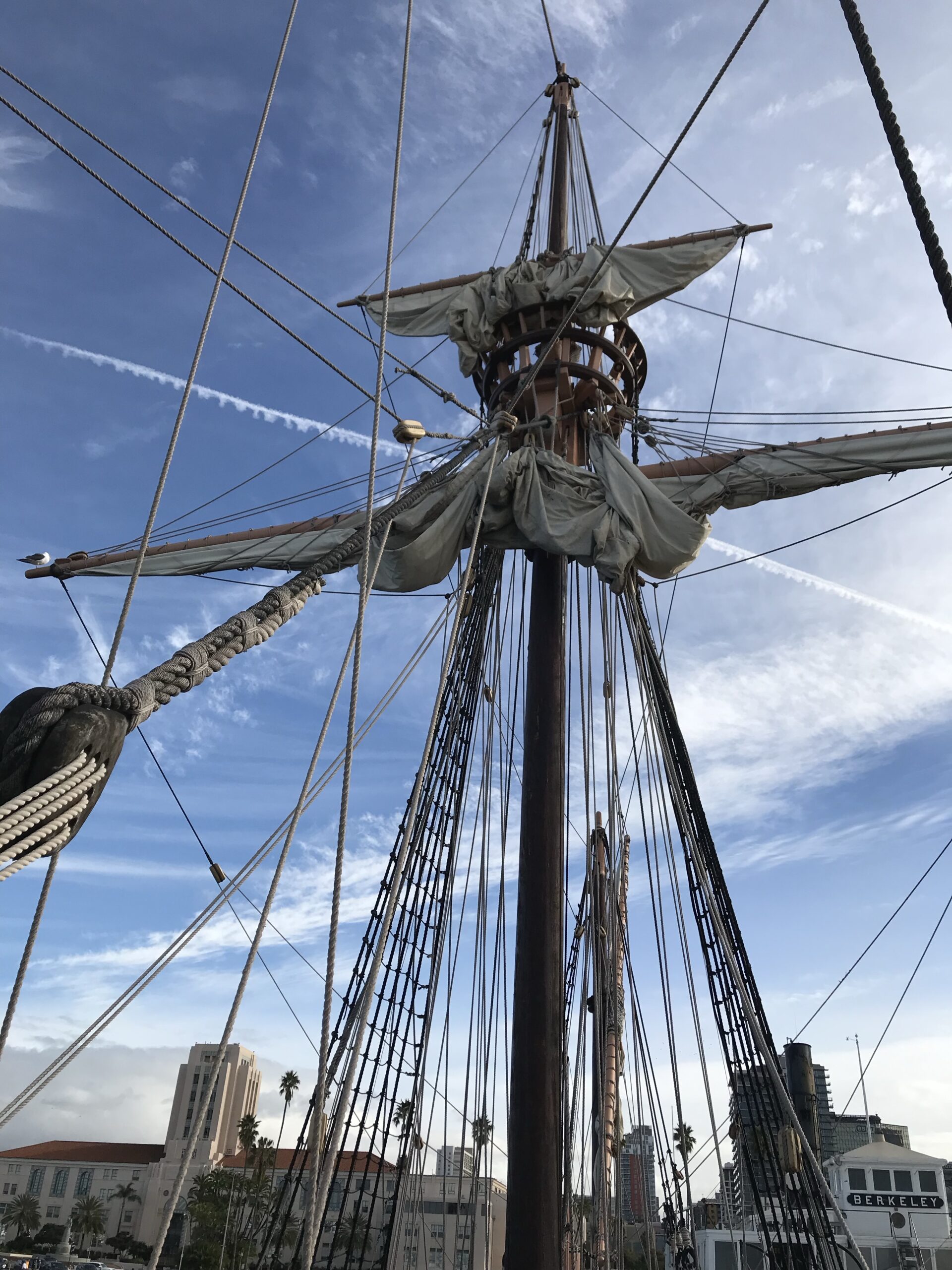

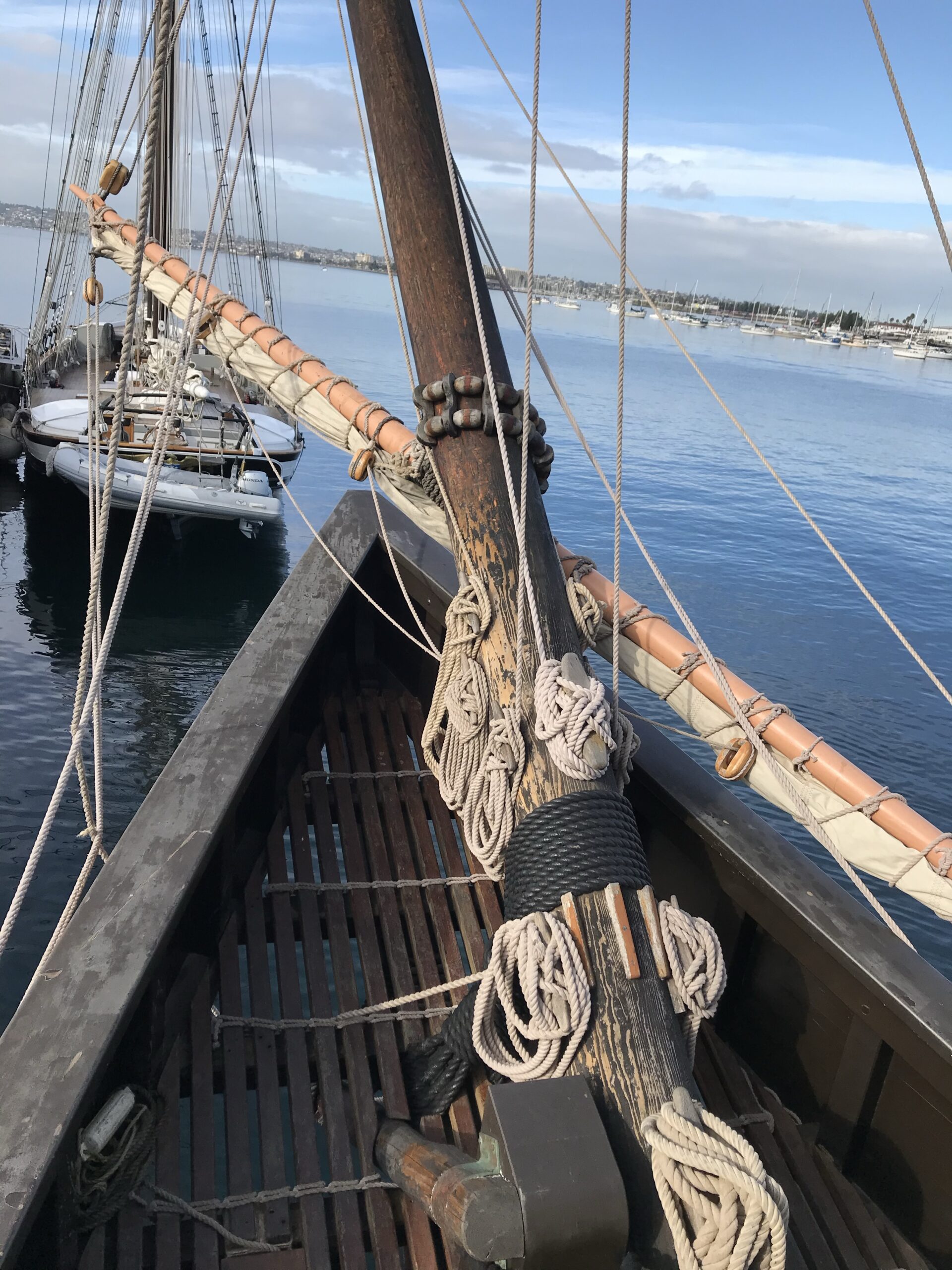
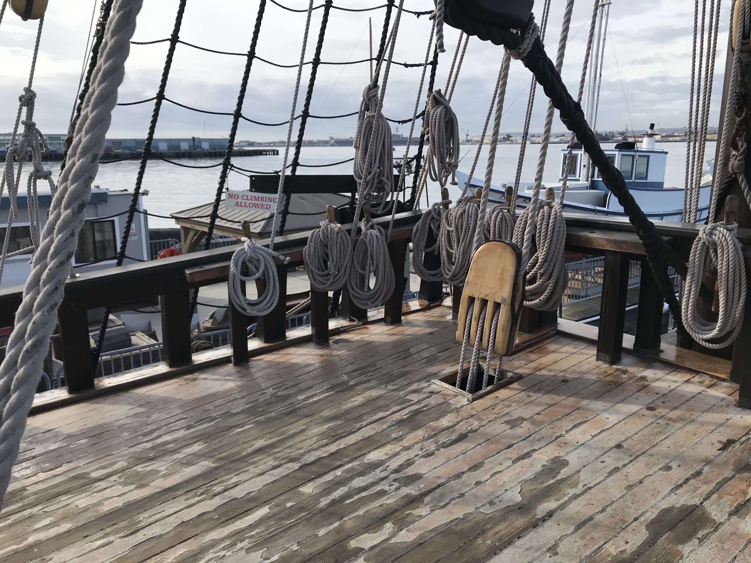
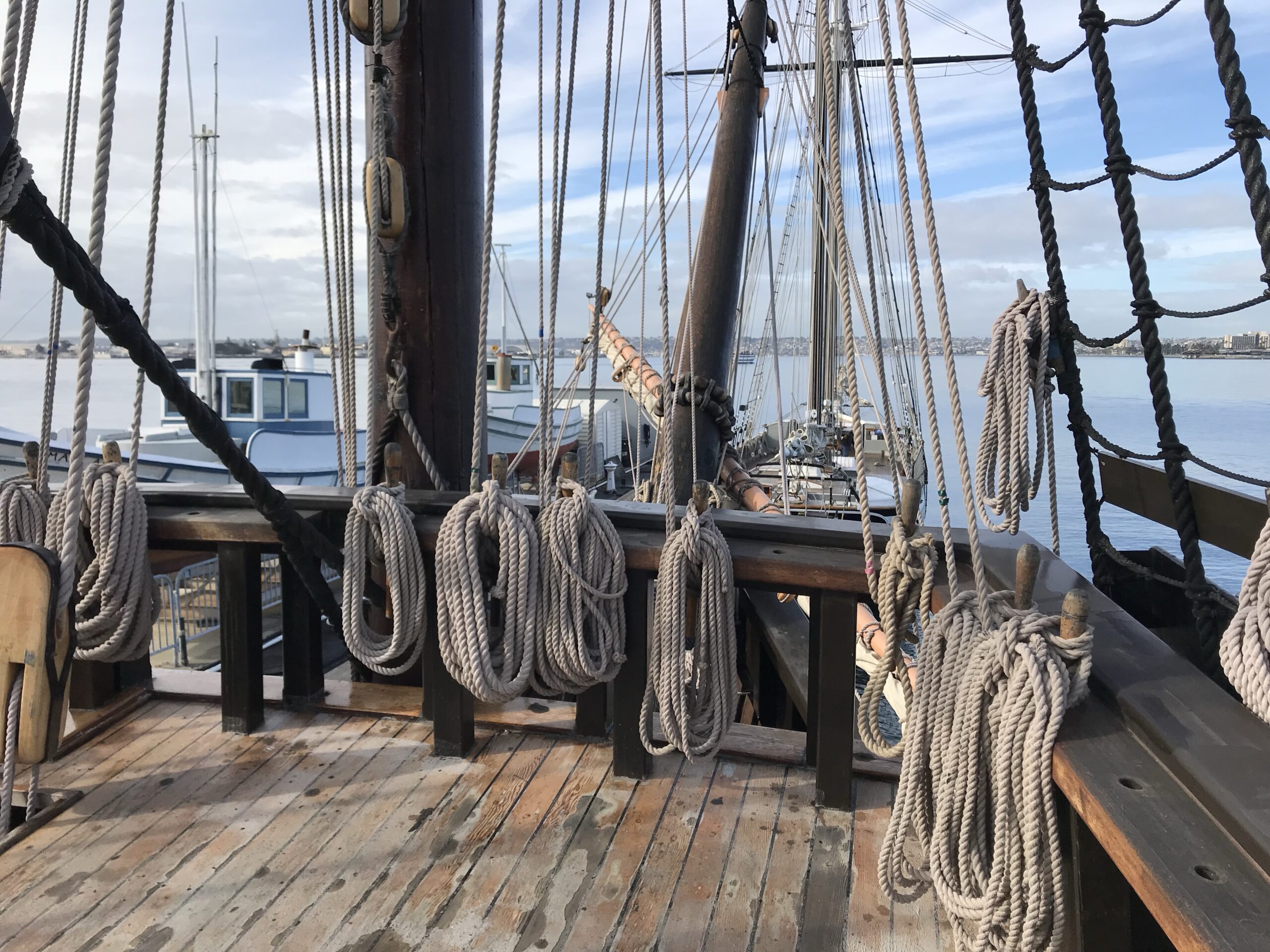
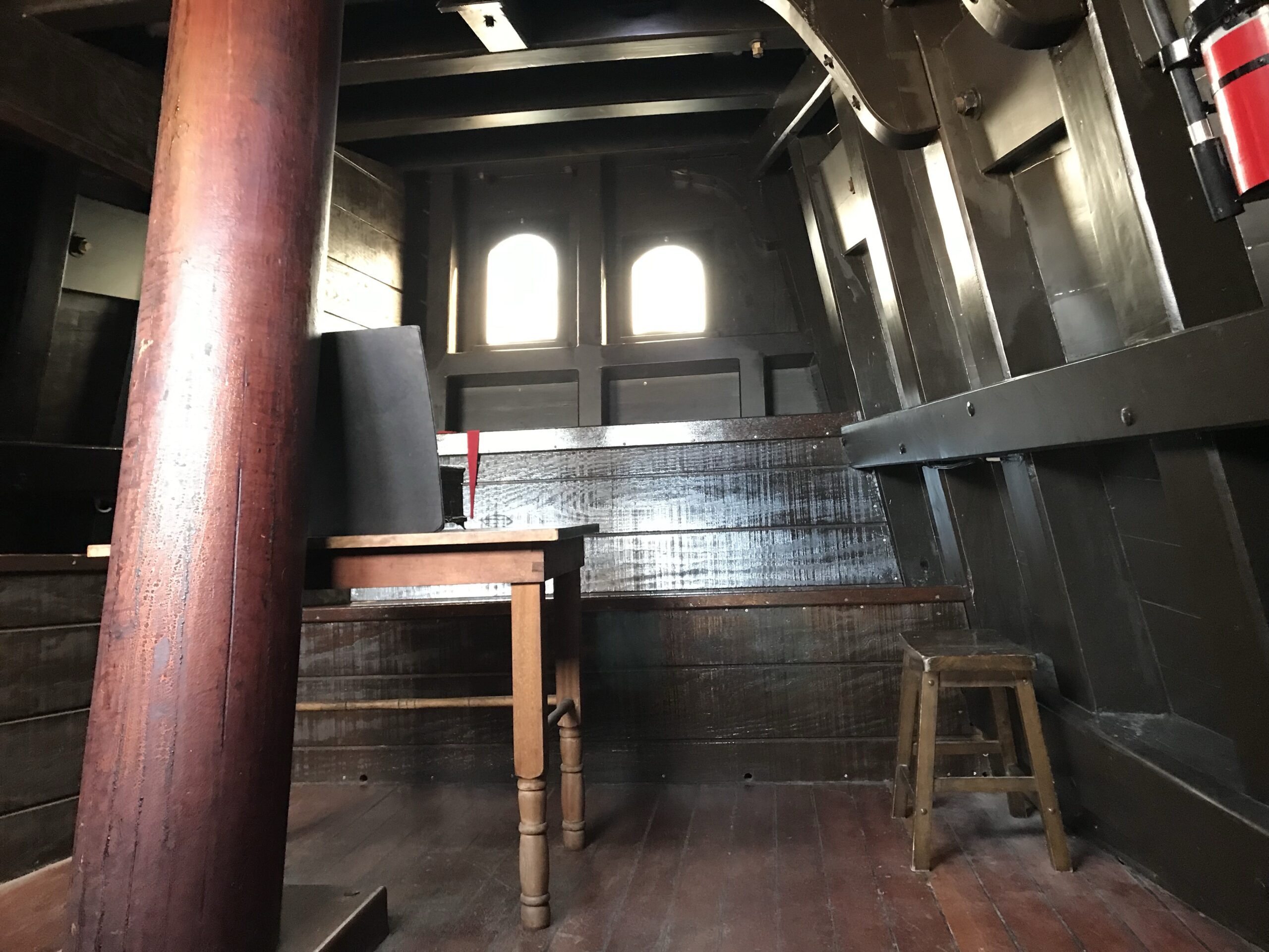
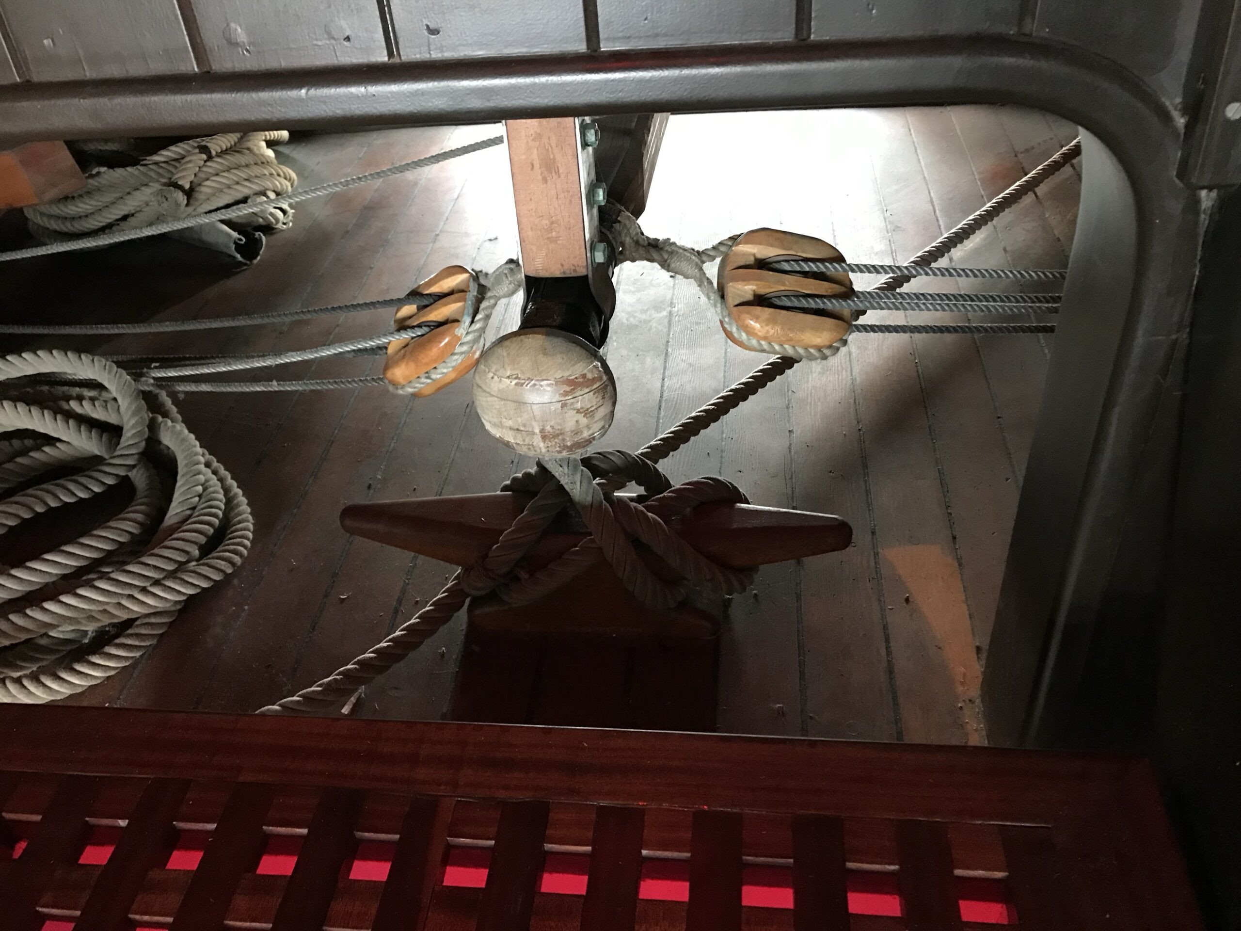
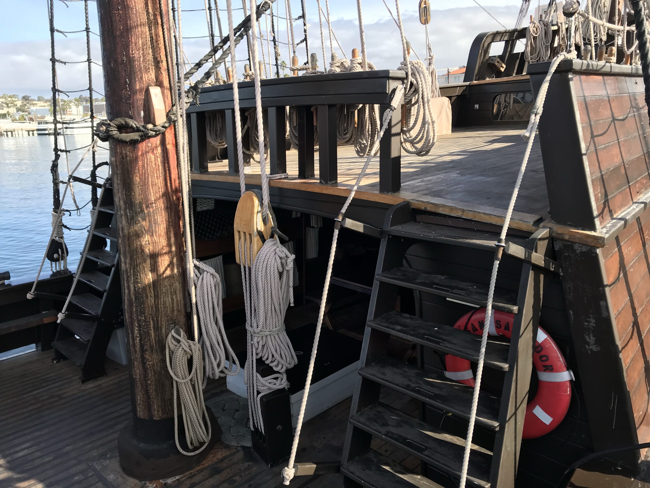
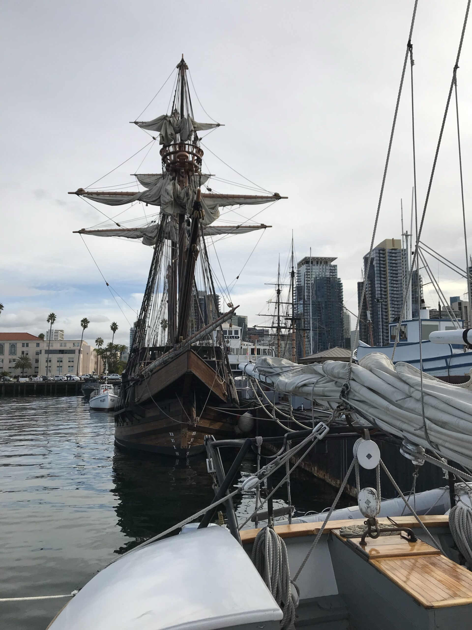
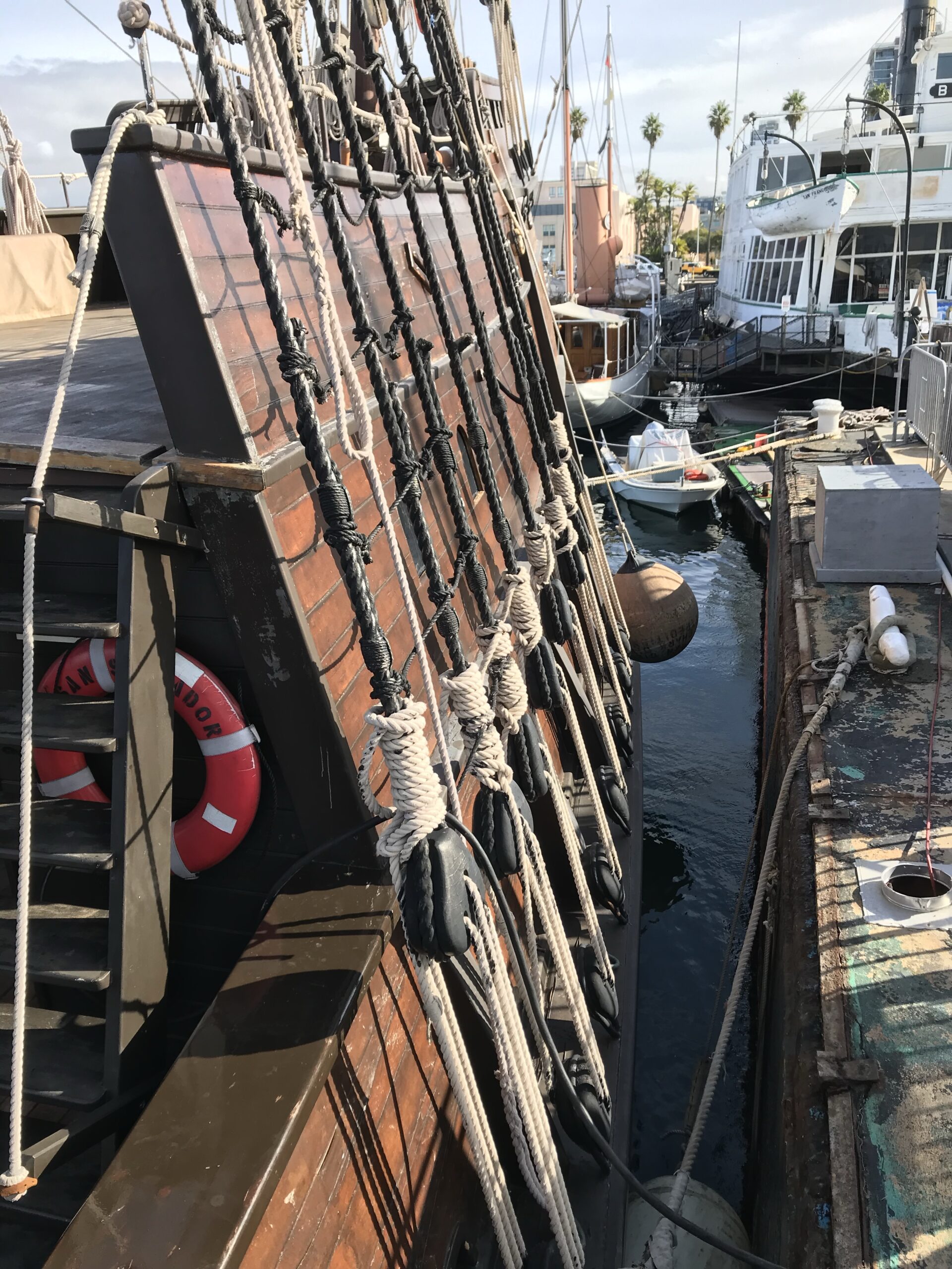
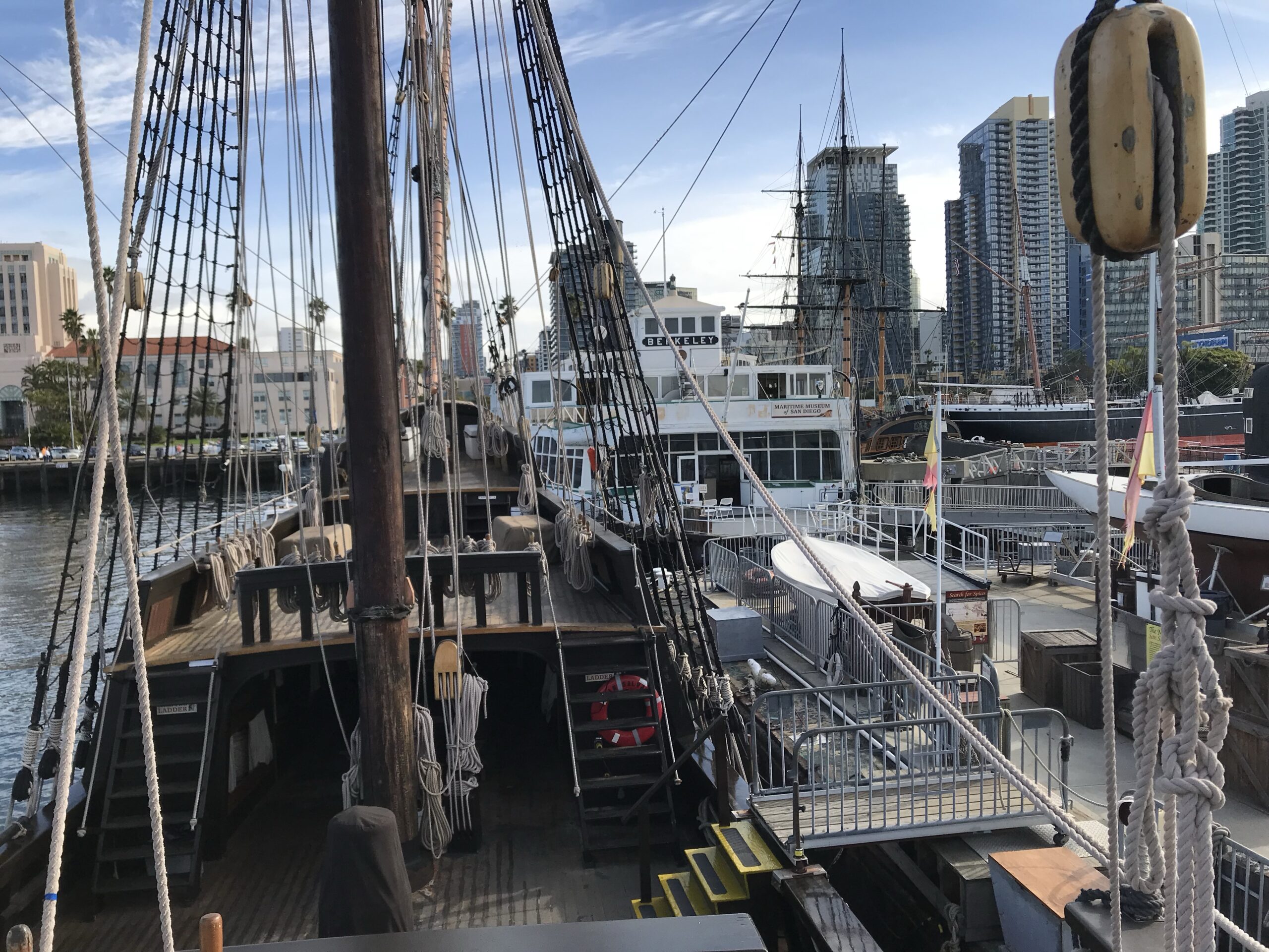
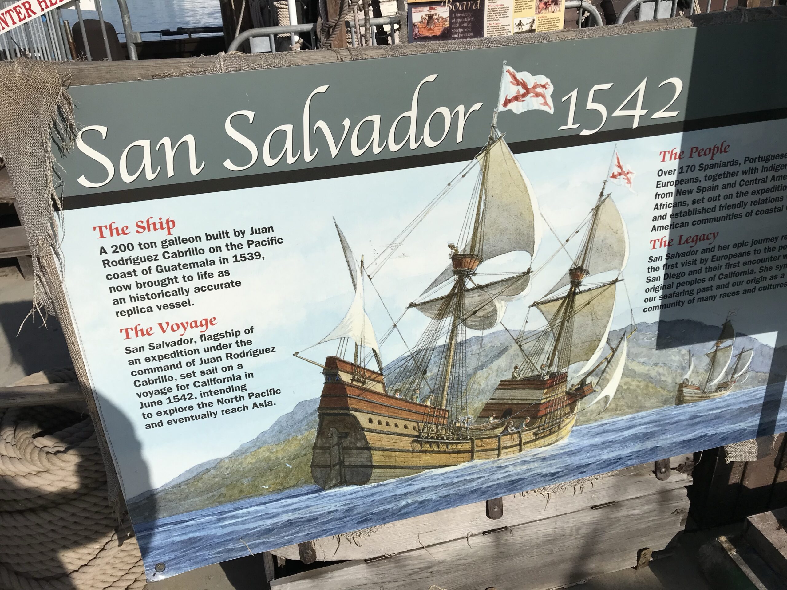
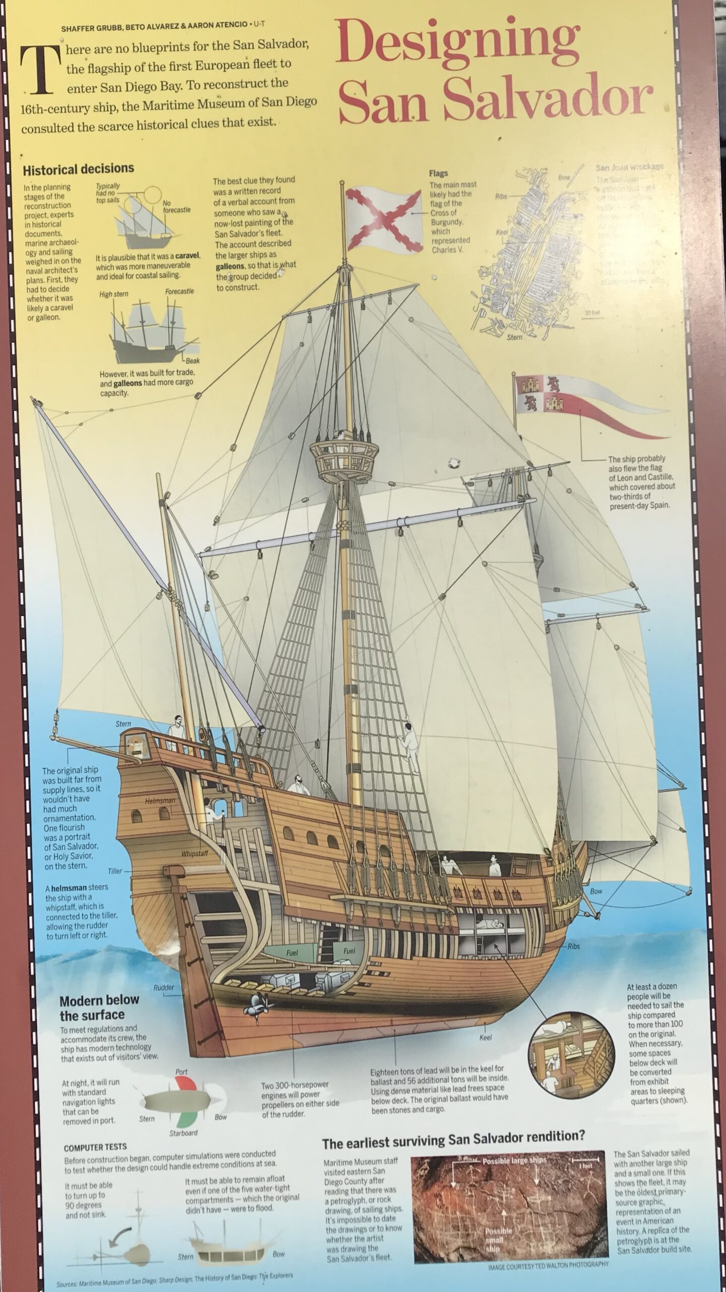
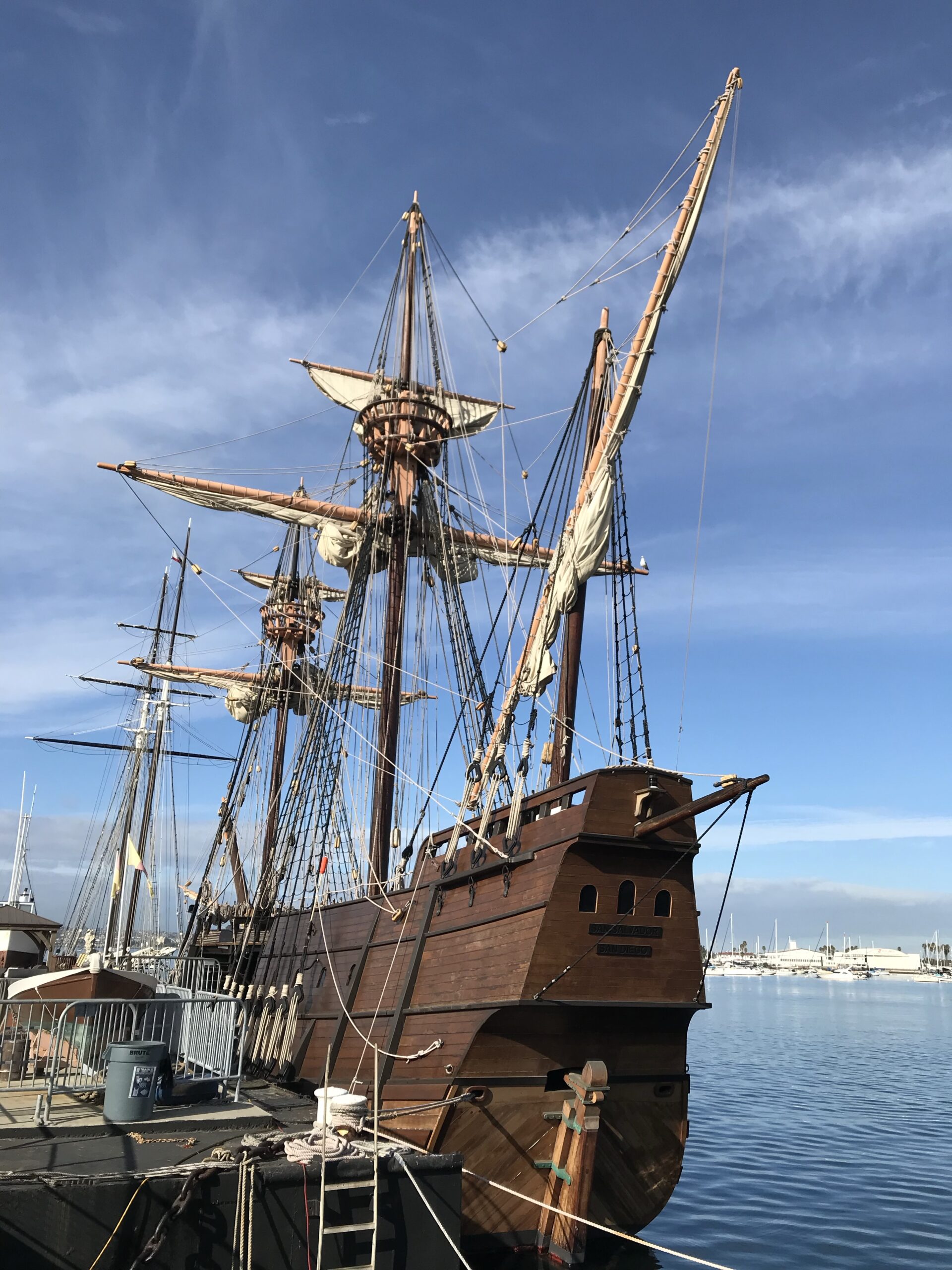

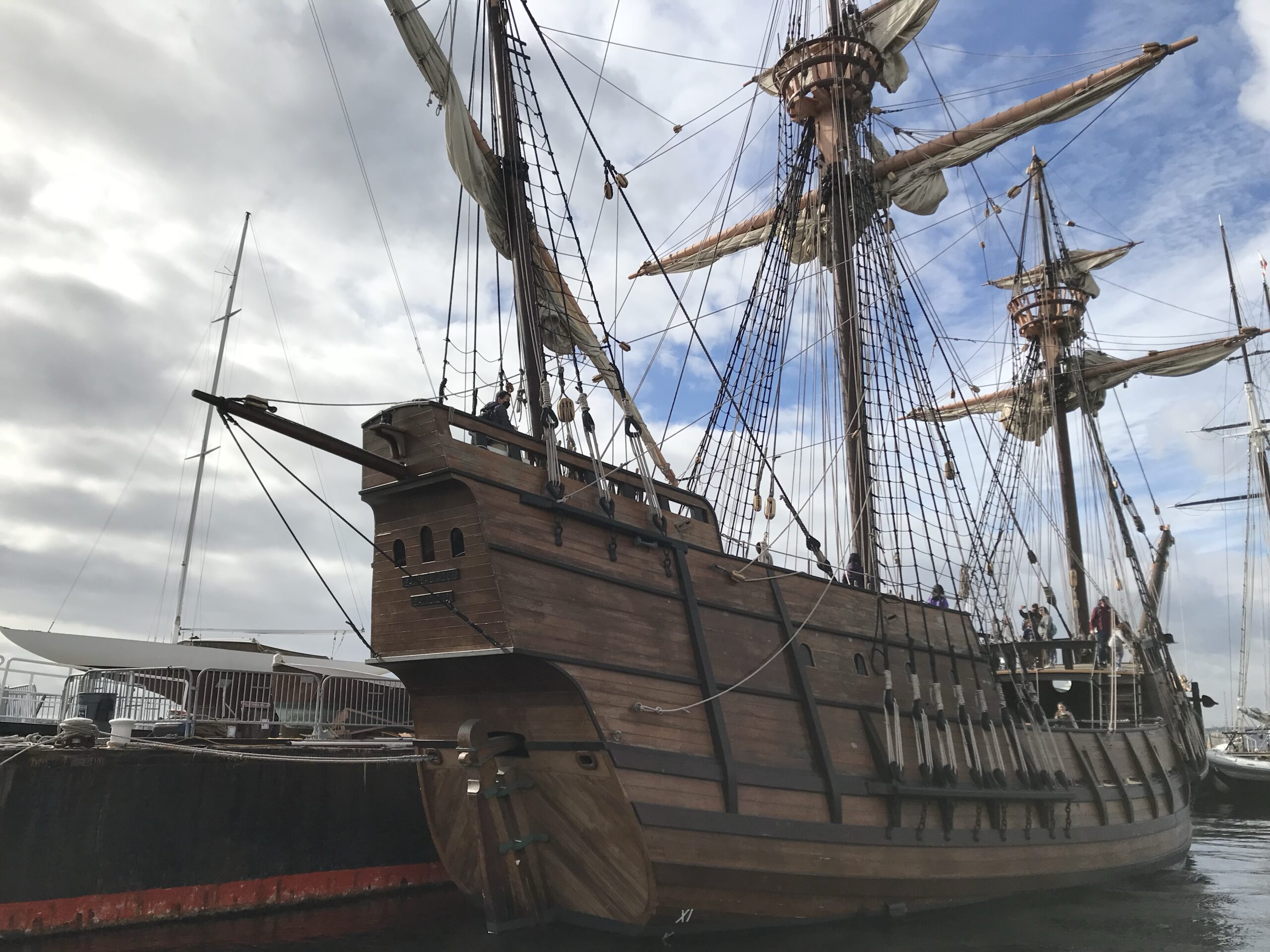
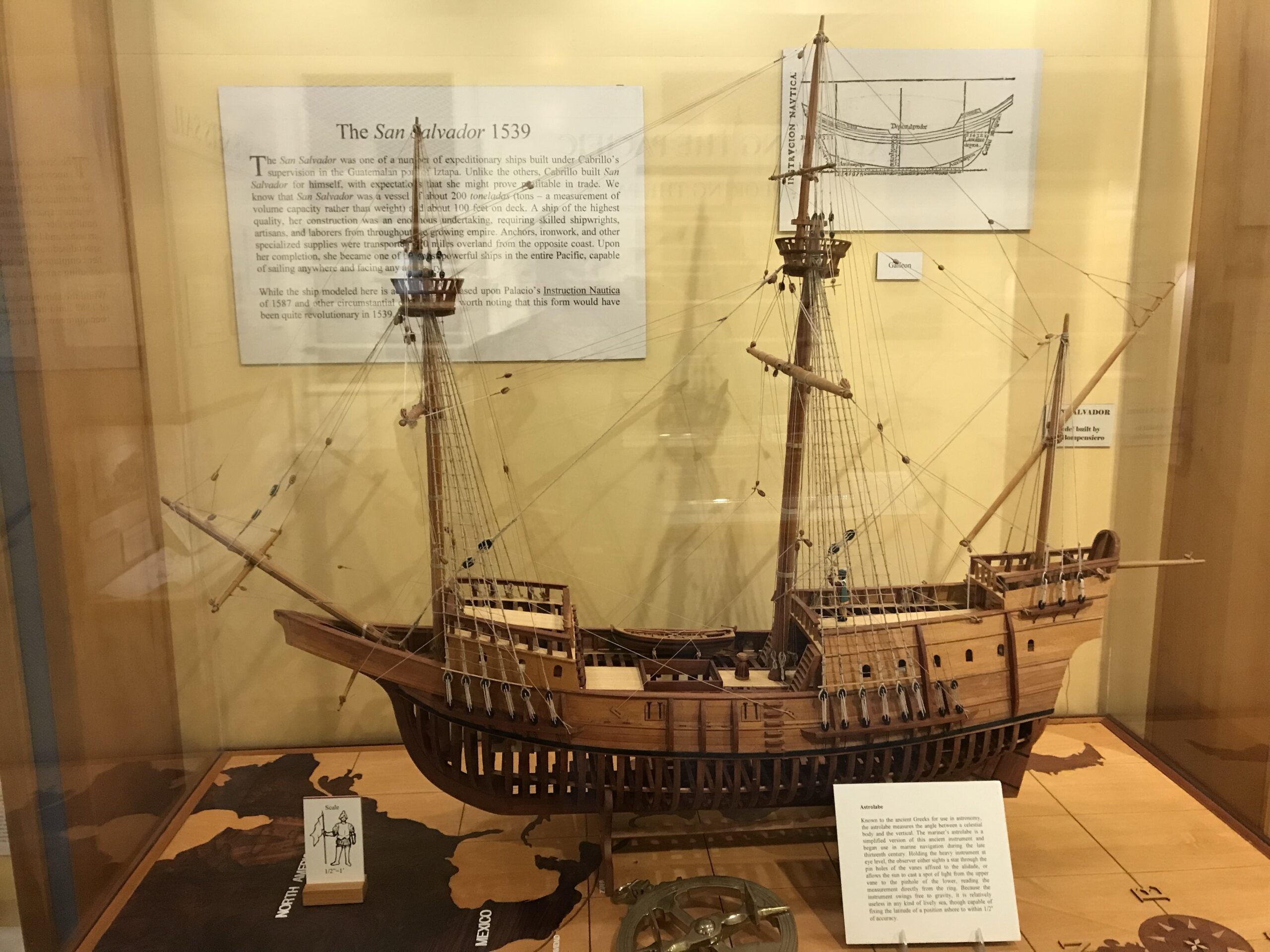
The replica San Salvador was built by the Maritime Museum of San Diego between 2011 and 2015. Construction took place publicly at Spanish Landing Park on Harbor Drive in San Diego. It is a historically accurate, seaworthy galleon approximately 92 feet long with three masts and rigged like the original vessel. The replica serves as both a floating museum and an educational platform, sailing along the California coast to teach about maritime history.sdmaritime+2

The ship visits towns like Cayucos (near Morro Bay) as part of its coastal tours to engage local communities and provide immersive historic experiences. Such visits enable the public to board the ship, participate in guided tours, and learn about the early European exploration of the West Coast. These visits align with the ship’s role in educational outreach and cultural heritage promotion.ksby
In summary:
- San Salvador: 16th-century galleon of Juan Rodríguez Cabrillo, first European ship on California coast (1542).
- Replica built: 2011–2015 at Maritime Museum of San Diego, San Diego, California.
- Purpose of visits to Cayucos: Educational tours and public engagement on the California coast, showcasing maritime heritage.
This replica brings history alive by sailing coastal waters and helping visitors connect with California’s founding maritime story.wikipedia+3
Sailors will also enjoy the museum. The Morro Bay Maritime Museum features a diverse collection of maritime exhibits both indoors and outdoors, representing local maritime history, technology, and coastal culture. Key exhibits include:

- The Cold War-era Deep Submergence Rescue Vehicle (DSRV) Avalon, a small submarine rescue vessel.
- Historic vessels like the 1927 wooden tugboat Alma, a 1933 Monterey-style fishing boat Spindrift, and a US Coast Guard Surf Rescue Boat.
- Artifacts such as an 1880s whaler’s trypot, a 27-foot-long whale skeleton found on a local beach, and a 1930s deep-sea submersible.
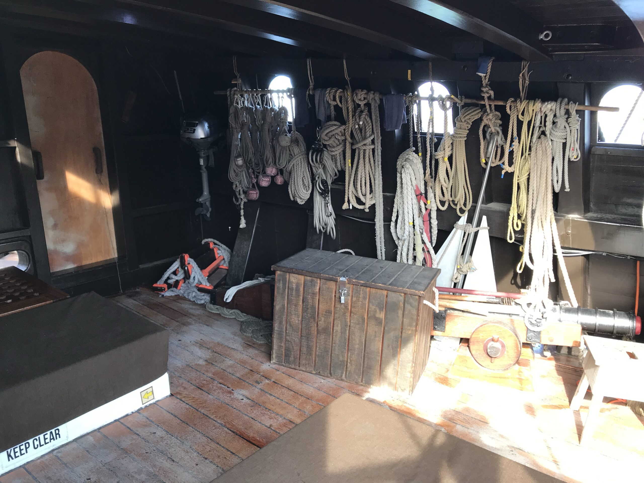
- Interactive exhibits for families such as a ship’s cannon compartment with a 16th-century cannon, a sailor’s knots demonstration, and an augmented reality mural.

The museum preserves and showcases military, commercial fishing, and maritime history tied to the California coast, including WWII naval activities and local abalone diving. It has an educational focus, supported by a research library with historical videos and local oral histories.
Regarding Indigenous exhibits, it is noted that the museum had a blessing ceremony involving the local Salinan tribe at its opening and preserves regional maritime heritage but no specific large Indigenous exhibit collection is emphasized in the descriptions.guide2museums+2
As for visiting hours, the museum is open Monday from 10 a.m. to 3 p.m., along with Thursday, Friday, Saturday at the same hours, Sunday 10 a.m. to 2 p.m., and closed Tuesday and Wednesday. Admission is free.morrobay+1
In summary:
- Location: 1210 Embarcadero, Morro Bay, CA, opposite the pier.
- Open Monday 10 a.m. – 3 p.m.
- Exhibits cover broad maritime history with some connection to local Indigenous culture but no extensive dedicated Indigenous exhibits detailed.
- Free admission.
This makes it an accessible and engaging stop for those interested in California coastal maritime heritage.
Historian
For a historian, Morro Bay and the nearby area have rich maritime and local history, including preserved shipwrecks along the coast, historical piers, and connections to native and colonial histories. The Central Coast Maritime Museum Association nearby helps preserve this heritage.roadtrippingcalifornia+2

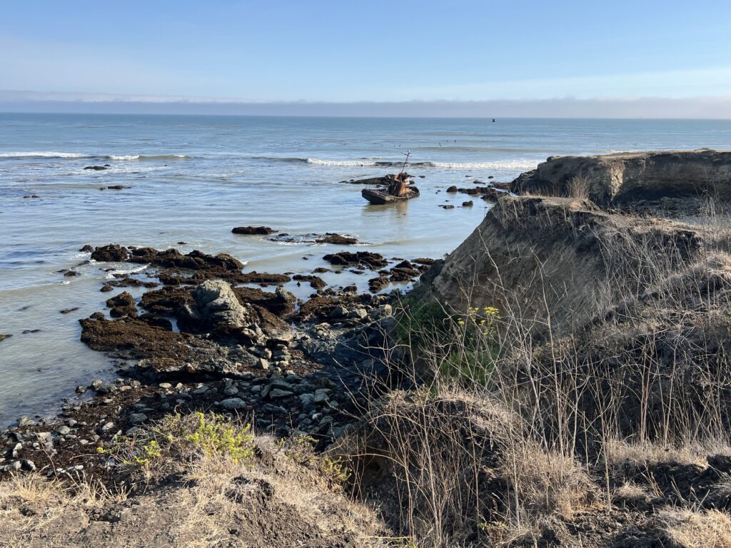
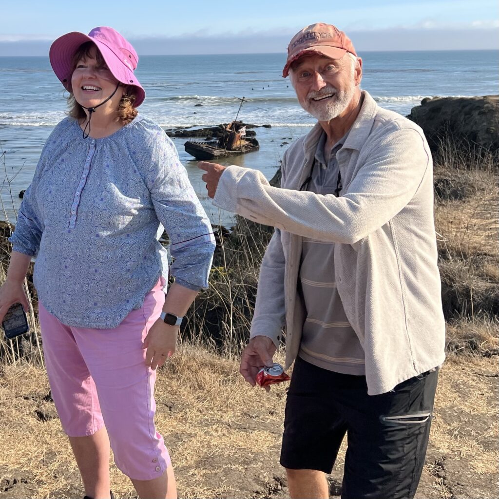
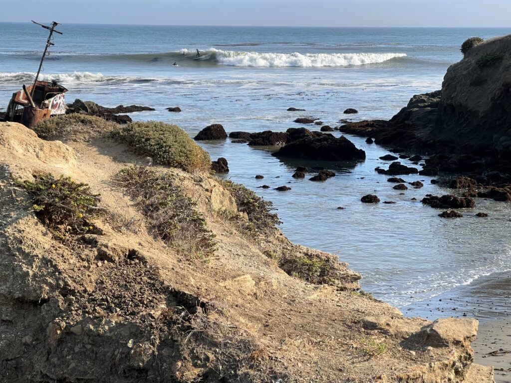
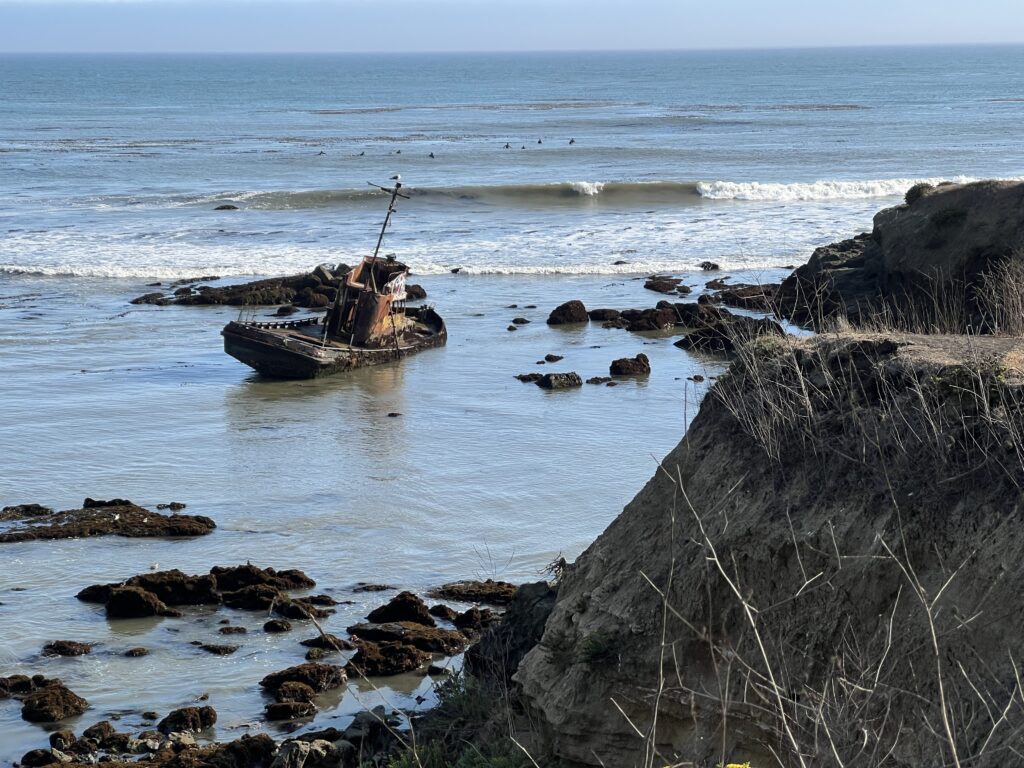
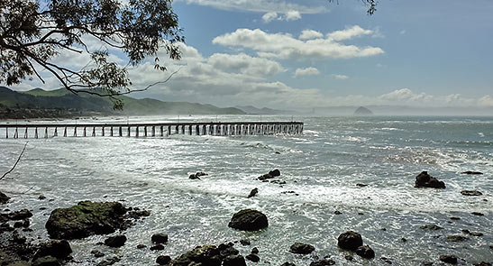
The most notable historic shipwreck near Cayucos is the Point Estero, a commercial fishing vessel that ran aground in July 2017 just west of Cayucos, along the coastline near Estero Bluff State Park. The vessel was returning to Morro Bay Harbor when it mysteriously ran aground, likely due to operator error or navigational issues in heavy fog. The U.S. Coast Guard quickly removed hazardous materials, but the ship itself was left stranded on coastal rocks because salvaging costs were prohibitively high and jurisdictional and funding issues prevented removal by state authorities.
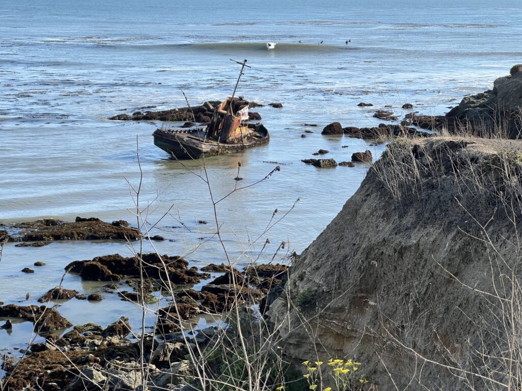
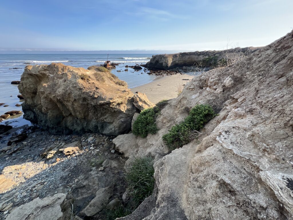
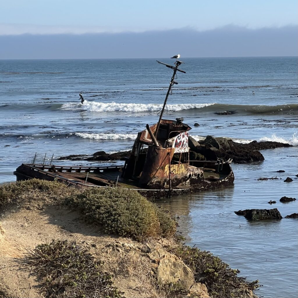
Today, the Point Estero shipwreck remains in remarkable condition as a semi-grounded vessel visible from Highway 1 and accessible at low tide. Visitors can hike down to the wreck, walk around it, and explore its deteriorating structure cautiously. The site has become a point of local urban legends involving storm surges or the ship being run aground after a night of drunkenness. It offers a fascinating stop for hikers, history enthusiasts, and photographers interested in maritime wrecks on the Central California coast.weirdca+3
In summary:
- Name: Point Estero (commercial fishing vessel)
- Date of wreck: July 28, 2017
- Location: West of Cayucos, near Estero Bluff State Park, along Highway 1
- Cause: Operator error, fog, or storm surge (urban legends)
- Status: Stranded, partially submerged, stripped of equipment, accessible at low tide
- Authority: Coast Guard removed hazards; salvage unaffordable
- Visitor tips: Visit at low tide, cautious exploration advised, hike into a small cove to reach the wreck.livethatadventure+2

This wreck is the key historic shipwreck attraction at Cayucos.
Hiker
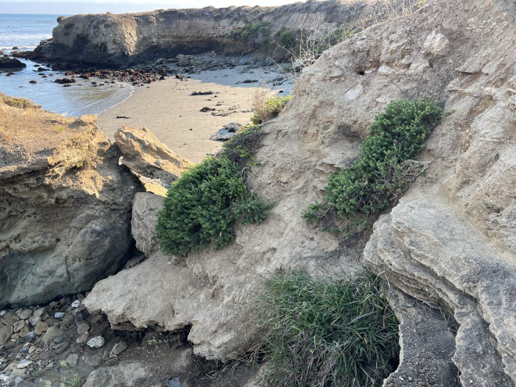
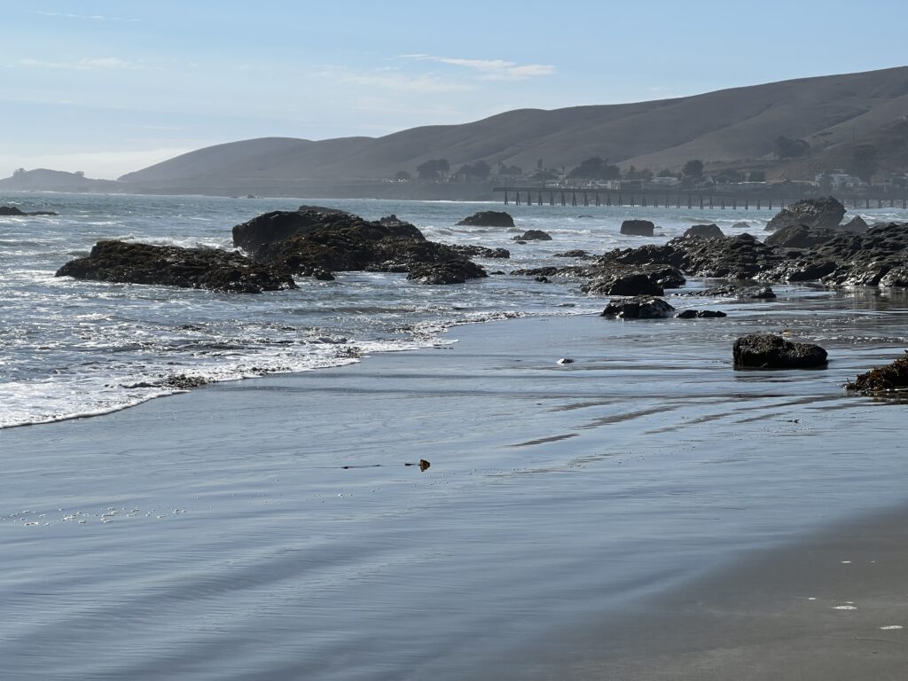
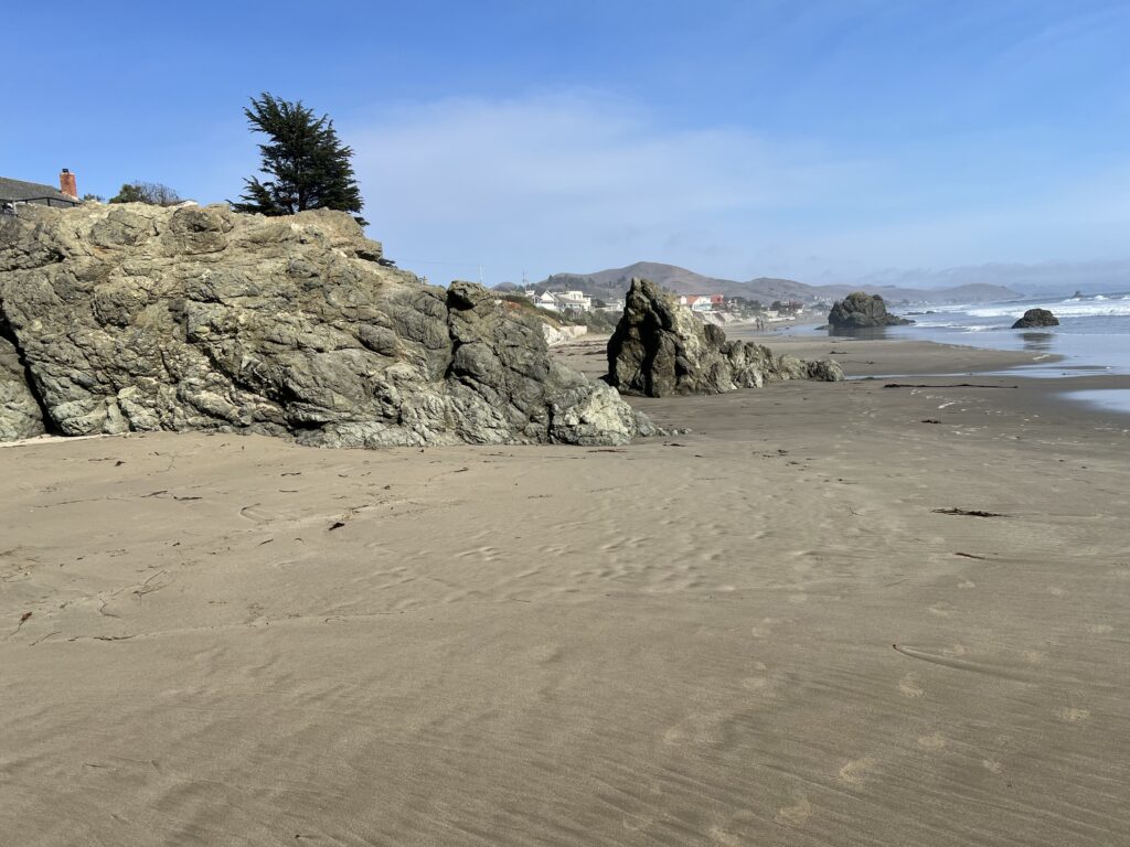
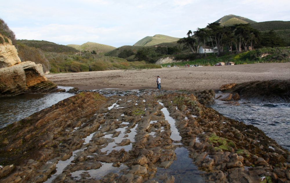
For a hiker, the region around Morro Bay offers trails in state parks like Montaña de Oro with rugged cliffs, coastal plains, beaches, and canyons. Trails near the coast provide spectacular views of the ocean, cliffs, and tide pools.travelingboy+1
Here are hikes arranged roughly in order of difficulty, from easy to more challenging:
- Easy Trails:
- Marina Peninsula Trail: A flat 0.7-mile walk along the estuary, ideal for birdwatching and casual strolls, suitable for families and accessible for most visitors.
- Windy Cove Trail: A short 0.7-mile trail with minimal elevation gain, providing scenic views of Morro Rock and the harbor.
- Elfin Forest Trail: A 1.3-mile loop with an elevated boardwalk through a rare coastal pygmy oak forest. It has minimal elevation, is easy and accessible with interpretive signs.
- Morro Bay Harbor and Estuary Trail: Flat and paved, part of this trail is wheelchair-friendly and offers wildlife viewing opportunities.
- Moderate Trails:
- Black Hill Trail: The shortest route is 0.6 miles with a 190-foot elevation gain, an easy to moderate but steep hike providing panoramic views of Morro Bay and Morro Rock.
- Exercise Trail to Black Hill: A more moderate 2.5-mile round trip with steady elevation gain passing shaded oak groves.
- Portola Point Trail: A 1.9-mile out-and-back trail with 450 feet of elevation gain through oak hills, offering ocean and estuary views.
- Crespi Trail: A 3-mile loop with about 505 feet elevation gain, quieter and less crowded, with estuary and birdwatching highlights.
- Chumash-Crespi Loop Trail: A 3.3-mile moderately challenging loop featuring grasslands, oak groves, and bay views, with about 551 feet of elevation gain.
- Cerro Cabrillo via Quarry Trail: A more rugged 2.4-mile round-trip with 900 feet elevation gain, including steep inclines and some rock scrambling near the summit, rewarding hikers with spectacular views.
- More Challenging:
- Black Hill via Exercise, Grove, and Pipeline Trail: The longest and most scenic Black Hill approach, about 4.1 miles round trip with 872 feet elevation gain, passing through varied terrains including chaparral and oak woodlands.
The Morro Bay Harbor and Estuary Trail and nearby waterfront paths offer easy walking routes that lead along the harbor and close to the pier area, ideal for casual strolls and wildlife viewing without significant elevation or difficulty.
In summary, Morro Bay hiking offers options from casual coastal walks near the pier and estuary to more strenuous summit climbs with panoramic views. Trails like Black Hill Trail are popular for views, while trails like Marina Peninsula and Elfin Forest provide peaceful nature experiences at an easy level.
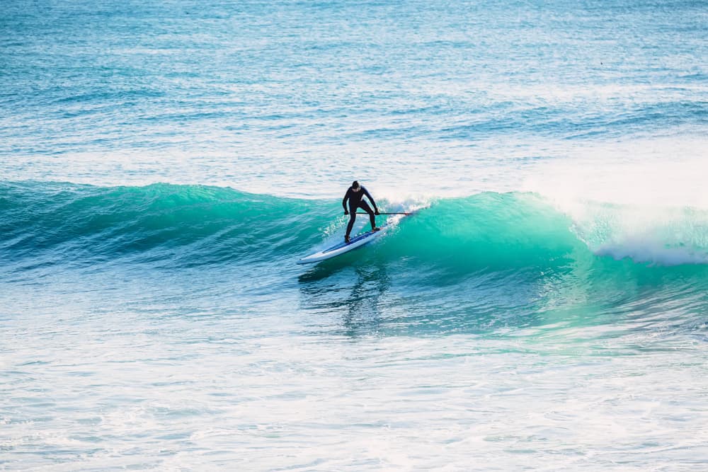
Surfer
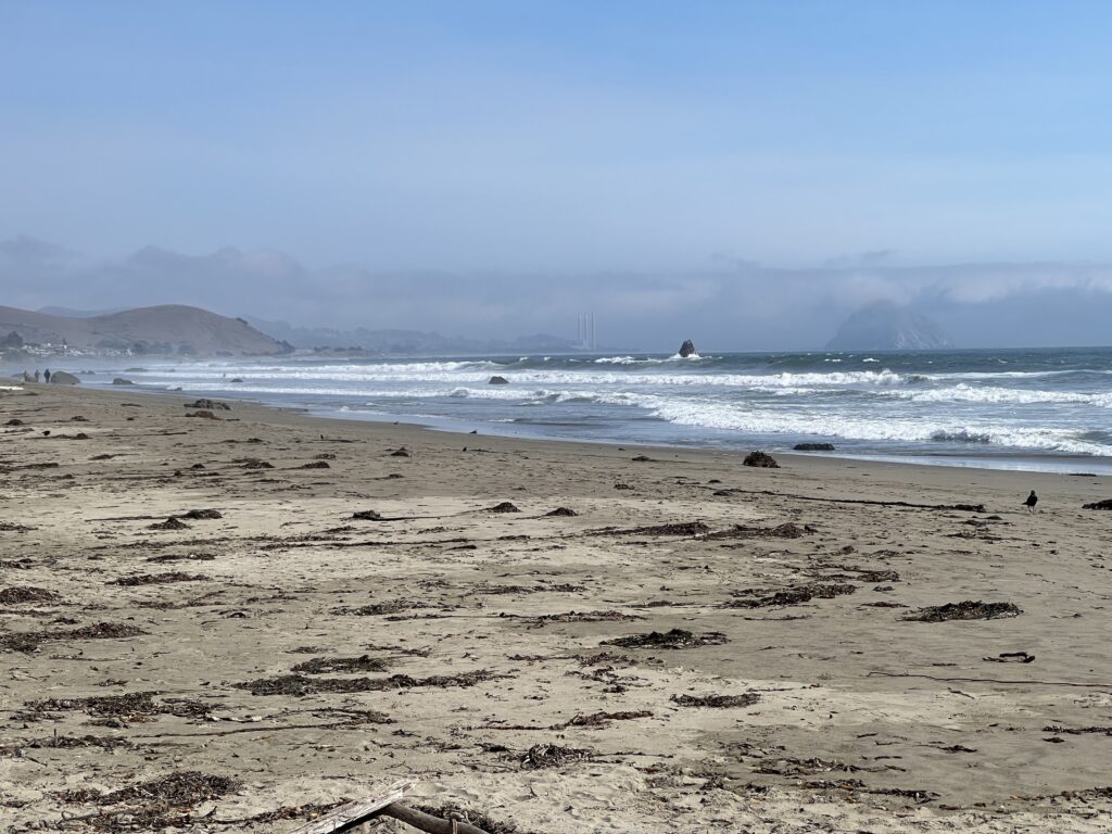
- For a surfer, Morro Bay has beaches like Morro Beach where surfing is popular. Windsurfing and kiteboarding are also top wind-related water sports in the area, especially at spots like Windy Cove.simpleviewinc+2

Wildlife Enthusiast
For a wildlife enthusiast Morro Bay is a rich ecological habitat with estuaries, bird sanctuaries, and the presence of endangered species. The bay hosts sea otters, sea lions, harbor seals, numerous bird species, and marine mammals including whales during migrations. Tidepools and shore habitats also support diverse marine life.mbnep+2
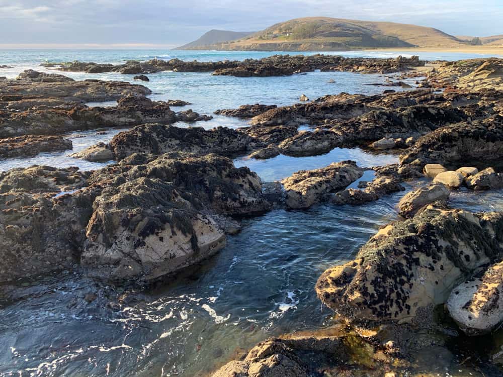
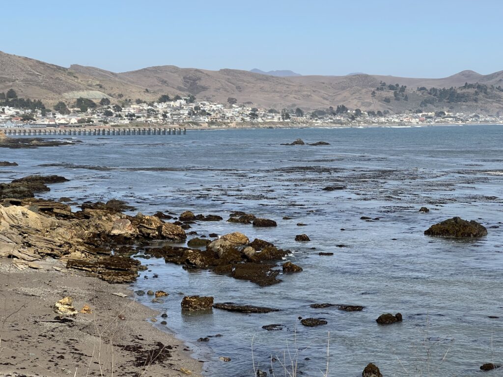
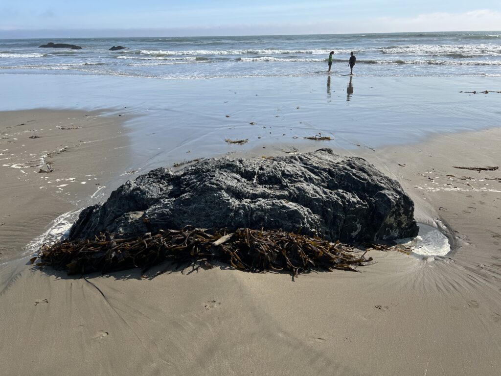
At Cayucos Cove tide pools, you can see a rich variety of marine life including sea anemones, purple sea urchins, snails, crabs (notably sideways-walking crabs), sea stars (starfish in various colors), mussels, barnacles, chitons, nudibranchs (colorful shell-less sea slugs), tube worms, sea cucumbers, and various types of algae like coralline algae. Tide pools here display distinct zones (splash, high, mid, low tide zones) each with different species adapted to the conditions. You might also spot harbor seals resting on nearby rocks and tide pool creatures like octopus or small fish such as gobies in lucky sightings.
Architect
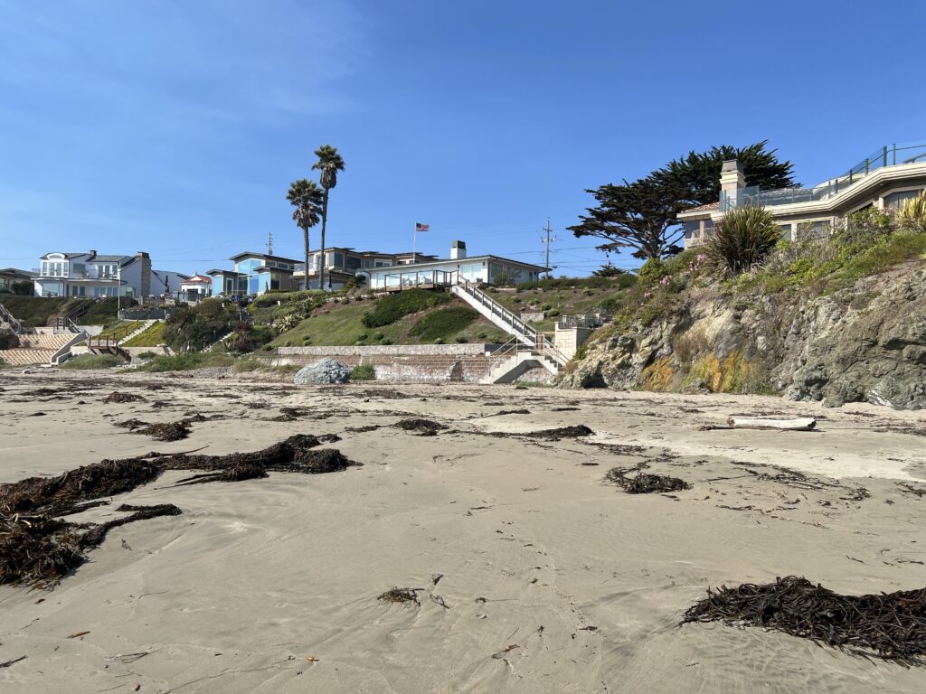
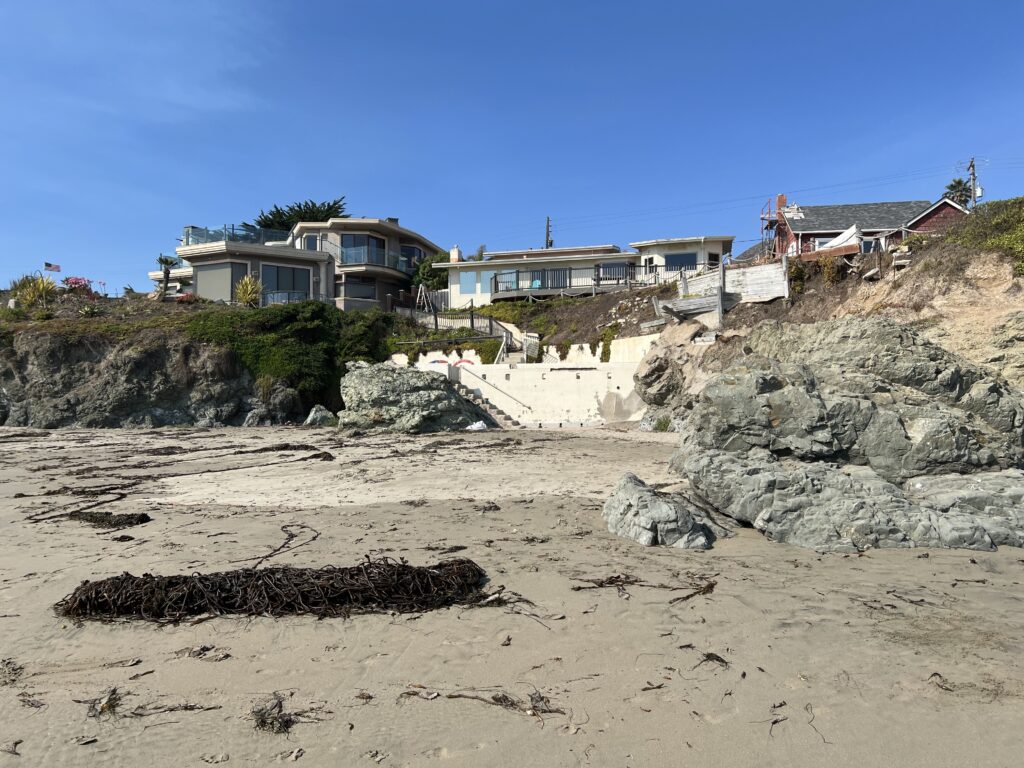
For an architect, while specific architectural landmarks in Cayuite Cove or Morro Bay are less highlighted, the blend of natural landscapes, historic piers, and coastal infrastructure might provide interest in maritime, restoration and coastal architecture, and the integration of built environments in ecologically sensitive and scenic areas.mbnep+1
A naval architect would find a Tomol interesting due to its unique construction methods, efficient hull design for stability and seaworthiness in coastal waters, and cultural significance as an example of indigenous nautical innovation. They represent early sophisticated watercraft engineering adapted for local coastal conditions.

Thus, Cayuite Cove and Morro Bay together provide a blend of sailing challenges, historical resonance, hiking beauty, surf culture, wildlife richness, and coastal architectural elements to explore.
Chumash Native Americans
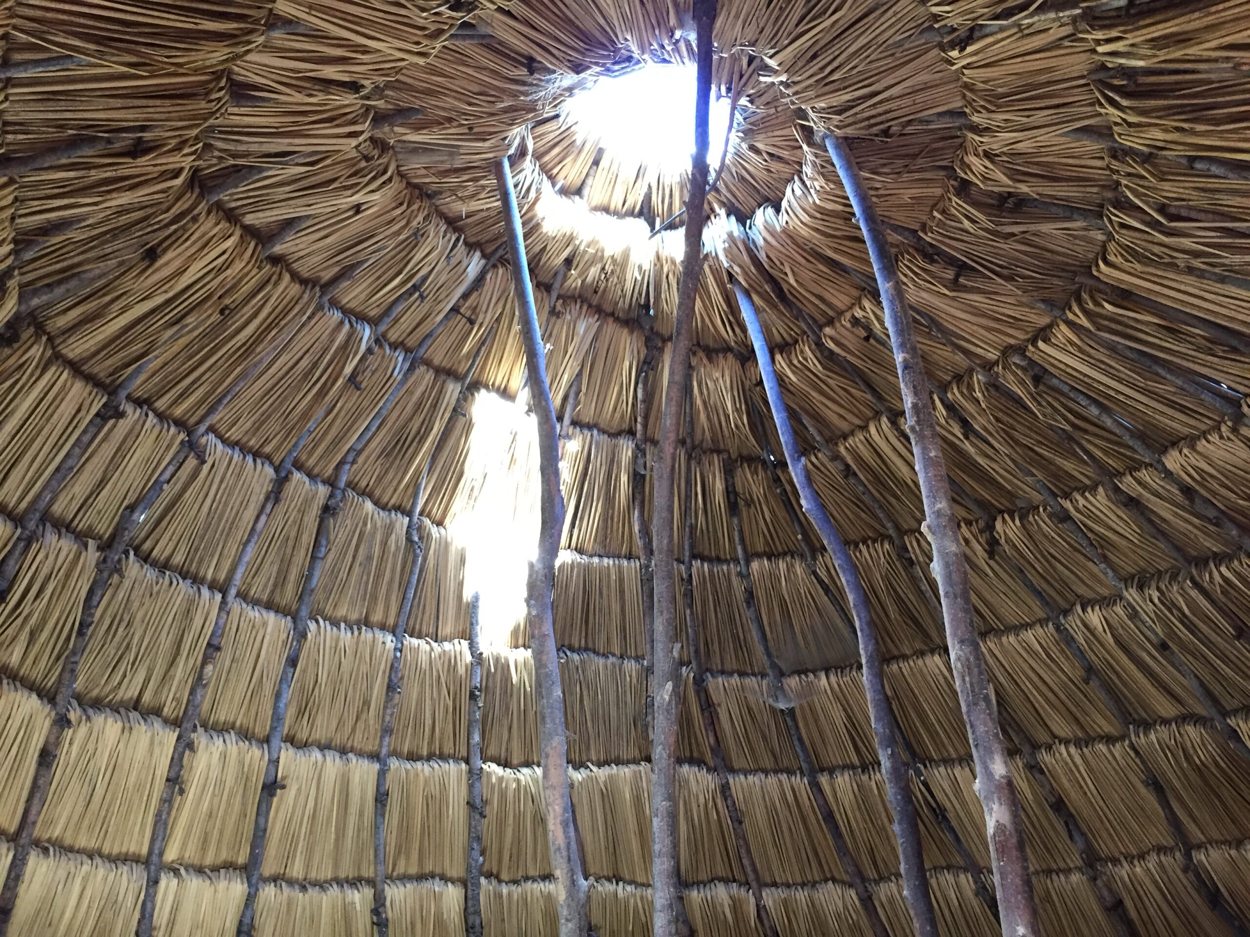
The Cayucos area (including Cayucos Cove) was originally inhabited for thousands of years by the Chumash Native Americans, one of California’s most complex and organized coastal tribes. As mentioned above, the term “Cayucos” itself derives from the Chumash plank canoe called Tomol (or Tomolor), a sophisticated sewn plank boat used for fishing and travel along the coast. The Chumash had a rich maritime culture, and their plank canoe technology demonstrated indigenous nautical innovation without nails or metal fasteners.

Prior to being forced to build missions, the Chumash people had extensive trade networks and travel capabilities. They lived along the southern California coast and on the Northern Channel Islands and were skilled seafarers who built plank canoes called tomols. These tomols allowed them to travel safely between the islands and the mainland and facilitated trade up and down the coast.
The Chumash traded shell bead money known as ‘alchum, which they made from shells and used as currency. These shell beads and other trade goods have been found far beyond their immediate territory, reaching as far as Nevada, Arizona, New Mexico, and southern California tribes including coastal and inland groups. This shows they engaged in long-distance trade networks with various tribes, likely including some to the north on the northwest coast, though their primary trade connections were more broadly regional within Southern California and the American Southwest.
Archaeological and ethnographic evidence indicates the Chumash traded goods such as obsidian (from far inland), acorns, chia, pine nuts, red ochre, blankets, wooden and steatite vessels, and shell beads. Their plank canoes enabled ocean fishing and transportation of goods and people along the coast, contributing to their complex social and economic system.
Regarding travel distances, the Chumash plank canoes allowed them to ferry people and goods between the Channel Islands (about 30 miles offshore) and the mainland coast. Trade items originating from the Chumash area have been found hundreds of miles inland and across a broad area of southern California and neighboring regions, indicating travel and trade extended over hundreds of miles.
In summary, the Chumash were part of a sophisticated trade network well before the Spanish missions, utilizing their boating technology to navigate coastal and island routes and exchanging goods over wide areas. This deep and complex pre-contact trade and travel system was disrupted when they were forced into mission life by the Spanish in the late 1700s and early 1800s.kids.britannica+4
European contact began with Spanish explorer Juan Rodríguez Cabrillo, who sailed along the California coast in 1542, becoming the first recorded European in the region. Cabrillo’s voyage passed by the future Cayucos area, where indigenous canoe paddlers greeted the newcomers. Following the expedition, Spain claimed Alta California but did not settle the area until 1769 when Franciscan missionaries and soldiers established missions such as Mission San Luis Obispo de Tolosa, built largely by the Chumash people. These missions aimed to convert, settle, and control the indigenous populations, bringing profound changes to their lifeways, labor, and social structures.
The Chumash indigenous peoples were moved from their traditional villages to Spanish Franciscan missions between roughly 1772 and 1817 as part of the Spanish colonial mission system in California. This relocation was often forced and aimed at conversion to Christianity and assimilation into Spanish colonial society.
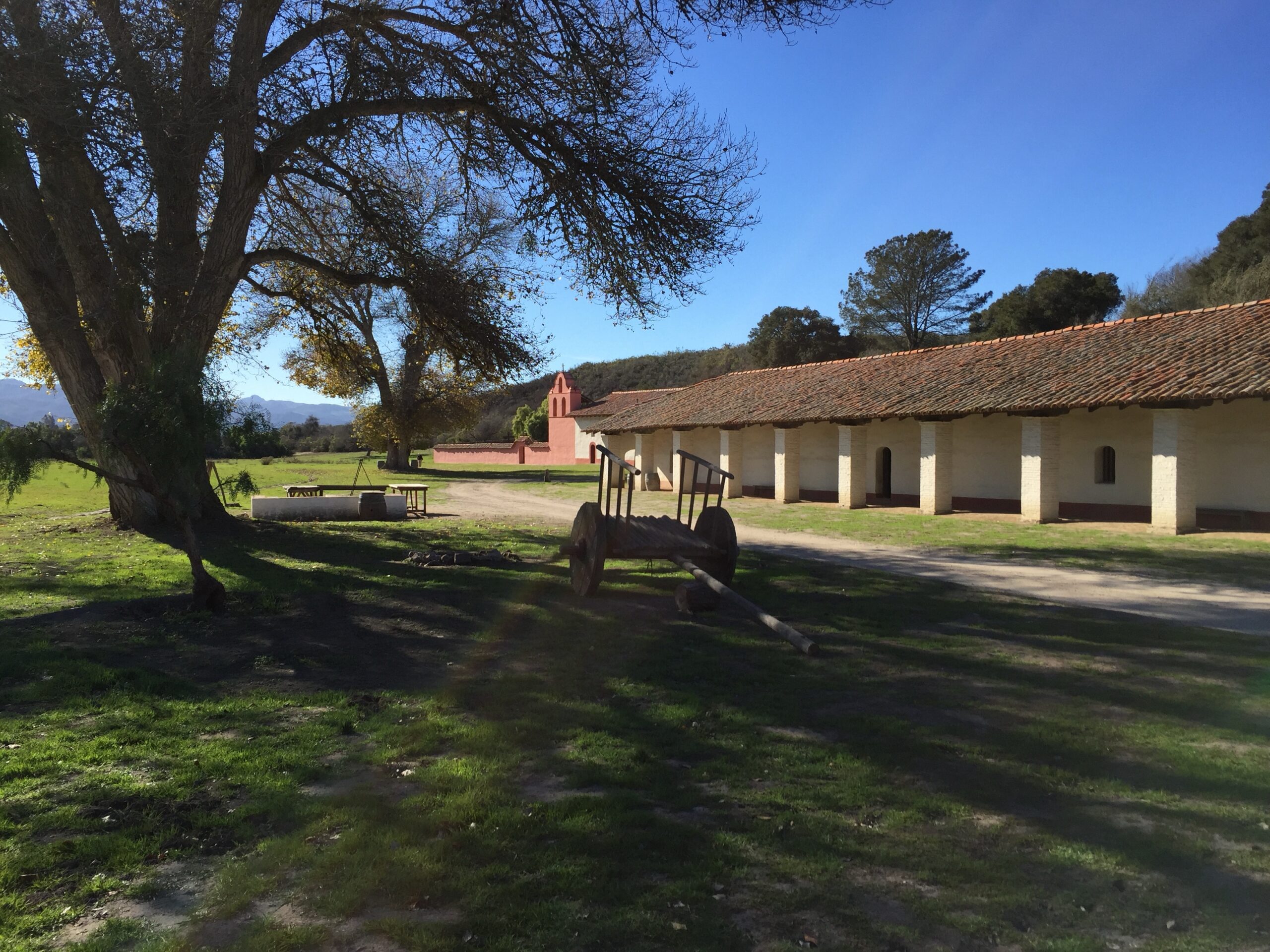
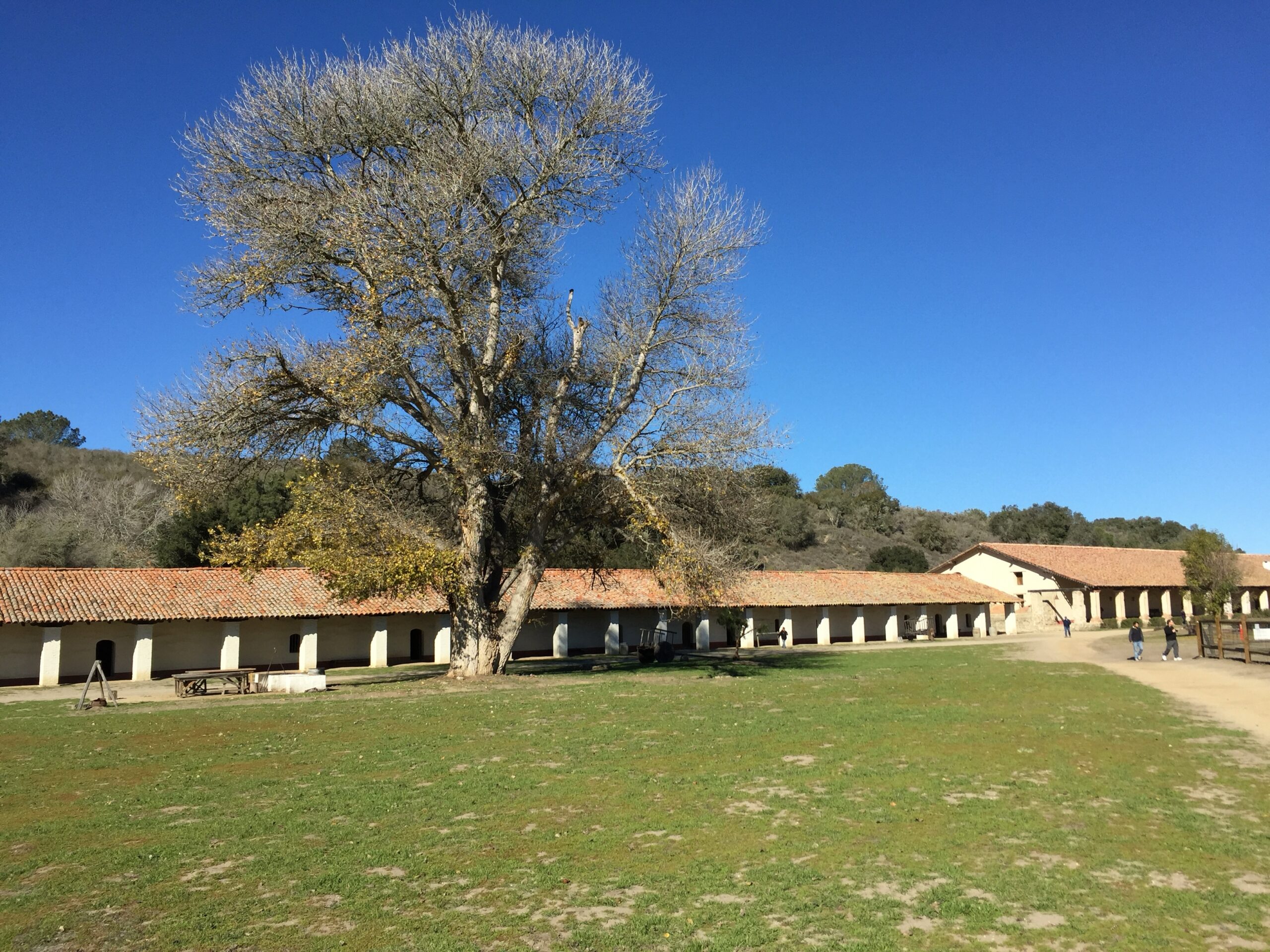
Mission La Purísima Concepción was one of the missions to which the Chumash were brought. It was founded in 1787 along the inland route between Santa Barbara and San Luis Obispo. Along with missions such as San Luis Obispo (1772), San Buenaventura (1782), Santa Bárbara (1786), and Santa Ynez (1804), La Purísima Concepción was part of the five missions established within Chumash territory. Many Chumash people were moved into these missions where they lived, worked, and were converted under the mission system.
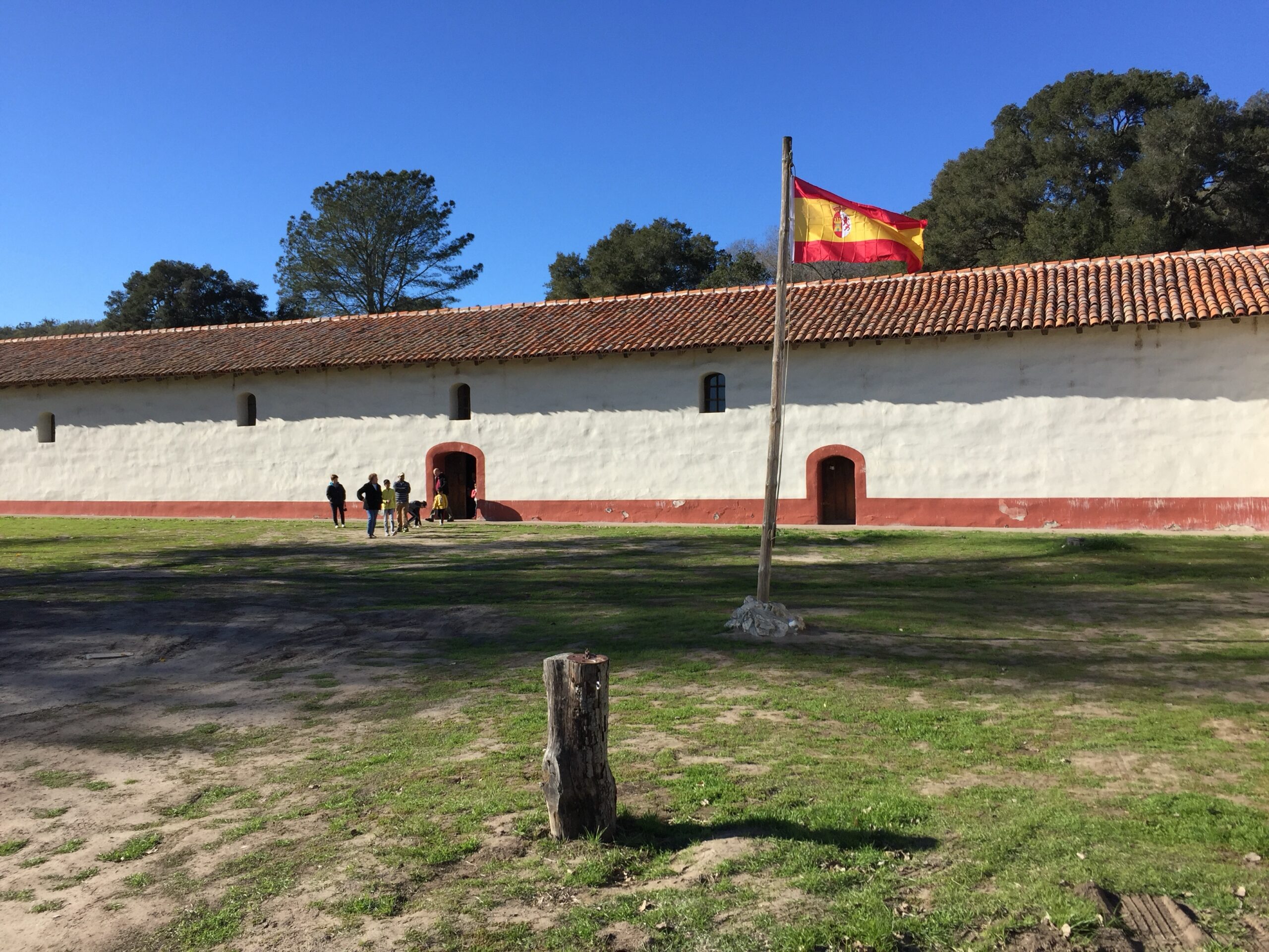
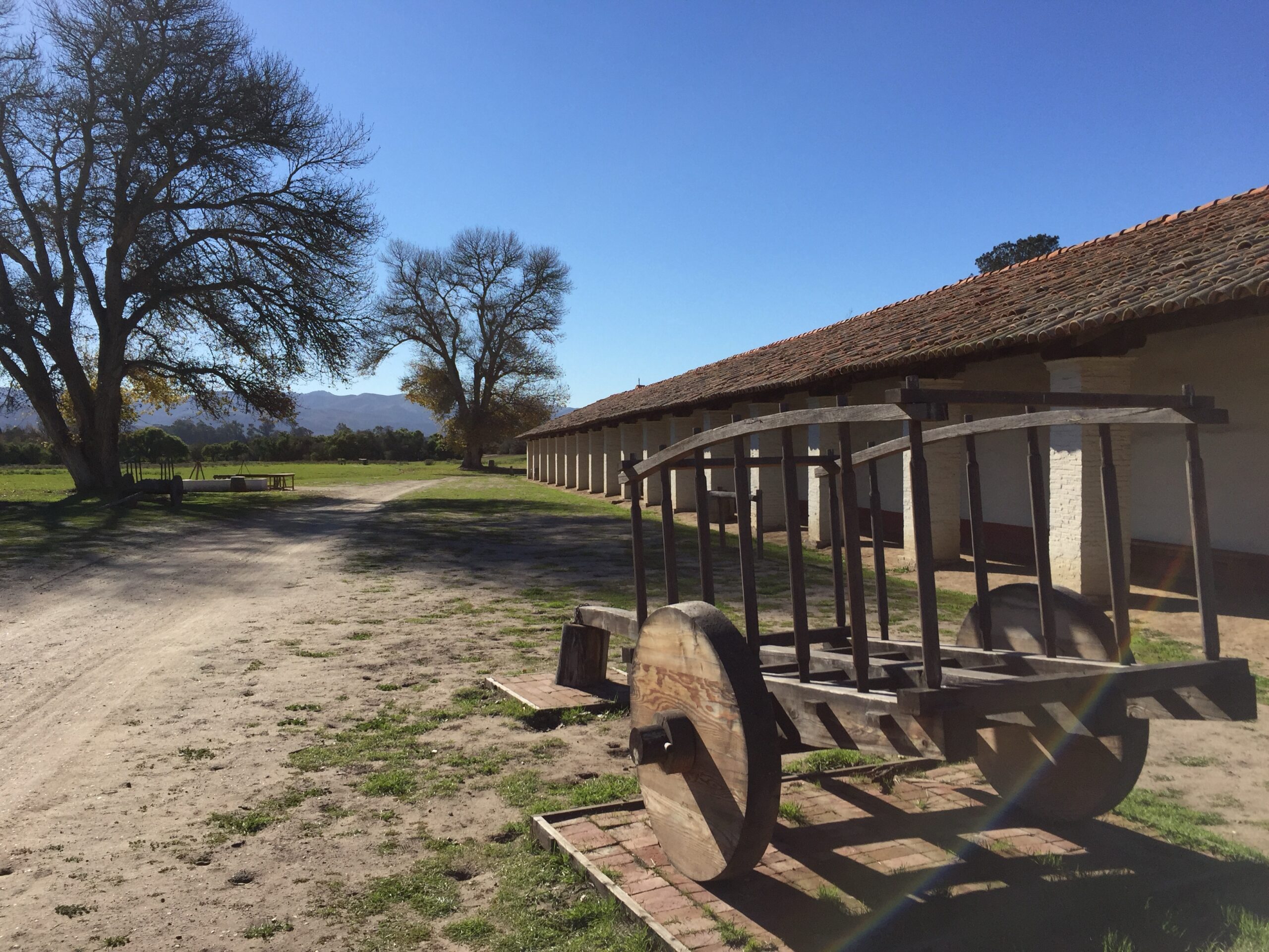
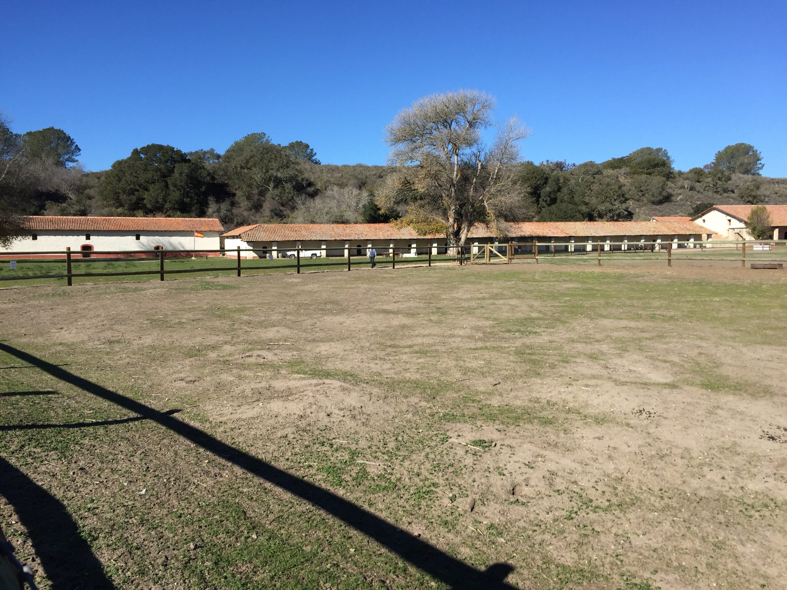
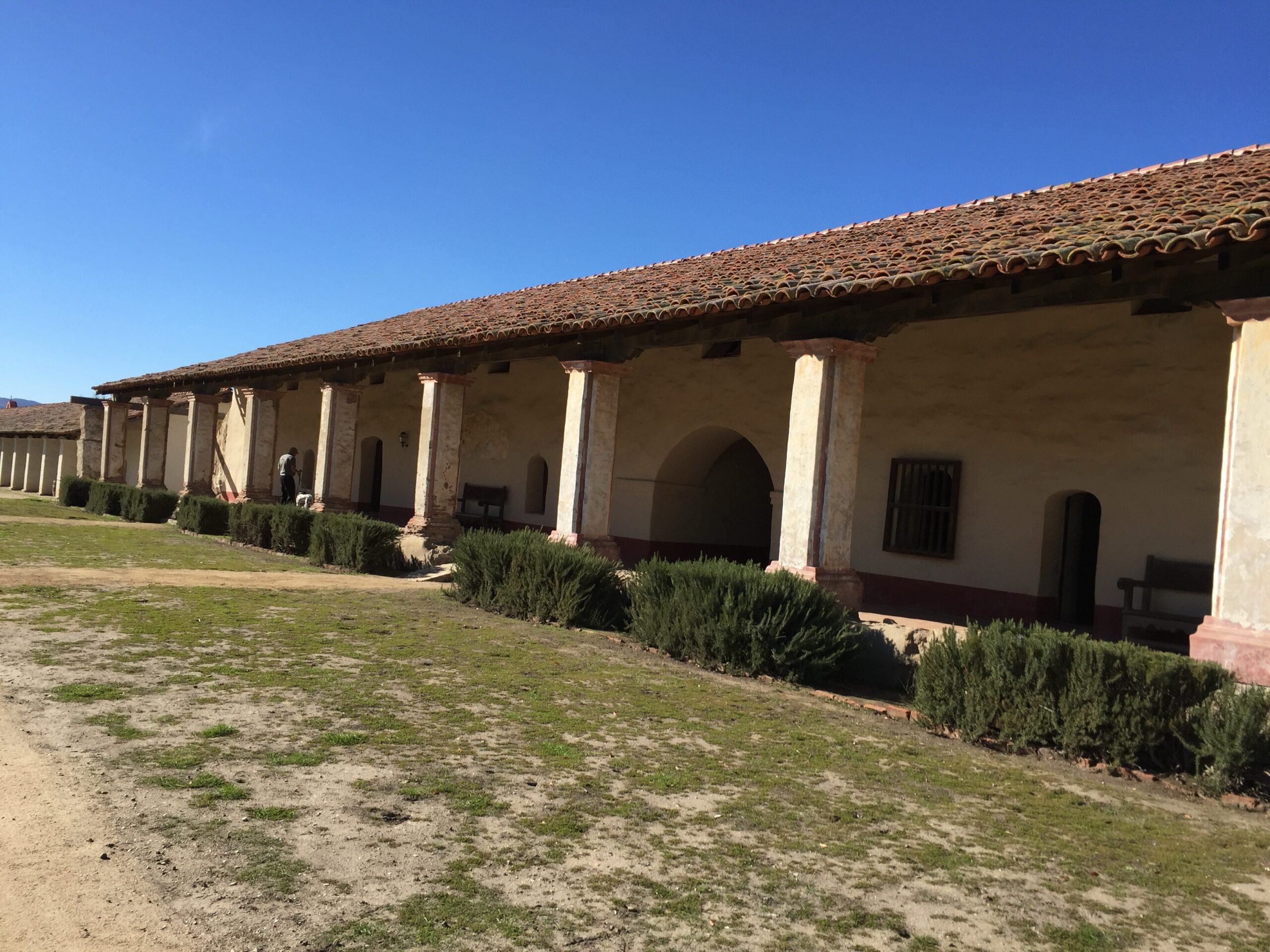
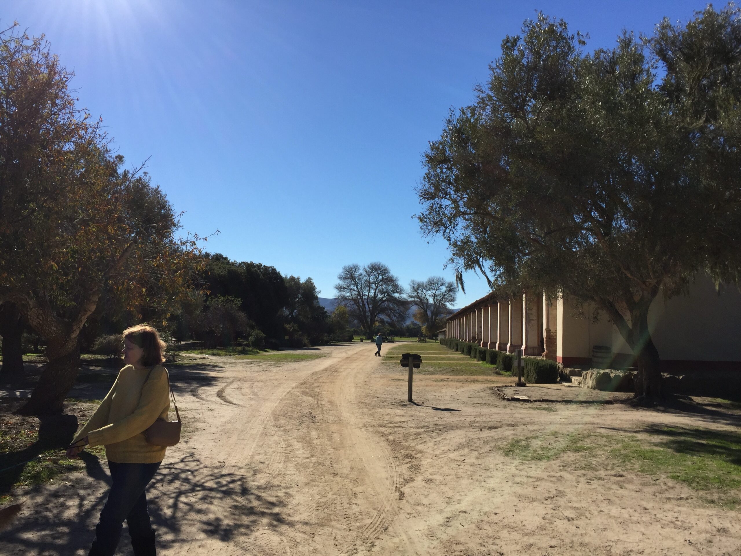
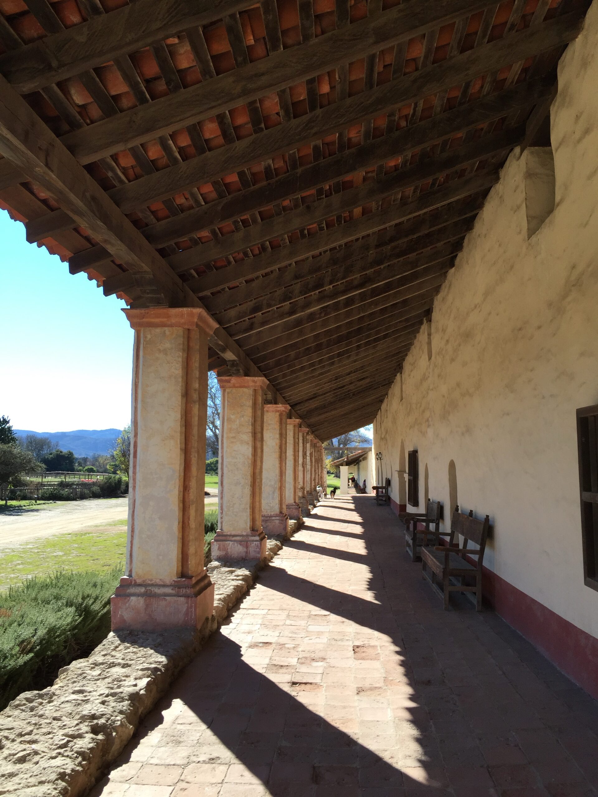
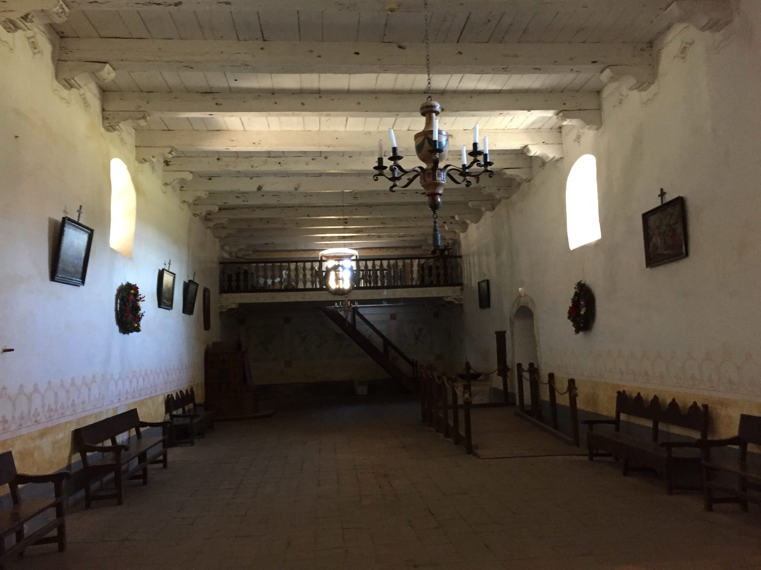
The missions, including La Purísima, spurred major changes in Chumash life and culture, and the Chumash Revolt of 1824 notably included La Purísima as a central location of indigenous resistance.wikipedia+3
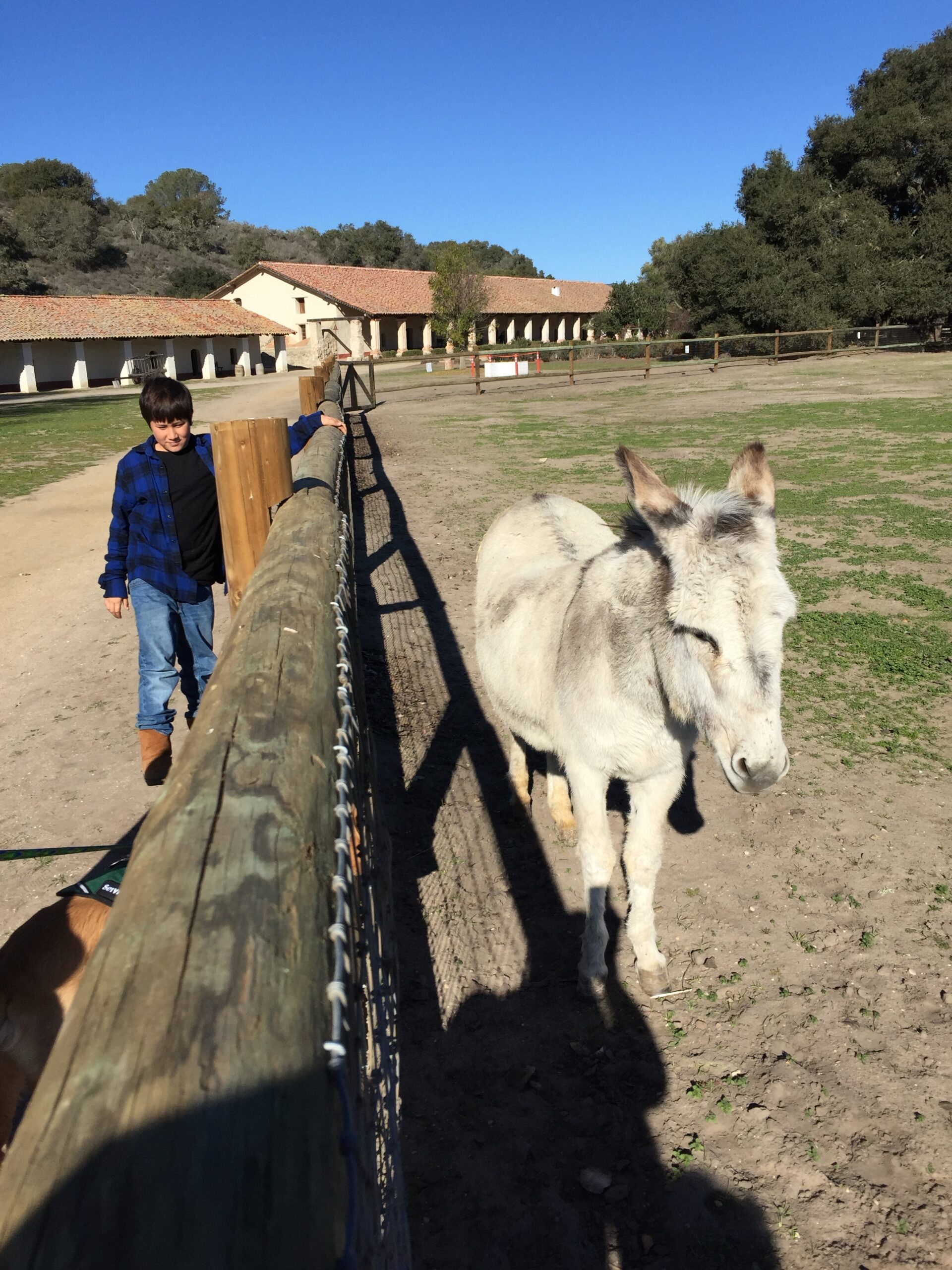
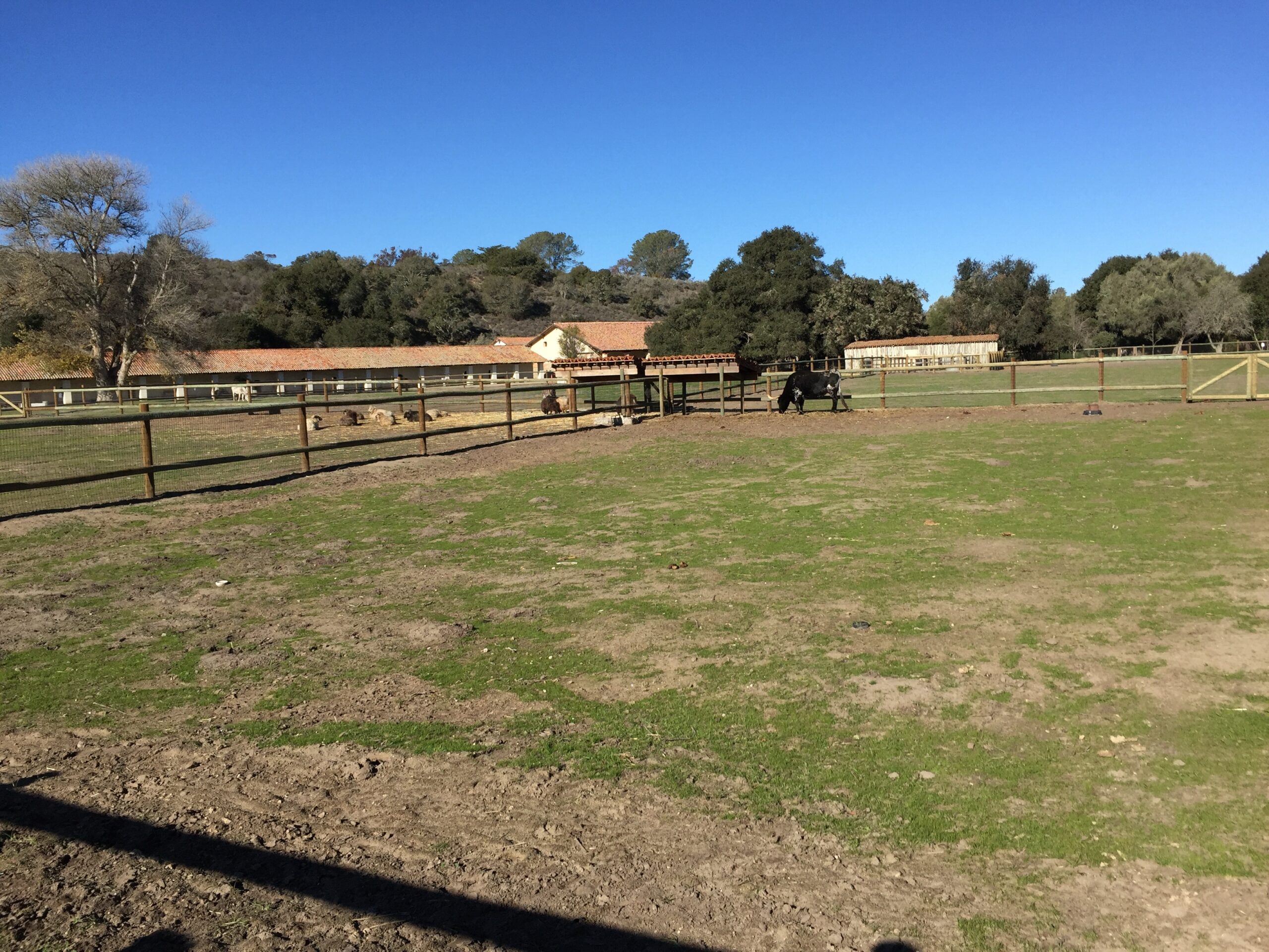
The Chumash moved into mission settlements from 1772 onward, often under duress, learning new crafts and agriculture introduced by the Spaniards. With Mexican independence in 1821, the missions were secularized, but many Native Americans continued working on large ranchos carved from former mission lands. The legacy of both the indigenous maritime heritage and Spanish colonization remains central to the cultural and historical identity of Cayucos and Morro Bay today.
In summary:
- Indigenous roots: Chumash plank canoe (“Tomol”) technology and coastal village culture with continuous occupancy over thousands of years.
- Spanish contact and colonization: Juan Rodríguez Cabrillo’s 1542 expedition, followed by 18th-century missions built by or involving the Chumash, marking the start of profound cultural transformation.
- Cultural synthesis: The historic blending of indigenous and Spanish influences shaped Cayucos’ name, maritime traditions, and settlement patterns.
This indigenous and Spanish heritage provides the foundational history behind Cayucos and Morro Bay, witnessed in the coastal culture, local history, and continuing present-day identity.tanamatales+5


