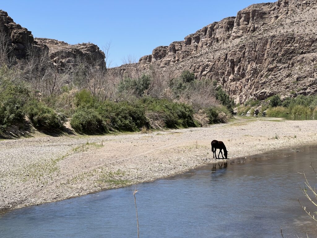
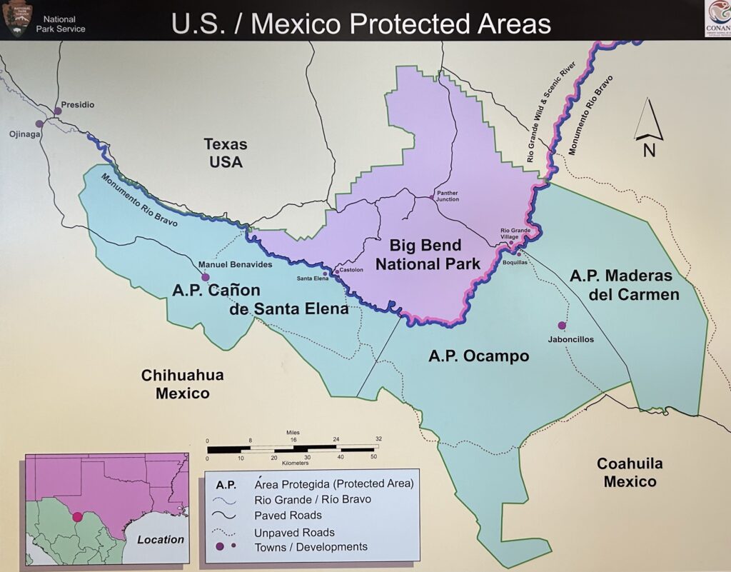
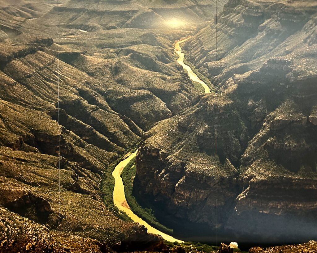
Big Bend is named for its location on the great curve of the Rio Grande. The river is a natural boundary between the United States and Mexico.
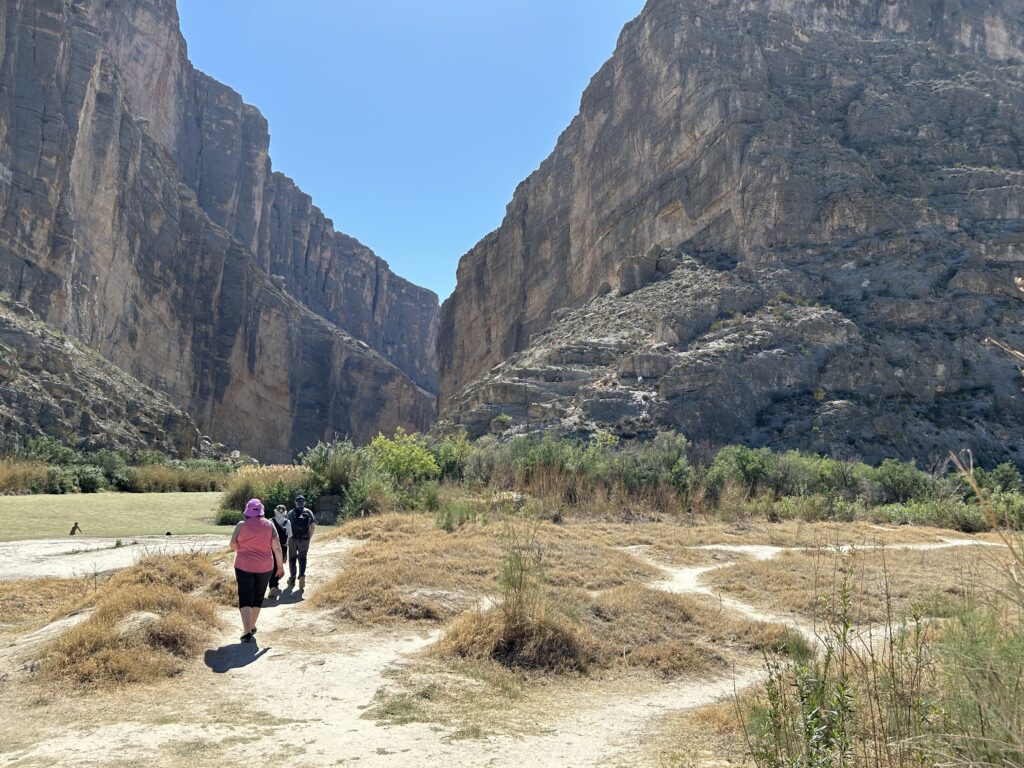
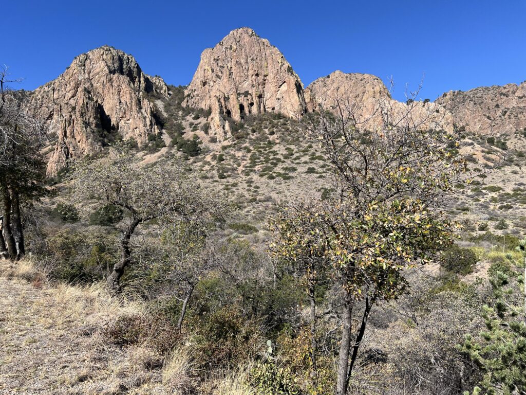
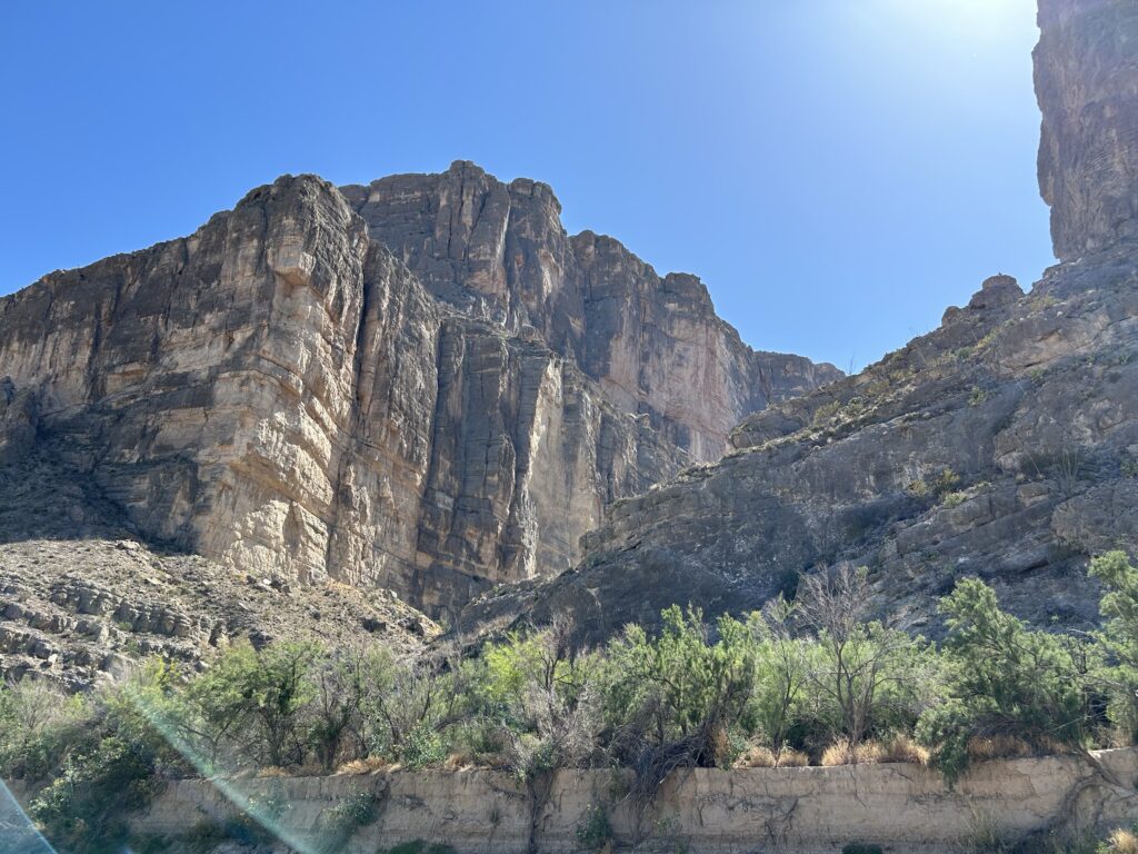
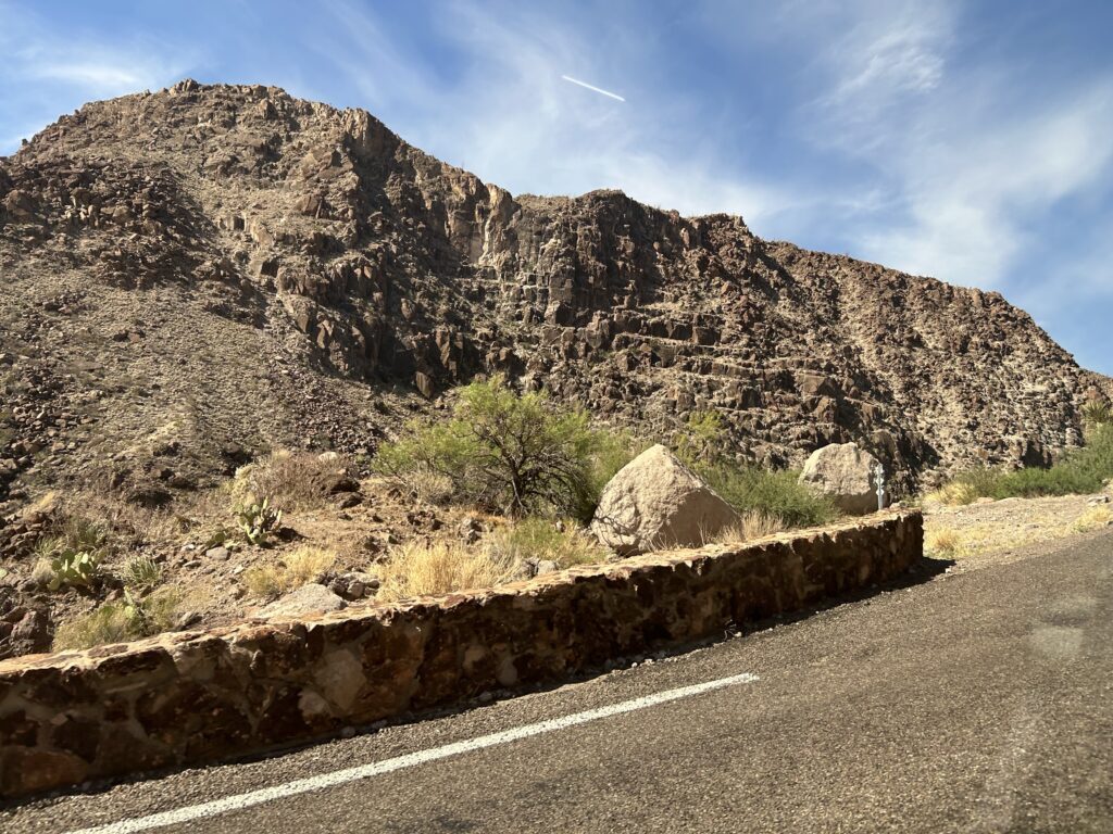
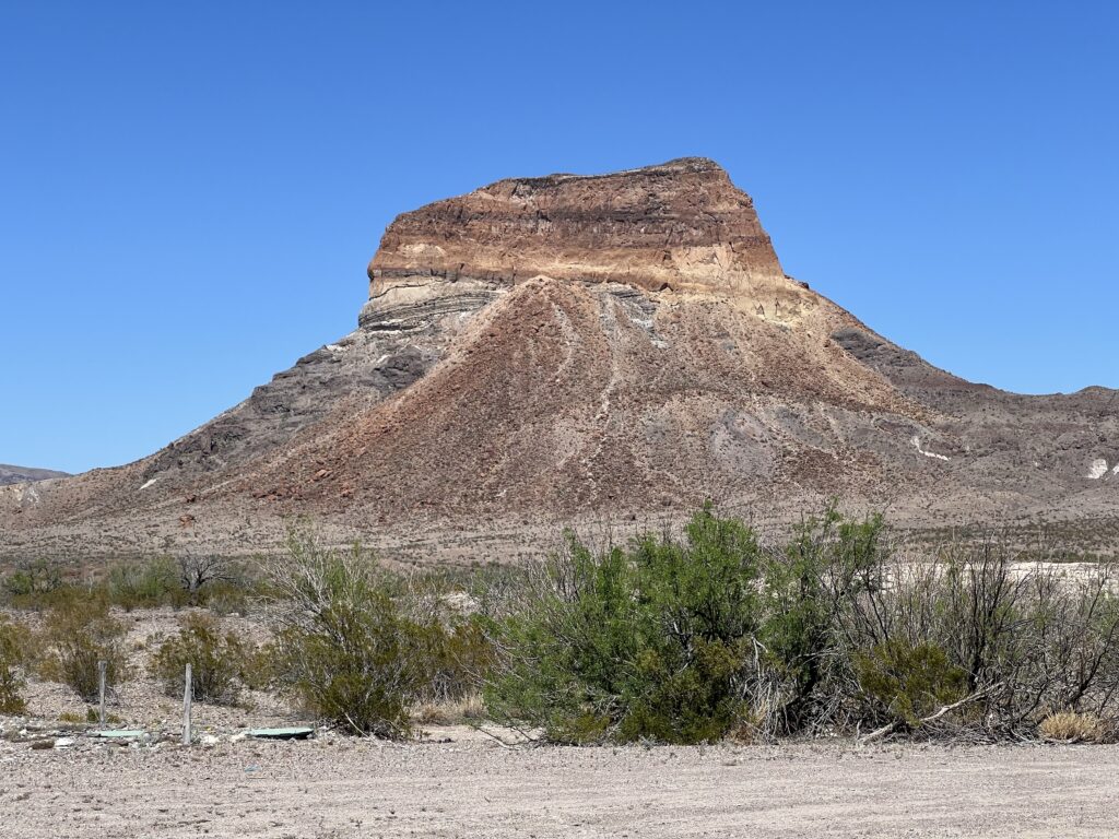
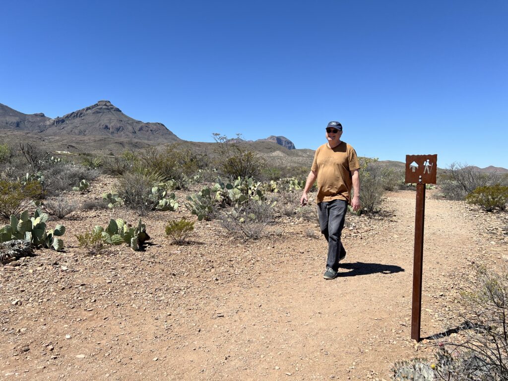
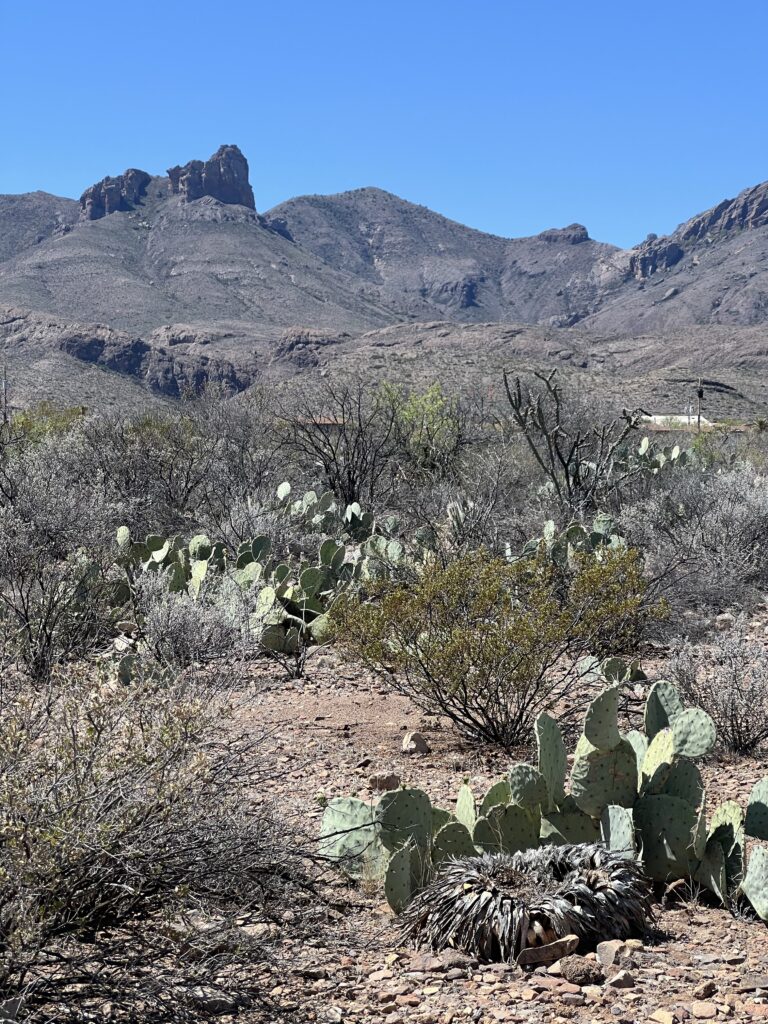
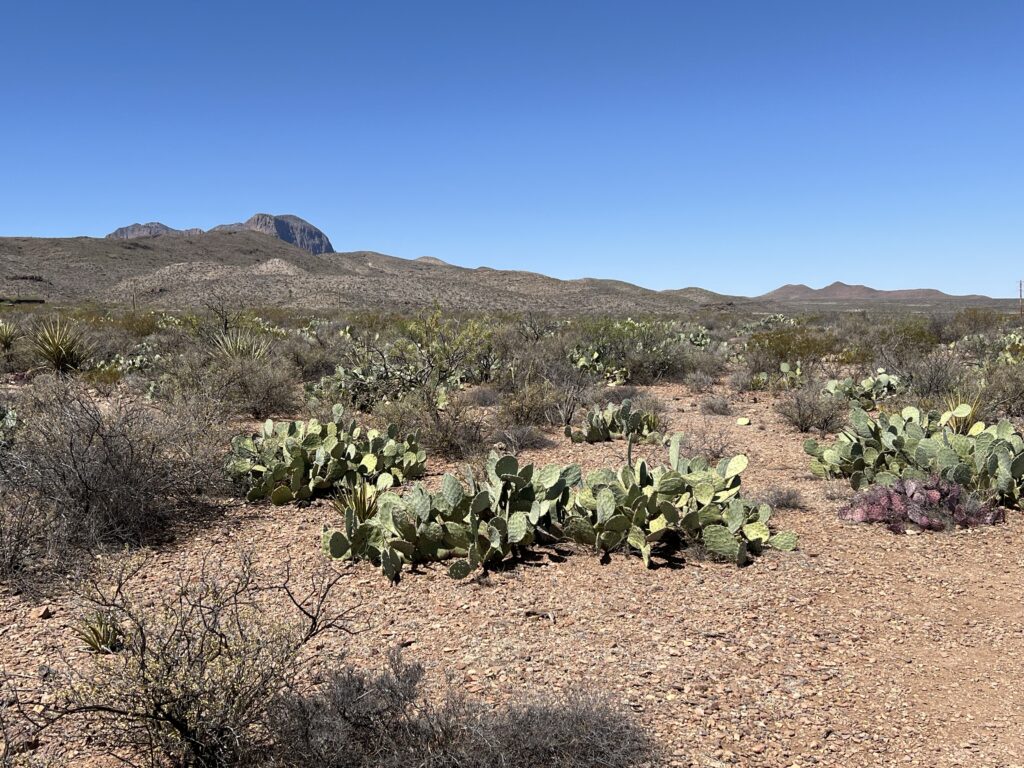
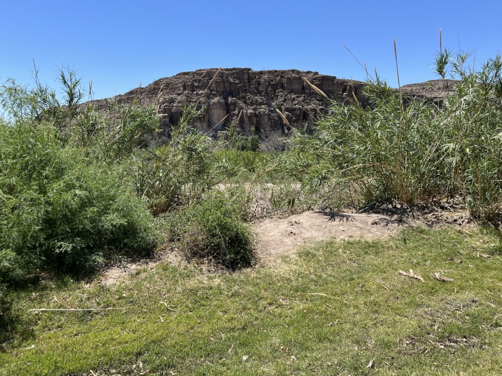
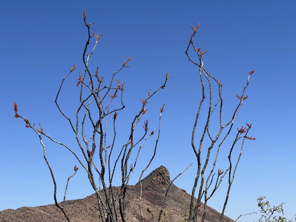
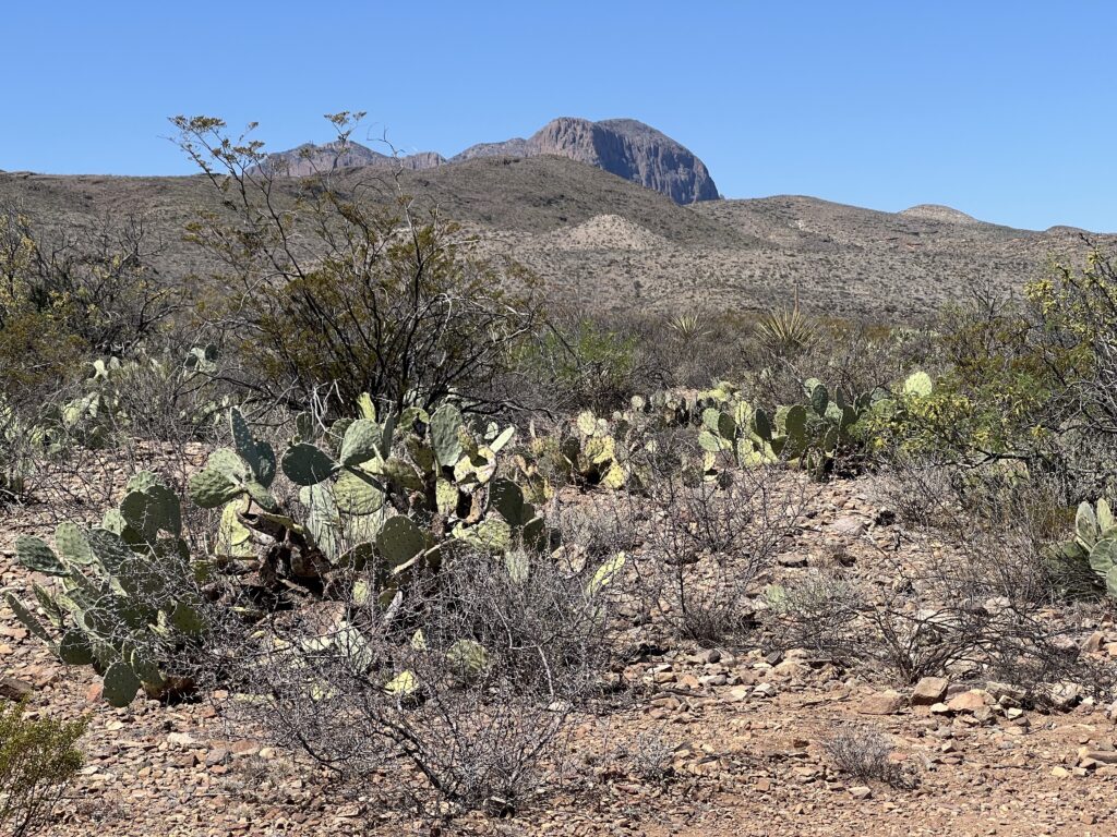
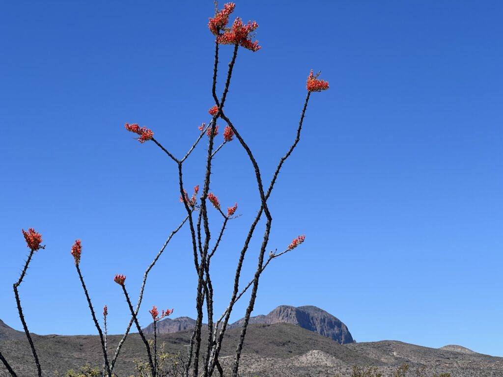
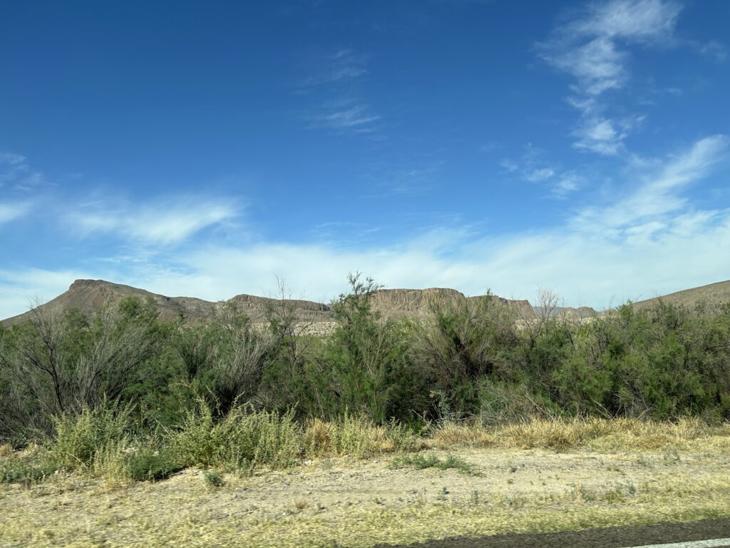
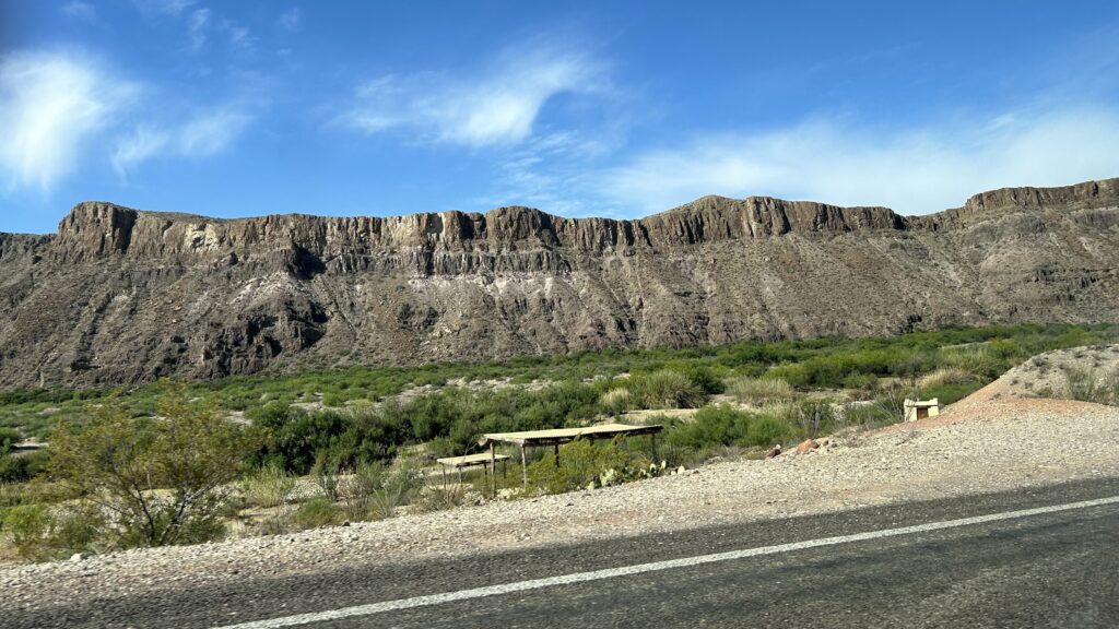
The park contains the most representative area of the Chihuahuan Desert ecosystem in the U.S. Here, the river, desert, and mountain environments support a rich diversity of plants and animals. This is a landscape of dramatic geological features, and Cretaceous and Paleogene (Tertiary) fossils. Desert covers about 80 percent of the park. Big Bend National Park lies in the northern end of the Chihuahuan (chih-WAH wahn) desert. This vast desert (175,000 square miles) extends into southern New Mexico and southeastern Arizona, and nearly 850 miles into Mexico. Big Bend represents the largest protected portion of the Chihuahuan desert in the United States.
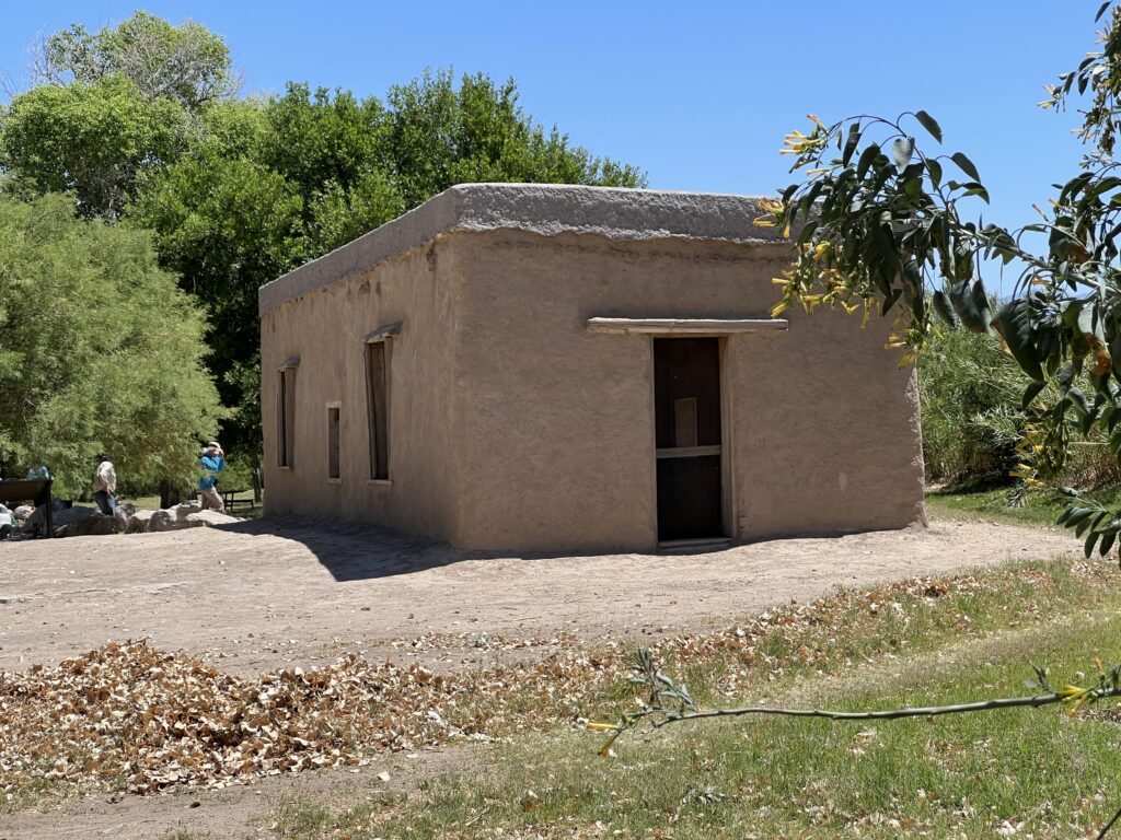
The story of human occupation dates back nearly 12,000 years. Six flags have flown over the Big Bend: Spain, France, Mexico, The Republic of Texas, The Confederacy, and The United States of America.
Big Bend National Park was gifted to the federal government by the state of Texas for several reasons:
The state of Texas had acquired the land that now makes up the national park in the 1930s, establishing it first as Texas Canyons State Park and then renaming it Big Bend State Park1. However, the state recognized that the area was of national significance and would be better preserved and managed as a national park2.
Mexico had not yet established any national parks across the Rio Grande from Big Bend at the time it was gifted to the U.S. federal government in the 1940s14. They did so later.
A large portion of the current Big Bend National Park was privately owned land that the state of Texas purchased for $1.5 million in 1942 and then gifted to the federal government to establish the national park in 19432.
The national park today does not contain any private land within its boundaries.
The state park adjacent to Big Bend National Park, called Big Bend Ranch State Park, is not better than the national park. It is a separate state-managed protected area that complements the national park, but does not have the same national significance or level of development and visitation as the national park4.
In summary, Texas gifted the land that became Big Bend National Park to the federal government because the state recognized its national importance. But Mexico had not yet established any protected areas across the border. The national park does not contain any private land within its boundaries.124
The Big Bend region has a long and complex history involving various groups:
The Comanche people were a significant presence in the Big Bend area, with the Comanche Trail running through the region as they traveled to raid Spanish settlements3. The Mescalero Apache also invaded the area and displaced the earlier Chisos Indians2.
The Comanche were a powerful and nomadic tribe that had long raided Spanish and Mexican settlements in the region145. After Texas broke away from Mexico in the 1830s, the Comanche continued to raid across the border, targeting Mexican settlements and ranches145.
The increased American presence and settlement in Texas following the Mexican-American War in 1848 disrupted the Comanche way of life4.
The loss of their traditional hunting grounds and the decline of the buffalo population forced the Comanche to become more reliant on raiding Mexican settlements for horses and other resources4.
This led to increased conflict between the Comanche and the U.S. government, culminating in the Red River War of 1874-1875 (far from Big Bend) which ultimately led to the confinement of the Comanche to reservations4.
The Mexican settlers in the Big Bend area suffered from these Comanche raids, with their livestock and property frequently targeted15 until the Red River War.
The Red River War of 1874-1875 was a military campaign launched by the U.S. Army to forcibly relocate the Comanche, Kiowa, Southern Cheyenne, and Arapaho tribes from the Southern Plains to reservations in Indian Territory (present-day Oklahoma)1234.
Prior to the war, the Medicine Lodge Treaty of 1867 had established reservations for these tribes, but many continued to raid white settlements, using the reservations as safe havens123. Increased white settlement and the near-extinction of the buffalo herds by commercial hunters further inflamed tensions45.
In 1874, the U.S. Army launched a coordinated offensive, with several columns converging on the Texas Panhandle region where the tribes were believed to be45. Over the course of several months, the well-equipped Army engaged the tribes in around 20 battles and skirmishes, keeping them on the run until they could no longer resist45.
The decisive battle occurred in Palo Duro Canyon, where Colonel Ranald Mackenzie’s troops destroyed the Comanche and Kiowa villages, dealing a crippling blow to their ability to continue fighting45. By June 1875, the Comanche leader Quanah Parker and his band surrendered at Fort Sill, marking the end of the Red River War and the confinement of the Comanche to reservations5.
It is important to note that the Red River mentioned in the context of this war is not the Rio Grande, where Big Bend National Park is, but rather a different river system that flows eastward from the Texas Panhandle into Oklahoma and Arkansas1
When the Big Bend region was part of Mexico, Spanish conquistadors and missionaries arrived in the 16th century, leading to encounters and conflicts with the native peoples3. After Texas broke away from Mexico in the 1830s, the area saw an influx of Tejano farmers and U.S. pioneers3.
The search results do not mention any specific agricultural products coming from the Big Bend National Park area itself. However, the broader Big Bend region is known for its rugged, arid landscape that is not particularly conducive to large-scale agriculture13. The area was historically used more for ranching and mining than intensive farming3.
In summary, the Big Bend region has a long history of interactions between Native American groups, Spanish colonists, Mexican settlers, and eventually Texan and American pioneers. Texas’ secession from Mexico impacted the demographics and land use in the area, but the harsh environment has limited agricultural development within the boundaries of the current national park.
The national park or protected area across the Rio Grande from Big Bend National Park in Mexico is called Cañón de Santa Elena and Maderas del Carmen15.
The search results do not provide a specific date for when these protected areas in Mexico were established. However, they indicate that Mexico has made efforts to protect the land and ecosystems across the border from Big Bend National Park, creating these complementary protected areas5.
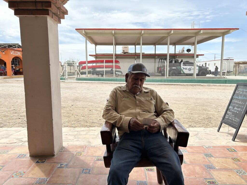
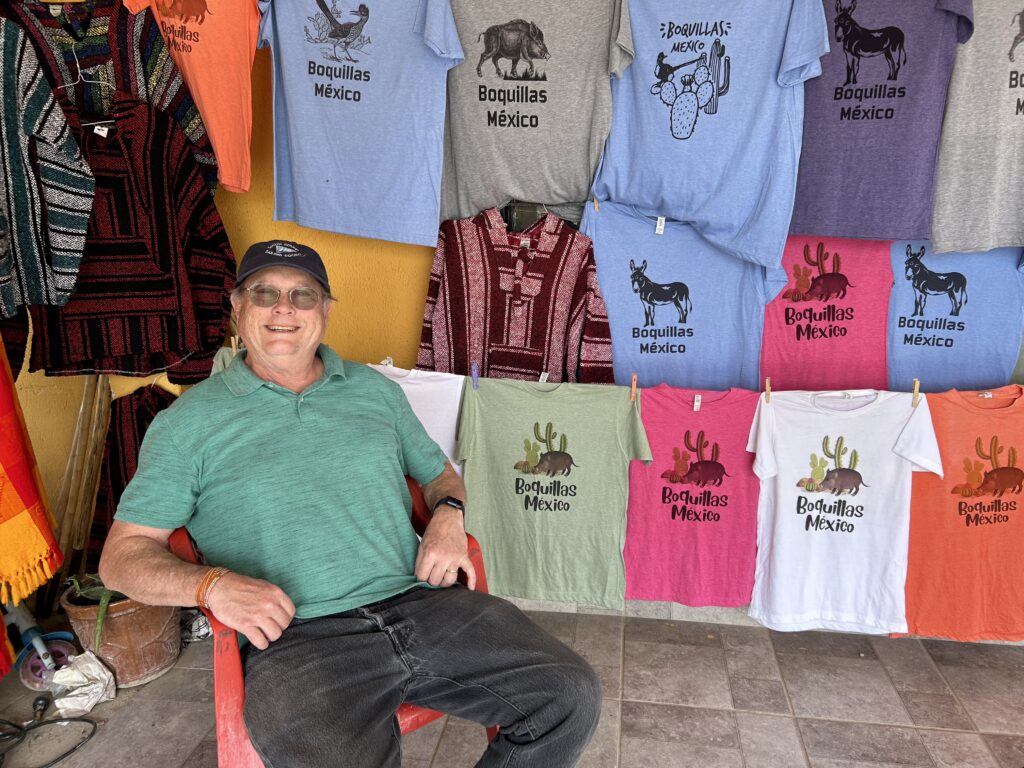
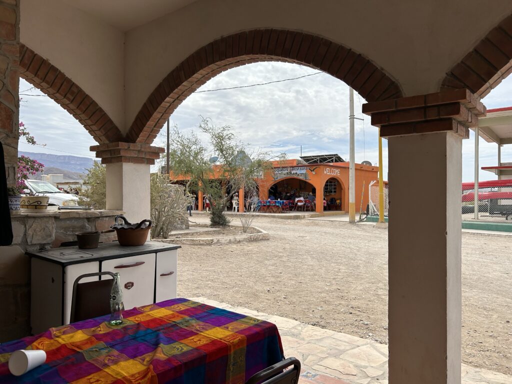
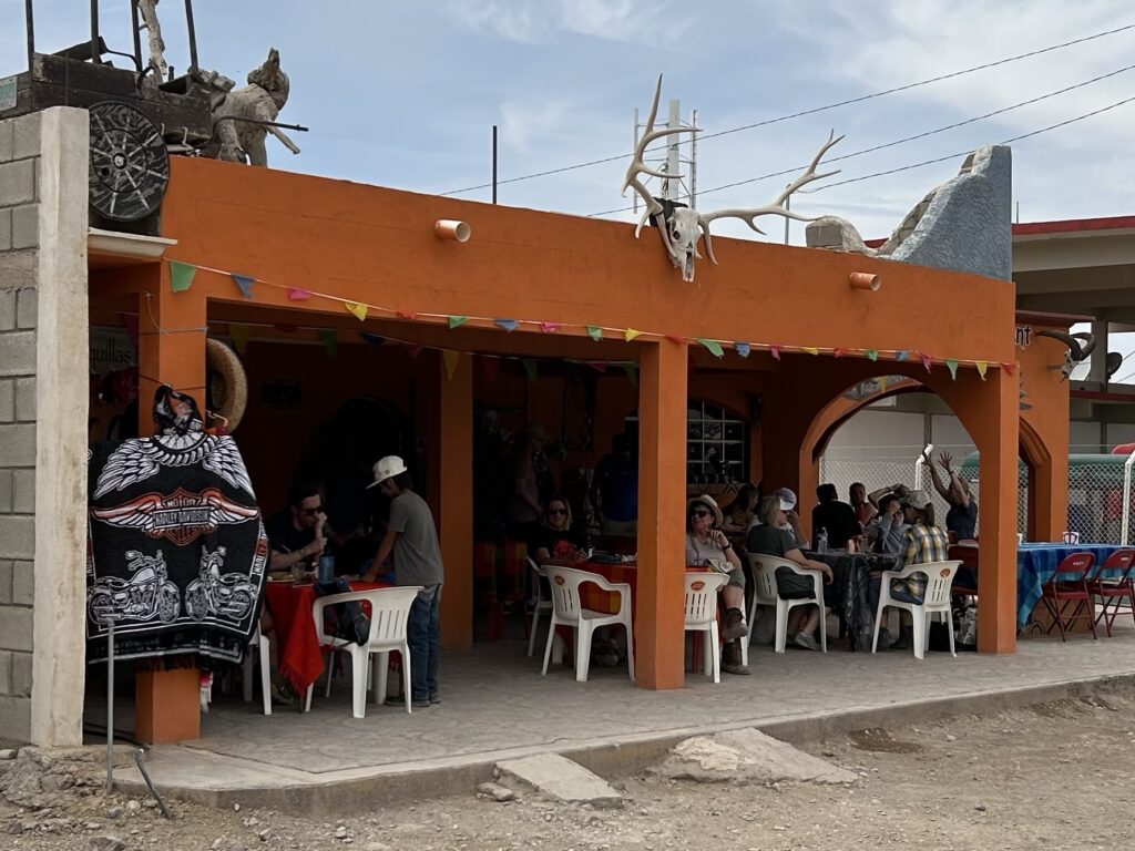
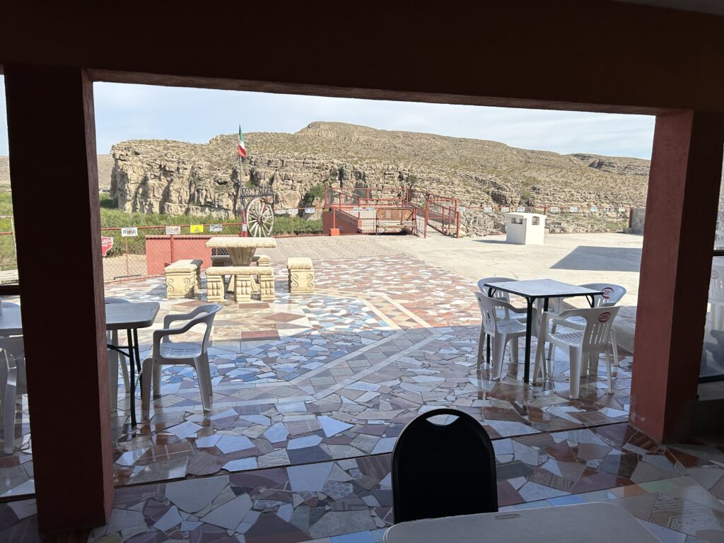
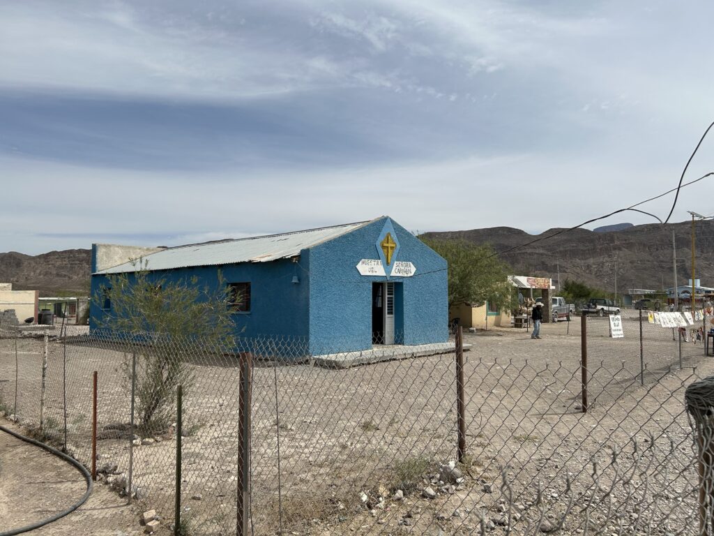
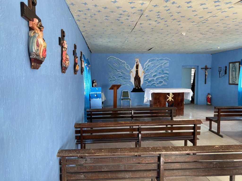
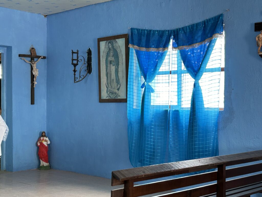
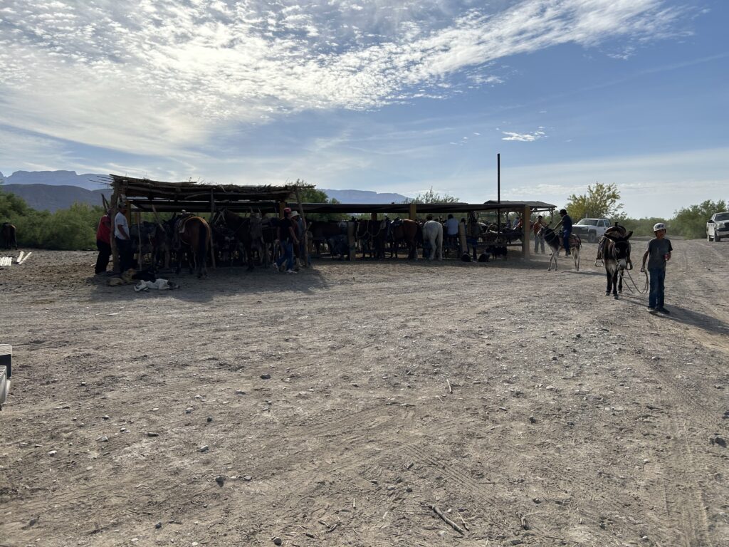
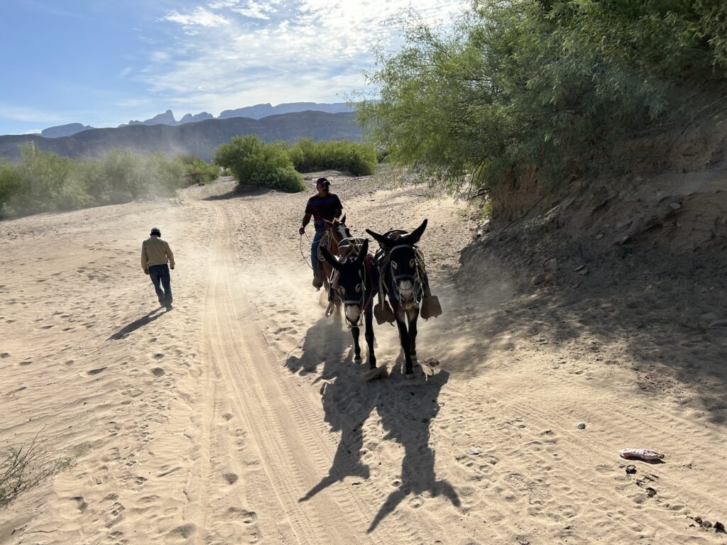
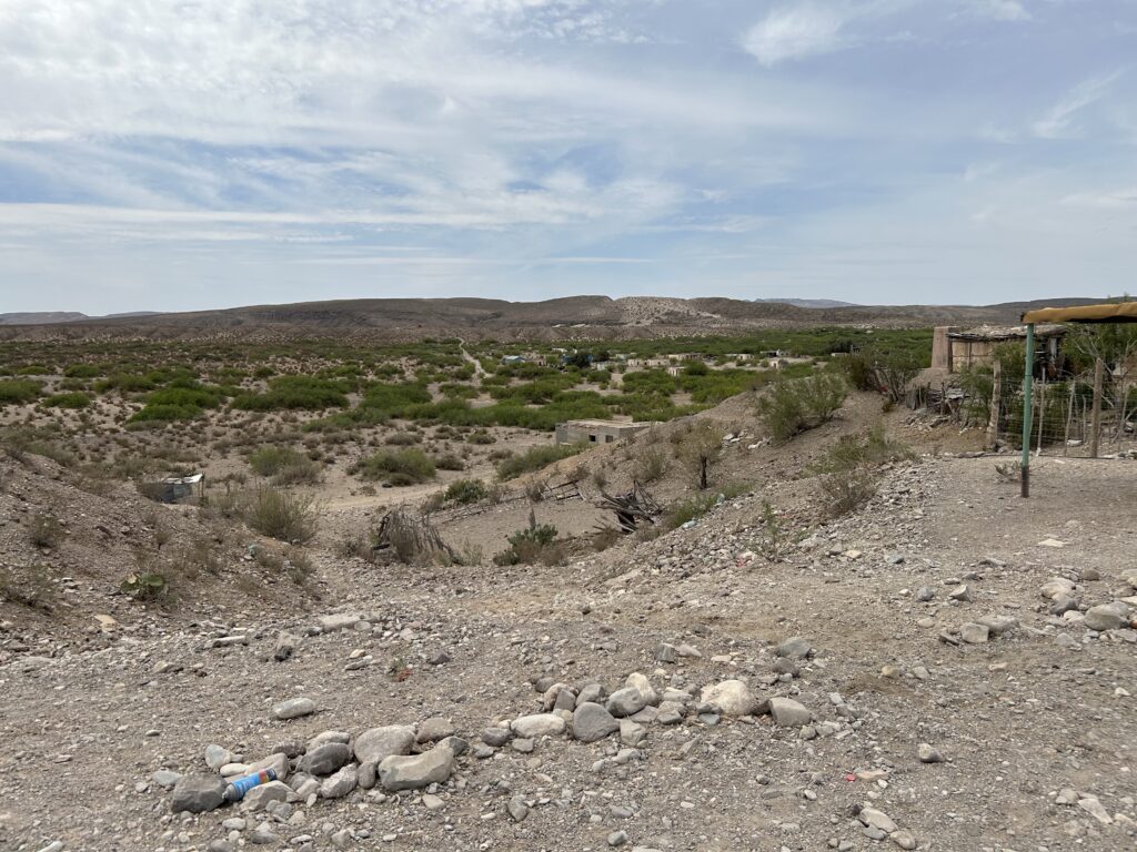
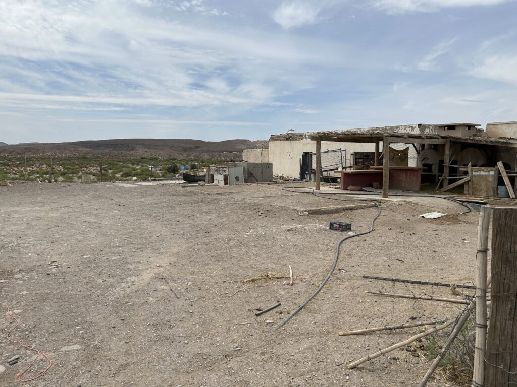
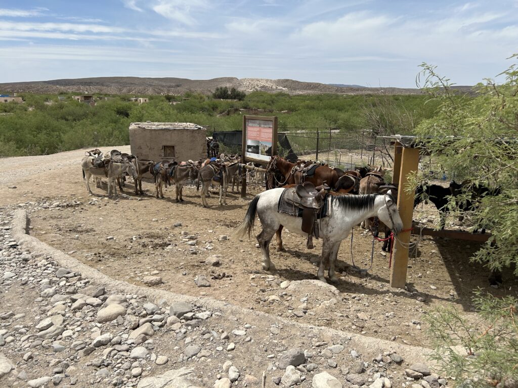
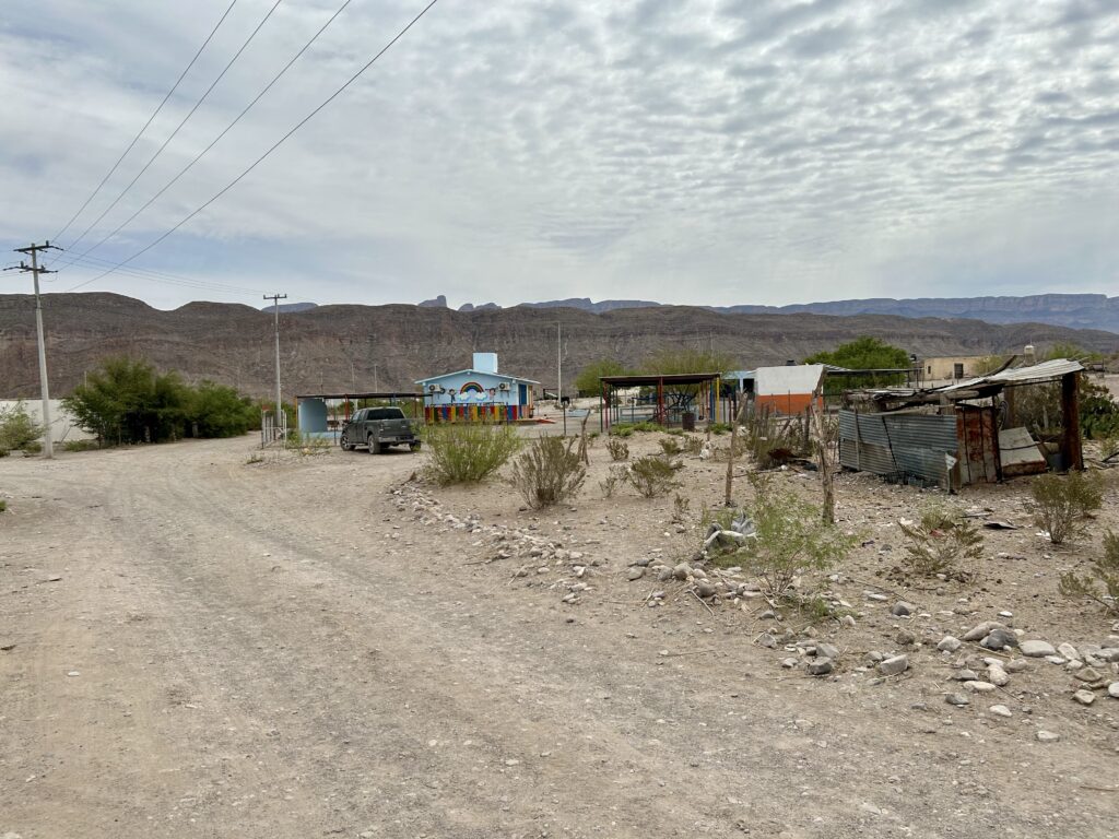
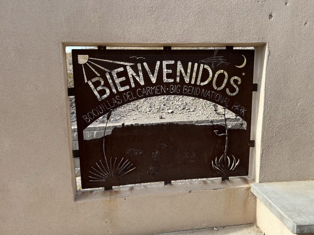
As for accommodating visitors coming from Big Bend National Park, the search results mention the small town of Boquillas del Carmen, Mexico, which is about a mile south of the U.S. border and Big Bend National Park5. This town provides a border crossing point and access for visitors to experience the Mexican side of the border region.

Boquillas del Carmen
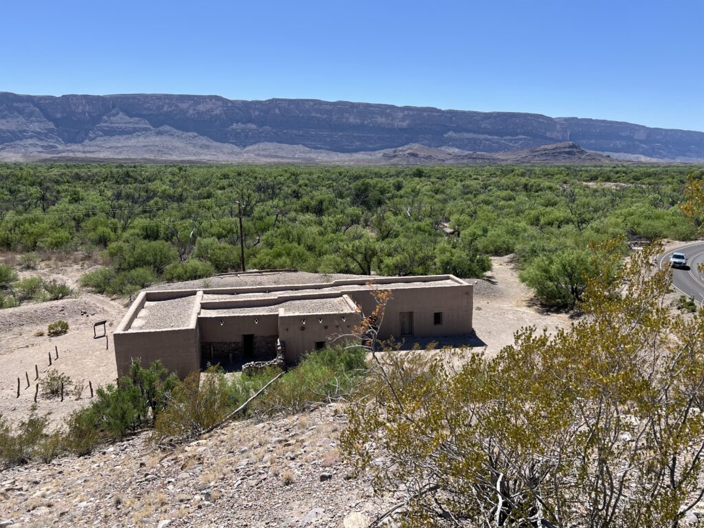
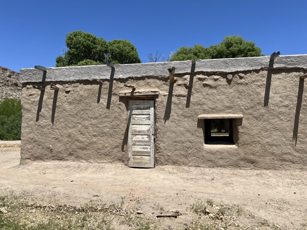
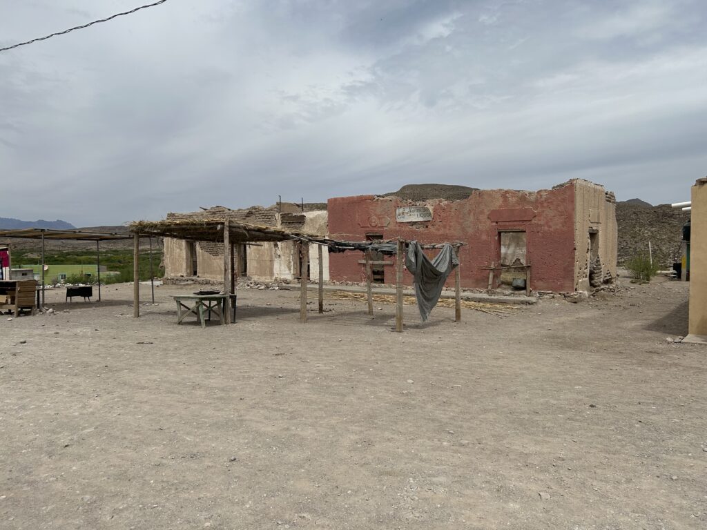
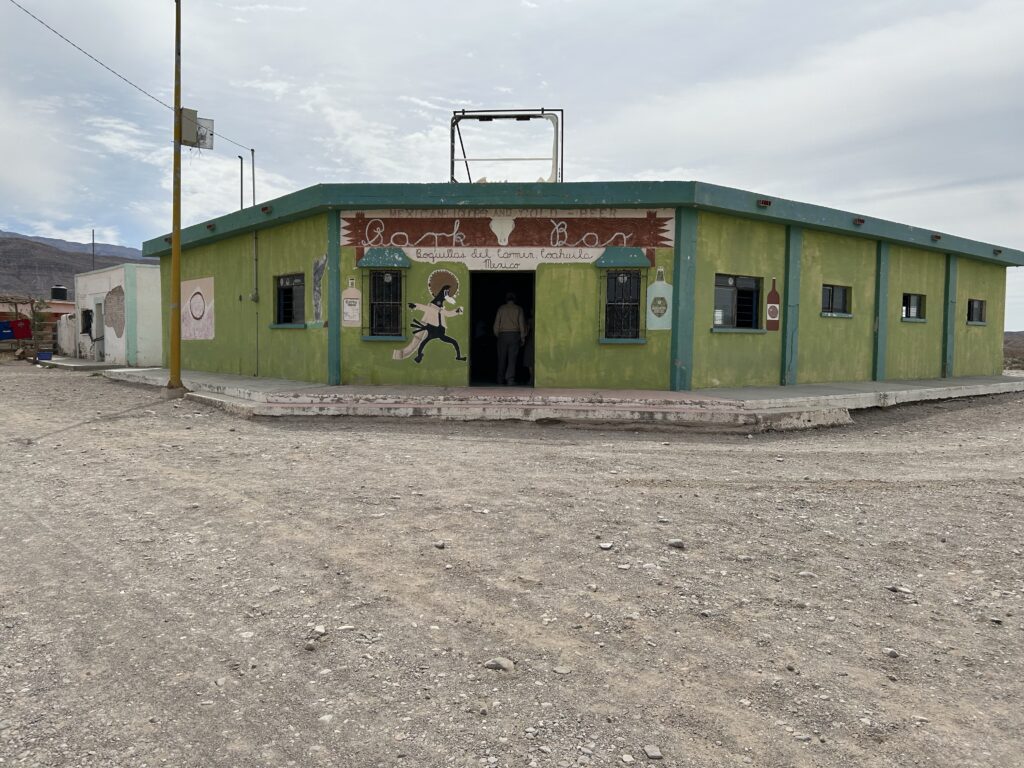
Boquillas del Carmen is a small Mexican border town located across the Rio Grande from Big Bend National Park in Texas. The town was established in the late 1800s to support mining operations in the nearby Sierra del Carmen mountains4. However, after the mining operations ceased in the 1930s, the focus shifted to tourism, with the town becoming a gateway to the Maderas del Carmen Natural Protected Area3.
The town has experienced flooding issues in the past, with the Rio Grande overflowing its banks and damaging homes and infrastructure4. This has led to some relocation efforts, though details on the extent and timing of these are not provided in the search results.
The Boquillas Port of Entry, which allows pedestrian crossings between the U.S. and Mexico, was opened in April 201312 after being closed since May 2002. It is the only unstaffed legal border crossing on the Mexico–United States border2. The port was temporarily closed during the COVID-19 pandemic but has since reopened3.
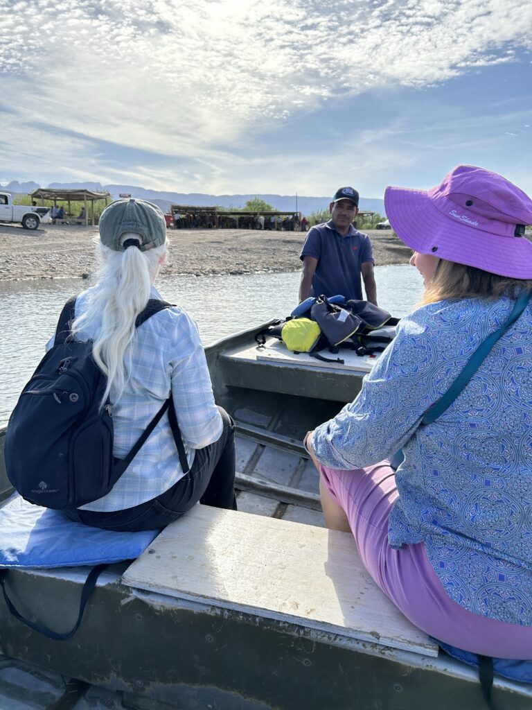
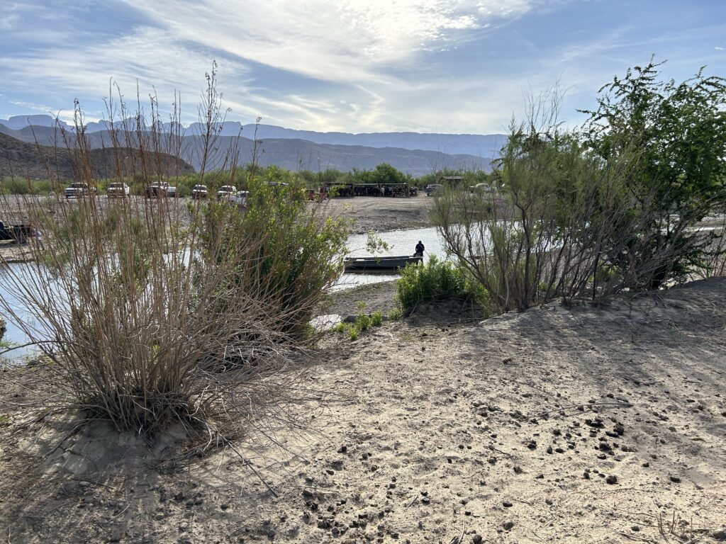
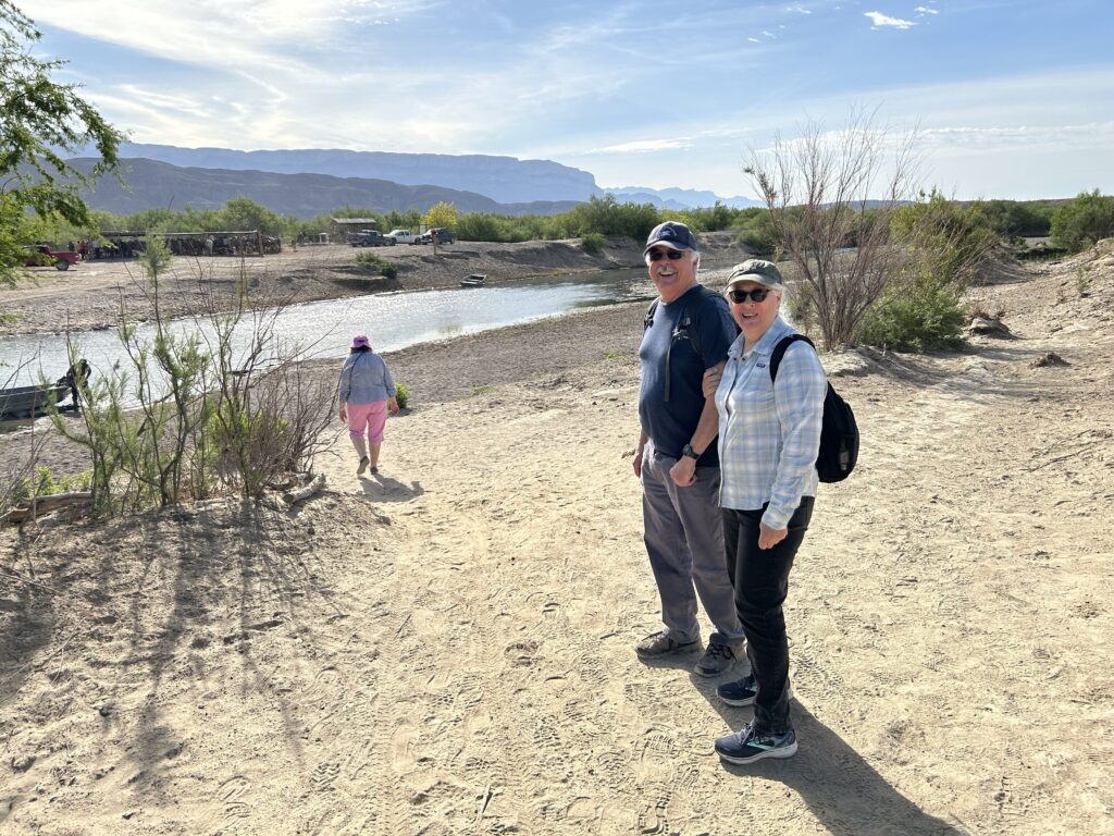
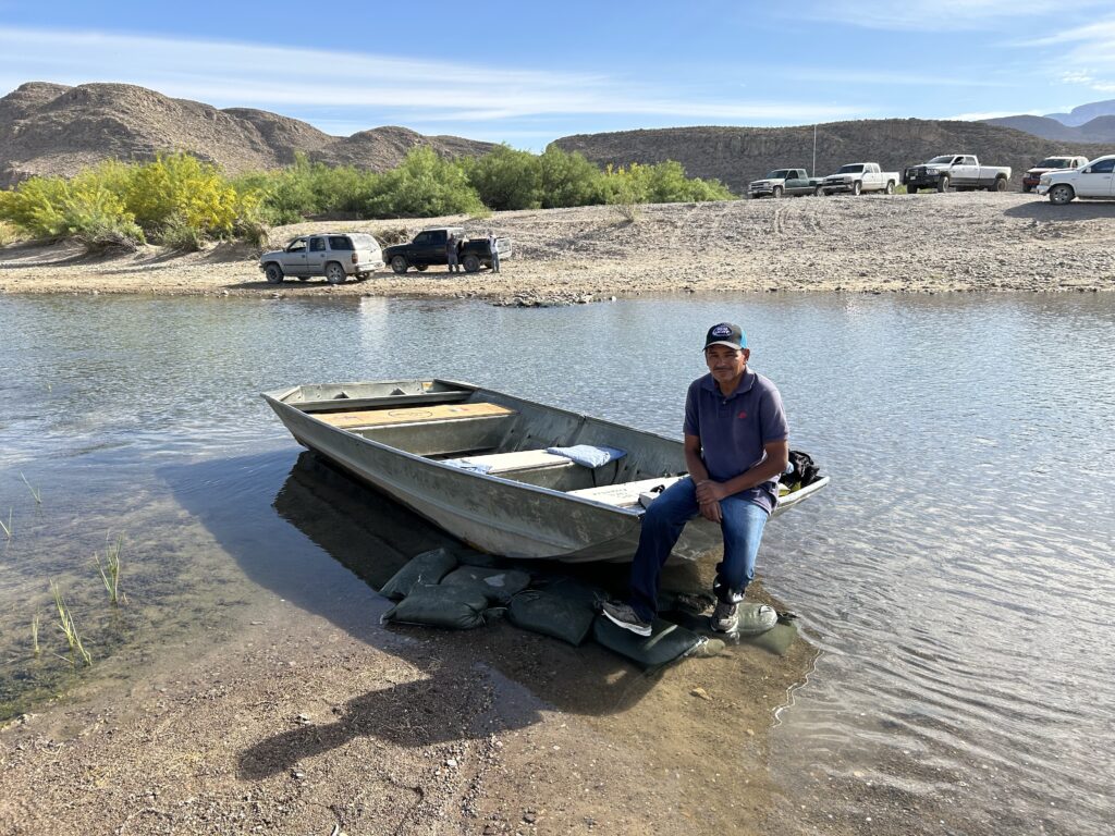
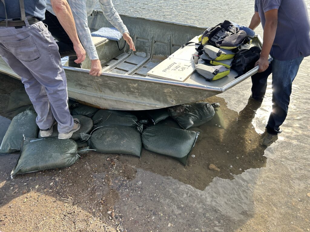
THE HISTORIC RIVER CROSSING TO BOQUILLAS
Crossing to Boquillas, Mexico can increase your understanding of the international flavor and history of Big Bend National Park. The villagers of Boquillas welcome visitors and offer the opportunity to experience life in a small rural village. Your visit will be greatly enhanced by complying with a few basic guidelines, such as:
Appropriate documentation is a necessary requirement to properly enter Mexico and reenter the United States. Safeguard all documents and check with the Ranger for the required documentation.
• Weapons and ammunition are prohibited.
Note the hours of operation of the crossing facility. You may cross into Mexico and return to the United States only during the posted hours of operation.
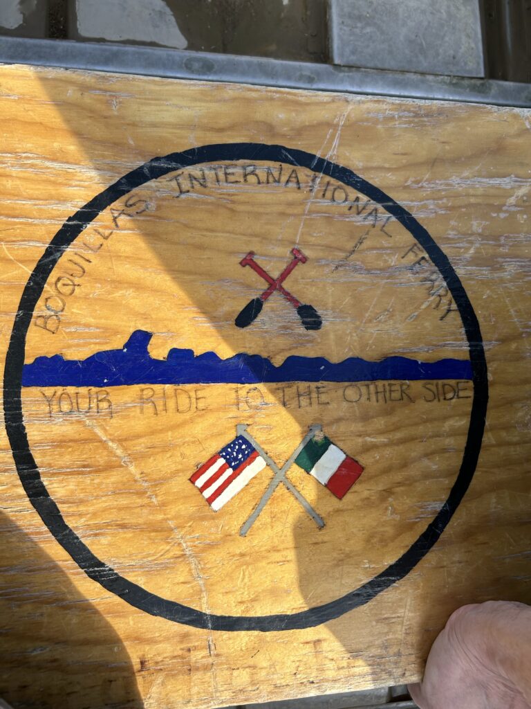
Crossing the Rio Grande is best accomplished by the commercially operated row boat. Remember that wading or walking across the river may be hazardous as river currents and depths may be misleading.
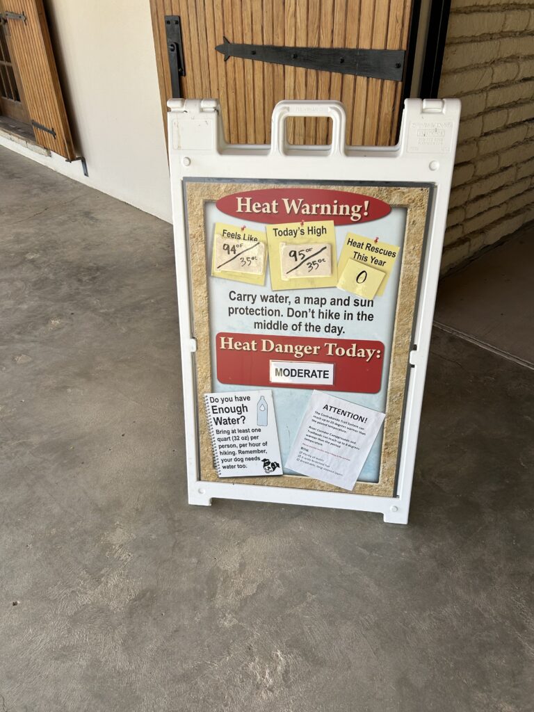
Carry drinking water. Some of the hottest daytime temperatures in the national park have been recorded along the Rio Grande Village and Boquillas corridor. Be sure to drink plenty of water!
Importing certain items from Mexico back into the US is prohibited.
Rocks, minerals, archaeological items, and wildlife products cannot be purchased, imported, or possessed in the national park.
Most unprocessed agricultural products and plants may not be imported. Be sure to check with the ranger at the facility for permitted and prohibited importations.
Importation of alcohol and tobacco products is prohibited.
• Crossing with pets, horses, or other livestock is prohibited by USDA regulations.
Please report all medical emergencies, resource violations, and suspicious behavior to the ranger in this facility.
YOUR RESPECT AND CONSIDERATION WILL ONLY ENHANCE THE STRONG, FRIENDLY RELATIONSHIP WE ENJOY WITH OUR NEIGHBORS.
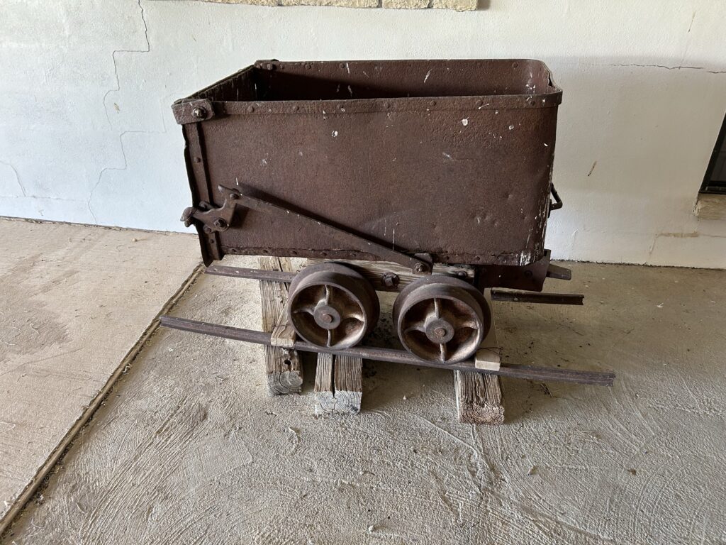
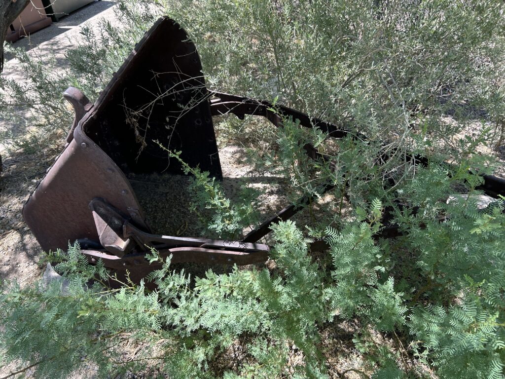
While mining was an important historical activity in the region, the current economy of Boquillas del Carmen appears to be focused on tourism, with visitors able to cross the border to explore the town, dine at local restaurants, and purchase handicrafts345. There is no mention of ranching being a major economic activity in the search results.12345
The search results note that “for a tourist, for a park ranger, for a conservationist, and for anyone who has visited this spectacular place, one thing is clear: what we share here – the seamless flow of nature across both banks of the river – is far stronger and far more enduring than any political boundary.”5 This suggests that efforts are made to facilitate cross-border visitation and appreciation of the shared natural environment.
El Camino del Rio
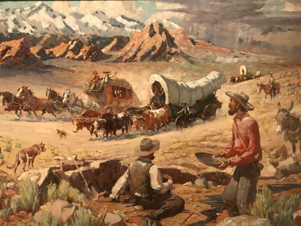
El Camino del Rio refers to the stretch of FM 170 highway between the towns of Lajitas and Presidio in Texas. This 51-mile scenic road follows the curves of the Rio Grande River through the Big Bend Ranch State Park1.
National Geographic Traveler has rated this road as one of the top 10 scenic routes in the United States. The highway winds through the Chihuahuan Desert, plunging over mountains into steep canyons and then back up again.1
The area is known for its iconic cowboy-style geography and Spanish-influenced place names, harkening back to the days when Spanish explorers first came through the region.
River Road (FM 170) meanders wes along the Rio Grande about 48 miles to Fort Leaton State Historic Site just south of Presidio, TX. Many miles of paddling, hiking and mountain biking trails can be accessed from the River Road. You’ll also hnd campsites, picnie areas, scenic vistas, river access, historio sites and more. For a short hike check out Closed Canyon.
Prom stareazine to camping and nature photography to mountain biking, Big Bend Ranch State Park is full of adventure and awe-inspiring scenery.
Take a hike into the desert and disappear into a land that people have enjoyed for over 10,000 years.
Barton Warnock Visitor Center staft can recommend adventures that match your skill level. Be prepared and stay safe!
- Talk with park staff about trail conditions and recommendations.
- Walk a short trail to a ramada overlooking the historic Comanche trail.
- Check out the center’s desert garden for representative plants of the area and great birding opportunities.
- Travel through 540 Million years of geologic time in our exhibit “Una Tierra – One Land”.
- Watch where you step – rattlesnakes and other wildlife call this rugged landscape home.
- Browse the park’s gift shop to find the perfect souvenir.
- Always carry and drink water – a gallon per day is recommended
- Save your skin – wearing sunscreen and a hat is strongly recommended.
- Plan ahead and prepare – the terrain is extreme and can be dangerous.
- Cell phones do not have signal in most of the park – have an emergency plan.
In summary, El Camino del Rio is a scenic highway located within the Big Bend Ranch State Park in Texas, along the Rio Grande River. It is considered one of the most beautiful road trips in the country.
El Paso
El Paso, Texas is a key border city that has been significantly impacted by the ongoing immigration and migrant crisis at the U.S.-Mexico border123.
El Paso’s economy is heavily dependent on cross-border trade and tourism, so President Biden’s immigration policies are crucial to the city’s economic well-being12. The city has seen a surge in migrant arrivals, straining local resources and services123. However, the Biden administration has pledged to provide more federal resources to support border communities like El Paso12.

Based on the information provided in the search results, the key purposes of the National Guard deployment at the El Paso border are:
- To provide supplemental staffing support at temporary holding facilities for migrants who have crossed the border illegally, as well as supplemental enforcement capacity at ports of entry along the border.3
- To help address the ongoing humanitarian crisis and increase border security in the region, as the large influx of migrants has strained resources and pulled Border Patrol agents away from their security mission.3
- To bolster Texas’ border security efforts under Governor Greg Abbott’s Operation Lone Star, which has deployed thousands of Texas National Guard soldiers and state troopers to the border.12
- To respond to the anticipated increase in migrant crossings after the end of the Title 42 public health order, which the Biden administration plans to lift this week.2
- To work alongside Texas law enforcement partners to “intercept and repel large groups of migrants trying to enter” the U.S. illegally.2
The search results indicate the National Guard deployment is part of Texas’ broader strategy to secure the border in the face of the ongoing migrant crisis, even as the federal government’s response has been criticized as inadequate by state officials.123
Based on the search results, the key points are:
- Ciudad Juárez, Mexico, which borders El Paso, Texas, is not one of the areas that the U.S. government has issued a “do not travel to” warning for. The search results indicate that U.S. government employees are allowed to travel to the area of Ciudad Juárez bounded to the east by Bulevar Independencia.14
- The search results do not indicate that the U.S. government pays Mexico to patrol the border near El Paso. Instead, the information shows that the Mexican government has deployed over 200 immigration agents and National Guard personnel to the Ciudad Juárez-El Paso border area to apprehend and relocate undocumented migrants away from the border zone. This appears to be an independent action taken by the Mexican government in response to the ongoing migrant crisis, rather than a result of U.S. government funding or directives.2
In summary, Ciudad Juárez is not one of the areas the U.S. government has warned citizens not to visit, and there is no evidence in the search results that the U.S. pays Mexico to patrol the border near El Paso. The Mexican government’s border enforcement actions in that region seem to be self-directed efforts to manage migration flows.

Major employment opportunities in El Paso include manufacturing, logistics, healthcare, and education2. The city’s proximity to the border also makes it an important hub for cross-border trade and commerce2.
Based on the search results, the major industries and employment sectors in El Paso, Texas include:
Manufacturing: El Paso’s primary manufacturing sectors are food production, clothing, plastics, medical equipment, electronic equipment, and construction materials15.
Trade, Transportation, and Logistics: El Paso is a major transportation and logistics hub, serving as an important entry point for trade between the U.S. and Mexico. The city has strong rail, road, and air connectivity145.Healthcare and Biomedical: The healthcare industry, including hospitals and medical device manufacturing, is a key employer in El Paso14.Education: The University of Texas at El Paso (UTEP) and the city’s large school districts are major employers15.
Military and Government: Fort Bliss military base and various federal agencies like the DEA and Customs Service have a significant economic impact in El Paso15.
Business and Financial Services: El Paso has a growing finance, call center, and professional services sector, with companies like ADP, Charles Schwab, and Prudential Financial4.
Tourism and Hospitality: El Paso’s location and natural amenities support a thriving tourism industry5.The search results indicate that El Paso has a diverse, growing economy with strengths in manufacturing, trade, healthcare, education, and government/military sectors1245.
Immigration has been a double-edged sword for El Paso – while it has contributed to economic growth, the recent influx of migrants has also created significant challenges for the city123.
Based on the search results, the top employers in El Paso, Texas are:
- Fort Bliss (military and civilian employees) – 47,316 employees2
- El Paso Independent School District – 8,380 employees2
- Ysleta Independent School District – 7,602 employees2
- City of El Paso – 5,484 employees2
- T&T Staff Management L.P. (employment services) – 5,348 employees2
- University of Texas at El Paso (UTEP) – 2,276 employees2
- El Paso County – 2,892 employees2
- El Paso Community College – 3,089 employees2
- University Medical Center (UMC) – 2,858 employees2
- Tenet Hospitals Limited (private healthcare) – 5,100 employees2
The search results indicate that the top employers in El Paso are a mix of government, education, healthcare, and private sector organizations, with Fort Bliss military base being the single largest employer in the city124.
Texas Governor Greg Abbott has been a vocal critic of the Biden administration’s border policies and has taken unilateral actions, such as busing migrants to other cities, that have further strained El Paso’s resources3. This has created tensions between the state and local governments and exacerbated the humanitarian crisis in the city3.
El Paso is a predominantly Democratic-leaning area, in contrast to much of the rest of Texas3. The city has a long history of cross-border cooperation and immigration, dating back to its founding in the 17th century as a Spanish colonial outpost2. Over the years, El Paso has evolved into a diverse, binational community that has been shaped by its unique geographic location and the constant flow of people and goods across the U.S.-Mexico border2.
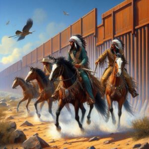
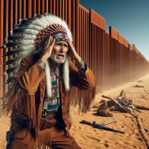
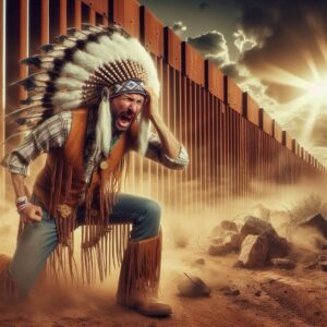
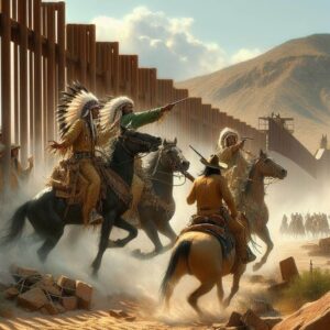
Here is a poem about the Comanche Indians raiding in the Big Bend, Big Bend Ranch, Camino Rio, and El Paso areas, and the wall that now defines those areas:
Echoes of the Comanche Trail
Across the endless plains they road, The Comanche, masters of the land. Comancheria, their kingdom, they roamed, Striking fear with those who would take a stand.
The white man came with greed, Slaughtering the buffalo. Deprived of sustenance, the Comanche did heed The call to raid south, across the Rio’s flood to Mexico.
Across the desert sand’s they rode, Comanche warriors, fierce and bold. Into Mexico they swept, a thundering horde, Pillaging towns, capturing slaves with might. The settlers cried for aid, their cries implored A barrier to stem the Comanche’s blight.
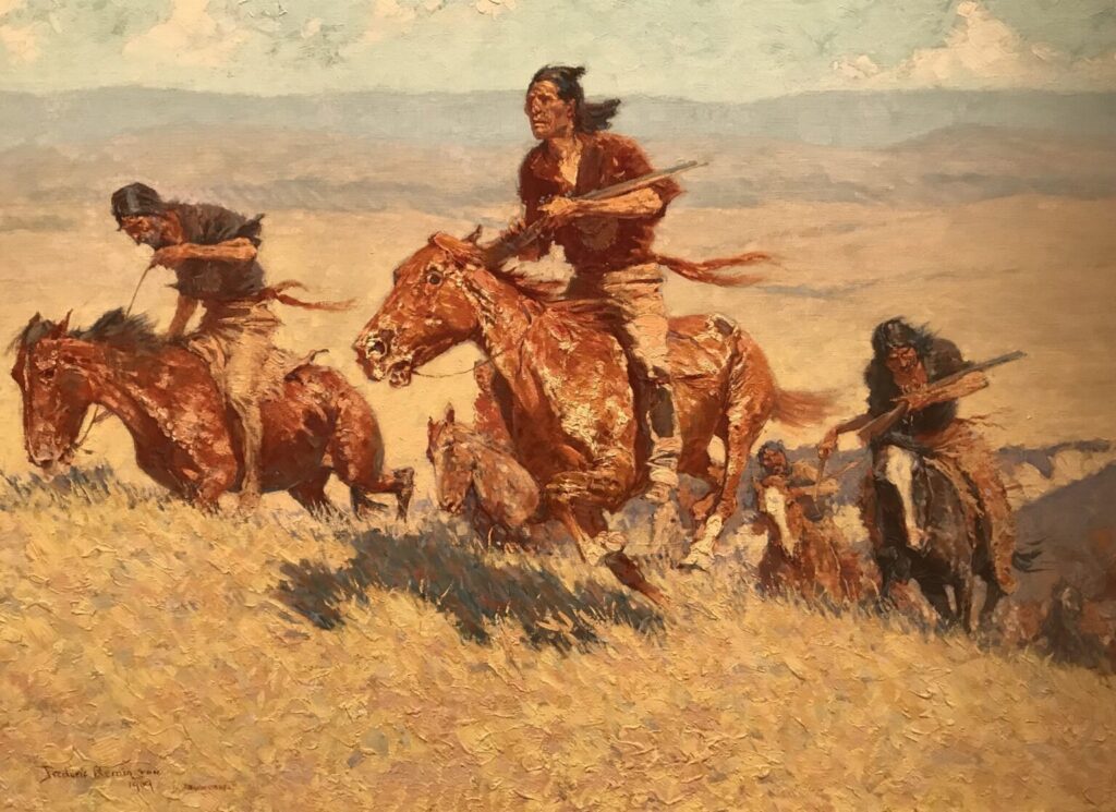
Through Persimmon Gap and Camino Rio, They raided haciendas, taking what was theirs. In the shadow of the Chisos Mountains high, They clashed with Apaches, and settlers their cries piercing the air.
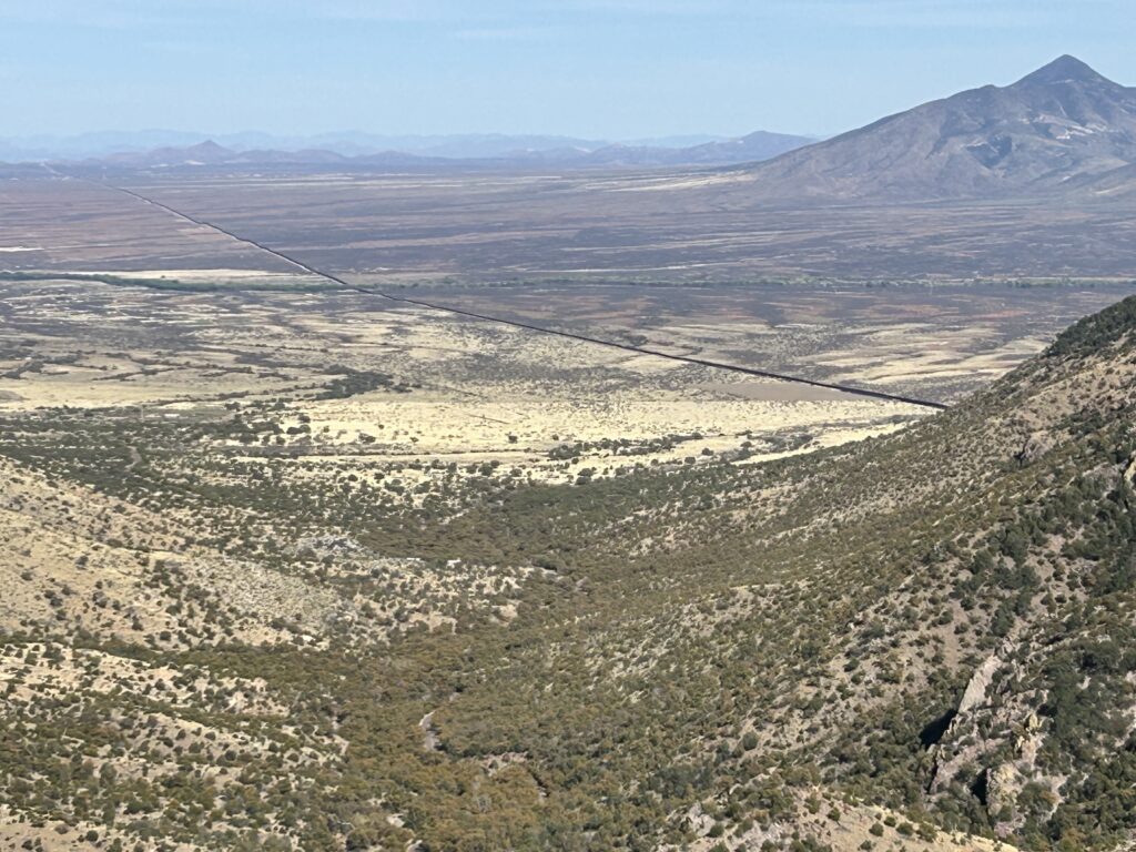
From Big Bend Ranch to the banks of the Rio Grande, Their path was etched, a testament to their might.
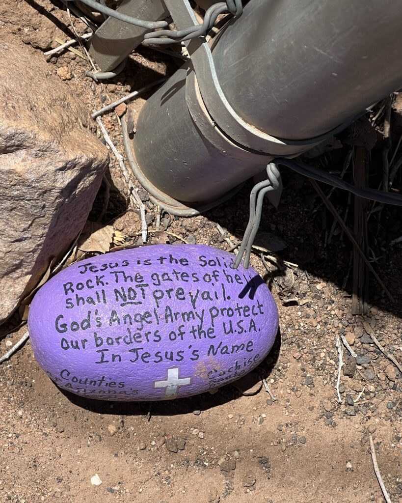
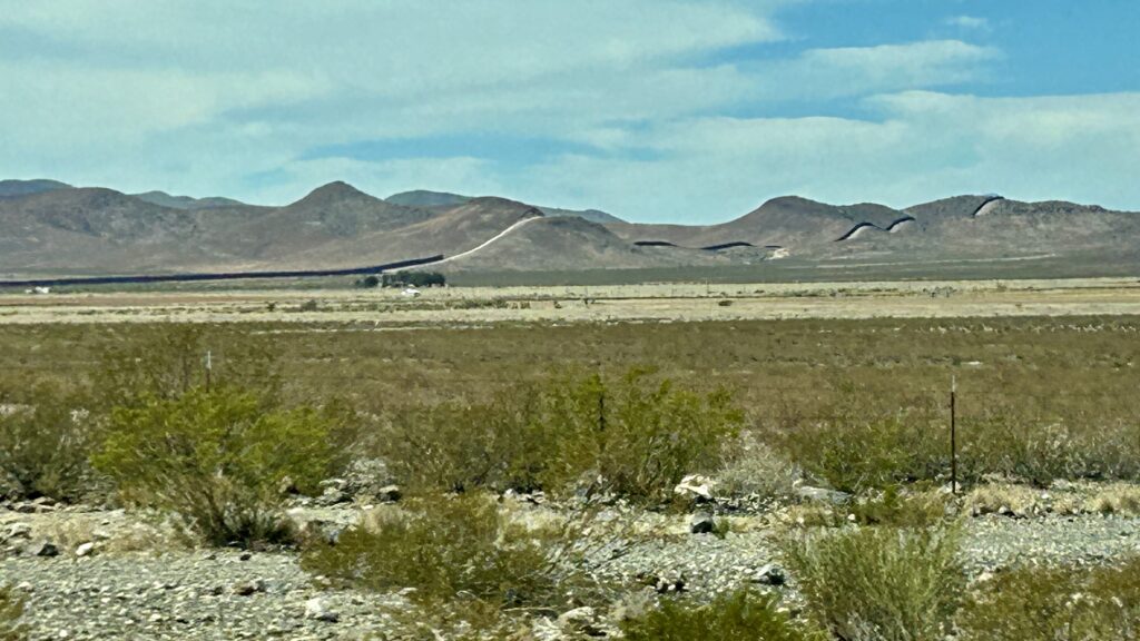
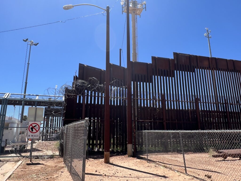
And eventually a wall was built, tall and strong, It might have kept the raiders at bay. But times have changed, the threat now long gone, Now the wall stands, a relic, MAGA Trump support, that’s all.
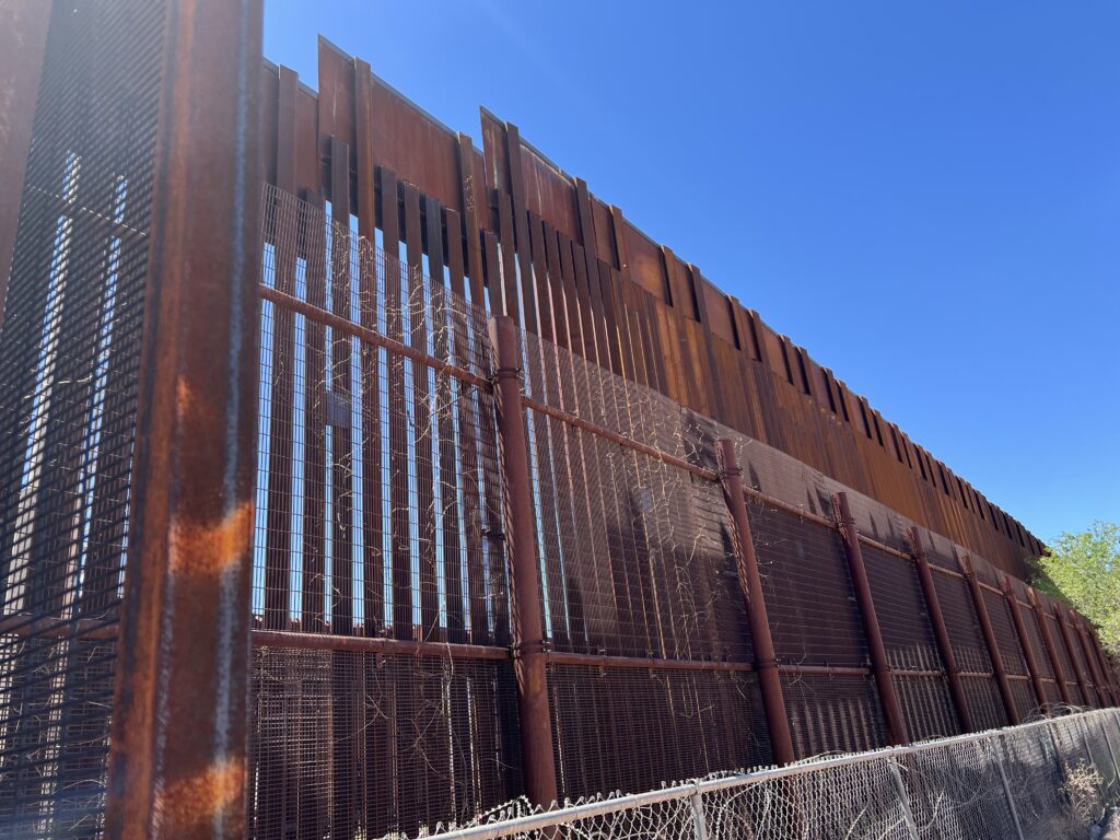
Though the trail has faded, their memory and a wall remains, A reminder of a time when the land knew no claim.
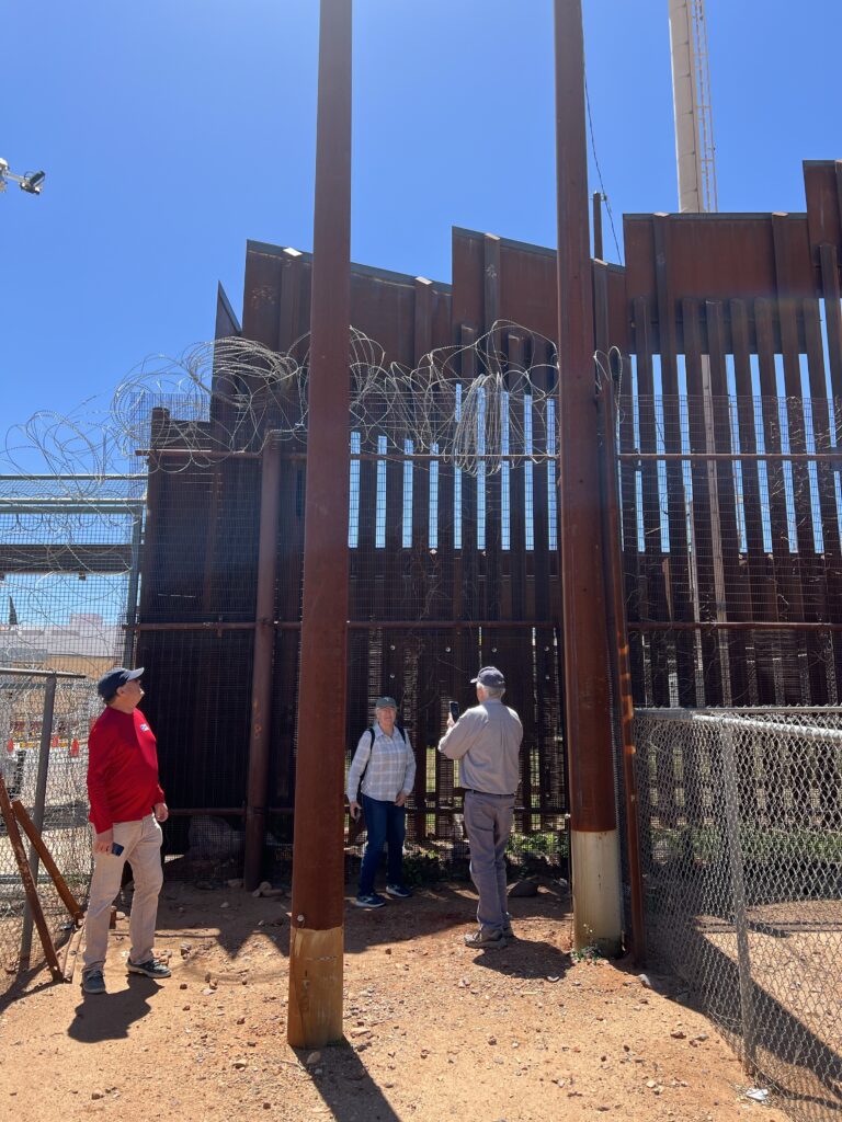
In the silence of the desert, their whispers still call, Echoing across the borderlands, never to fall. A testament to the power of a people unbound, Whose spirit in this land will forever resound.


See below https://static0.thetravelimages.com/wordpress/wp-content/uploads/2025/03/dreamstime_xxl_301352842.jpg?q=49&fit=crop&w=1600&h=900&dpr=2
Wall https://www.thetravel.com/us-homeland-security-border-wall-big-bend-national-park-plan-will-devastate-texas-tourism-destinations/?utm_source=flipboard&utm_content=topic/travel
Wall https://www.thetravel.com/us-homeland-security-border-wall-big-bend-national-park-plan-will-devastate-texas-tourism-destinations/?utm_source=flipboard&utm_content=topic/travel