The Cascade Loop has become somewhat of a traffic boondoggle since the pandemic. It is perhaps more rewarding to venture off this path, going beyond Washington States Ultimate Road Trip to State Route 21.
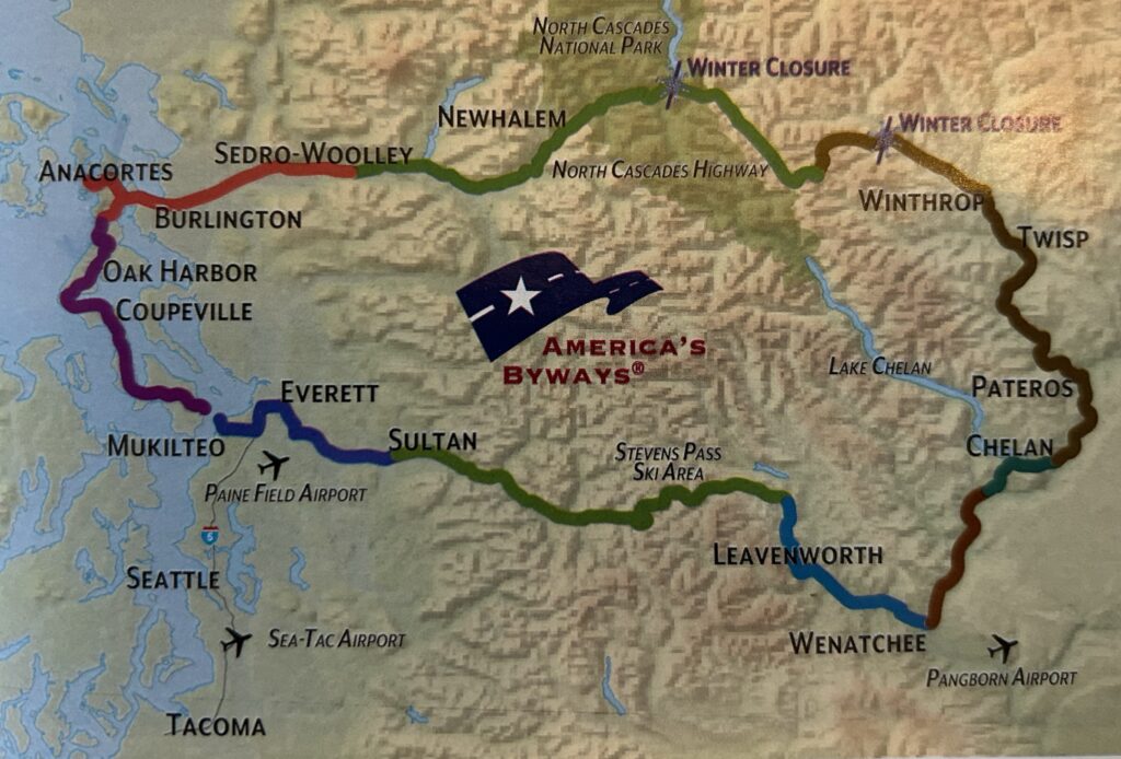
To travel from Seattle to State Route 21 using the Stevens Pass Greenway portion of the Cascade Loop, you would pass through the following regions:
1. Seattle/Puget Sound (starting point) Region 1
Region 1 is also called Seattle NorthCountry. It runs from the waters of Puget Sound, through fertile farm valleys, to the foothills of the Cascade Mountains, where vibrant cities and towns serve as gateways to the Cascade Loop.
2. Stevens Pass Greenway Region 2
Lush forests and thundering waterfalls line the scenic byway up and over Stevens Pass, traversing through charming historic towns that offer friendly hospitality and remnants of the past on the drive across the Cascades.
- This includes towns like Sultan, Startup, Gold Bar, Index, and Skykomish
- The route follows Highway 2 through the western slopes of the Cascade Mountains
3. Leavenworth/Cascade Foothills Region 3
A Bavarian village and classic all-American small towns nestled together in the foothills of the eastern slope of the Cascade mountains offer a diversity of recreational and cultural experiences.
- After crossing Stevens Pass, you’d enter this region
- Includes the Bavarian-themed town of Leavenworth and surrounding areas
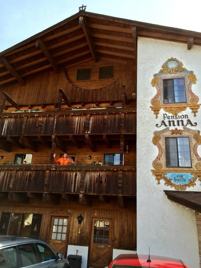
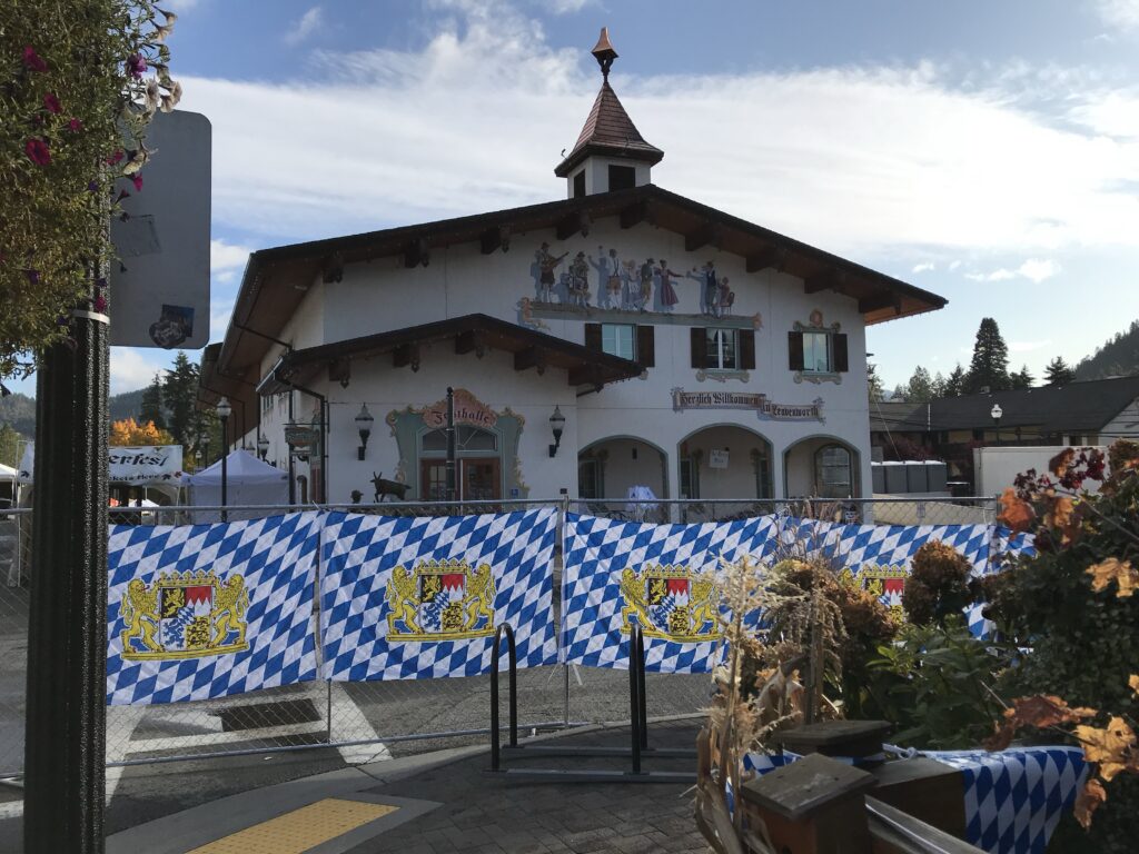
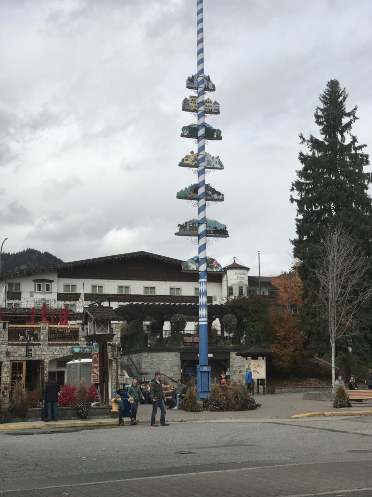
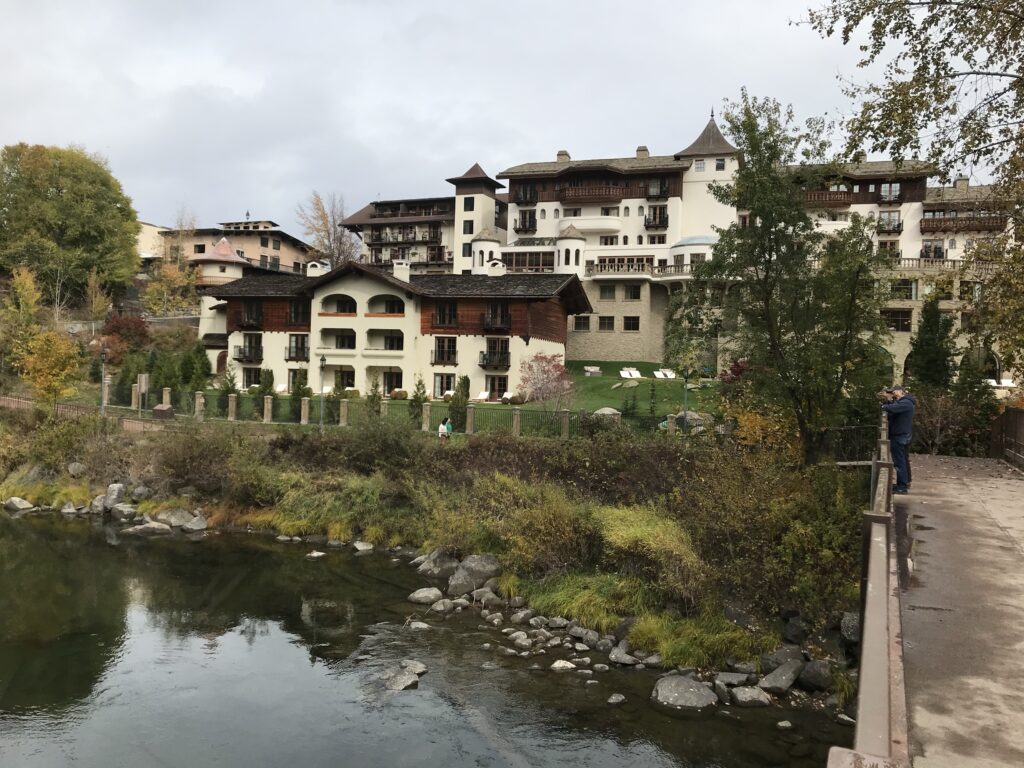


From Leavenworth, you would need to continue east on Highway 2 to reach State Route 21. However, the Cascade Loop itself does not directly connect to SR 21. To reach SR 21, you would need to:
- Continue east on Highway 2 past Wenatchee
- Take US-97 north to US-2 east
- Follow US-2 east until you intersect with SR 21 near Wilbur


It’s important to note that this route takes you off the official Cascade Loop after Leavenworth. The Cascade Loop would typically continue north from Leavenworth towards the North Cascades Highway (Highway 20), which is in a different direction from SR 21. The Stevens Pass Greenway is the most traffic bound with many stop lights and few multi lane roads.
Route from SR 21 to Seattle via Stevens Pass
To travel from Washington State Route 21 (SR 21) to Seattle via Stevens Pass, follow these steps:
- Start on SR 21:
- Begin your journey on SR 21, which traverses through Franklin, Adams, Lincoln, and Ferry counties.
- Head South on SR 21:
- Travel south on SR 21 until you reach Wilbur, where SR 21 intersects with US 2.
- Take US 2 West:
- At Wilbur, merge onto US 2 West. Follow US 2 through the towns of Waterville and Leavenworth.
- Continue on US 2 over Stevens Pass, which offers scenic mountain views.
- Continue on US 2 to Everett:
- After crossing Stevens Pass, continue on US 2 until you reach Everett.
- Merge onto I-5 South:
- In Everett, merge onto I-5 South towards Seattle.
- Arrive in Seattle:
- Follow I-5 South directly into Seattle.
Points of Interest About the Route
A few key points about going to and from Route 21 and potential attractions follow:
Keller Ferry:

- Route 21 is connected by the Keller Ferry (M/V Sanpoil) across the Columbia River.
- The ferry itself should be considered a major attraction, offering a unique transportation experience.
- The ride is a scenic and free ferry crossing over Lake Roosevelt, connecting SR 21 between Lincoln and Ferry counties.
Rural Highway:
- Route 21 is described as a “link in a rural highway,” providing scenic drives through rural Washington landscapes.
- The route follows the Sanpoil River valley for a significant portion. SR 21 heads “up the Sanpoil River valley” north of Republic.
- SR 21 crosses the Columbia River (specifically Franklin D. Roosevelt Lake, which is part of the Columbia River) via the Keller Ferry.
- The route follows the Kettle River north through the most populated stretch of SR 21 all the way to the Canadian border.
- After passing Curlew Lake, the route follows Curlew Creek northward.
Nearby Communities:
- Wilbur is 14 miles south of the ferry crossing.
- Republic is 53 miles north of the ferry crossing.
- These towns offer local attractions, historical sites, and services for travelers.
Columbia River:
- The route crosses the Columbia River, offers scenic views and recreational opportunities.
Lake Roosevelt:
- The ferry operates on what is Lake Roosevelt (formed by the Grand Coulee Dam on the Columbia River), and offers recreational activities like boating, fishing, and swimming.
Natural Scenery:
- Route 21 passes through areas of natural beauty, including forests, agricultural lands, and river valleys.
Grand Coulee Dam:


What is a coulee?
As a geological term, coulee means a ravine or deep gully, usually dry, which has been cut by water.
The Grand Coulee of Eastern Washington was formed over millions of years by eruptions of lava which solidified and was later swept away by massive ano tumultuous Ice Age floods.
Forty to 60 million years ago, a large inland sea covered the Columbia Basin. The basin was formed as a result of uplift in the surrounding territory. Ten to 15 million years ago, volcanic eruptions began to occur and many layers of lava flowed over the basin, forming the Columbia Plateau. Today, these layers can be seen as they erode, exposing the different lava flows.
Approximately two million years ago, the Ice Age began. Several times, the ice pushed south and then retreated. Glaciers covered some of this area. It was during the last Ice Age, approximately 10,000 years ago, that an ice dam holding the waters of Lake Missoula (Montana) broke and massive floods swept through the area. Evidence suggests that one of the last floods had waters that were over 800 feet high.
It is these successive floods that carved and shaped the coulees and other landforms that are so prominent throughout the area.
Grand Coulee Dam Area Visitors’ Guide Massive Adventure 2023 – 2024 A Supplement to The Star Newspaper
Here are the key points about the Grand Coulee Dam:
Significance:
- It’s one of the largest structures ever built by humans, containing almost 12 million cubic yards of concrete.
- Water supplied by Grand Coulee Dam irrigates more than 670,000 acres of rich farmland in the Columbia Basin annually.
- It’s listed as one of the seven civil engineering wonders of the United States.
- It’s the largest hydroelectric producer in the United States, generating about 11% of the Pacific Northwest’s power requirements.
When construction of the Grand Coulee Dam was completed in 1941, the waters of the mighty Columbia River began to backfill behind this enormous concrete structure. As a result, the waters of the once-untamed river swelled to create a 151-mile long reservoir, first called Columbia Reservoir. It was renamed Franklin D. Roosevelt Lake in honor of the 32nd President of United States on April 17, 1945, five days after the death of Roosevelt.
When it was built and original purpose:
- Construction began in 1933 and was completed in 1942.
- The original purposes were irrigation, power production, and flood control.
- It was authorized by President Franklin D. Roosevelt as part of the New Deal to provide jobs during the Great Depression.
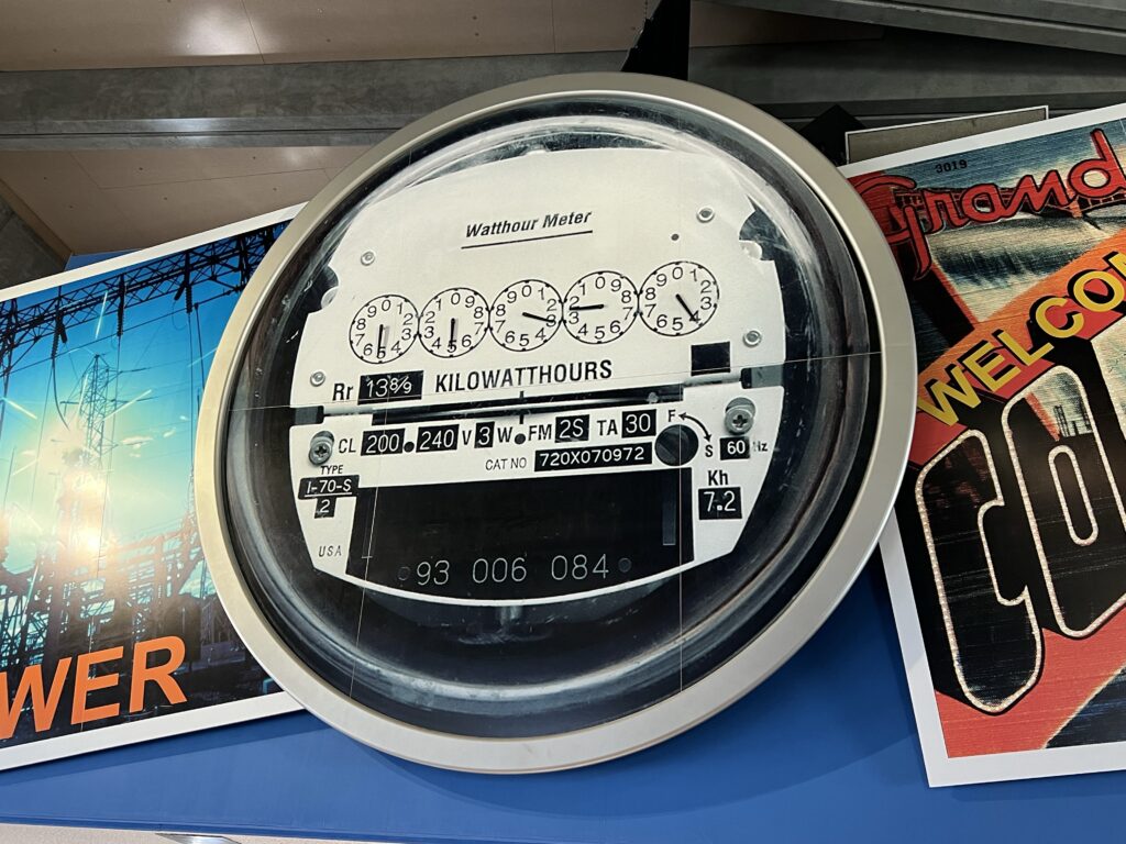
What is its historical significance
- It played a crucial role in World War II by providing power for aluminum production and the Manhattan Project.
- It irrigates over 600,000 acres of farmland in the Columbia Basin.
- The dam created Lake Roosevelt, which extends 151 miles upstream to the Canadian border. The dam’s blocking of the Columbia River has created Franklin D. Roosevelt Lake, which extends 151 miles upstream to the Canadian border. The reservoir has a shoreline of 660 miles, a surface area of 82,000 acres, and a total storage capacity of 9,562,000 acre-feet of water.
- Construction of the dam significantly impacted salmon and steelhead populations in the Columbia River.
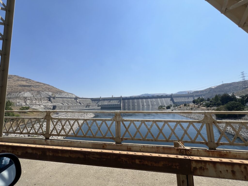
Water from Lake Roosevelt (behind the dam) is lifted 280 feet up a hillside to flow into the Banks Lake reservoir, where it starts a journey that eventually covers an area more than twice the size of the state of Delaware. Each of the six conventional pumps in Grand Coulee’s Pump-Generator Plant is powered by a 65,000-horsepower motor and will pump 1,600 cubic feet of water per second, or 781,128 gallons per minute.
In addition, six pump-generators, each having a 67,500-horsepower rating, can pump 1,948 cubic feet of water per second. One of these 12 units can fill the water needs of a city the size of Chicago, Illinois.
The only natural forest in Grant County is located in a canyon of the coulee. Called Northrup Canyon, it is located across the highway from Steamboat Rock State Park on Banks Lake and is open to hikers.
Leavenworth:
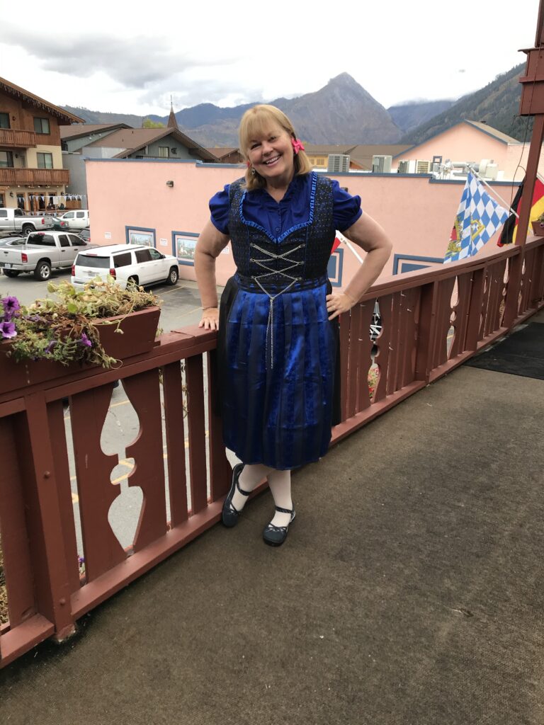
- A Bavarian-themed village located along US 2, known for its charming architecture, shops, and festivals.
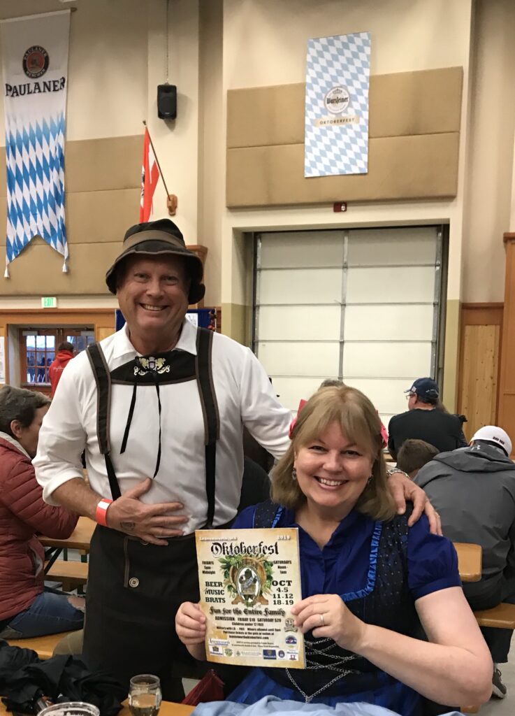
Stevens Pass:
- A mountain pass offering stunning views and outdoor activities such as hiking and skiing.
Everett:
- Home to the Boeing Future of Flight Aviation Center and the Everett Marina.
Additional Attractions and Considerations
Curlew Lake State Park:
Located near Republic, this park offers camping, fishing, and birdwatching opportunities.
Republic:
A historic town with the Stonerose Interpretive Center & Eocene Fossil Site, where visitors can dig for fossils.

Bodie Ghost Town:
A historic ghost town near Curlew Lake, offering a glimpse into the region’s mining past.
Crossing into Canada:
If you have time, consider crossing the border at Danville into British Columbia to explore additional attractions.
Summary
Traveling from SR 21 to Seattle via Stevens Pass offers a scenic journey through diverse landscapes, including rural farmlands, mountain passes, and charming towns. Key attractions along the way include the Keller Ferry, Grand Coulee Dam, Leavenworth, and Stevens Pass. The route provides a mix of natural beauty, historical sites, and recreational opportunities, making it a worthwhile and enjoyable trip.
Curlew Lake
Curlew Lake is a scenic lake located in Ferry County, Washington, near the town of Republic. It is known for its recreational opportunities, including fishing, boating, and birdwatching.
Campsite at Curlew Lake State Park


- Facilities: The campsite at Curlew Lake State Park offers a range of amenities including tent and RV sites, restrooms, showers, and picnic areas.
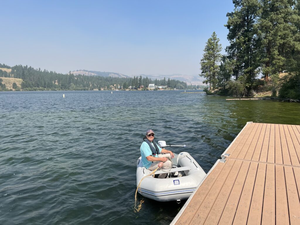
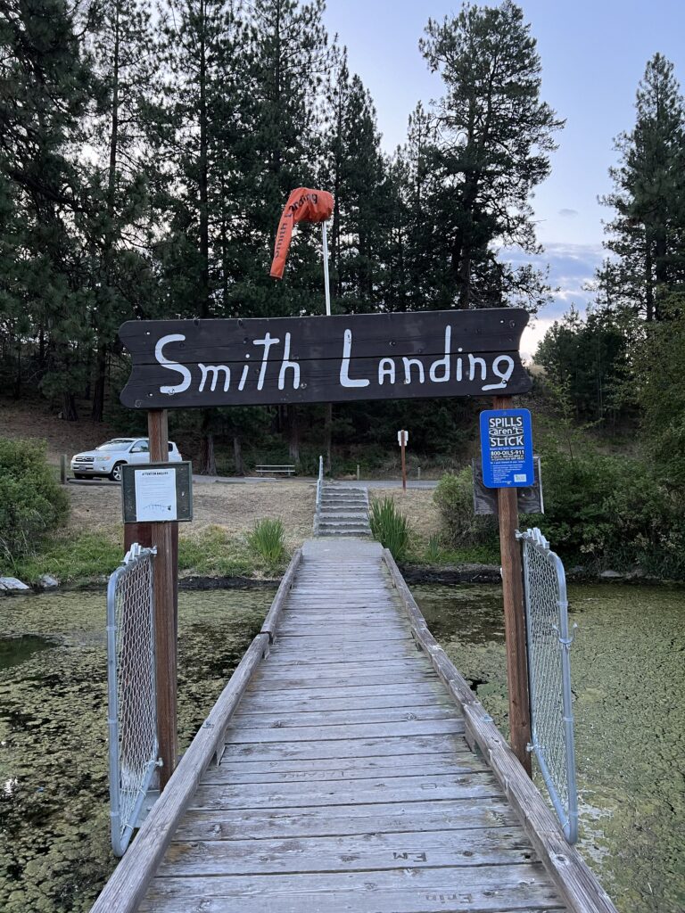
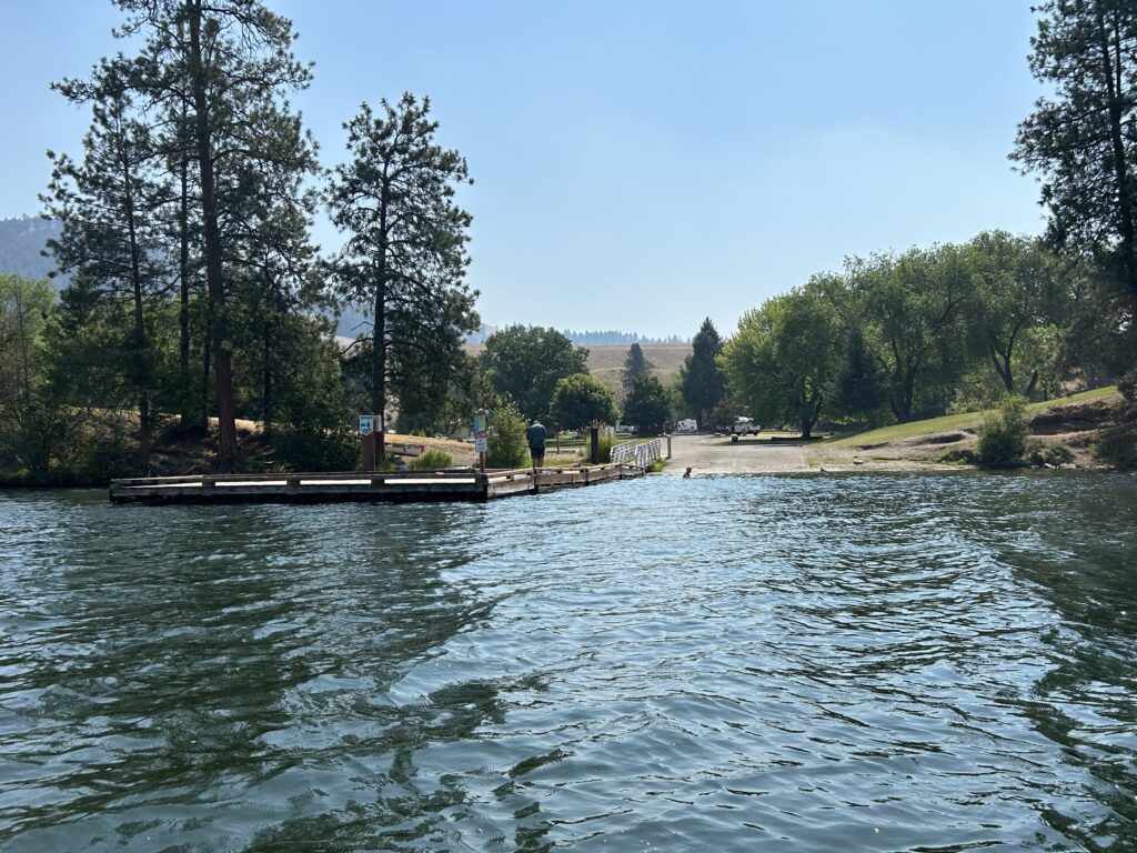
- Activities: Visitors can enjoy fishing, boating, swimming, and hiking. The park also has a boat launch and dock.
- Mosquitoes: Like many natural areas, there can be mosquitoes, especially during the warmer months. It’s advisable to bring insect repellent.
Nearby Attractions
Beer Garden:
- There is a beer garden at nearby Republic where you can enjoy a drink.
Ghost Town:
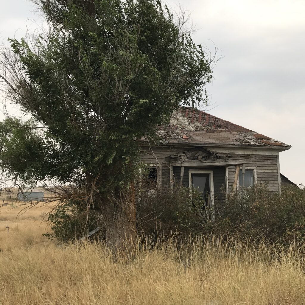
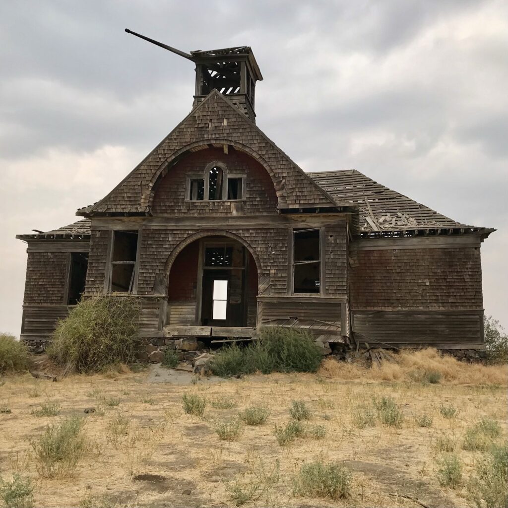
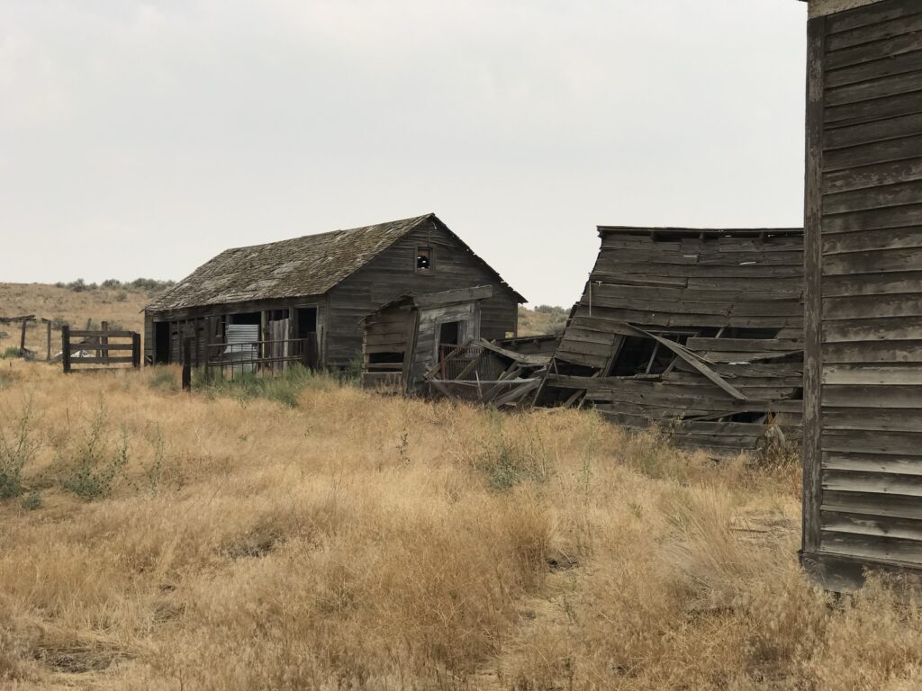
- Bodie Ghost Town: Located about 13 miles from Curlew Lake, Bodie is a historic ghost town that offers a glimpse into the region’s mining past.
Dude Ranches:
- There are several dude ranches in the broader region around Curlew Lake, offering horseback riding and other ranch activities. Specific names and details would require further research or local inquiries.
Crossing the Border to Canada
- Proximity: Curlew Lake is relatively close to the Canadian border, making it feasible to cross for a day trip or extended visit.
- Worthwhile: Crossing the border can be worthwhile if you are interested in exploring additional natural attractions, cultural sites, or enjoying different recreational activities in British Columbia.
Summary
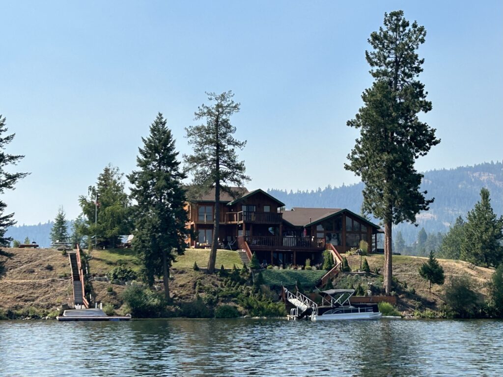
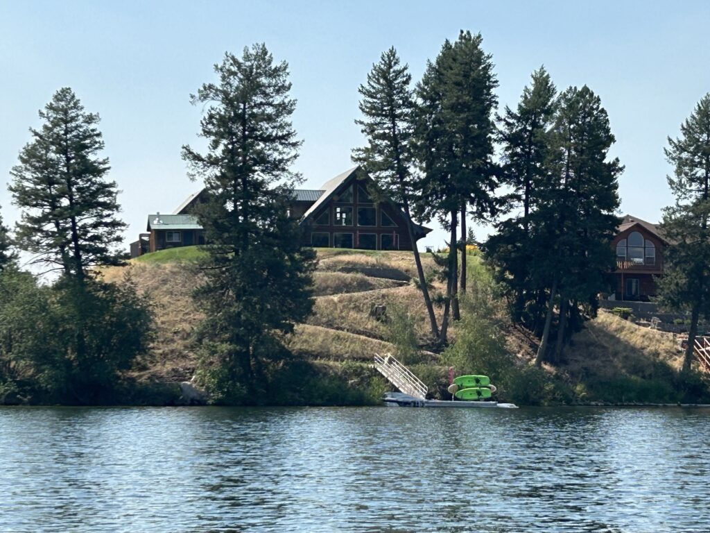
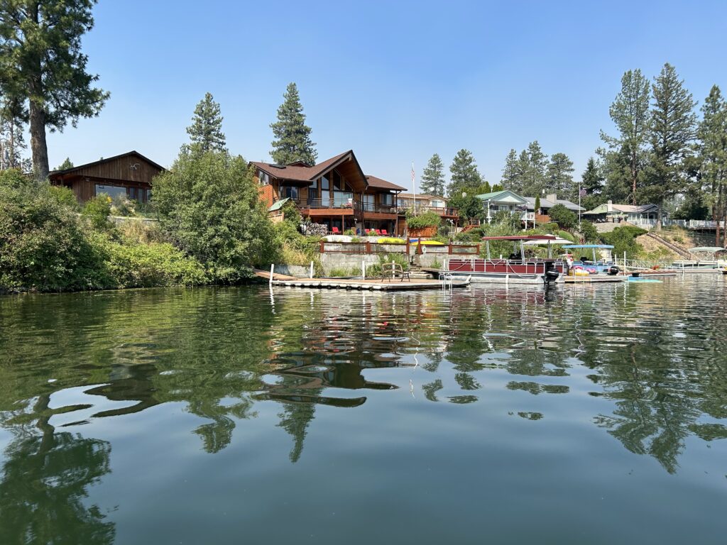
Curlew Lake offers a picturesque setting with ample recreational opportunities. The campsite at Curlew Lake State Park is well-equipped, though visitors should prepare for mosquitoes.
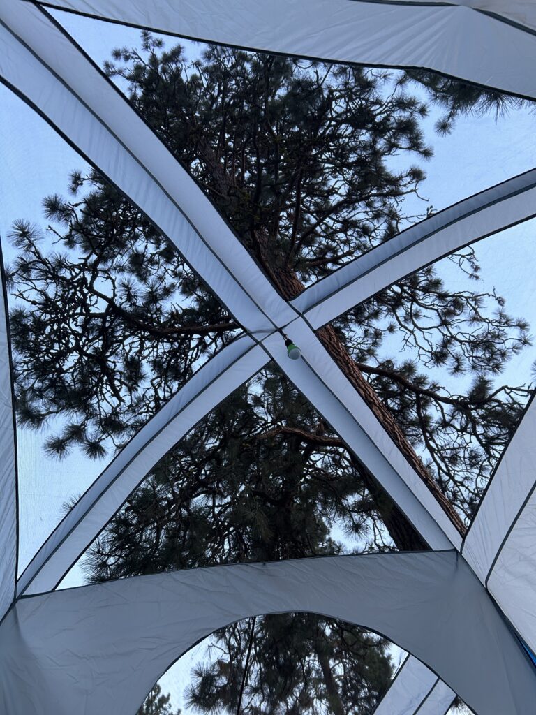
Nearby attractions include the historic Bodie Ghost Town and potential dude ranches. A beer garden is available in Republic. Given its proximity to the Canadian border, a visit to Canada could be an appealing addition to your trip.
Birding
Washington State Route 21 traverses a variety of landscapes that provide excellent birdwatching opportunities. Here are some of the most iconic bird species to look for along SR 21:
Iconic Bird Species on SR 21
Bald Eagle:
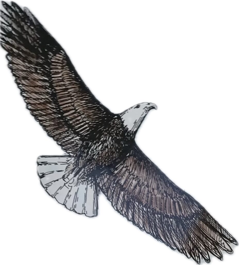
- Description: Majestic raptors known for their white heads and tails, powerful build, and keen eyesight.
- Habitat: Often found near large bodies of water like Lake Roosevelt, where they hunt for fish.
Osprey:
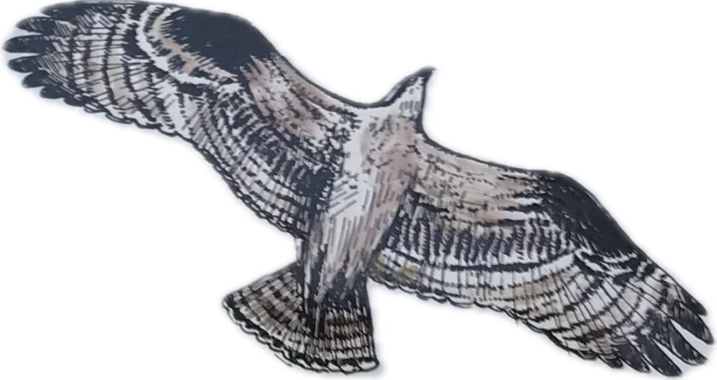
- Description: Also known as fish hawks, these large birds of prey have distinctive white underparts and dark brown upperparts.
- Habitat: Commonly seen around lakes and rivers, particularly near the Keller Ferry crossing on Lake Roosevelt.
Great Blue Heron:
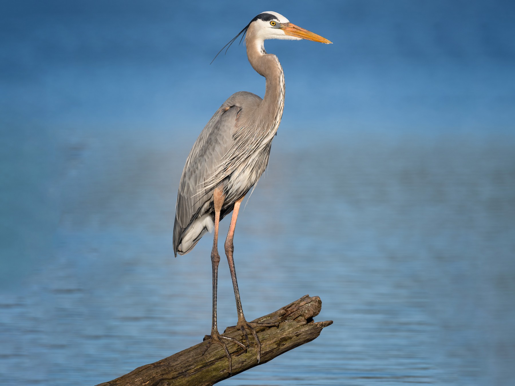
- Description: Large wading birds with long legs, necks, and a distinctive blue-gray plumage.
- Habitat: Found in wetlands, along riverbanks, and near lakes.
American White Pelican:
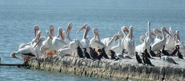
- Description: Large water birds with white plumage, black wingtips, and long orange bills.
- Habitat: Often seen in large flocks on lakes and reservoirs like Lake Roosevelt.
Red-tailed Hawk:
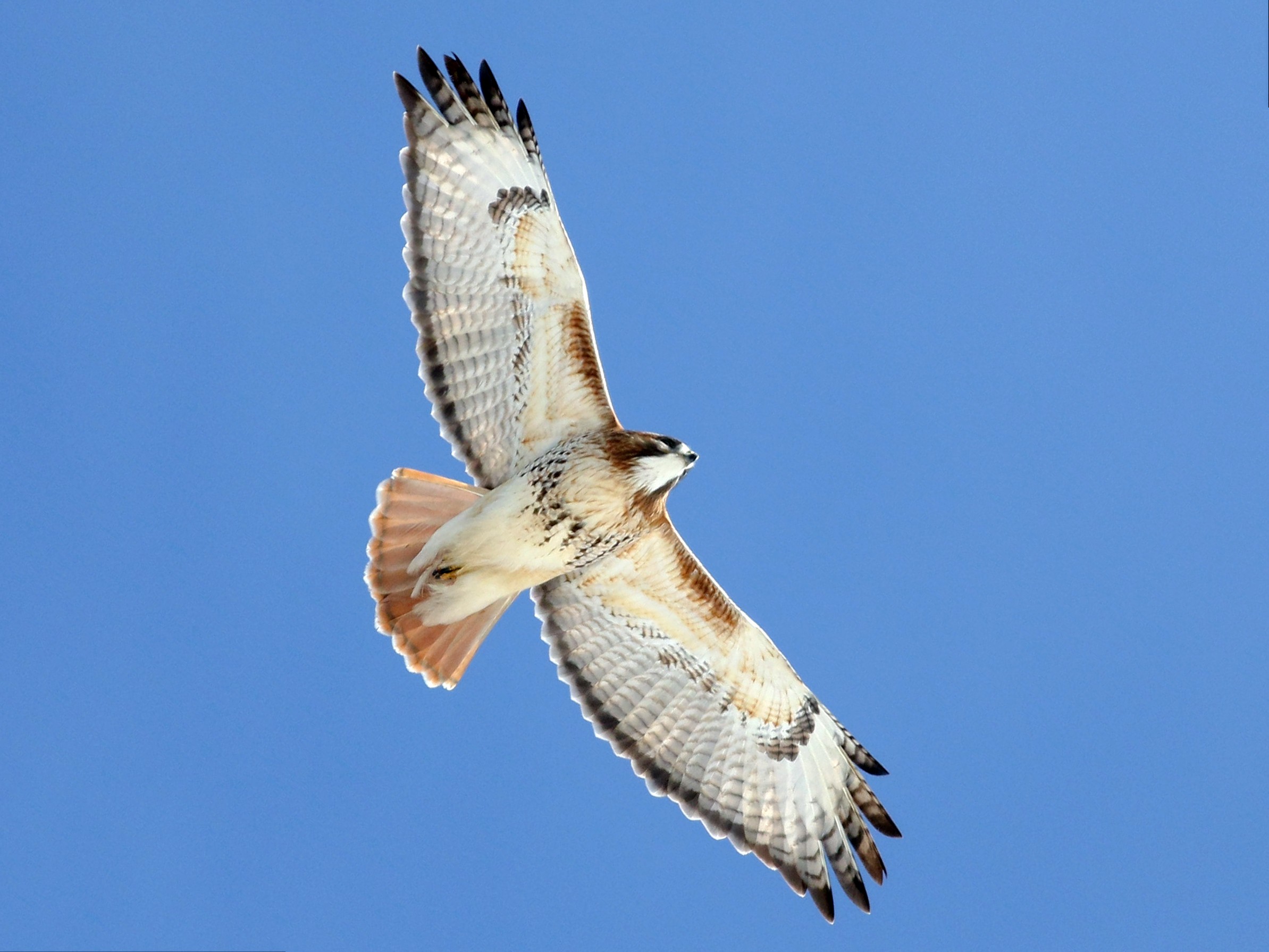
- Description: A common raptor with a distinctive reddish-brown tail and broad wings.
- Habitat: Frequently seen soaring over open fields and farmlands along SR 21.
Western Meadowlark:

- Description: A medium-sized songbird with bright yellow underparts and a distinctive black “V” on its chest.
- Habitat: Found in open fields and grasslands, often perched on fence posts.
Common Loon:

- Description: Large diving birds with striking black-and-white plumage and red eyes.
- Habitat: Seen on lakes and large rivers, particularly during migration seasons.
Northern Flicker:

- Description: A type of woodpecker with a brown body, black spots, and a distinctive white rump patch.
- Habitat: Found in forests, woodlands, and even urban areas.
Golden Eagle:

- Description: Large raptors with dark brown plumage and golden feathers on the back of their heads and necks.
- Habitat: Often seen in open and semi-open areas, including the rolling farmlands and canyons along SR 21.
Birdwatching Tips
- Best Times: Early morning and late afternoon are typically the best times for birdwatching, as birds are most active during these periods.
- Seasonal Considerations: Spring and fall migration seasons offer opportunities to see a wider variety of species. Summer is also good for resident birds, while winter can be excellent for spotting raptors like bald eagles.
- Equipment: Bring binoculars, a field guide, and a camera to enhance your birdwatching experience.
Summary
Washington State Route 21 offers a rich birdwatching experience with a variety of iconic bird species, from raptors like bald eagles and ospreys to water birds like great blue herons and American white pelicans. The diverse habitats along the route, including lakes, rivers, farmlands, and forests, provide excellent opportunities to observe these magnificent birds.
Washington State Route 21 offers several excellent spots for birdwatching due to its diverse landscapes and natural areas. Here are some top-rated birdwatching locations along or near SR 21:
Curlew Lake State Park:

- Description: A beautiful state park known for its diverse bird species. The lake and surrounding wetlands attract a variety of waterfowl, songbirds, and raptors.
- Location: Near the town of Republic, accessible via SR 21.
Lake Roosevelt National Recreation Area:
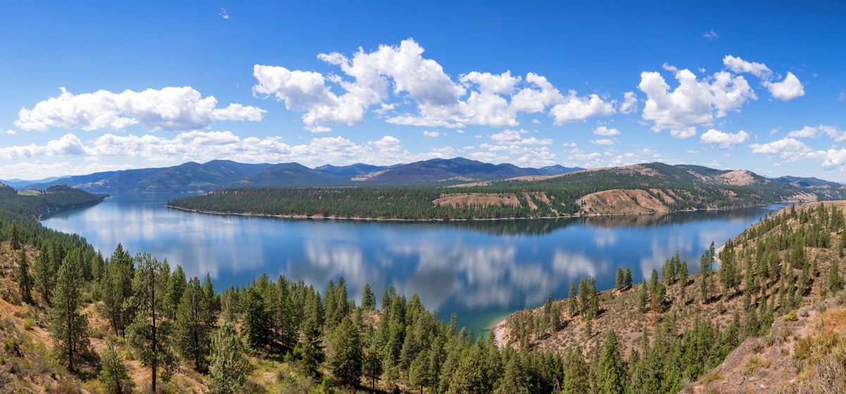
- Description: This area offers excellent birdwatching opportunities, especially around the Keller Ferry crossing. The lake and its shoreline provide habitats for numerous bird species, including bald eagles, ospreys, and various waterfowl.
- Location: Accessible from SR 21, particularly near the Keller Ferry crossing.
Beal Park:
- Description: A small roadside park located on the Kettle River, west of the town of Curlew. It is a popular spot for birdwatching, offering views of birds basking on the river and in the surrounding area.
- Location: Near Curlew, along SR 21.
Colville National Forest:

- Description: This vast forest offers numerous birdwatching opportunities. The diverse habitats within the forest support a wide range of bird species, including woodpeckers, owls, and songbirds.
- Location: Near the northern end of SR 21, particularly around the Curlew and Republic areas.
Keller Ferry Area:

- Description: The area around the Keller Ferry crossing on Lake Roosevelt is known for its scenic views and birdwatching opportunities. The ferry ride itself can offer sightings of various waterfowl and birds of prey.
- Location: On Lake Roosevelt, between Lincoln and Ferry counties.
Summary
Washington State Route 21 traverses a variety of landscapes that provide excellent birdwatching opportunities. Key locations include Curlew Lake State Park, Lake Roosevelt National Recreation Area, Beal Park, and Colville National Forest. These areas offer diverse habitats that attract a wide range of bird species, making them ideal spots for bird enthusiasts.
M/V Sanpoil
The M/V Sanpoil, also known as the Keller Ferry, is a passenger and automobile ferry operated by the Washington State Department of Transportation (WSDOT).
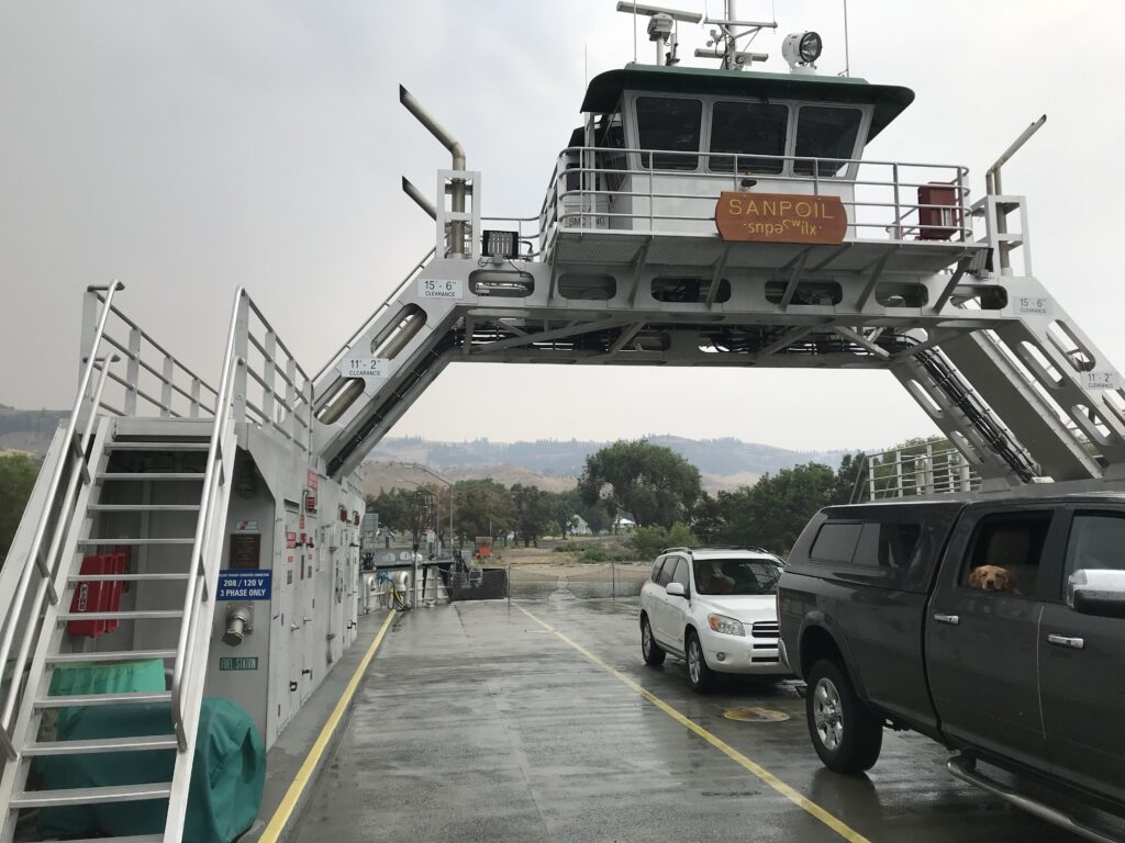
Here are the key details about this vessel:
Type:
It is a car and passenger ferry, designed for short crossings.
Capacity:
- 20 passenger vehicles, or
- 2 single tractor-trailer trucks and 9 passenger vehicles, or
- 1 double tractor-trailer truck and 8 passenger vehicles
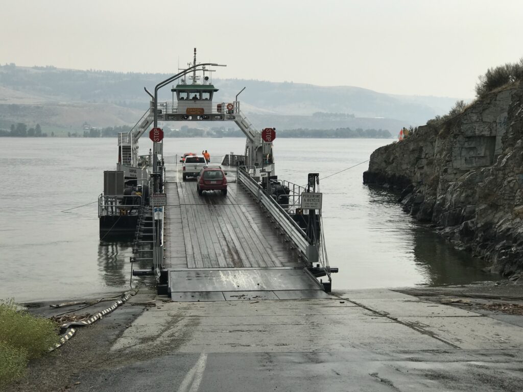
Size:
116 feet in length
Normal duties:
- Operates on Franklin D. Roosevelt Lake (Columbia River)
- Carries State Route 21 between the Colville Indian Reservation in Ferry County and Clark in Lincoln County
- Crosses a 1.25-mile stretch of water
- Typically makes a
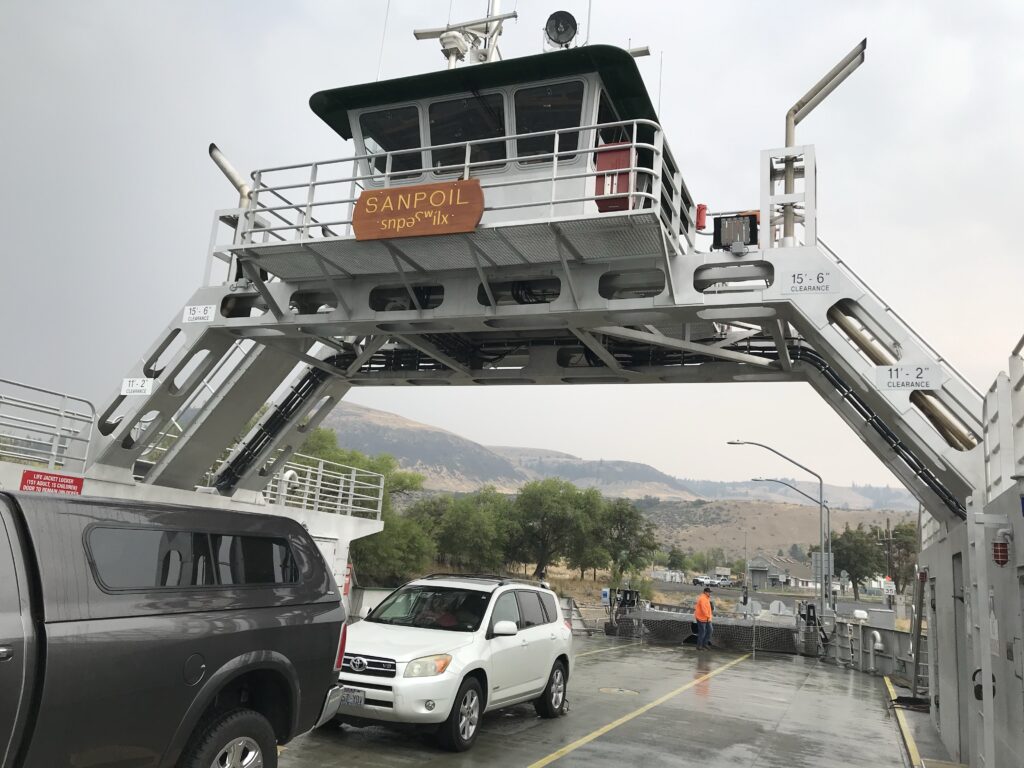
The Keller Ferry has significant historical importance in Washington State’s transportation system. Here are the key points about its historical significance:
- Early Origins:
- Ferry service at this location dates back to at least 1890.
- J.C. Keller took over the ferry run around 1898, giving the crossing its name.
- State Involvement:
- On September 1, 1930, the Washington State Department of Highways took control of the Keller Ferry operation, making it one of the earliest state-run ferry services in Washington.
- This predates the state’s involvement in Puget Sound ferry operations by over 20 years.
- Adaptation to Grand Coulee Dam:
- Between 1939 and 1942, the water level rose due to the construction of Grand Coulee Dam.
- The original ferry landing was flooded by 1939, requiring adaptation of the service.
The Martha S:
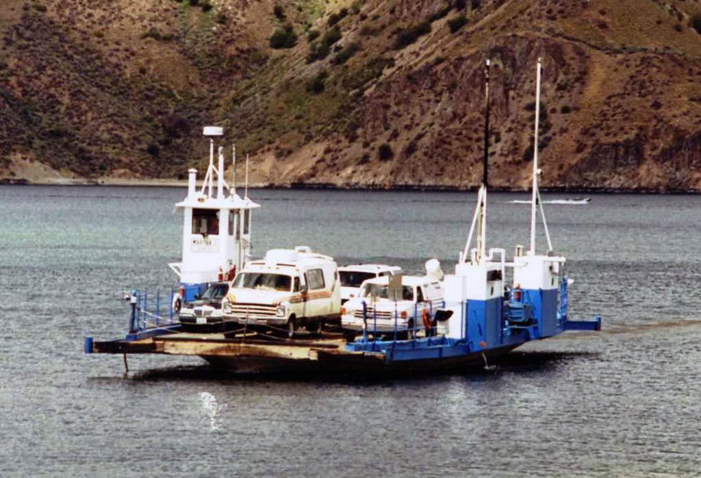
- Launched on September 9, 1948, the ferry Martha S was named after Martha Shain, wife of the Washington Director of Highways.
- It operated for nearly 65 years, showcasing remarkable longevity in service.
- Geographical Significance:
- The ferry crosses Lake Roosevelt (Columbia River) at its confluence with the Sanpoil River.
- It connects Ferry County and the Colville Indian Reservation to Lincoln County.
- The crossing spans 1.25 miles, linking rural communities and providing an essential transportation link.
- Continuous Operation:
- The ferry has operated continuously since 1948, adapting to changing water levels and community needs.
- It carries approximately 60,000 vehicles annually, serving as a crucial link in State Route 21.
- Modernization:
- In 2013, the Martha S was replaced by the new MV Sanpoil, representing the ferry service’s adaptation to modern needs while maintaining its historical role.
The Keller Ferry’s long-standing operation represents a unique piece of Washington’s transportation history, bridging rural communities and adapting to significant changes in the landscape due to the Grand Coulee Dam. Its continuous service for over 70 years under state management underscores its importance to the region’s infrastructure and community connectivity.
The construction of the Grand Coulee Dam had significant impacts on the Keller Ferry and the surrounding area:
- Flooding of original site:
- The original Keller Ferry landing was flooded in 1939 as water levels rose due to the dam’s construction[2][5].
- This necessitated adaptations to the ferry’s operations and route.
- Changes in ferry vessels:
- Before the dam, a cable ferry called the Keller served the crossing.
- From 1939 to 1944, as Lake Roosevelt formed, the L.A. McLeod, a diesel-powered side-wheeler, took over.
- Between 1944 and 1948, a barge called the San Poil, pushed by a tugboat, served the route.
- Creation of Lake Roosevelt:
- The dam’s completion formed Lake Roosevelt, changing the geography of the crossing.
- The ferry now crosses a 1.25-mile stretch of Lake Roosevelt instead of the original Columbia River.
- Impact on local communities:
- The rising water levels displaced many American Indian residents along the river.
- It affected traditional tribal lands, burial sites, and cultural practices.
- The flooding impacted fruit orchards, livestock raising, farming, logging, and mining in the area.
- Changes in regional infrastructure:
- The dam’s construction and resulting reservoir required adjustments to transportation routes and community locations.
- It affected school transportation, with some children facing long bus and ferry rides.
- Environmental changes:
- The dam’s construction led to the loss of important fishing sites for local tribes, including at Kettle Falls and the mouth of the Sanpoil River.
- This had significant impacts on tribal diet, religion, and economy.
In summary, the construction of the Grand Coulee Dam fundamentally altered the landscape and operations of the Keller Ferry, requiring it to adapt to new water levels and crossing distances. It also had far-reaching impacts on local communities, particularly Native American tribes, and the broader regional infrastructure and environment.
Innovations Introduced in the M/V Sanpoil Ferry
The M/V Sanpoil, which began service on August 14, 2013, introduced several innovations and improvements over its predecessor, the Martha S. Here are the key features and advancements:
- Increased Capacity:
- The Sanpoil is 116 feet long, 36 feet longer than the Martha S.
- It can carry 20 passenger vehicles, compared to the Martha S’s capacity of 12 vehicles.
- It can also accommodate two single tractor-trailer trucks and nine passenger vehicles, or one double tractor-trailer truck and eight passenger vehicles.
- Construction and Materials:
- The hull is built of marine-grade aluminum plate, which offers lower maintenance, no repainting, and a longer lifespan.
- The construction was undertaken by Foss Maritime Company, with the hull built at their shipyard in Rainier, Oregon, and assembled at Crescent Bay Park near Grand Coulee.
- Propulsion and Speed:
- The ferry is powered by two 450-horsepower diesel engines.
- It has two 50-inch propellers, allowing it to reach speeds of up to 14 knots.
- Navigation and Safety:
- The Sanpoil is equipped with a high-tech radar system that uses GPS tracking for precise navigation.
- It meets U.S. Coast Guard standards for stability, featuring two hull compartments to enhance safety in case of damage.
- Design and Comfort:
- The wheelhouse is located overhead, providing better visibility and control for the operator.
- The ferry is designed to operate year-round, including during winter months, ensuring consistent service for the region.
- Environmental and Operational Efficiency:
- The use of aluminum reduces the need for frequent maintenance and repainting, contributing to lower operational costs.
- The ferry’s engines and design aim to provide efficient and reliable service, reducing the likelihood of breakdowns that plagued the older Martha S.
Operational Details
- Route: The Sanpoil operates on the Keller Ferry route, crossing Lake Roosevelt (Columbia River) between Lincoln and Ferry counties. This route is part of State Route 21.
- Service: The ferry makes approximately 30 to 35 crossings daily, from 6 a.m. to midnight, and is expected to carry around 60,000 vehicles annually.
- Significance: The ferry provides a crucial connection for the region’s communities, supporting local economies and maintaining access across the river.
Historical Context
- Replacement of Martha S: The Sanpoil replaced the Martha S, which had been in service since 1948 and had become unreliable due to frequent breakdowns and a rusting hull.
- Funding and Collaboration: The project was funded by the Washington State Legislature, with significant contributions from the Confederated Tribes of the Colville Reservation and federal grants. The total cost, including design improvements to the terminals, was approximately $12.5 million.
The M/V Sanpoil represents a significant upgrade in terms of capacity, technology, and reliability, ensuring the continued operation of the vital Keller Ferry service for years to come.
The M/V Sanpoil operates on the Keller Ferry route across Lake Roosevelt and is managed by the Washington State Department of Transportation (WSDOT). However, it is not part of the Washington State Ferries (WSF) system.
Key Points:
- Management: The M/V Sanpoil is operated by WSDOT, but it is not included in the WSF system, which primarily serves the Puget Sound area.
- Route: The Sanpoil operates on the Keller Ferry route, which crosses Lake Roosevelt (Columbia River) between Lincoln and Ferry counties. This route is part of State Route 21.
- Replacement: The Sanpoil replaced the older Martha S ferry in 2013, continuing the long-standing ferry service at this location.
Summary
While the M/V Sanpoil is managed by WSDOT, it is distinct from the Washington State Ferries system, which is the largest ferry system in the United States and primarily operates in the Puget Sound region. The Sanpoil serves a crucial local route across Lake Roosevelt, maintaining an essential transportation link for the communities in that area.


