We shall not cease from exploration And the end of all our exploring Will be to arrive where we started Through the unknown, unremembered gate When the last of earth left to discover Is that which was the beginning;
At the source of the longest river The voice of the hidden waterfall And the children in the apple-tree Not known, because not looked for But heard, half-heard, in the stillness Between two waves of the sea.
Quick now, here, now, always— A condition of complete simplicity (Costing not less than everything) And all shall be well and All manner of thing shall be well When the tongues of flame are in-folded Into the crowned knot of fire And the fire and the rose are one.
T S Elliot
In late spring (April to June), the typical weather conditions for sailing from Seattle to Port Hardy are generally favorable for cruising, though some variability should be expected.
Here’s an overview:
Wind Conditions
- Winds in late spring are often more consistent than in summer, providing good sailing opportunities. However, wind speeds can range from light to moderate (5-15 knots), depending on the specific location and day34.
- In areas like the Strait of Juan de Fuca, winds may be stronger and less predictable due to local geography and tidal effects1.
Temperature
- Temperatures in late spring are mild, typically ranging from 50°F to 65°F (10°C to 18°C) during the day5. Nights can be cooler, so proper layering is recommended.
Precipitation
- Late spring sees a mix of sunny and cloudy days with occasional rain showers. While not as wet as winter, precipitation is still possible, especially as you move north toward Port Hardy5.
Tides and Currents
- Tidal swings are significant in this region, which can create strong currents in narrow passages. Careful planning around slack tides is essential for safe navigation1.
For the trip from Seattle to Port Hardy, several passages have dangerous tidal currents that should be navigated near slack tide. Here are the most notable ones:
Deception Pass
- Highest recorded current speed: Nearly 9 knots
- Noteworthy facts:
Seymour Narrows
- Highest recorded current speed: Over 15 knots
- Noteworthy facts:
Johnstone Strait
- Current characteristics: While not a narrow passage, it can experience strong wind-driven currents
- Noteworthy facts:
Nakwakto Rapids
- Highest recorded current speed: 13.6 knots (during the trip described, but can be higher)
- Noteworthy facts:
While not directly on the route from Seattle to Port Hardy, these rapids showcase the extreme tidal currents in the region. Proper timing and careful navigation are essential for safely traversing these passages, especially for smaller vessels or less experienced sailors.
Sea State
- The sea state is generally manageable in late spring, with calmer waters in protected areas like Puget Sound and the Gulf Islands. However, open stretches like the Strait of Juan de Fuca may experience choppier conditions due to wind and tide interactions3.
Summary
Late spring is a good time for this journey due to favorable winds, mild temperatures, and longer daylight hours. However, sailors should remain prepared for variable conditions, including occasional rain and strong currents in certain areas.
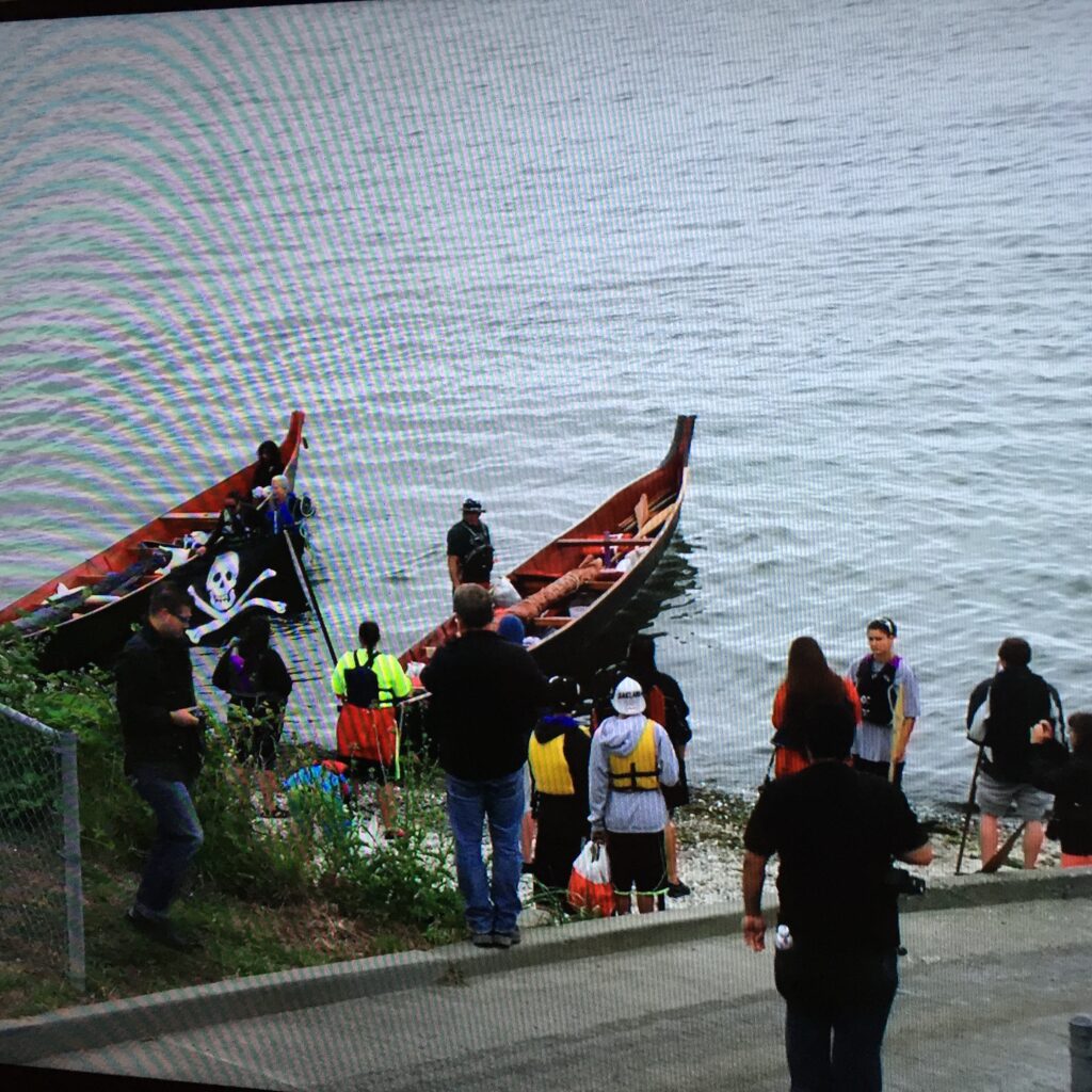
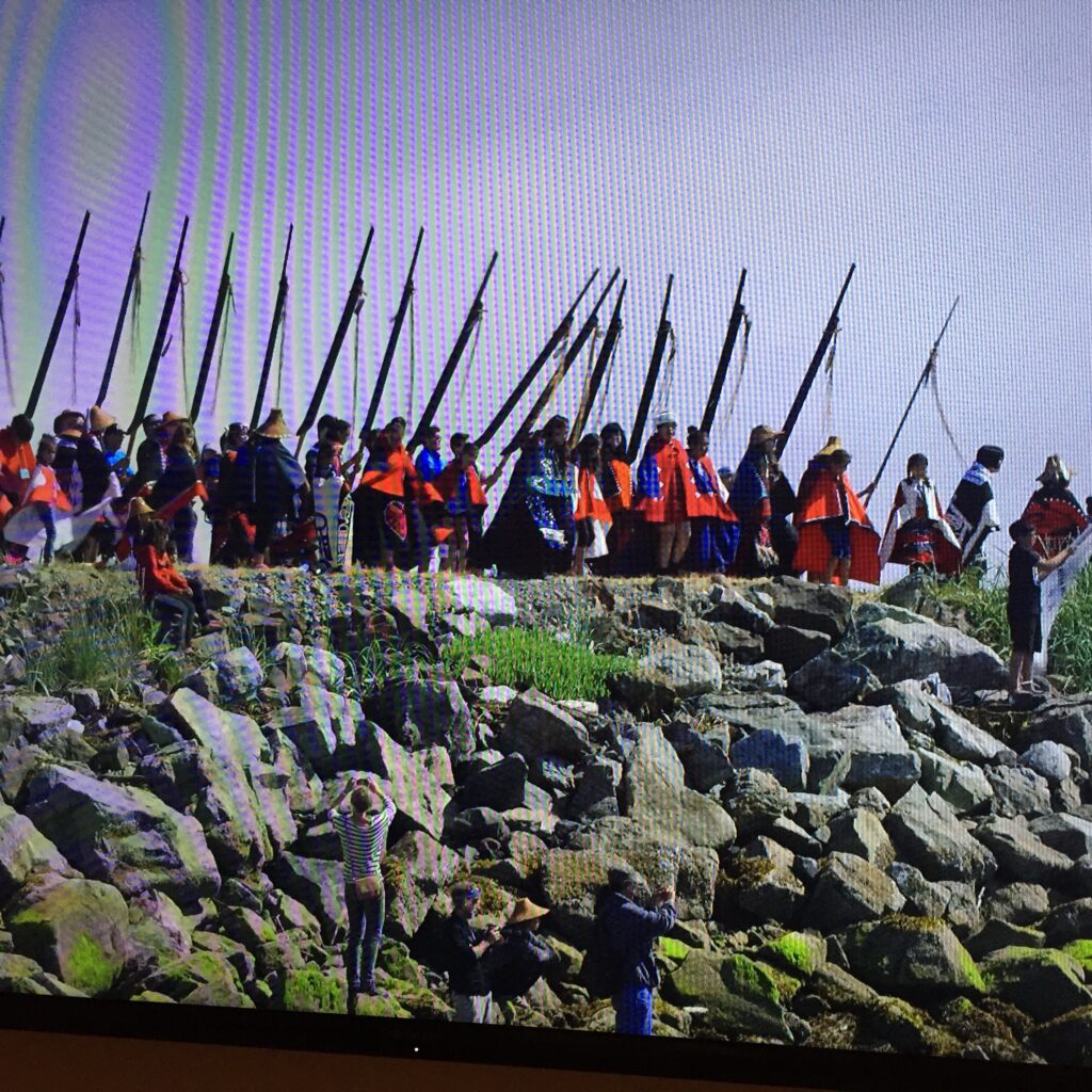
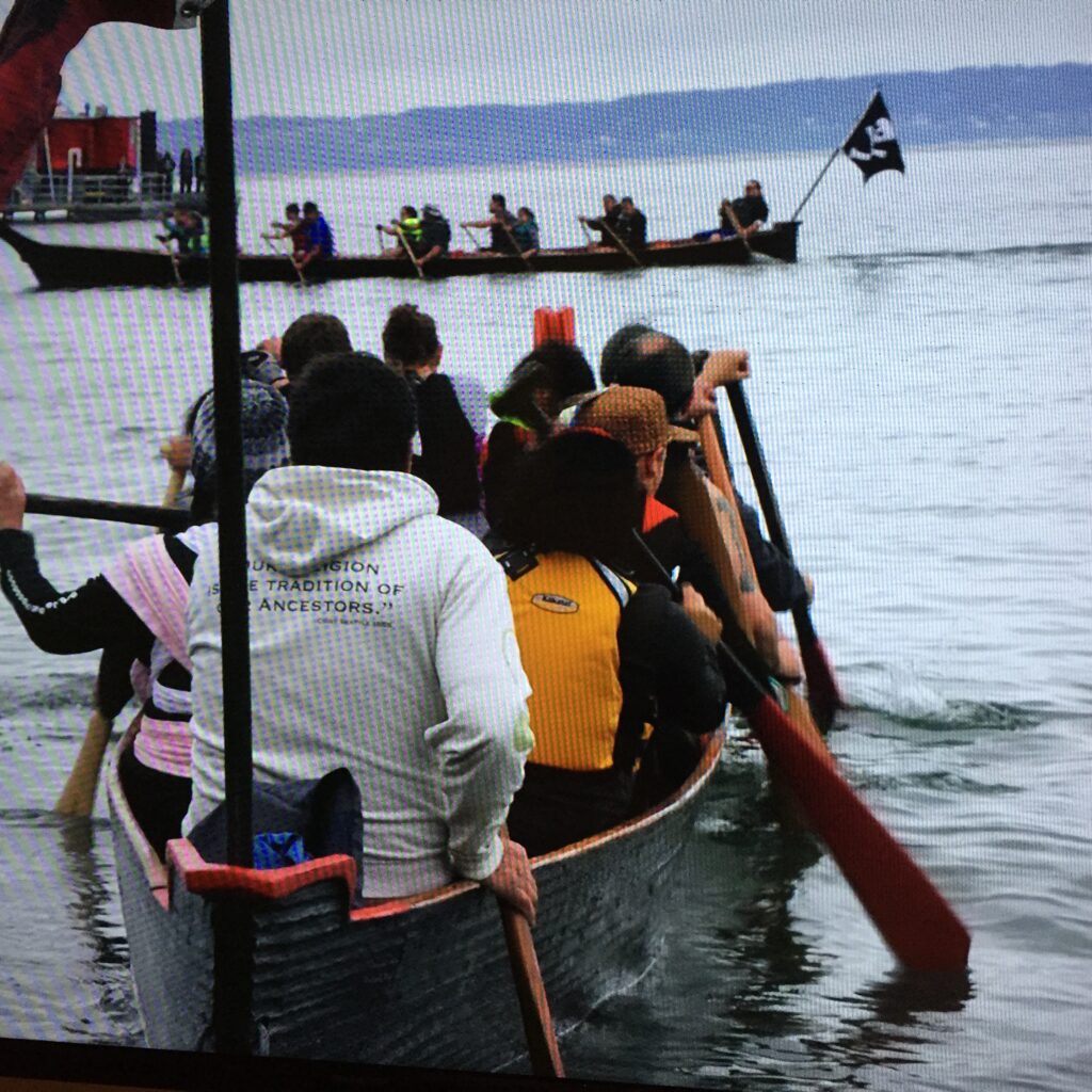
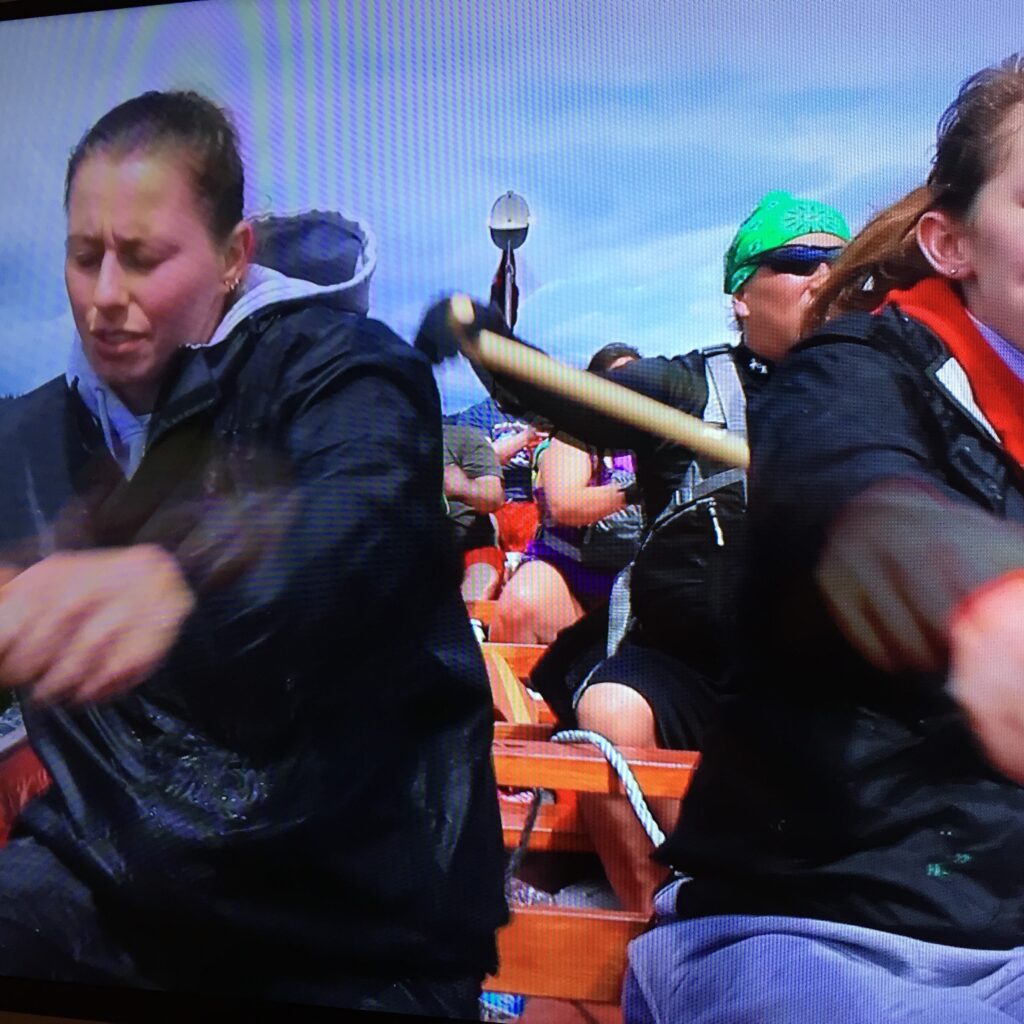
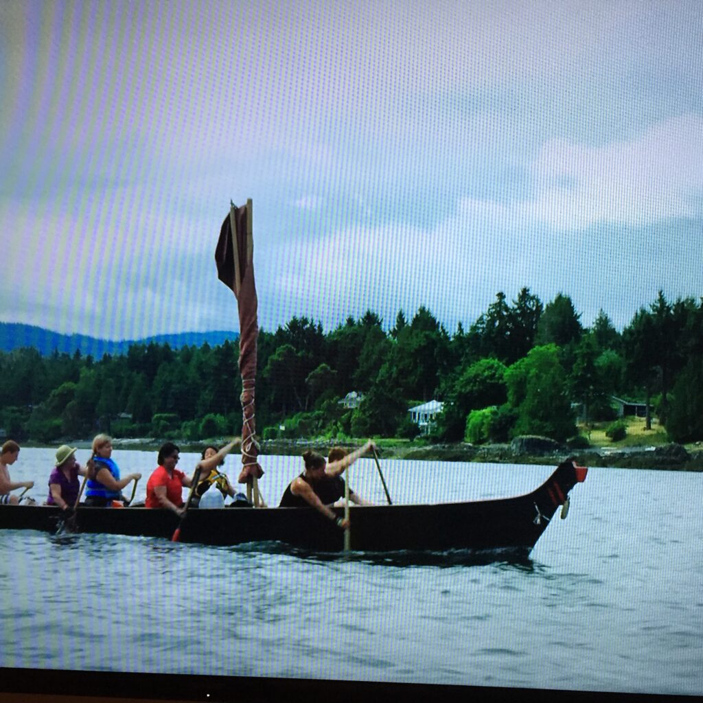
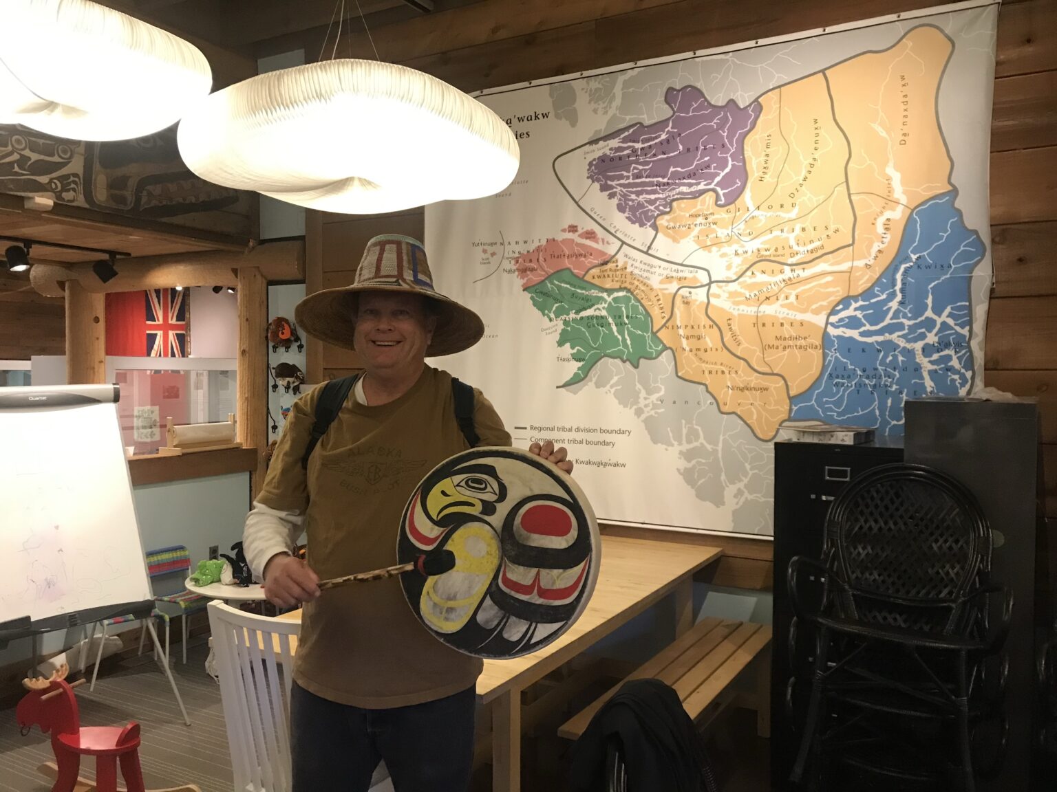
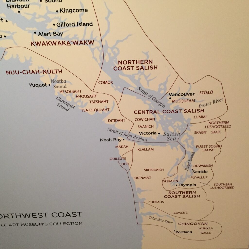
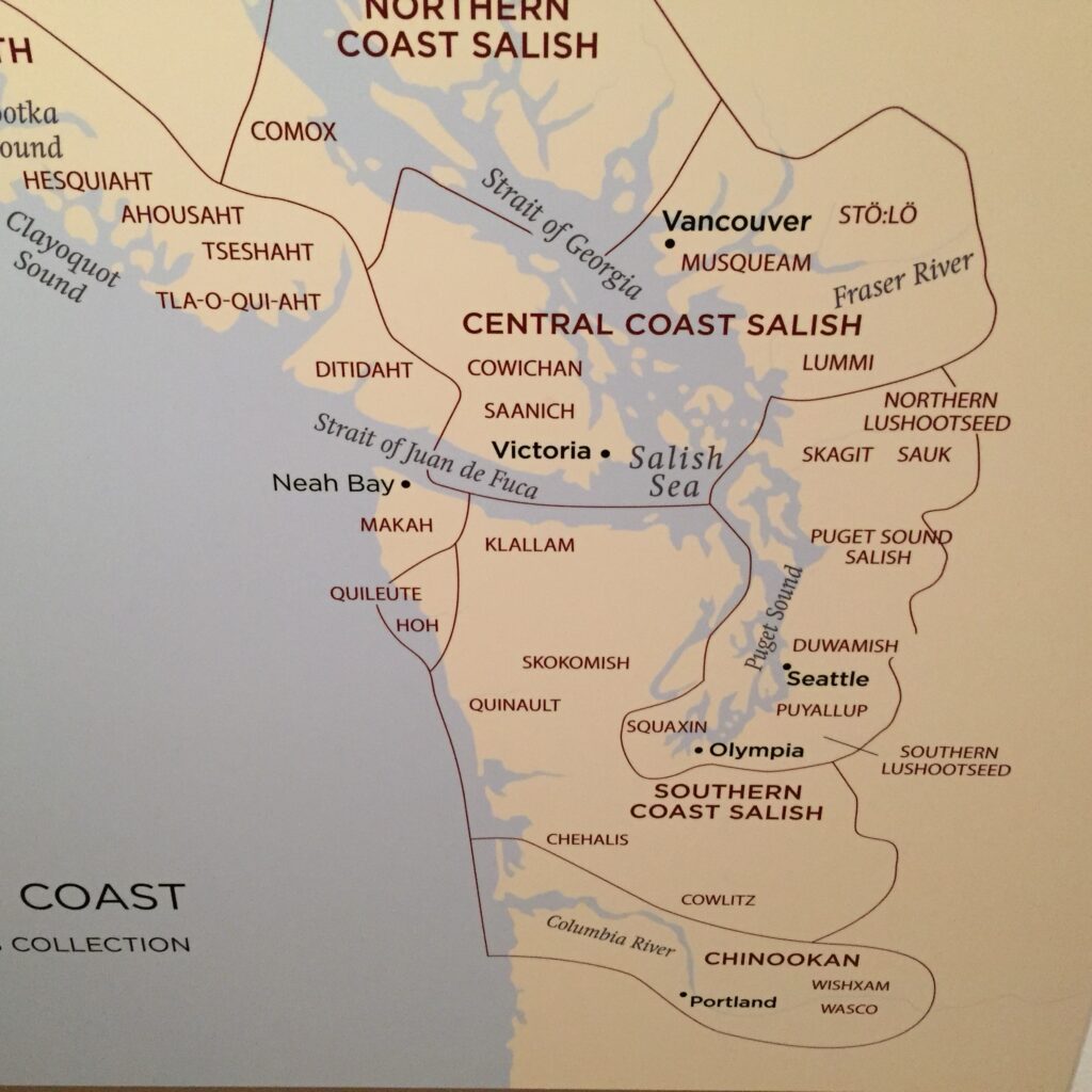
When circumnavigating Vancouver Island by sailboat, explorers will encounter several Indigenous communities at the discussed stops:
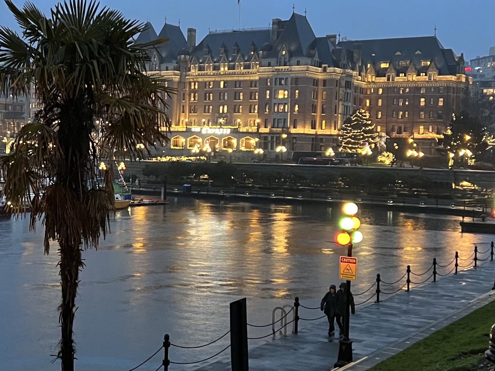
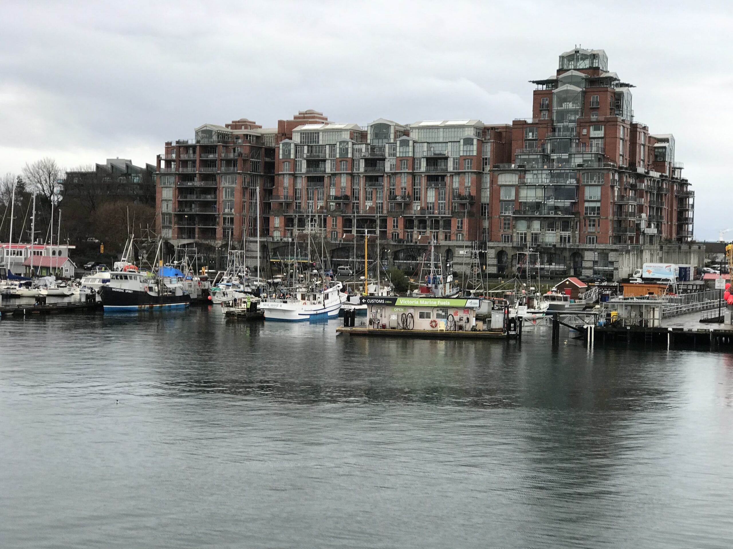
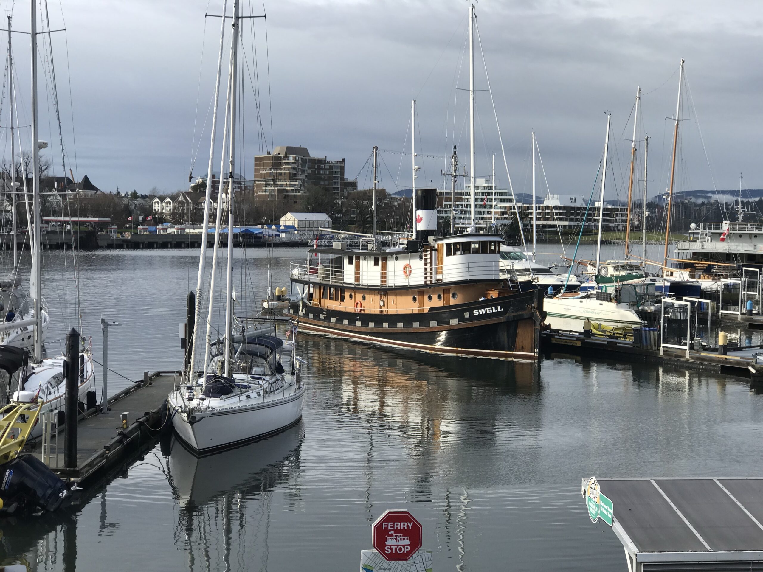
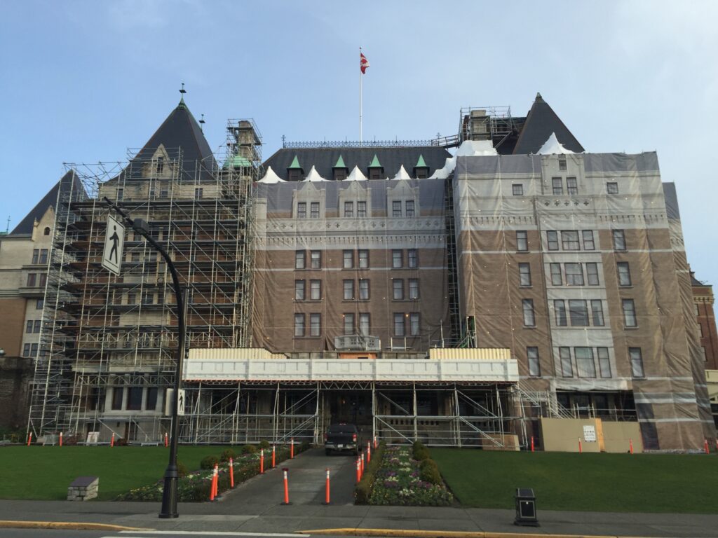
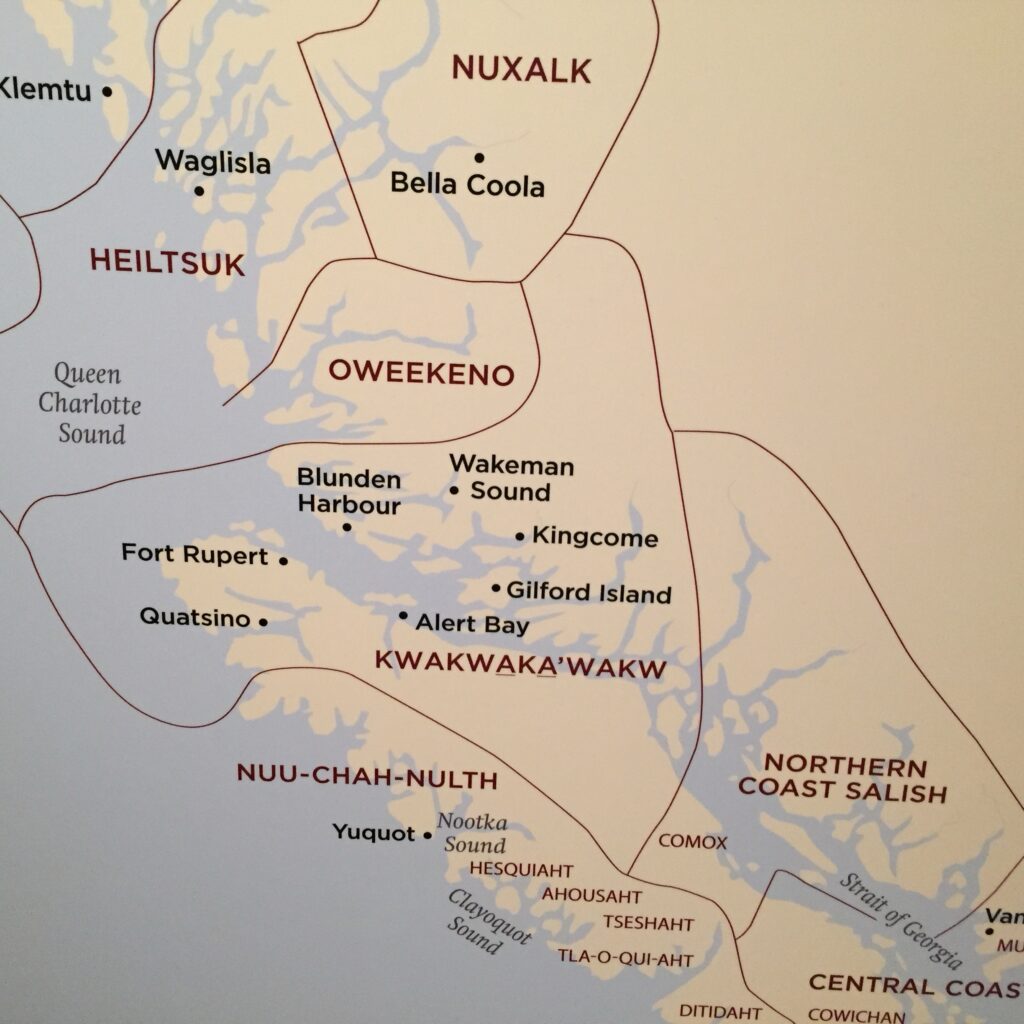
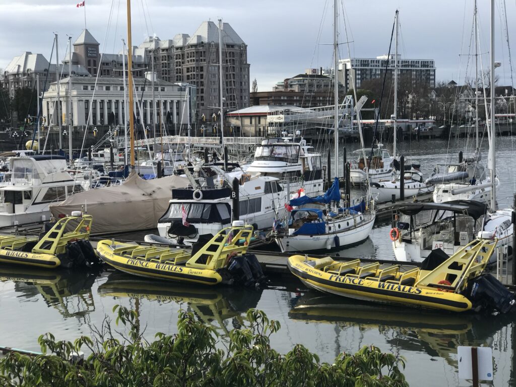
- Victoria: The Songhees and Esquimalt Nations, part of the Coast Salish peoples, are located here6.
- Hope Island (Bull Harbour): This area is part of the traditional territory of the Kwakwaka’wakw people12.
- Quatsino Sound: Home to the Quatsino First Nation, part of the Kwakwaka’wakw group15.
- Kyuquot Sound: Inhabited by the Kyuquot/Cheklesahht First Nations, belonging to the Nuu-chah-nulth tribal group24.
- Clayoquot Sound (Tofino): The Tla-o-qui-aht and Ahousaht First Nations, part of the Nuu-chah-nulth, reside here24.
To plan a sailboat trip from Seattle to Port Hardy along the east (Alaska Inside Passage) side of Vancouver Island, we’ll break down the journey into segments and calculate the total time required.


Let’s start with the distances and suggested stops:
Route Breakdown
- Seattle to Victoria: 66 nautical miles3
- Victoria to Nanaimo: 34 nautical miles
- Nanaimo to Comox: 50 nautical miles
- Comox to Campbell River: 31 nautical miles
- Campbell River to Port Hardy: 106 nautical miles1
Total distance: 287 nautical miles
Travel Plan
Day 1: Seattle to Victoria (66 nm)
- Travel time: 1 day
- Stay in Victoria for 24 hours
Day 2: Rest day in Victoria
Day 3: Victoria to Nanaimo (34 nm)
- Travel time: 1 day
- Stay in Nanaimo for 24 hours
Day 4: Rest day in Nanaimo
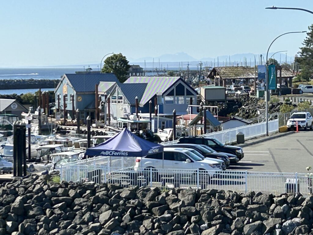
Day 5: Nanaimo to Comox (50 nm)
- Travel time: 1 day
- Stay in Comox for 24 hours
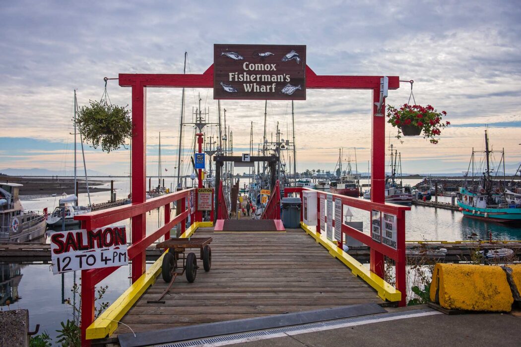
Day 6: Rest day in Comox
Day 7: Comox to Campbell River (31 nm)
- Travel time: 1 day
- Stay in Campbell River for 24 hours
Day 8: Rest day in Campbell River
Day 9: Campbell River to Port Hardy (106 nm)
- Travel time: 2 days (53 nm per day to stay under 100 nm daily limit)
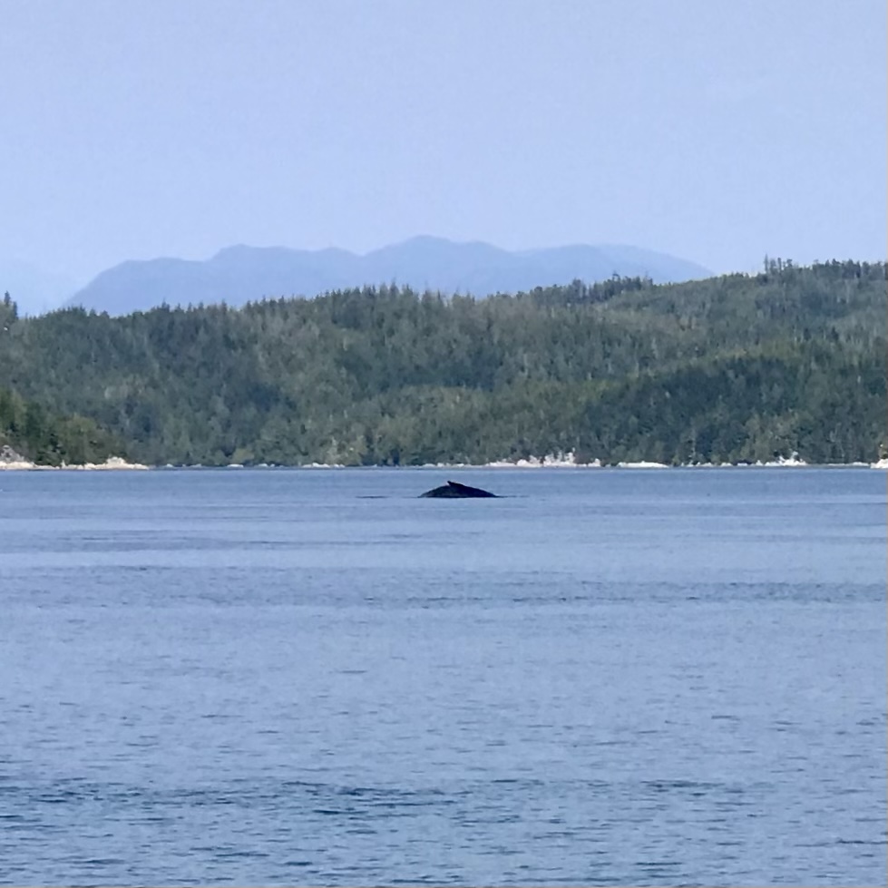
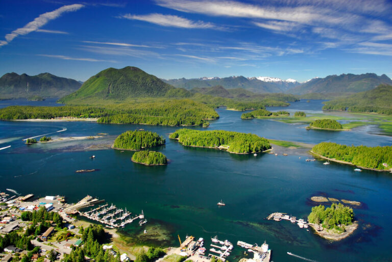
Campbell River to Port Hardy: Navigate through Johnstone Strait, with opportunities to visit the Broughton Archipelago, a highlight for its wilderness and marine life4.
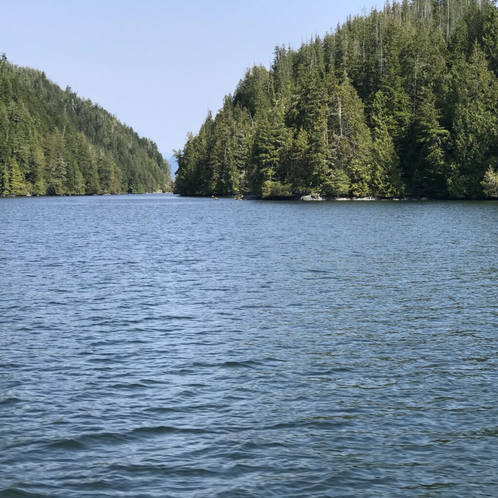
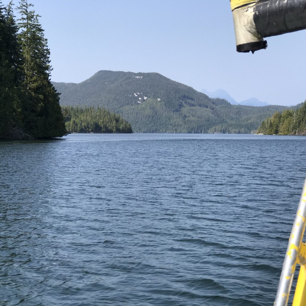
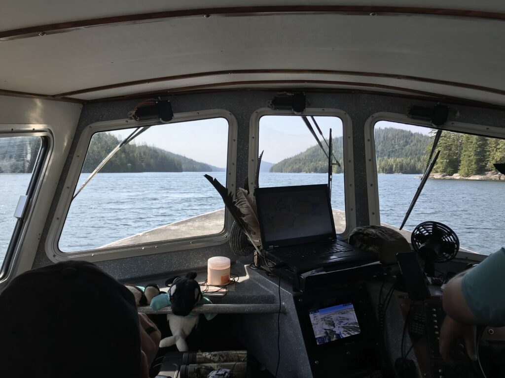
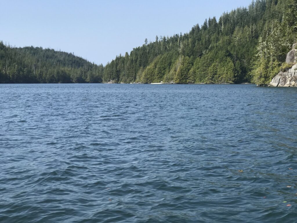
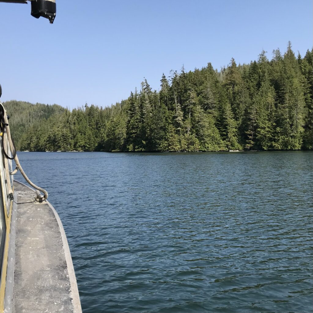
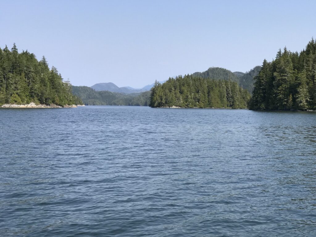
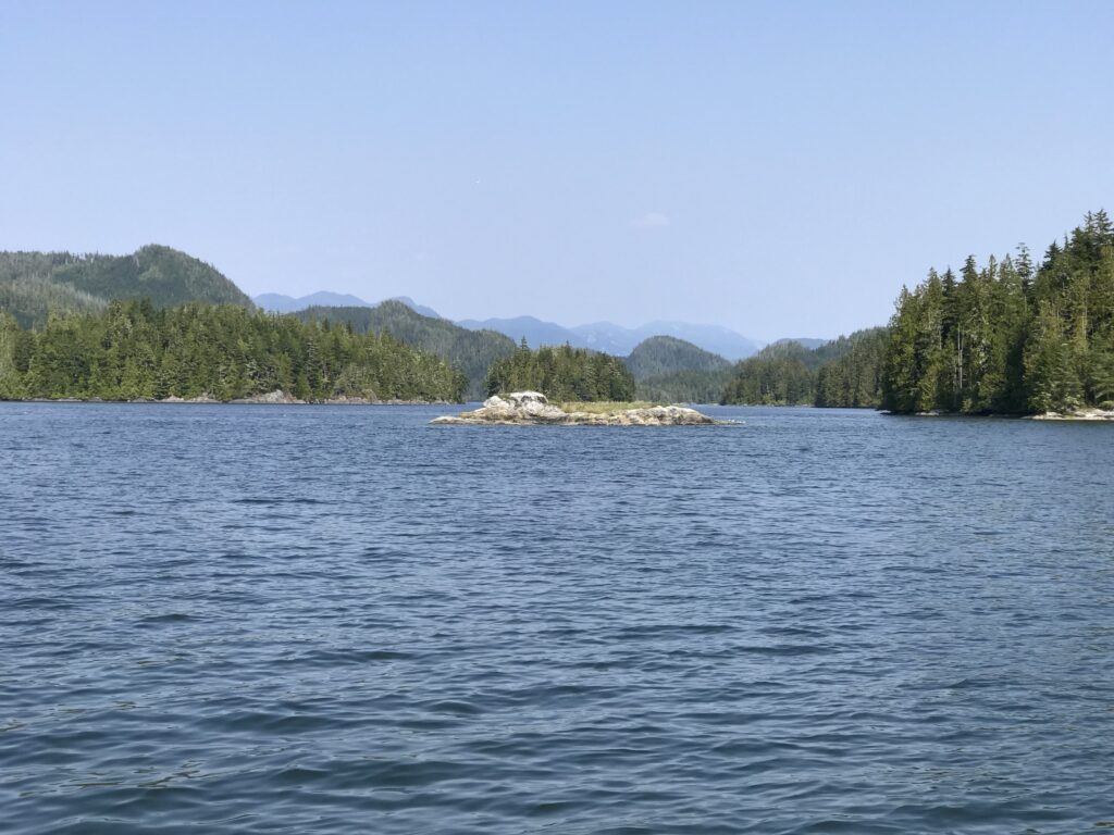
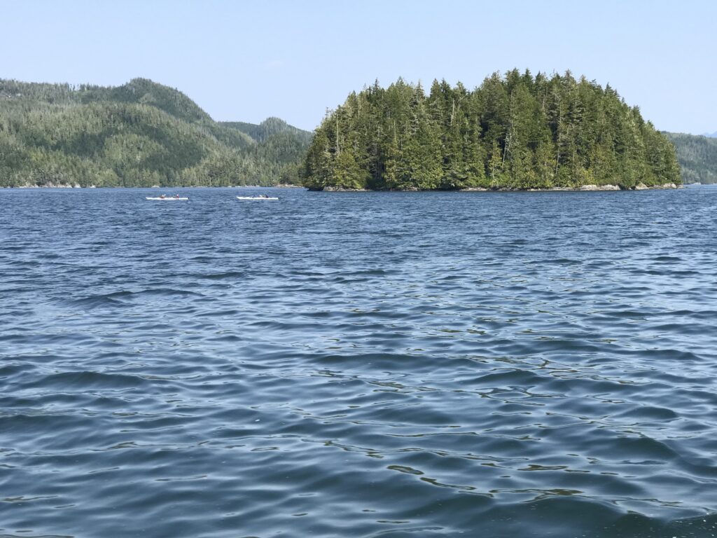
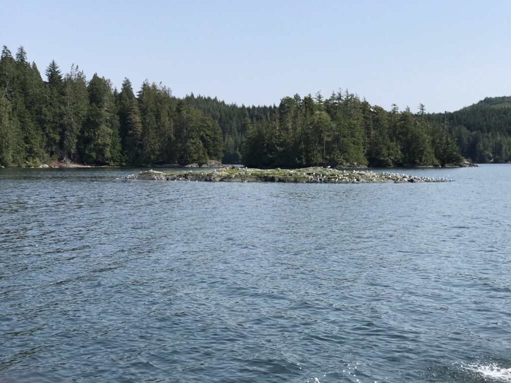
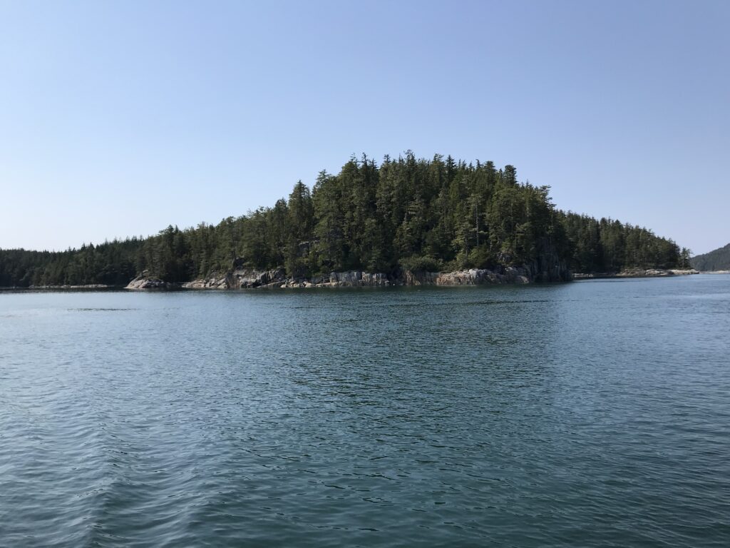
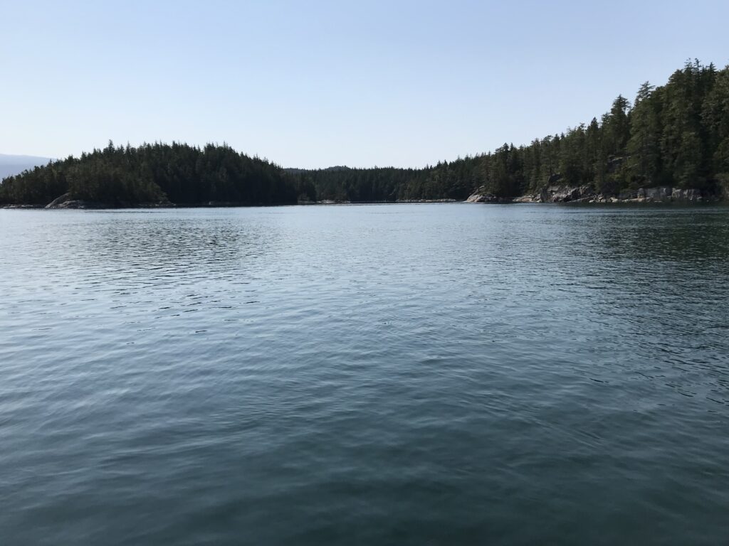
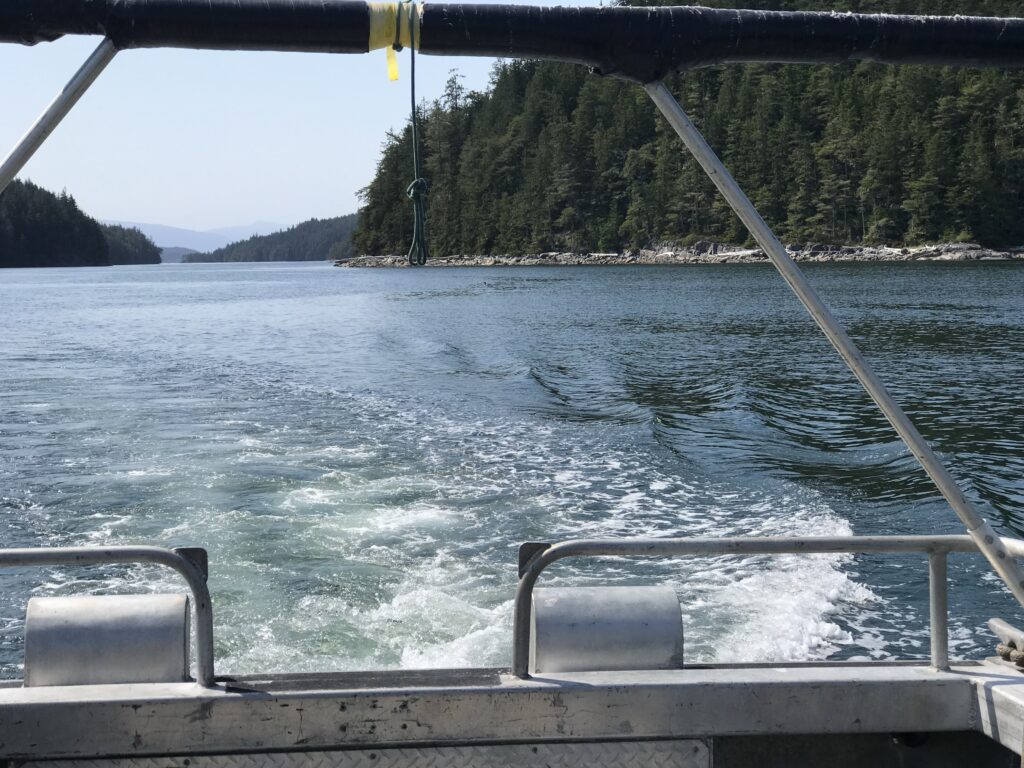
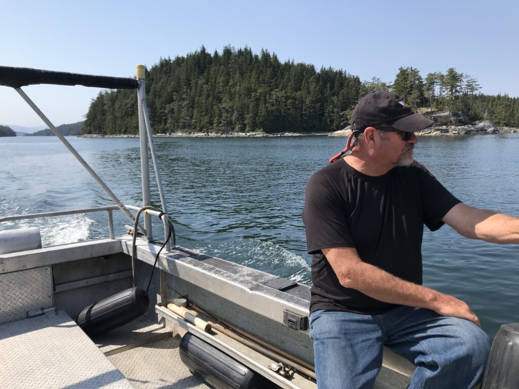
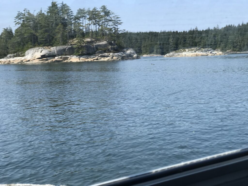
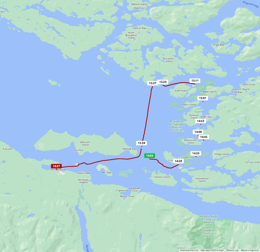
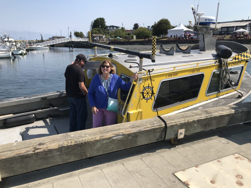
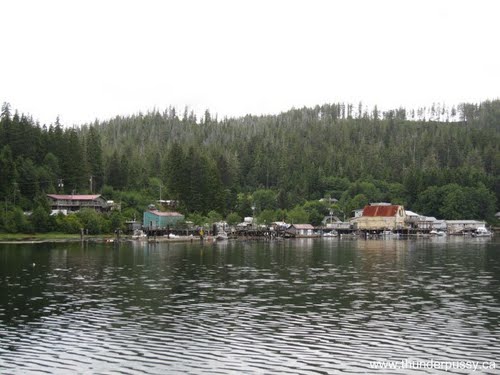
The photos above show how spending 24 hours in Port McNeill on the way to Port Hardy can afford a tour of the Broughton Archipelago Provincial Park to scout out anchorages.
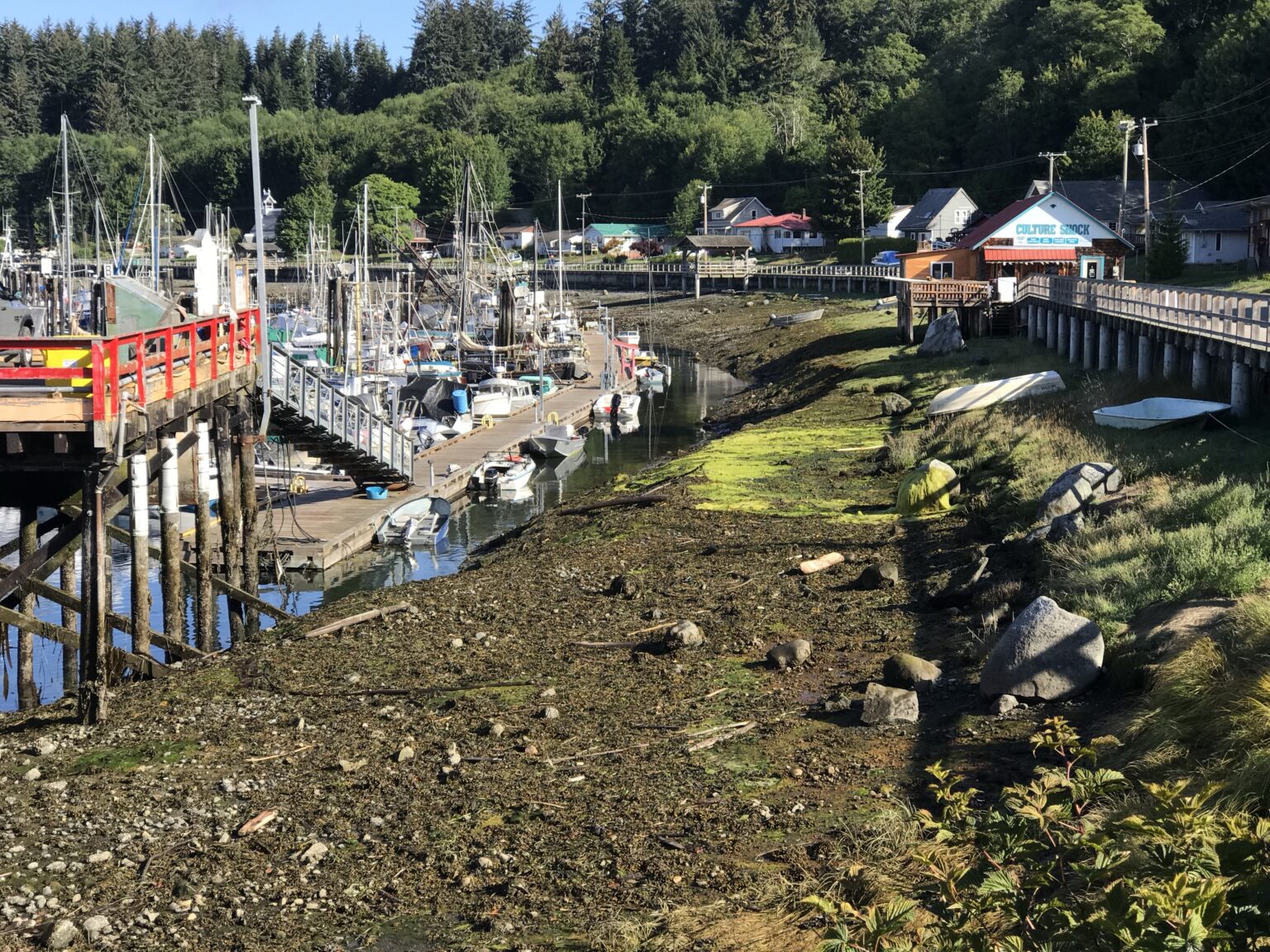
Alternatively you can take a ferry from Port McNeill to Alert Bay on Cormorant Island. The BC Ferries route operates regularly between Port McNeill, Alert Bay, and Sointula on Malcolm Island, with the trip from Port McNeill to Alert Bay taking approximately 45 minutes.
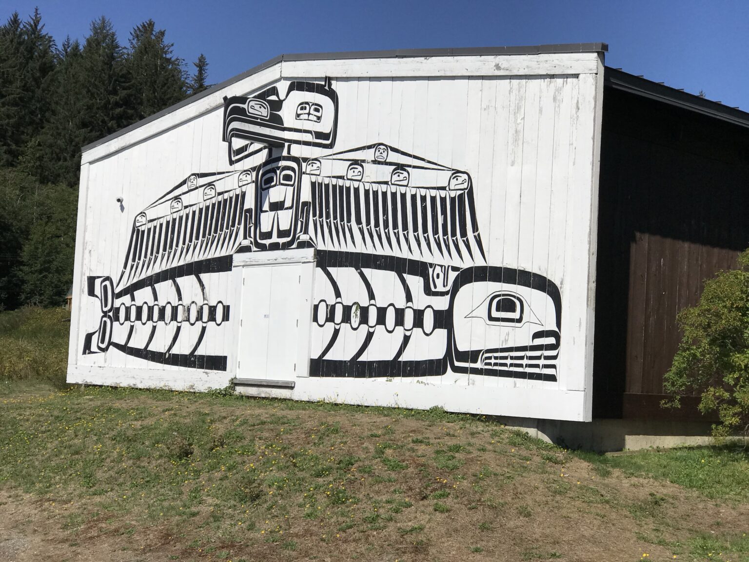
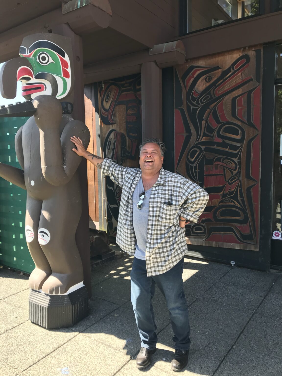
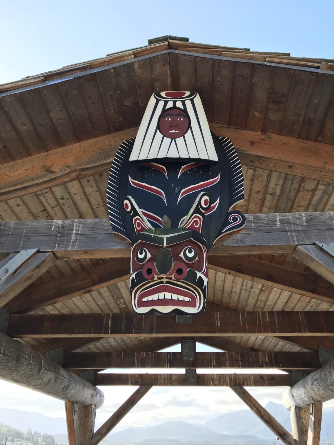
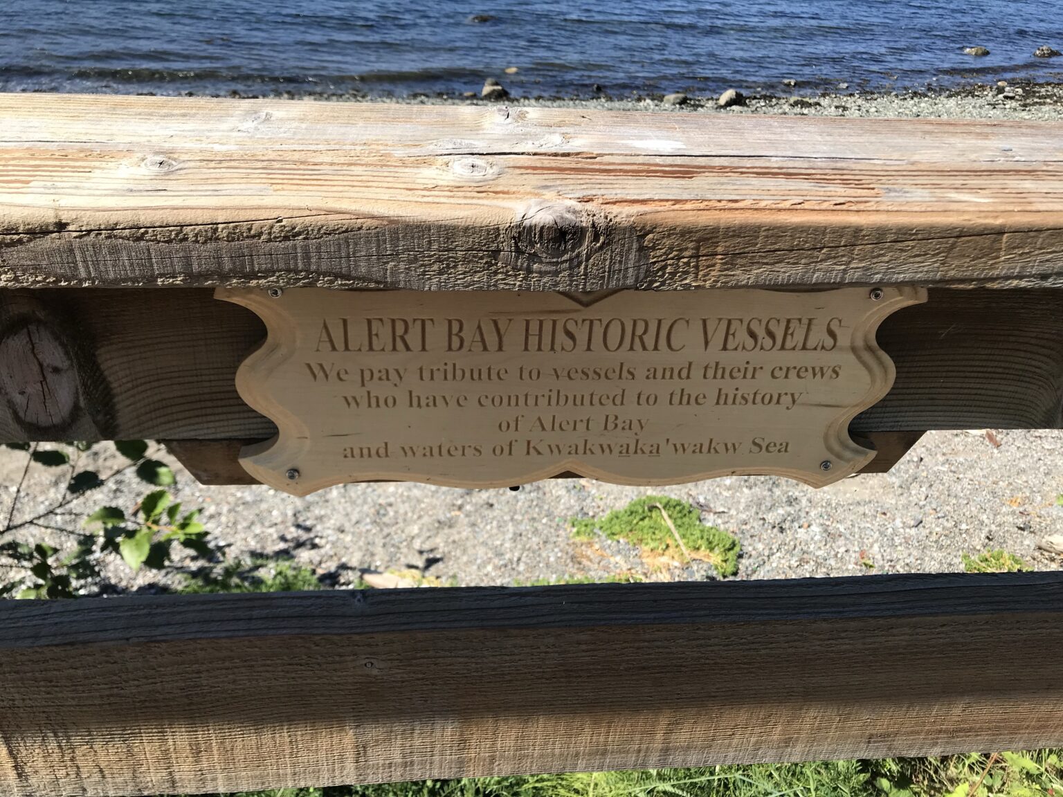
What is Noteworthy in Alert Bay?
Alert Bay is rich in cultural, historical, and natural attractions:
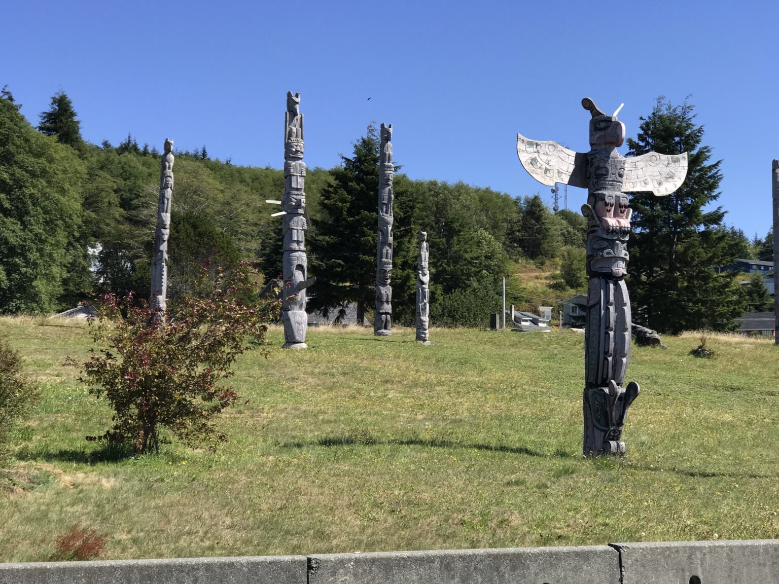
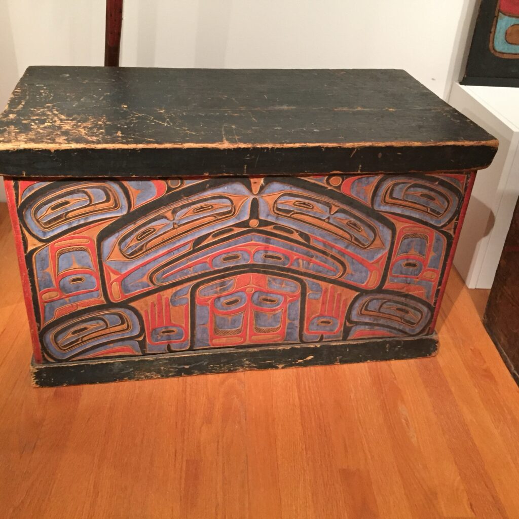
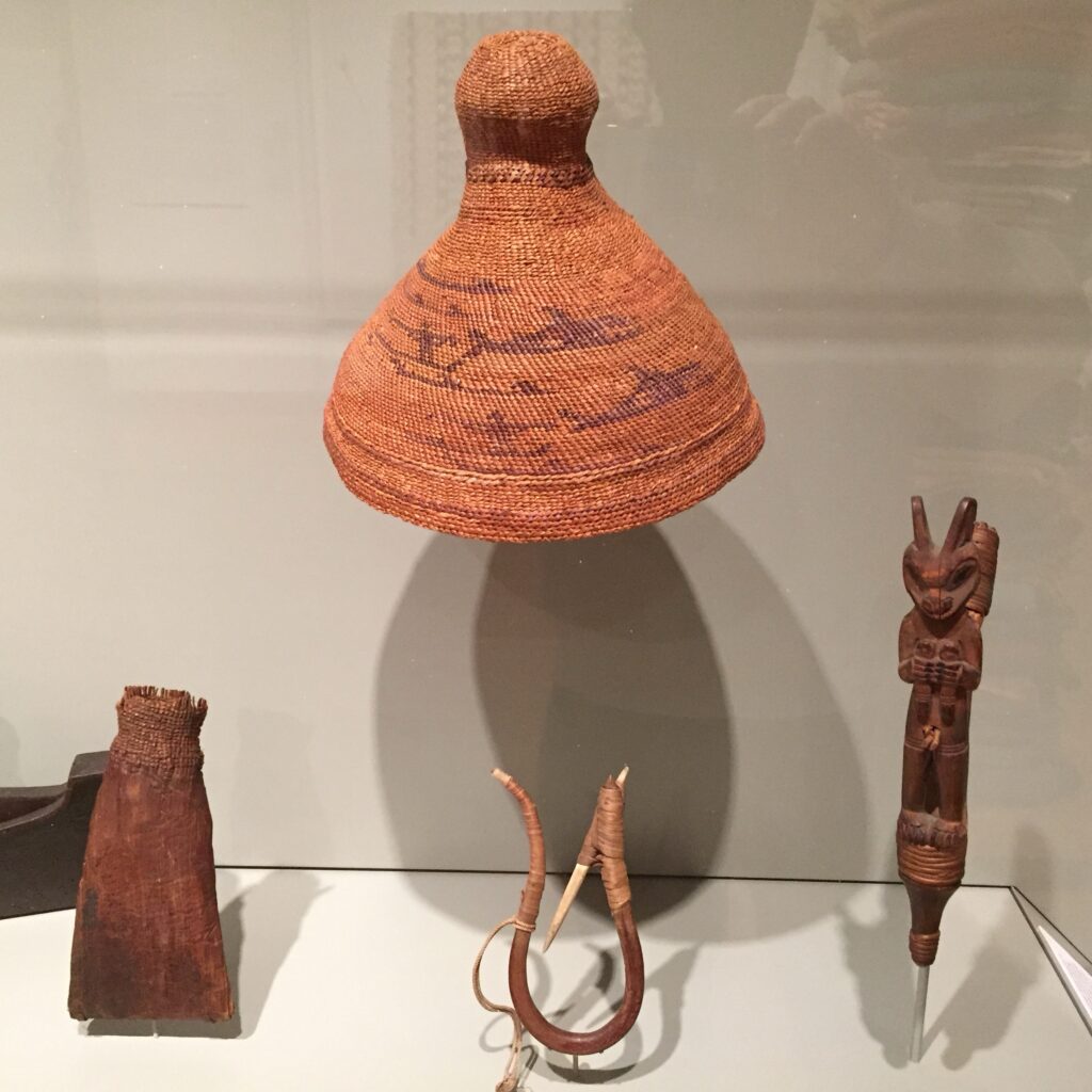
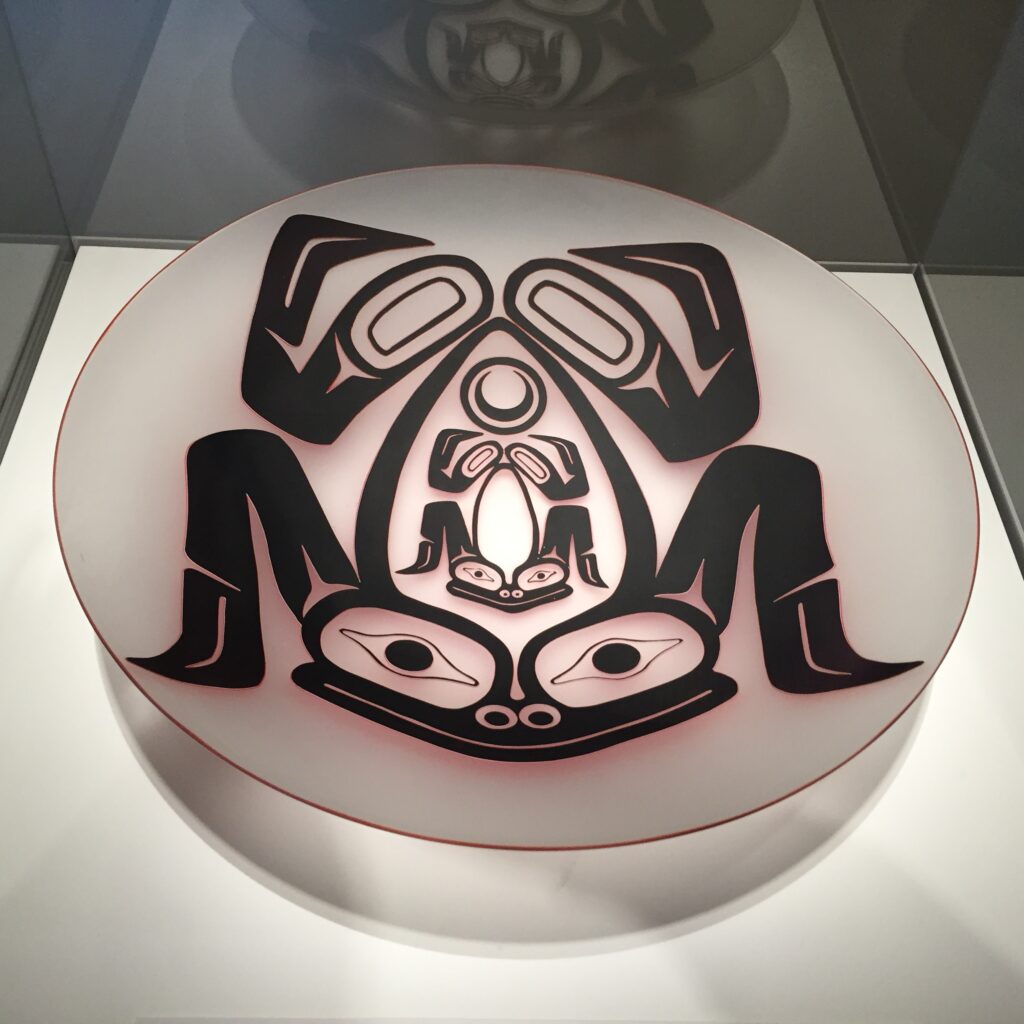
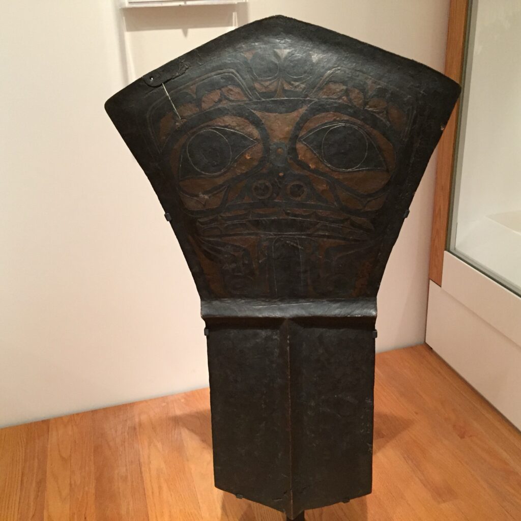
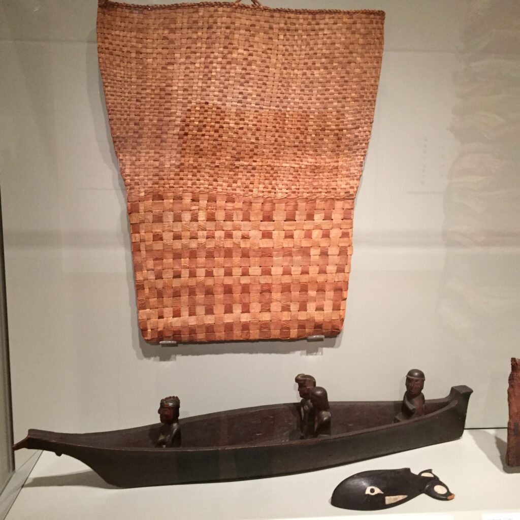
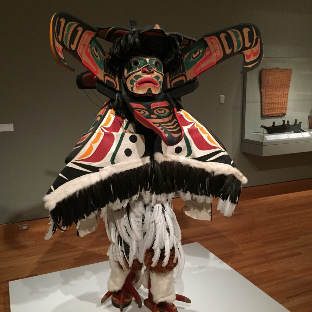
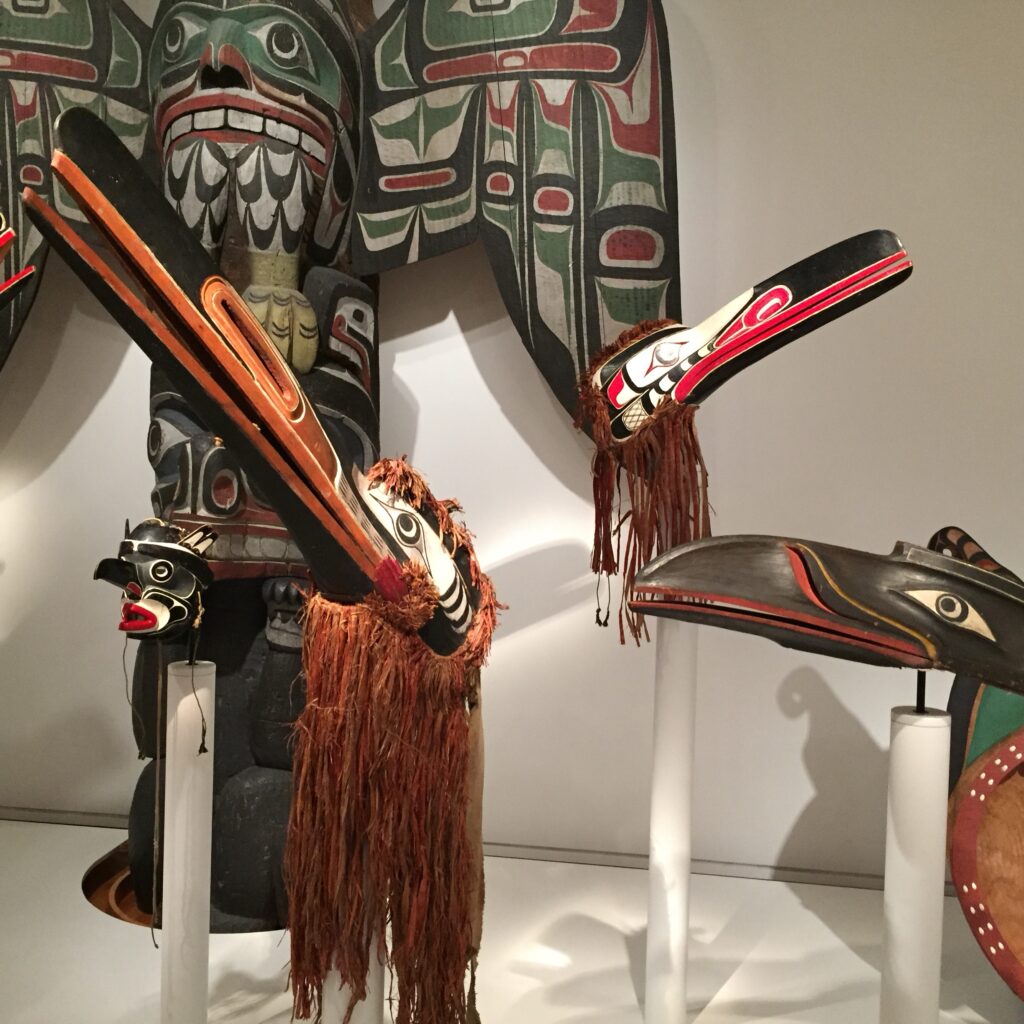
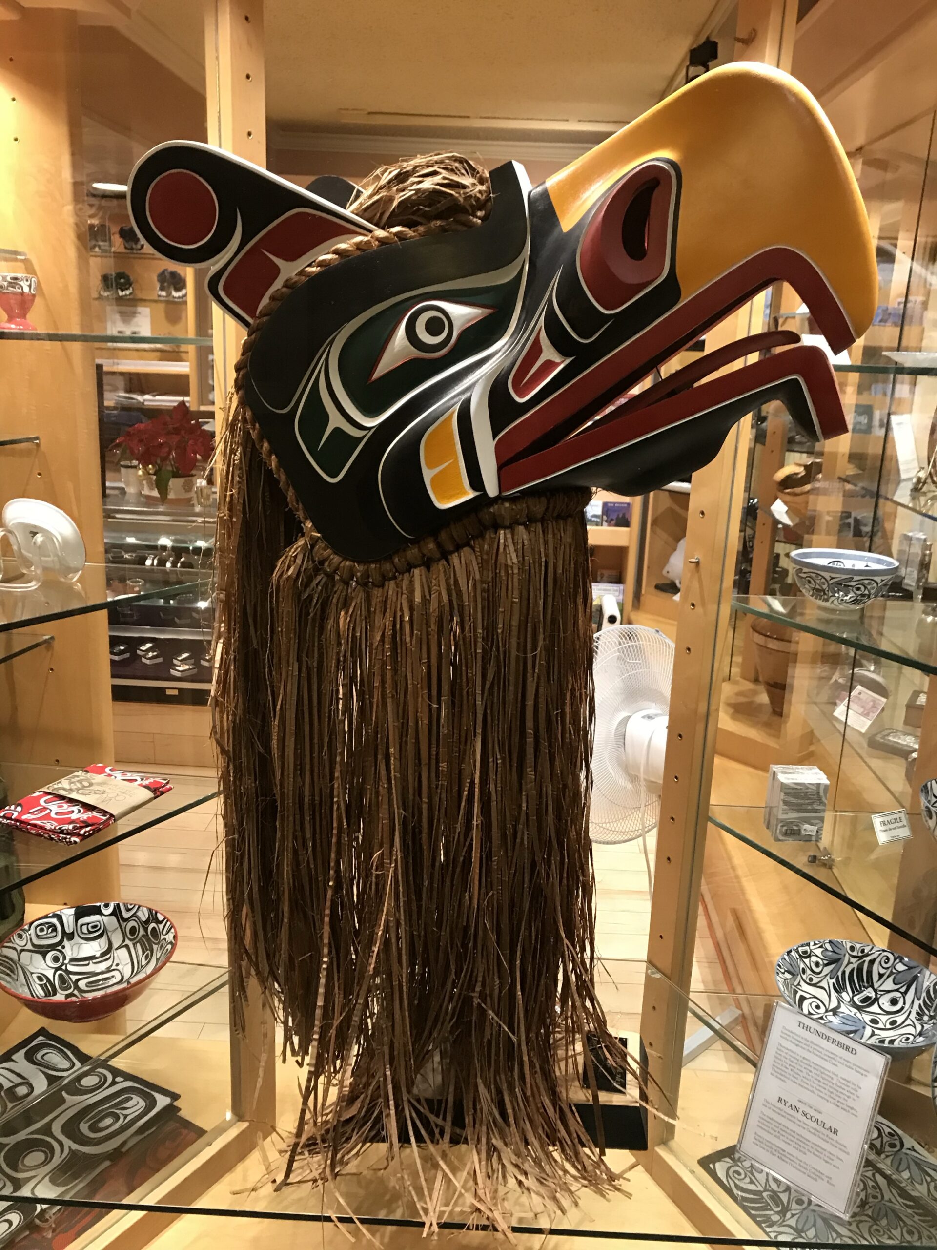
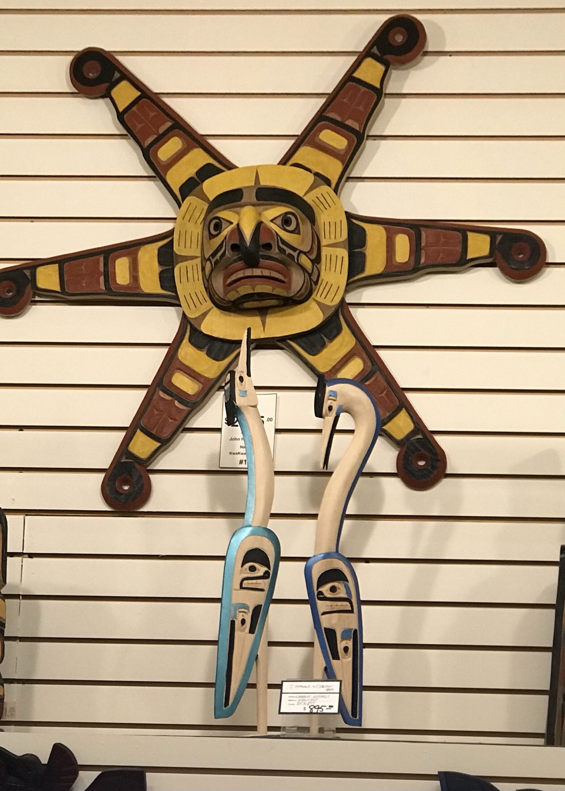
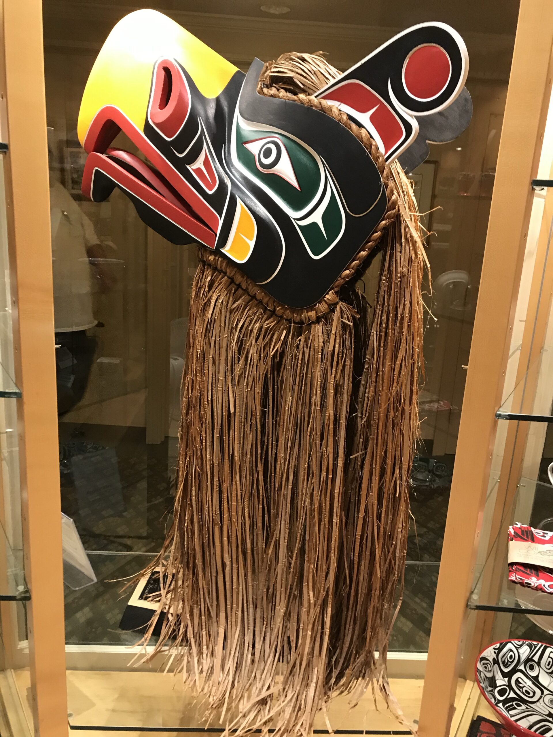
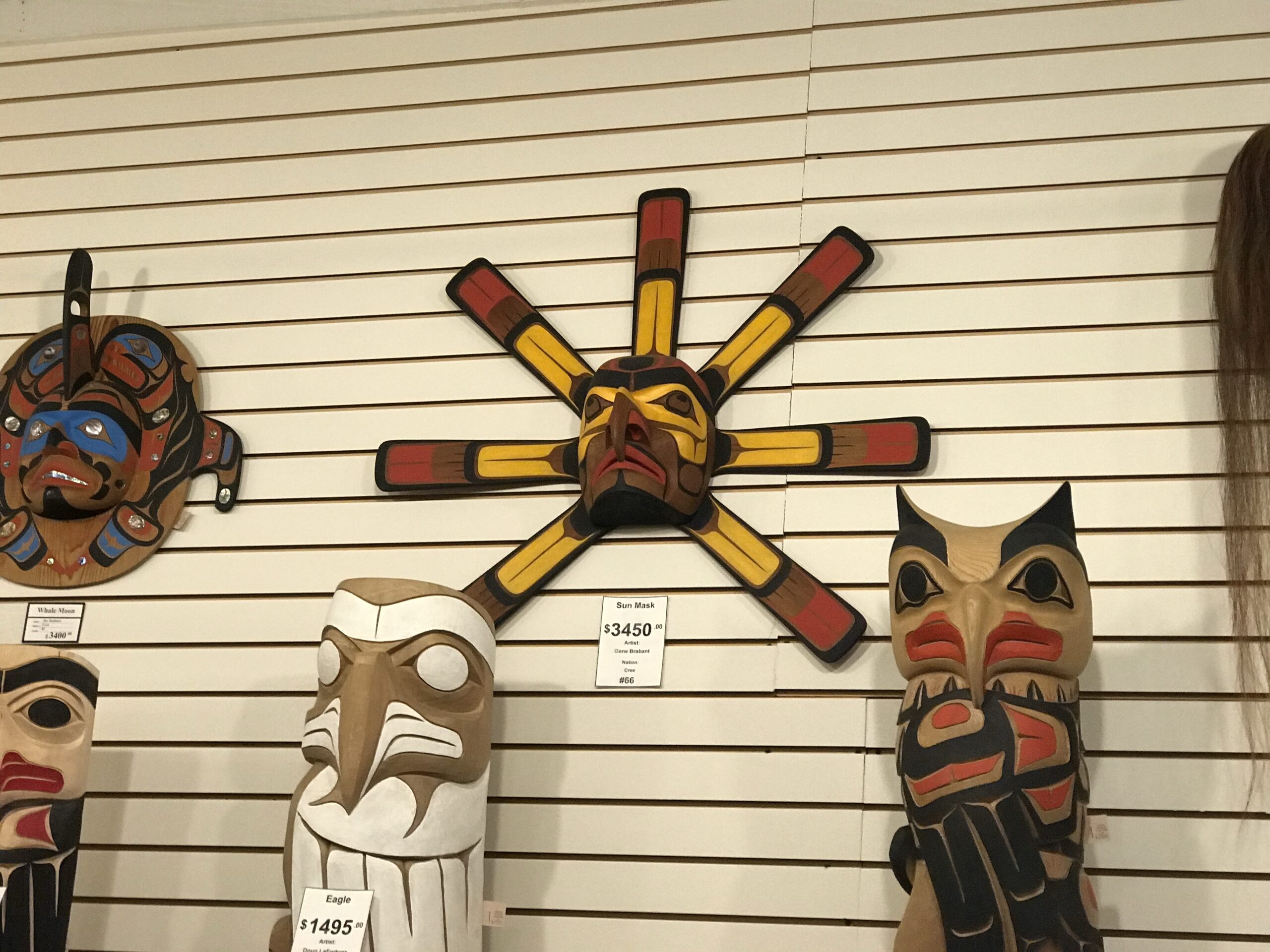
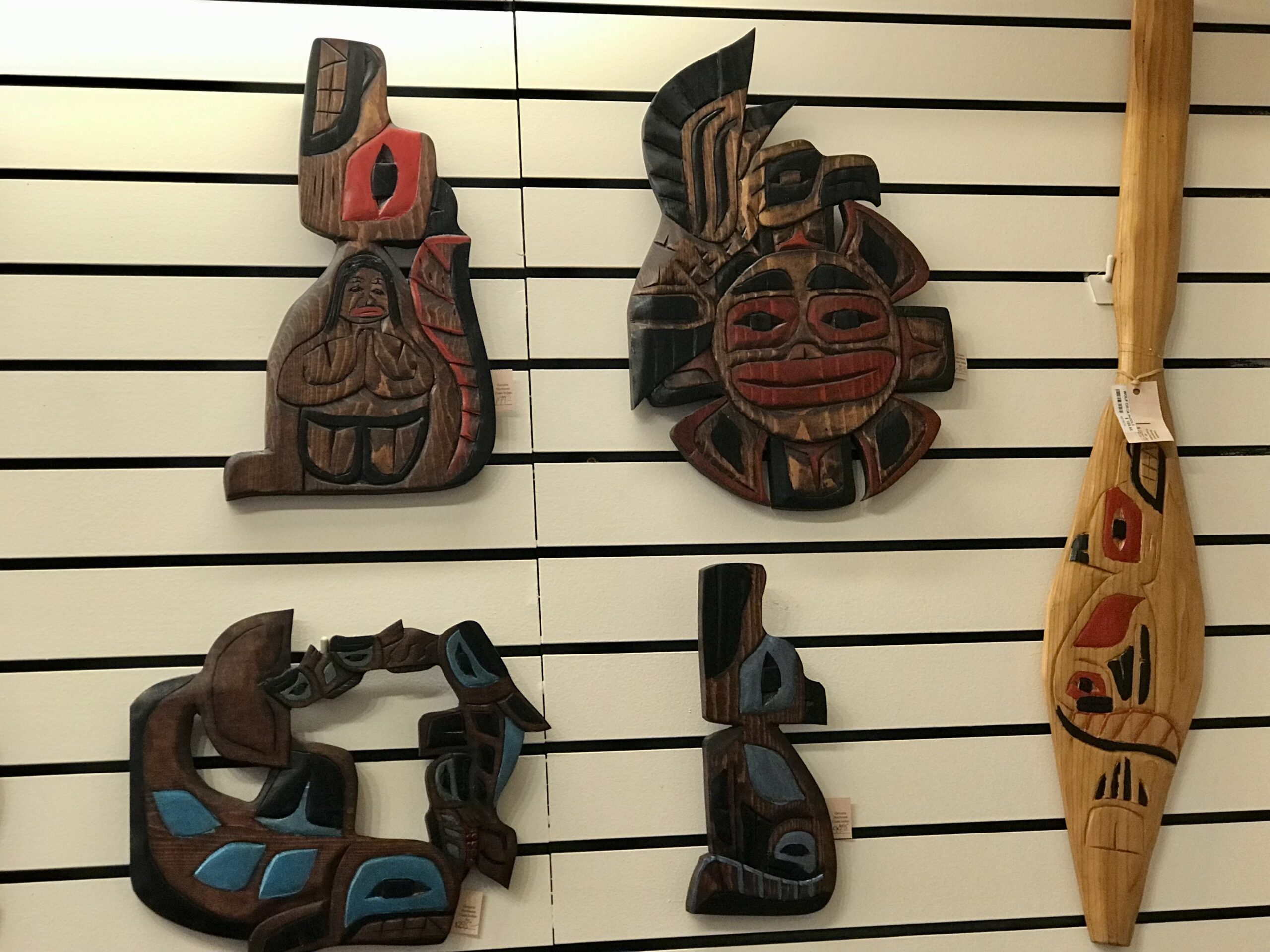
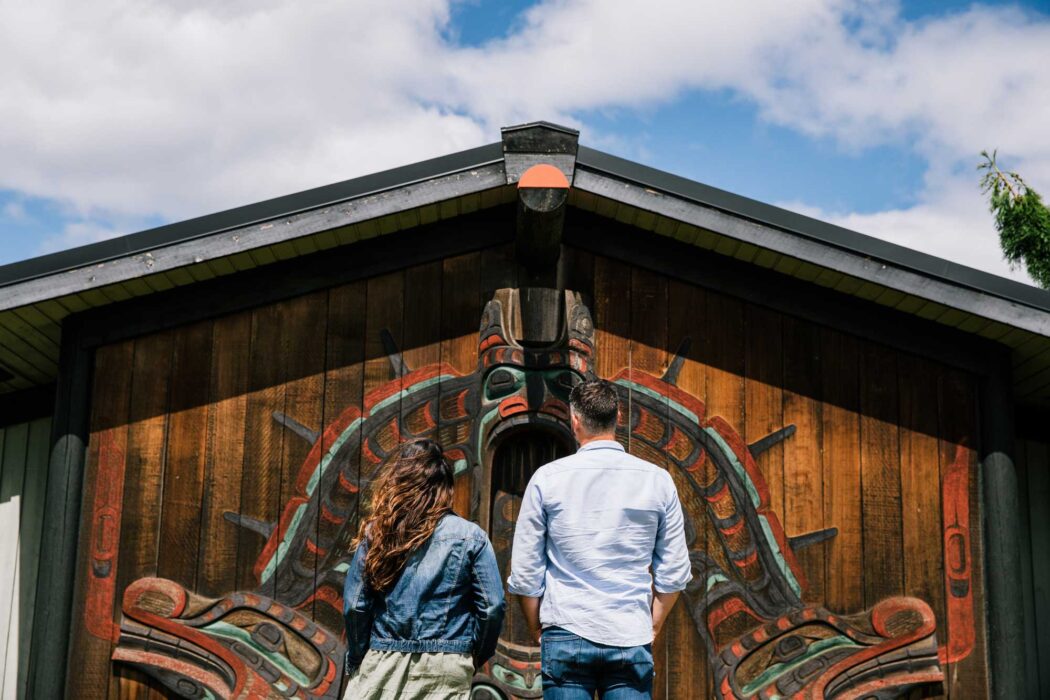
U’mista Cultural Centre: This museum showcases an extensive collection of Indigenous artifacts, including ceremonial masks and carvings, and educates visitors about the traditions of the Kwakwaka’wakw people.
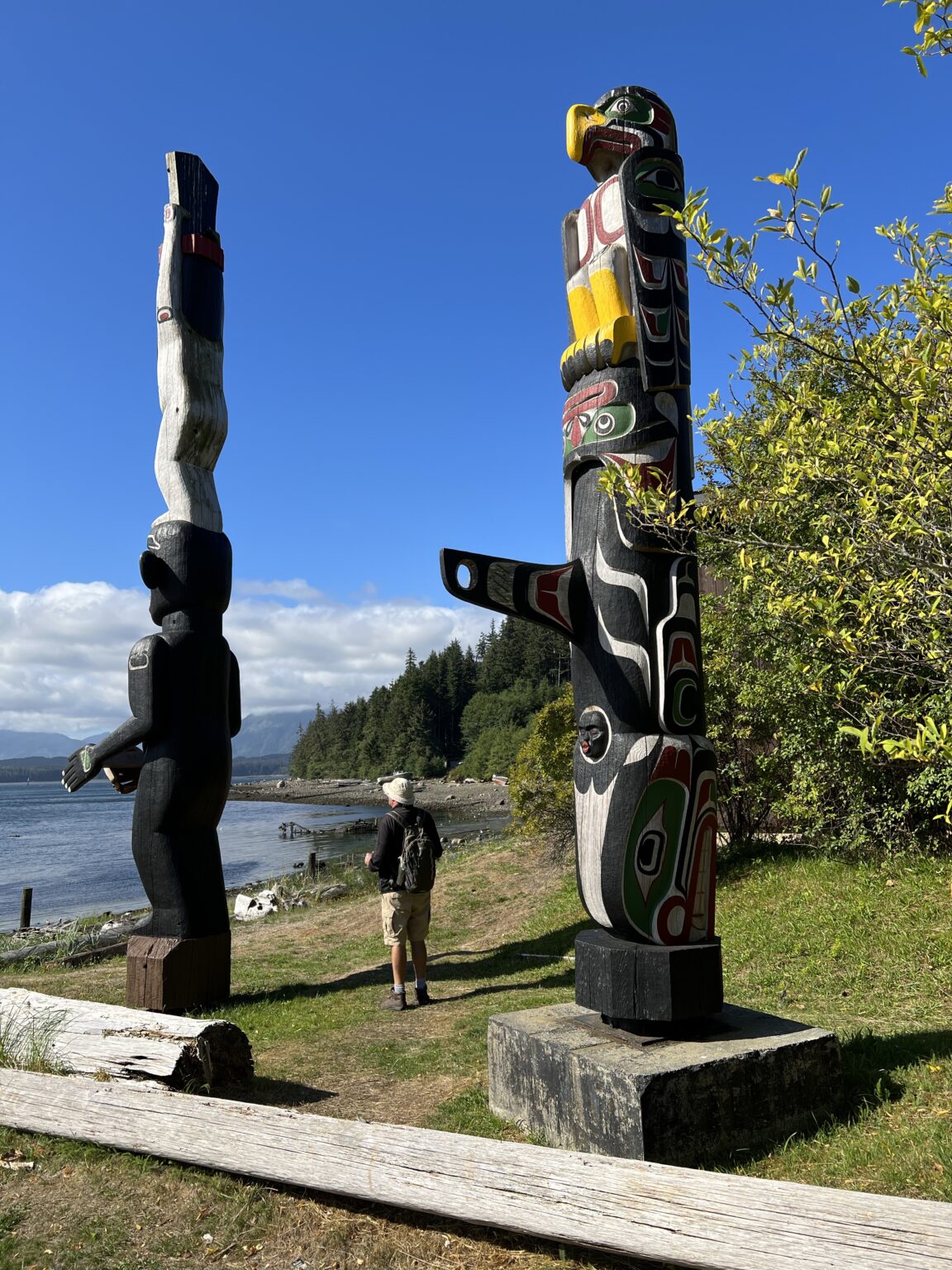
World’s Tallest Totem Pole: Standing at 173 feet (52 meters), this totem pole represents several Kwakwaka’wakw tribes and is located near the ‘Namgis Big House.
‘Namgis Big House: A cultural hub where traditional dance performances and ceremonies are held during summer months.
Alert Bay Ecological Park: Known as “Gator Gardens,” this park features trails through ancient forests, marshlands, and a salmon spawning stream. It’s ideal for birdwatching and exploring unique ecosystems.
Whale Watching and Wildlife Tours: The waters around Alert Bay are excellent for spotting orcas, humpback whales, dolphins, and sea lions.
Alert Bay Museum: This small museum offers historical photographs and artifacts that tell the story of the area’s early settlers and Indigenous communities.
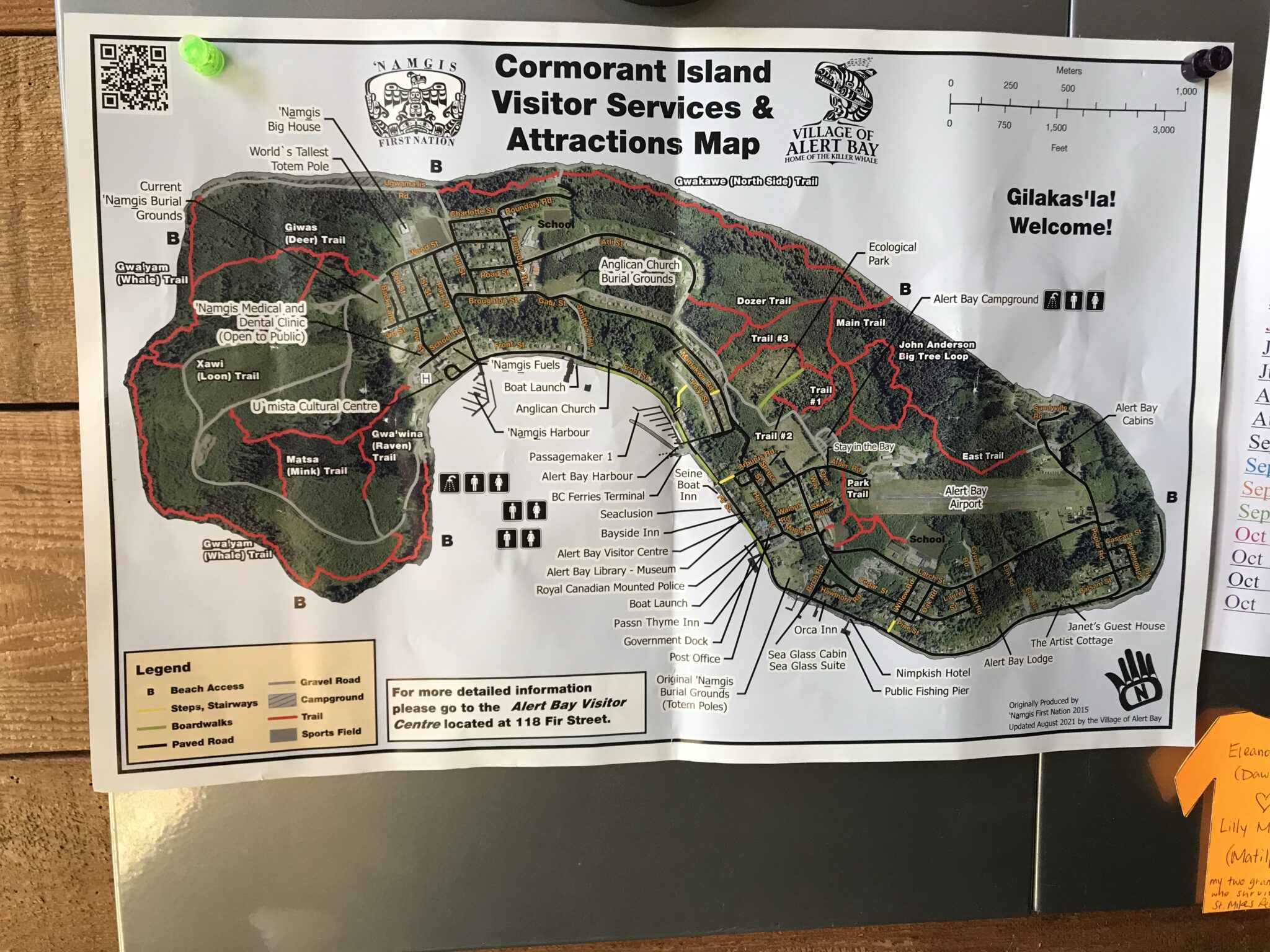
Kayaking Adventures: Paddle through the serene waters around Cormorant Island to explore hidden coves and marine life.
Alert Bay provides a blend of cultural heritage, natural beauty, and outdoor activities that make it a unique stop for explorers.
Day 10: Arrive in Port Hardy
Total Trip Duration
The entire trip would take 10 days, including:
- 5 travel days
- 4 rest days (24-hour stays at each stop)
- 1 additional day due to splitting the Campbell River to Port Hardy leg into two days
This itinerary respects the 100 nautical miles per day limit and includes at least 24-hour stays at each stop. The trip offers a balanced mix of sailing and exploration time, allowing you to enjoy each location along the beautiful east coast of Vancouver Island.
The best times of year to sail from Seattle to Port Hardy are generally late spring and early fall. Here’s why:
Spring (Late April to June)
Spring offers several advantages for sailing this route:
- More consistent winds, providing better sailing conditions4.
- Fewer crowds compared to peak summer season.
- Longer daylight hours for navigation.
However, spring weather can still be unpredictable, with the possibility of late-season storms.
Fall (September to Early October)
Early fall is another excellent time for this journey:
- September brings a transition from summer to fall weather patterns, offering diverse sailing conditions3.
- Winds are generally more reliable than in summer.
- Water temperatures are still relatively warm from the summer (around 55°F or 12.8°C in Puget Sound)3.
Summer Considerations
While summer (July and August) is popular for cruising, it may not be ideal for sailing:
- Light winds are common, often requiring more motoring than sailing2.
- Busier waterways and more crowded anchorages.
Winter Limitations
Winter sailing (November to March) is generally not recommended due to:
- Harsh weather conditions and storms.
- Shorter daylight hours.
- Colder temperatures and rougher seas.
When planning your trip, consider that wind patterns can vary significantly along the route. The Inside Passage, which you’ll likely follow, offers protected waters but can still present challenging conditions5. Always check current weather forecasts and be prepared for changing conditions throughout your journey.
We are suggesting that the circumnavigation is best planned as two trips so that prevailing favorable weather conditions may be accounted for and that the boat be put up or stored at Port Hardy for whatever time period is necessary to start the greater wilderness return by the West Side of the island.
If the boat is trailerable it might be returned to Seattle, as we did in 2002 and then repositioned at Port Hardy in August for completion of the circumnavigation.
This is because the calmest weather for sailing from Port Hardy to Seattle along the west side of Vancouver Island typically occurs in late summer to early fall, specifically in August and September.
During these months, the weather is generally more stable with lighter winds compared to other times of the year. This period also tends to have fewer storms and more predictable weather patterns, making it ideal for a smoother sailing experience.
To plan a sailboat trip from Port Hardy to Seattle along the west side of Vancouver Island, we’ll outline the route, including stops and travel days, while adhering to the 100 nautical miles per day limit and 24-hour stays at each stop.
Route Breakdown
- Port Hardy to Hope Island (Bull Harbour): Approximately 20 nautical miles
- Hope Island to Quatsino Sound: Approximately 60 nautical miles
- Quatsino Sound to Kyuquot Sound: Approximately 50 nautical miles
- Kyuquot Sound to Clayoquot Sound (Tofino): Approximately 100 nautical miles
- Clayoquot Sound to Barkley Sound: Approximately 50 nautical miles
- Barkley Sound to Victoria: Approximately 110 nautical miles (split into two days)
- Victoria to Seattle: Approximately 75 nautical miles
Total distance: Approximately 465 nautical miles
Travel Plan
Day 1: Port Hardy to Hope Island (20 nm)
- Travel time: 1 day
- Stay in Bull Harbour for 24 hours
Day 2: Rest day on Hope Island
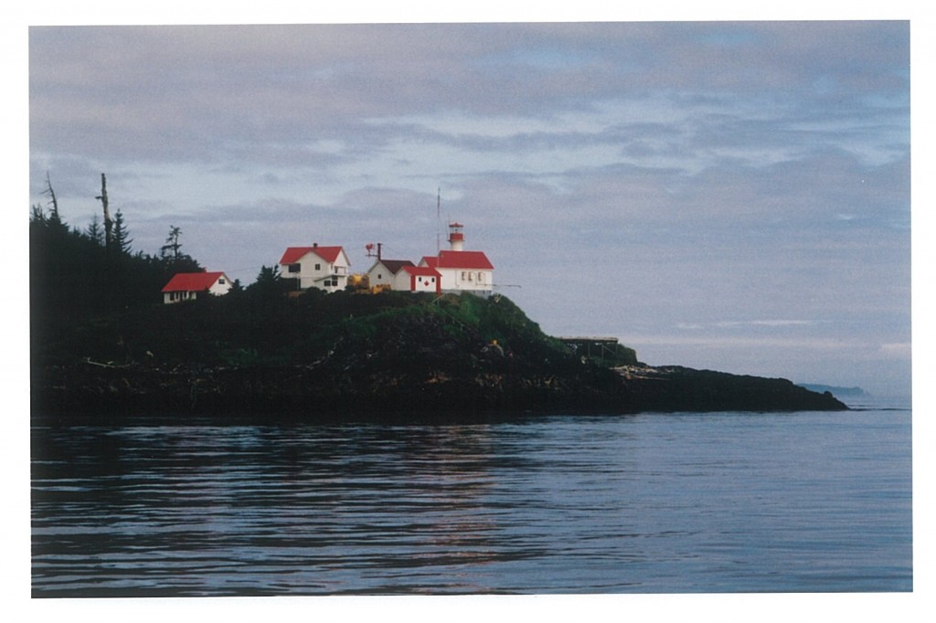
Hope Island (Bull Harbour): Offers secluded beaches and opportunities to explore the rugged coastal landscape. Boats wait here to time passage through Nakwakto Rapids.
Navigating Nakwakto Rapids requires careful planning and adherence to specific safety guidelines:
Timing is Critical
- Transit only at slack tide, which lasts only about six minutes1.
- Use official Canadian tide tables for accurate timing, as some apps can be off by up to ten minutes1.
- Aim to reach the rapids exactly at slack tide to ensure safe passage3.
Current Awareness
- Be prepared for extreme currents, which can reach up to 14.5 knots on the ebb and 11.5 knots on the flood1.
- Even an hour before slack, currents can still run at about three knots5.
Channel Navigation
- Choose between Slingsby Channel (northern) or Schooner Channel (southern) for approach1.
- Slingsby Channel requires caution, especially during early summer due to massive runoff8.
- Schooner Channel is not advisable without local knowledge1.
Communication and Vigilance
- Make a security call on VHF Channel 16 before entering the rapids1.
- Watch for log tows, especially at high-water slack in Nakwakto and on the ebb in Schooner Channel1.
Additional Precautions
- Be aware of potential hazards like whirlpools and boils at peak current flow7.
- Ensure your vessel is capable of handling strong currents and have experienced crew.
- Have a contingency plan in case you miss the slack tide window.
By following these safety tips and respecting the power of Nakwakto Rapids, mariners can navigate this challenging passage more safely.
Day 3: Hope Island to Quatsino Sound (60 nm)
- Travel time: 1 day
- Stay in Quatsino Sound for 24 hours
Day 4: Rest day in Quatsino Sound
Day 5: Quatsino Sound to Kyuquot Sound (50 nm)
- Travel time: 1 day
- Stay in Kyuquot Sound for 24 hours

Day 6: Rest day in Kyuquot Sound
Day 7: Kyuquot Sound to Clayoquot Sound (Tofino) (100 nm)
- Travel time: 1 day
- Stay in Clayoquot Sound for 24 hours
Day 8: Rest day in Clayoquot Sound
Day 9: Clayoquot Sound to Barkley Sound (50 nm)
- Travel time: 1 day
- Stay in Barkley Sound for 24 hours
Day 10: Rest day in Barkley Sound

Day 11: Barkley Sound to Victoria (110 nm, split into two days)
- Travel time: Day 11 and Day 12
- Stay in Victoria for 24 hours after arrival on Day 12
Day 13: Rest day in Victoria
Day 14: Victoria to Seattle (75 nm)
- Travel time: 1 day
Total Trip Duration
The entire trip would take approximately 14 days, including:
- 7 travel days
- 6 rest days
- 1 additional travel day split due to the distance from Barkley Sound to Victoria
This itinerary allows for a leisurely pace with ample time at each stop, providing opportunities to explore the scenic west coast of Vancouver Island while adhering to the travel constraints.

Explorers circumnavigating Vancouver Island by sailboat will find a variety of attractions and activities at the stops discussed:
- Hope Island (Bull Harbour): Offers secluded beaches and opportunities to explore the rugged coastal landscape.
- Quatsino Sound: Known for its remote beauty, it provides excellent fishing and wildlife viewing opportunities, including sightings of whales and sea otters6.
- Kyuquot Sound: A prime location for kayaking, fishing, and camping. It features abundant marine life, including humpback whales and orcas, as well as cultural sites of the Ka:’yu:’k’t’h’/Chek’tles7et’h’ First Nations610.
- Clayoquot Sound (Tofino): Famous for surfing, wildlife tours, and the Pacific Rim National Park, which offers stunning beaches and old-growth rainforests14.
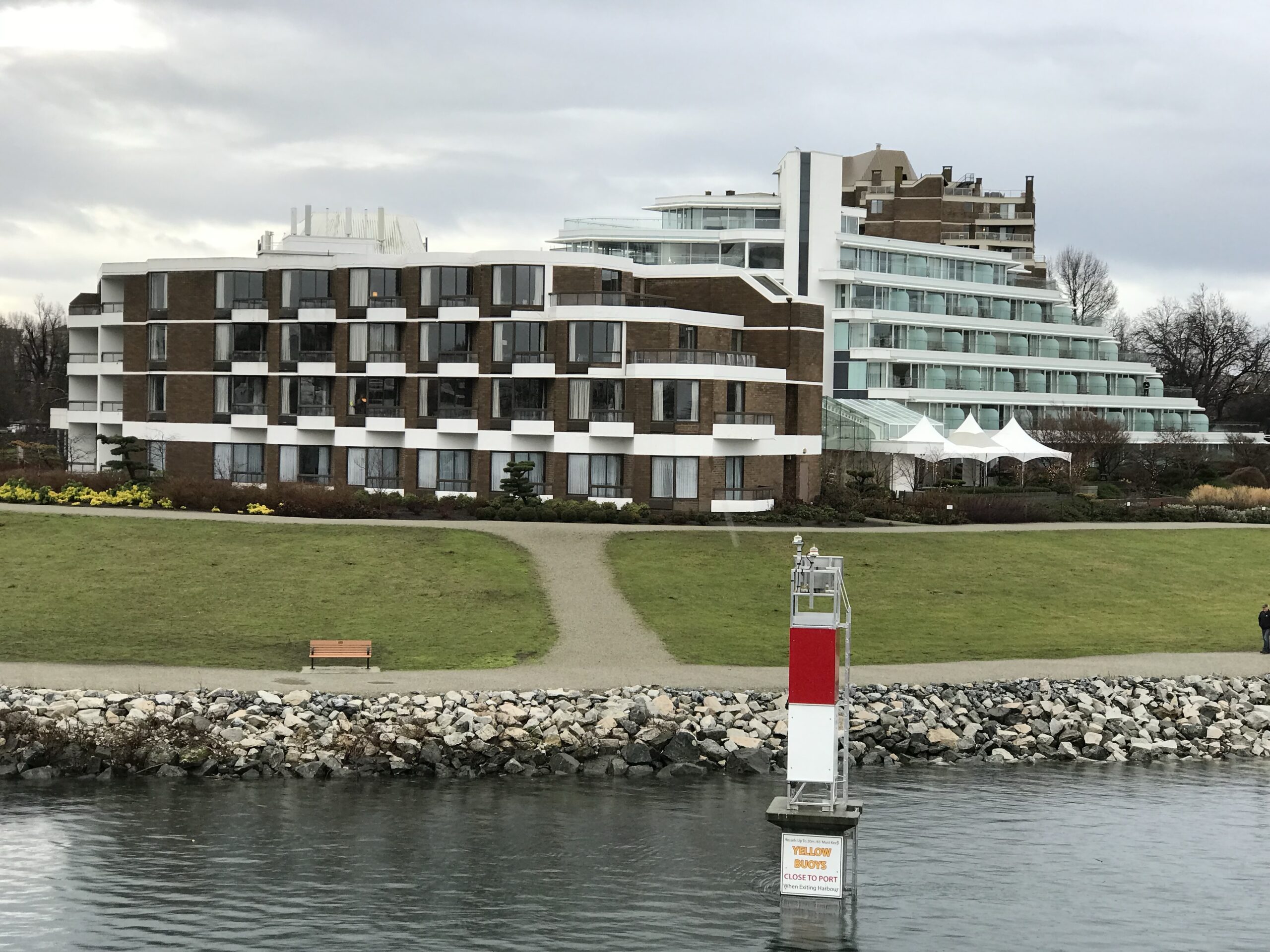
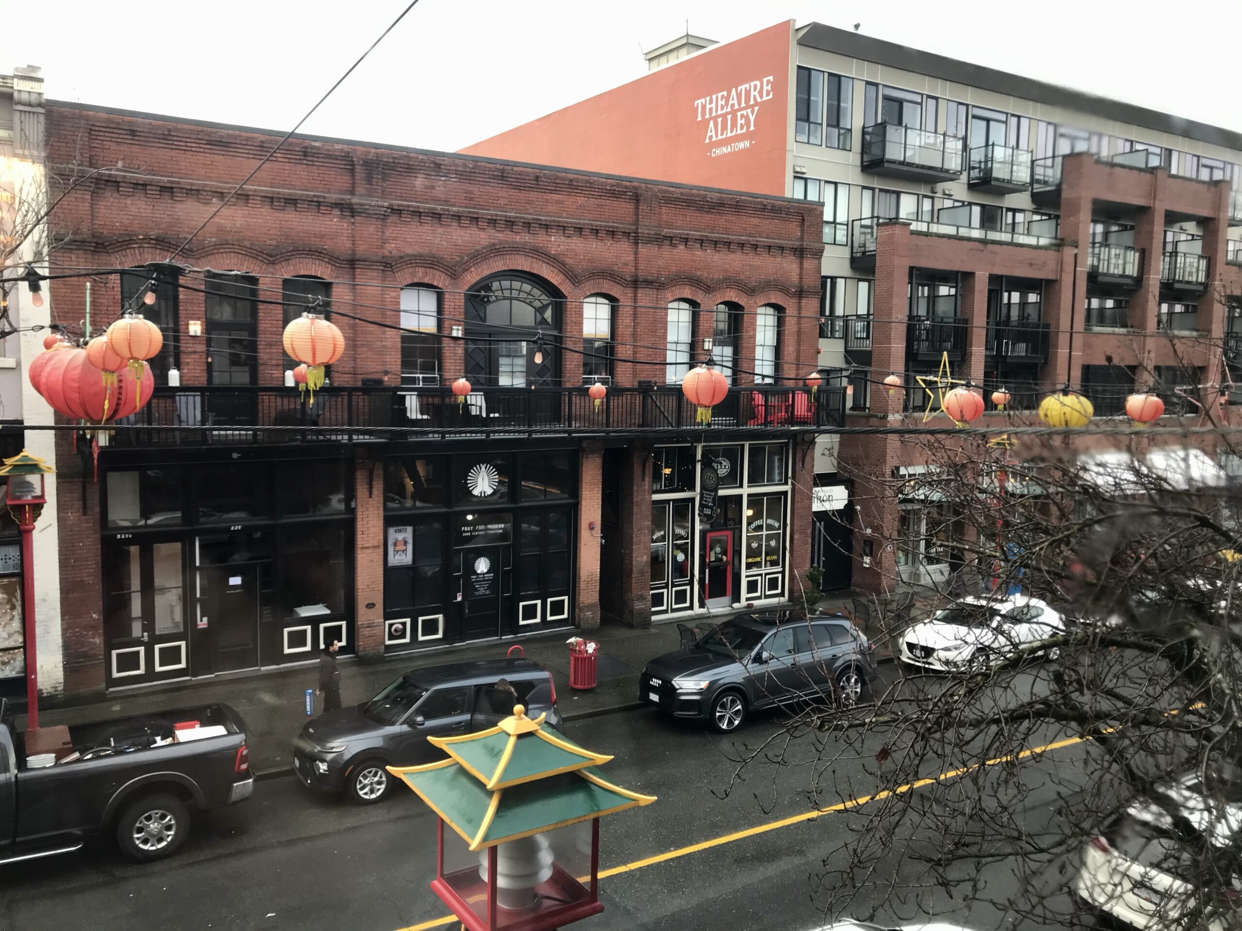
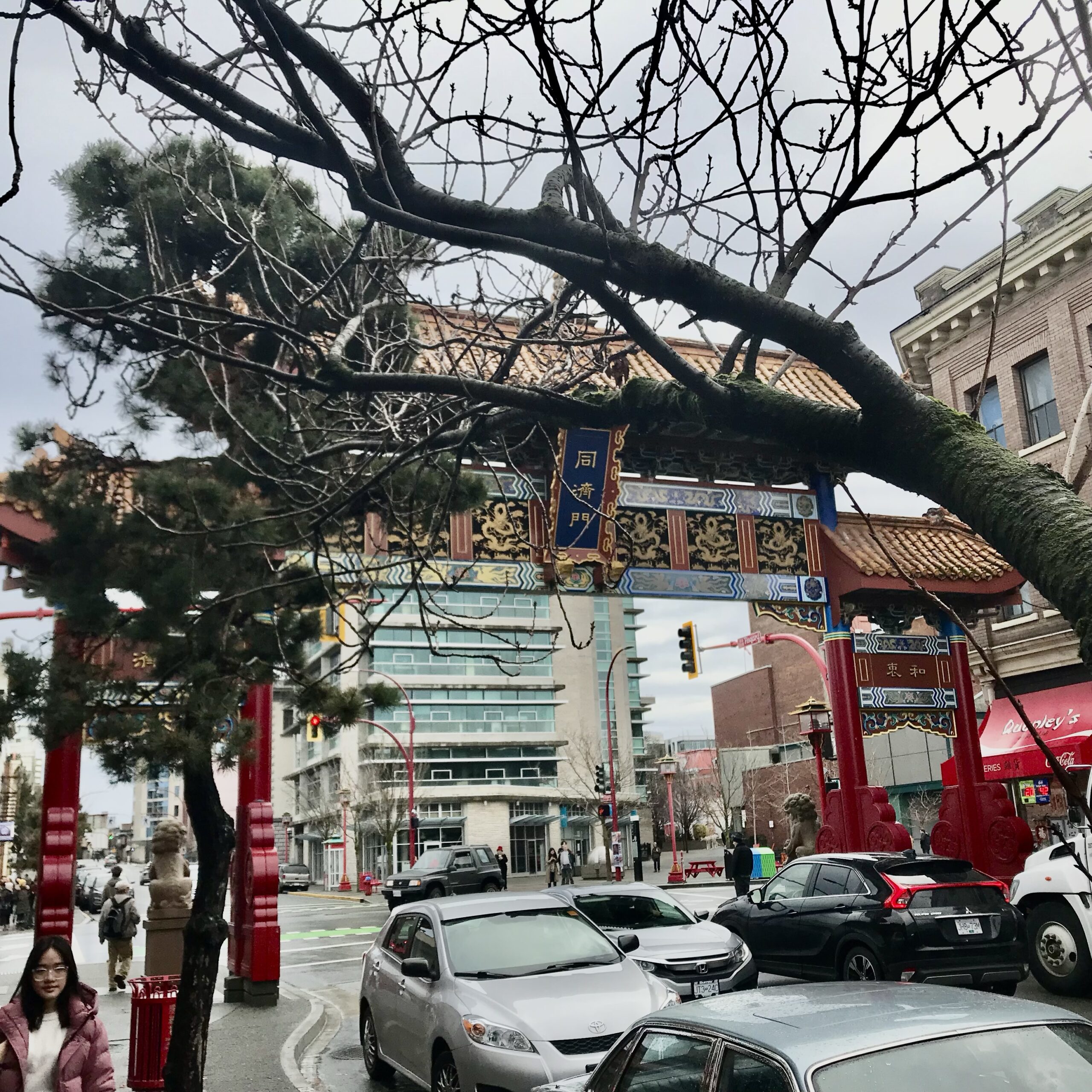
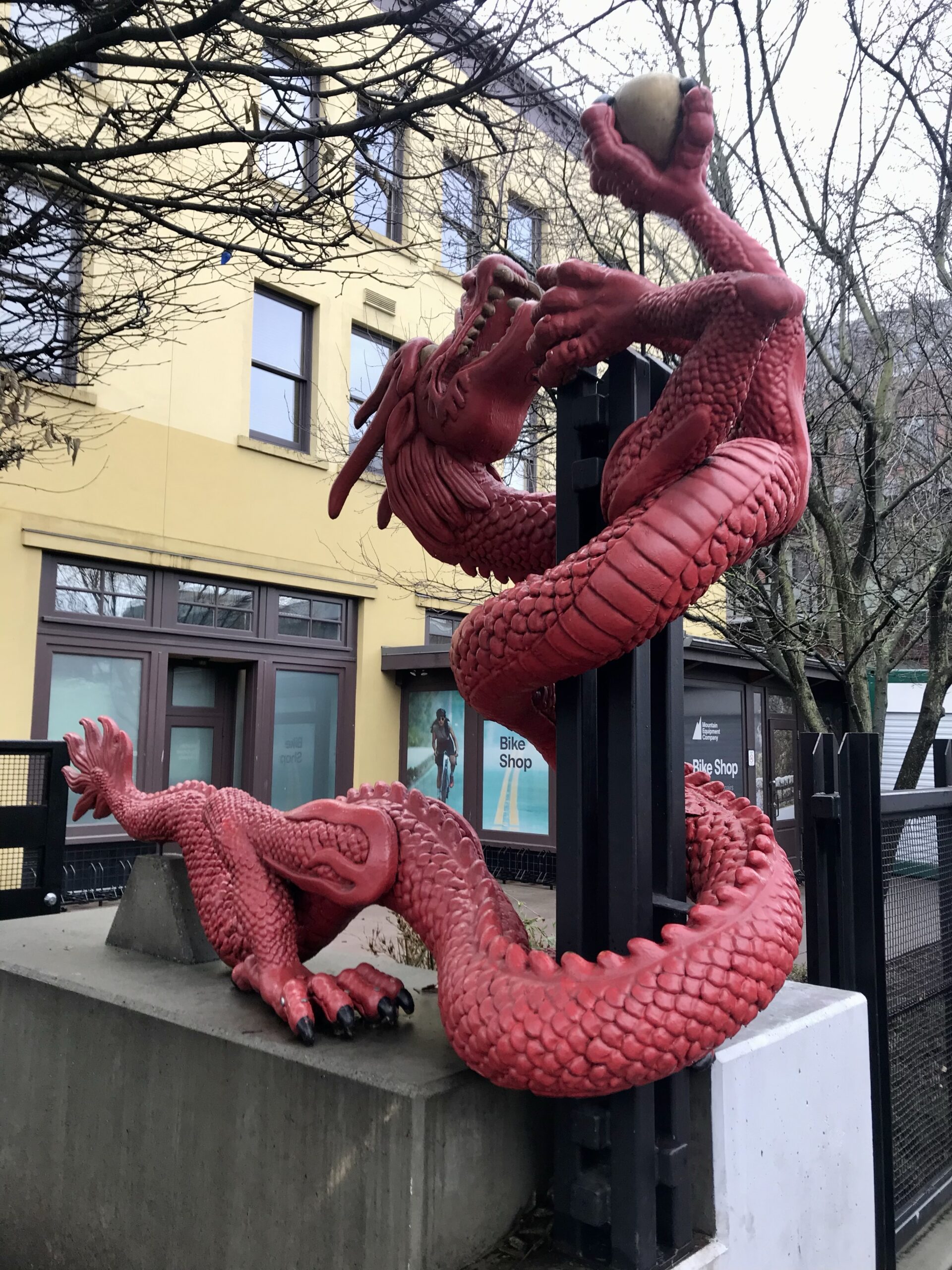
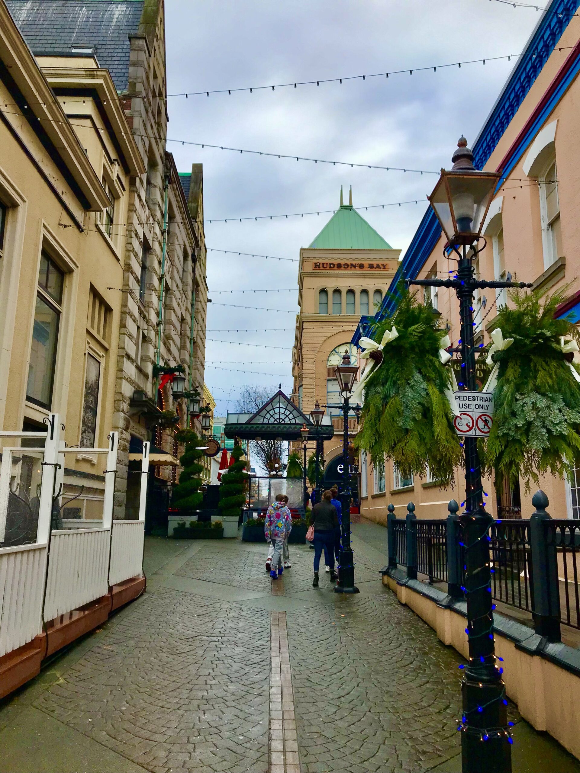
- Victoria: The capital city of British Columbia combines historical architecture with modern attractions, such as the Inner Harbour and Butchart Gardens1.


