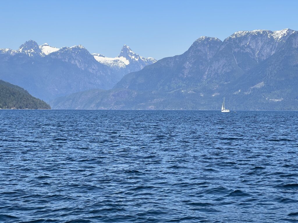
Desolation Sound is located in the Discovery Islands of British Columbia, Canada2. It is flanked by Cortes Island, East Redonda Island, and West Redonda Island, and adjacent waterways include Lewis Channel, Waddington Channel, Homfray Channel, Okeover Inlet, and the Strait of Georgia2.
The sound is home to several islands, including Kinghorn Island, Martin Islands, Mink Island, Protection Island, and Station Island2. Desolation Sound Marine Provincial Park, Malaspina Provincial Park, Okeover Arm Provincial Park, and Roscoe Bay Provincial Park are all located within the sound25.
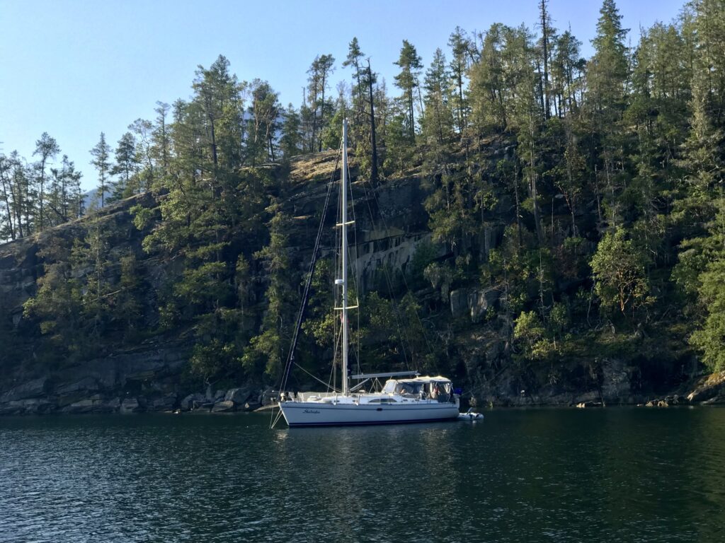
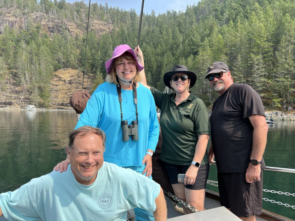
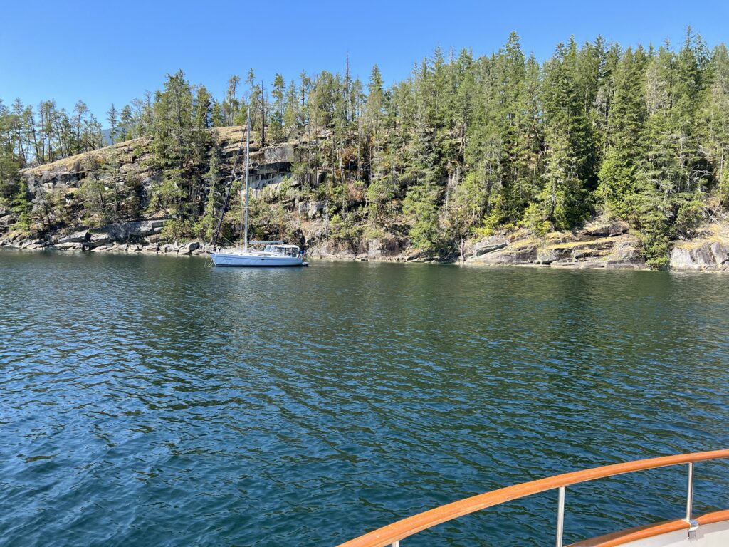
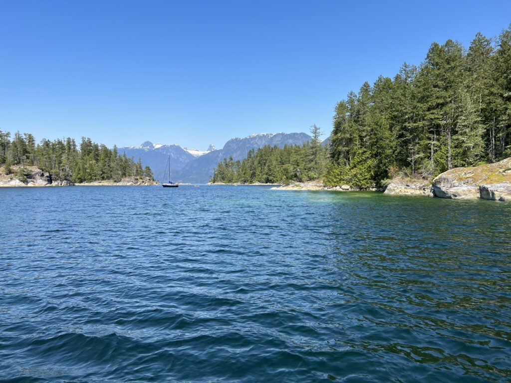
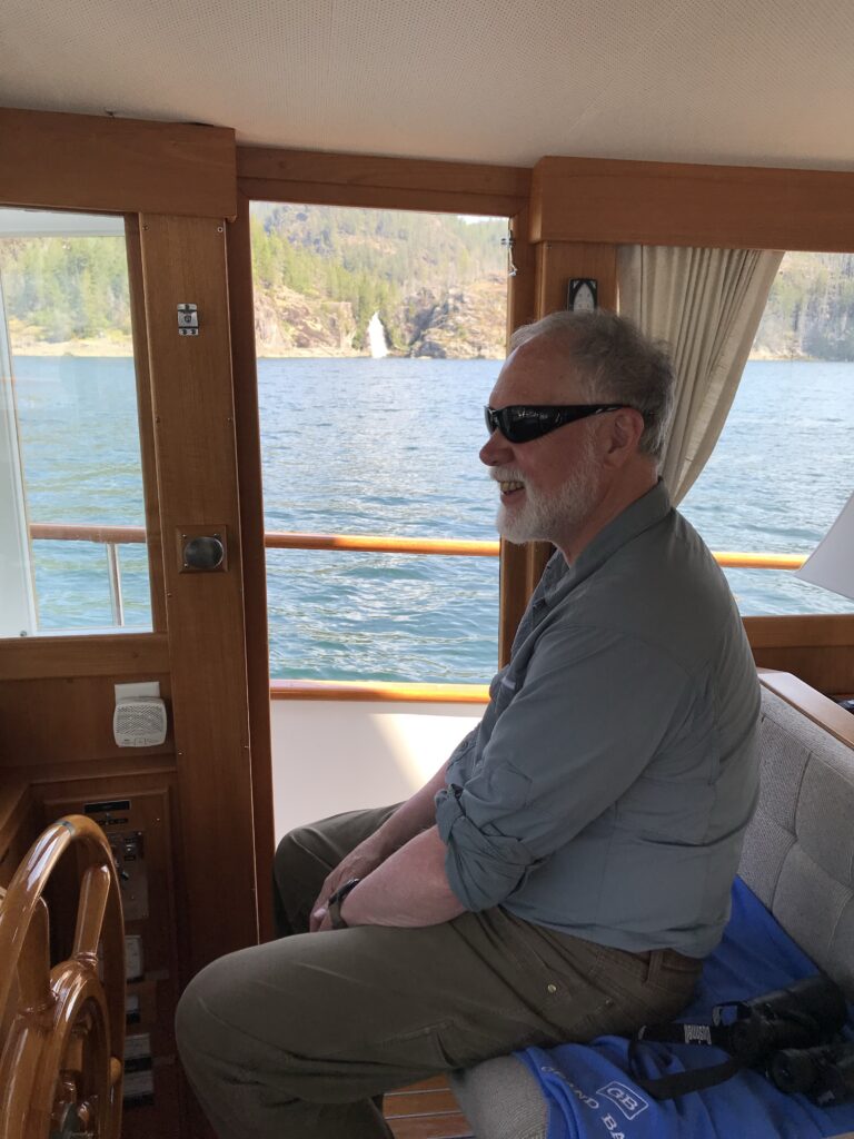
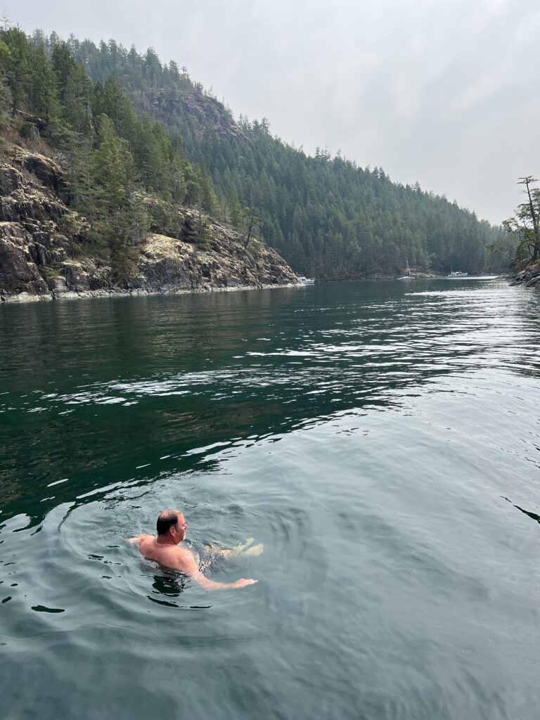
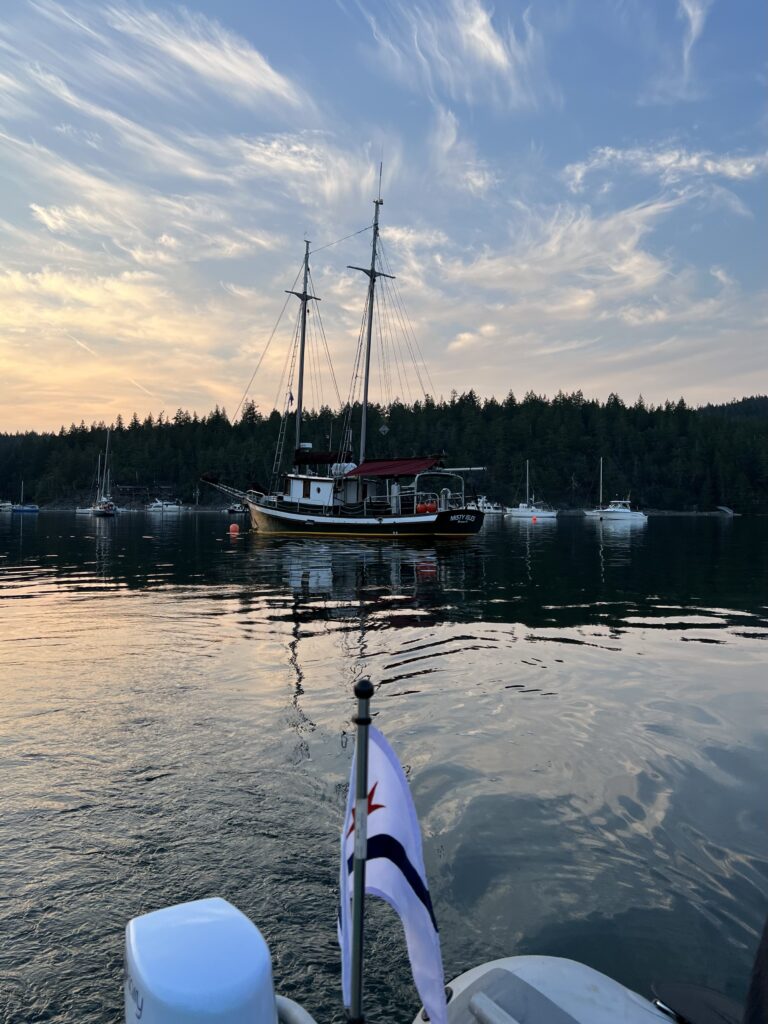
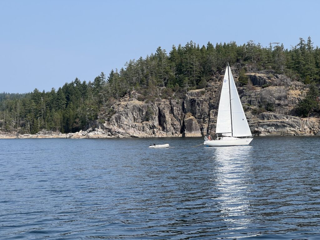
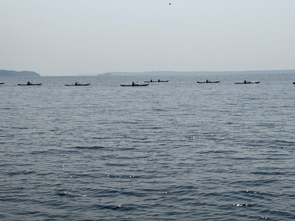
Desolation Sound is a popular destination for boating, with major anchorages including Gorge Harbour, Grace Harbour, Prideaux Haven, and Refuge Cove24. It is also a greatplace for kayaking, swimming, and scuba diving135.
The warm waters of the park are ideal for swimming, and there are interesting tidal pools and marshes to explore ashore16. Crabbing and clamming are also popular activities in the area6. A license or permit is not required to visit Desolation Sound6. Gas for an outboard can be obtained at several locations in the area4.
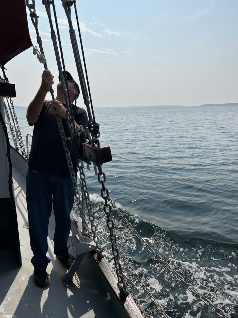
There are also tours available by sailboat that take visitors to Desolation Sound6.
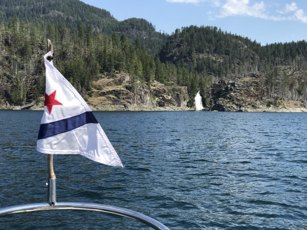
There are several boater rendezvous that happen in Desolation Sound Provincial Park, including the annual Desolation Sound Yacht Charters Rendezvous4. Waterfalls can be seen in several locations in Desolation Sound, including Tenedos Bay and Cassel Lake6. The best time ofyear to see waterfalls and avoid crowds from boater rendezvous is in the spring or fall6.
Where can you dock a boat at Desolation Sound Marine Provençal Park? Where can you get gas for an outboard? What waterfalls are viewable at Desolation Sound Marine Provincial Park?
Desolation Sound Marine Provincial Park has more than 60 km of shoreline, several islands, numerous small bays, and snug coves2. The park is only accessible by boat and is distinguished by its many picturesque sheltered coves and anchorages, and is frequented by yachts and pleasure craft4.
There are several places to dock a boat at Desolation Sound Marine Provincial Park, including Prideaux Haven, Tenedos Bay, and Grace Harbour12.

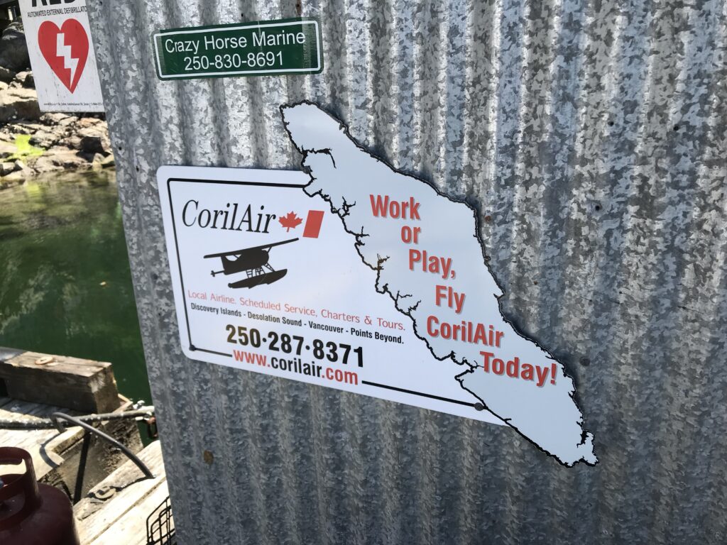
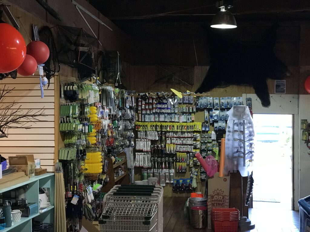
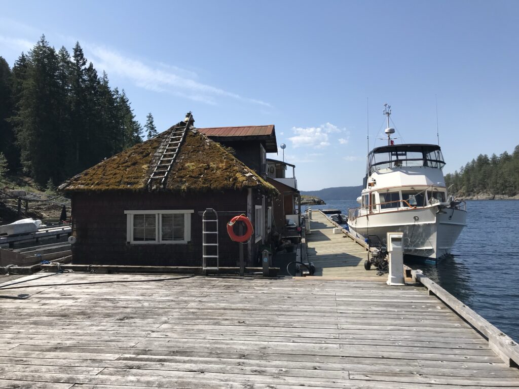
Gas for an outboard can be obtained at several locations in the area, including Lund, Powell River, and Refuge Cove1.
Waterfalls that are viewable at Desolation Sound Marine Provincial Park include Cassel Lake and Tenedos Bay6.
Where can you dock a boat at Malaspina Provincial Park? Where can you get gas for an outboard? What waterfalls are viewable at Malaspina Provincial Park?
Malaspina Provincial Park is a great place for a cruising sailor and has wonderful anchorages in Okeover Inlet2. The park is accessible by boat and is a popular destination for kayaking and boating3.
There are several places to dock a boat at Malaspina Provincial Park, including Lund12. Gas for an outboard can be obtained at several locations in the area, including Lund and Powell River1.The search results do not mention any waterfalls that are viewable at Malaspina Provincial Park.
Where can you dock a boat at Okeover Arm Provincial Park? Where can you get gas for an outboard? What waterfalls are viewable at Okeover Arm Provincial Park?
There is a government dock and boat launch at Okeover Arm harbour, with a $2 fee for kayakers ($4 return trip)1. A large (free) parking lot is located on the other side of the road1.Okeover Arm Provincial Park is located a very short walk away from the boat launch, and there are 14 first-come first-served vehicle accessible campsites available for $14/night16.
Gas for an outboard can be obtained at several locations in the area, including Lund, Powell River, and Refuge Cove1.The search results do not mention any waterfalls that are viewable at Okeover Arm Provincial Park.
Where can you dock a boat at Roscoe Bay Provincial Park? Where can you get gas for an outboard? What waterfalls are viewable at Roscoe Bay Provincial Park?
Roscoe Bay Provincial Park is known for its excellent opportunities for kayaking, canoeing, fishing, backcountry camping, and anchorage in Roscoe Bay1. The park offers a nearby freshwater lake for swimming and kayaking, as well as hiking trails2.
The bay is divided into an inner cove and an outer cove, with a drying shoal that can be crossed by shallow draft boats at half tide4. There is no specific information about docking a boat at Roscoe Bay Provincial Park in the search results. Gas for an outboard can be obtained at several locations in the area, including Lund, Powell River, and Refuge Cove1. The search results do not mention any waterfalls that are viewable at Roscoe Bay Provincial Park.
Describe what is noteworthy about Lund, Powell River, and Refuge Cove? Can boats be serviced at any of the locations?
Lund, Powell River, and Refuge Cove are all noteworthy locations in British Columbia, Canada. Here is some information about each of these places:
Lund:
- Lund is a small coastal village located at the northern end of the Sunshine Coast in British Columbia.
- It is known as the “Gateway to Desolation Sound” and is a popular starting point for kayaking and boating adventures in the area1.
- Lund offers amenities such as parking, accommodations like bed and breakfasts and hotels, and access to nearby islands and waterways4.
- Boats can be serviced in Lund, including refueling and provisioning for supplies4.
Powell River:
- Powell River is a city located on the northern Sunshine Coast of British Columbia.
- It is known for its natural beauty, outdoor recreational opportunities, and access to the surrounding waterways and islands2.
- Powell River is the last major refueling place for groceries and other supplies before entering Desolation Sound4.
- Boats can be serviced in Powell River, including refueling and provisioning for supplies4.
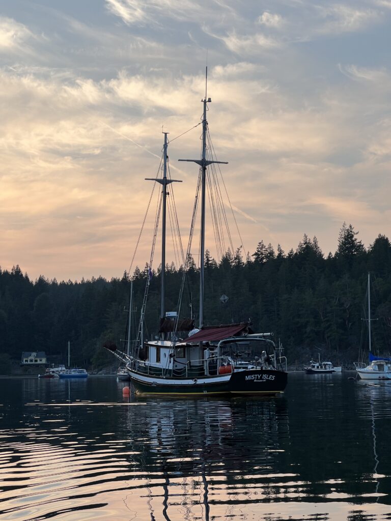
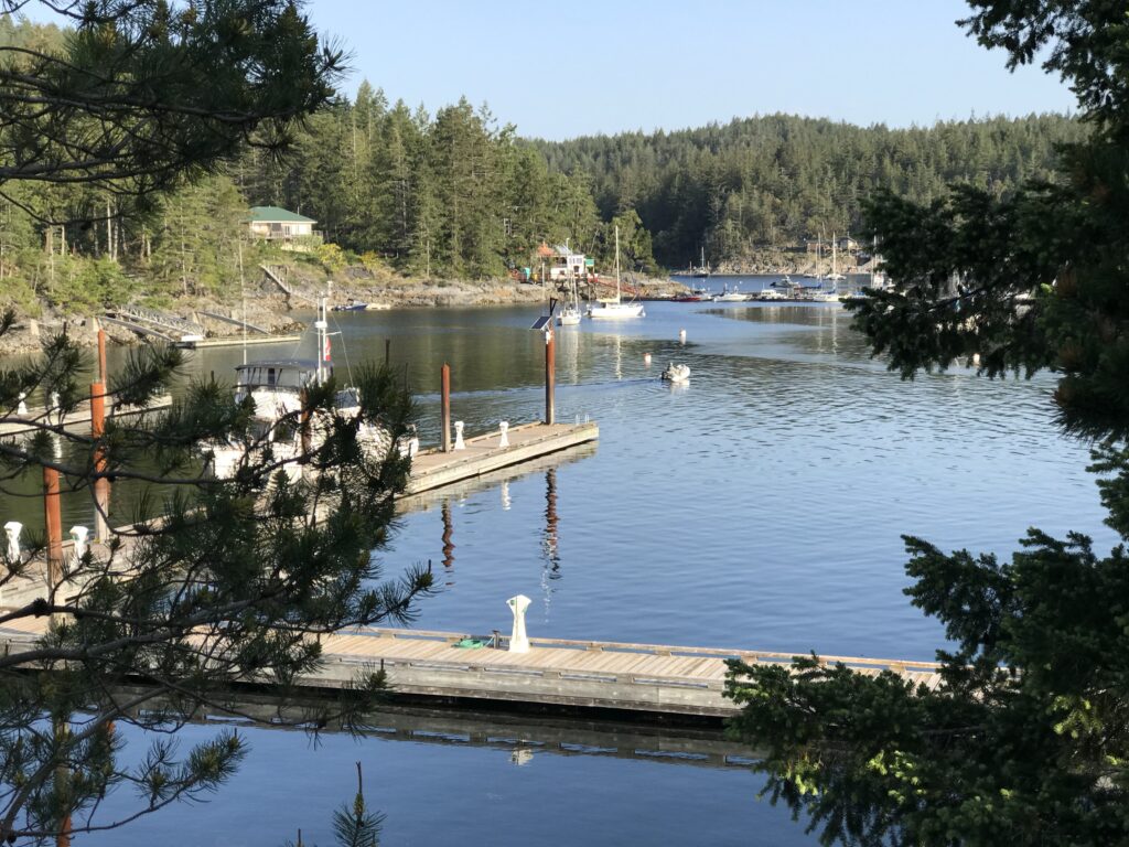
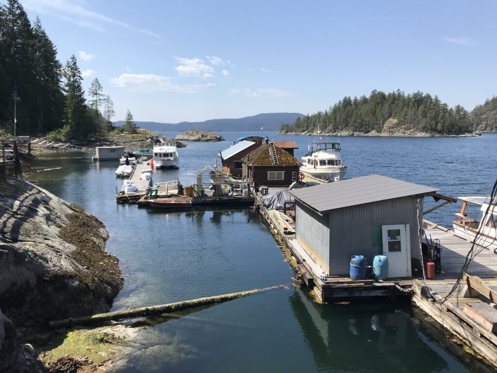
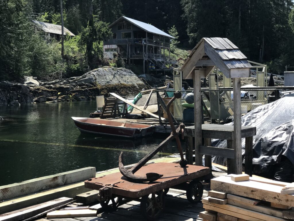
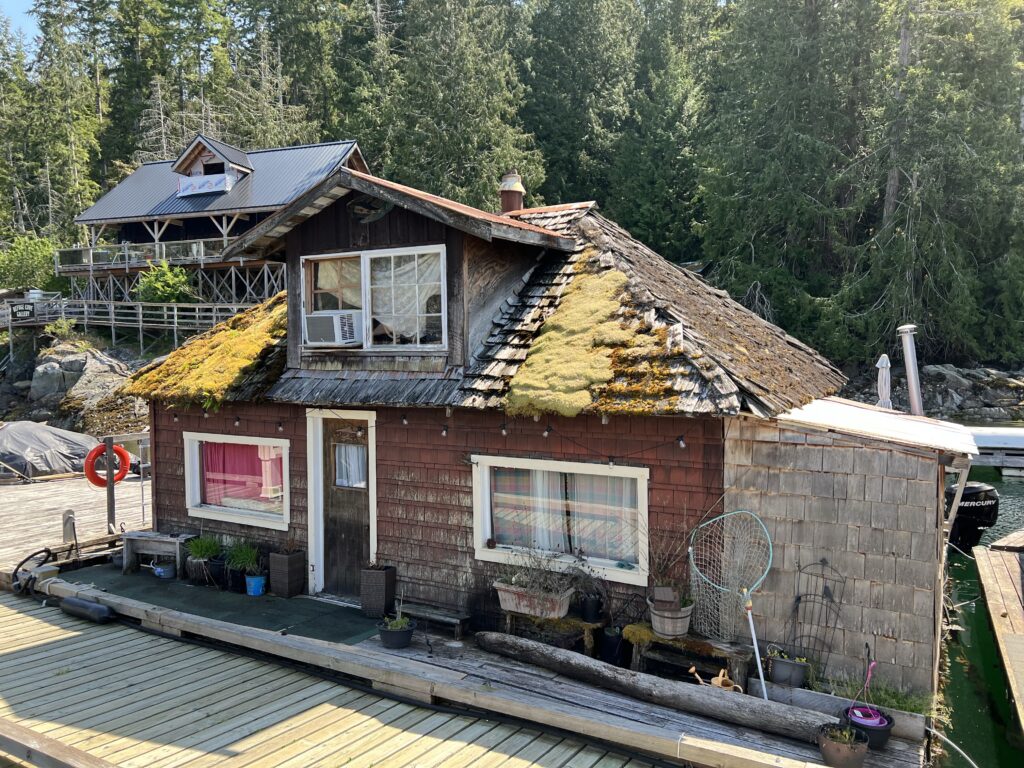
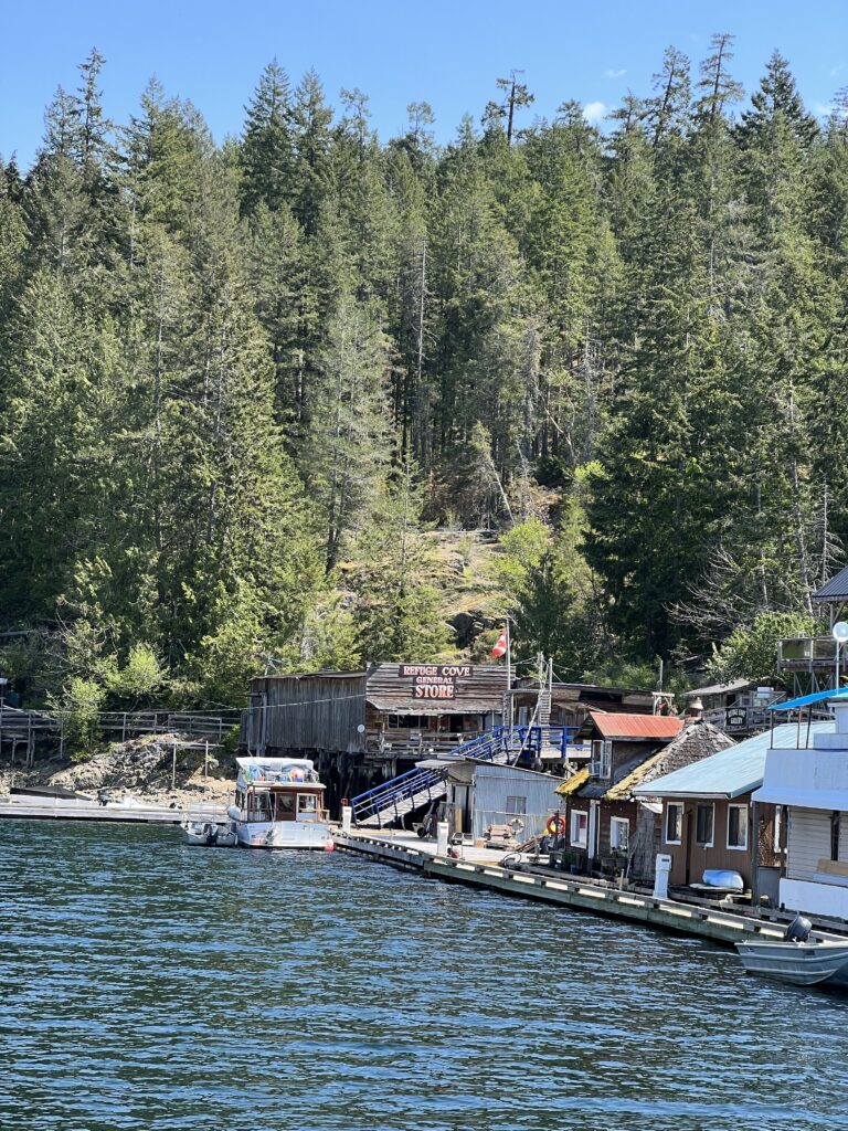
Refuge Cove:
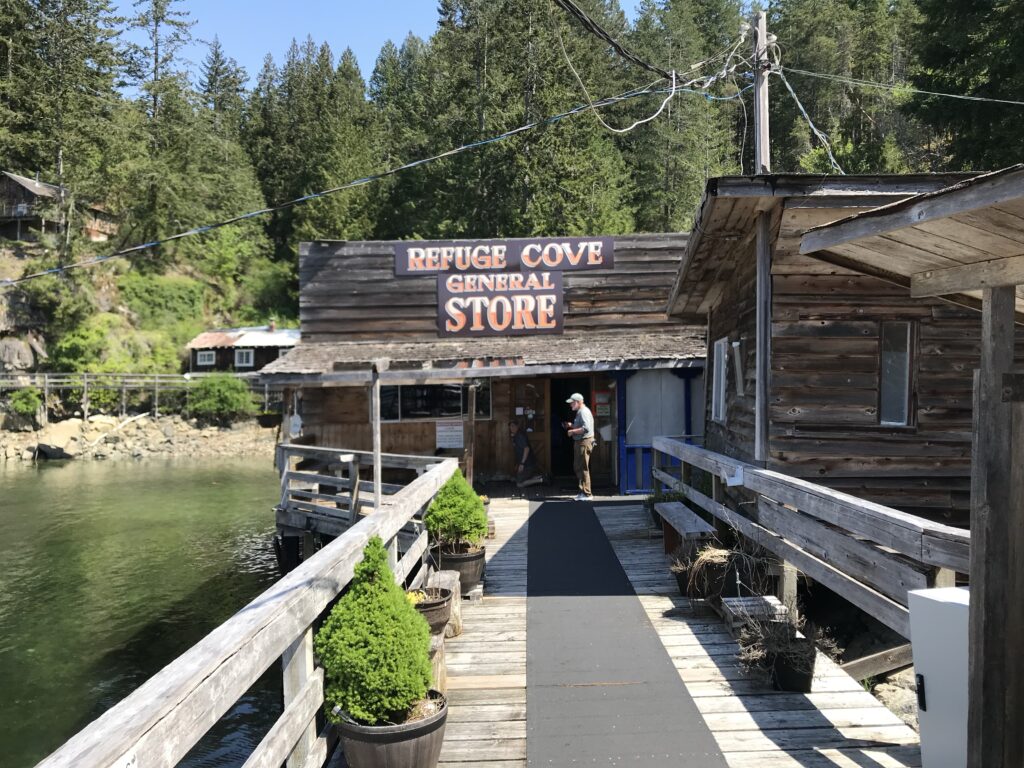
Long before the yachts, sailboats and kayaking tourists, Refuge Cove had a fascinating history as the social hub of life in Desolation Sound. First settled in 1913, the cove quickly became a popular settlement and a school opened a year later, followed by the first incarnation of the current store and post office in five years later.
Settlers would sell their excess fruits and vegetables through the store, and on Saturday nights people from miles around would converge on the dance hall through the 1920s and 1930s to dance and socialize. In the 1950s, the Cove had a population of 40 to 50 people living on boats, floathouses and cottages on the shore. Lewis Channel was the safest passage for most marine traffic north and south, and the Refuge Cove store was an important stop-over on this route. However, with the dynamiting of ‘Ripple Rock’ outside Campbell River in the largest man-made non-nuclear explosion in history in 1958, vessels preferred the route closer to Vancouver Island and most of the traffic ceased.
By 1971, the year-round population of Refuge Cove had slumped to just six.
REFUGE COVE
West Redonda Island, Desolation Sound, British Columbia
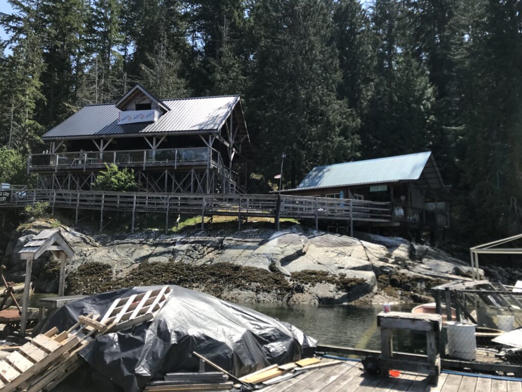
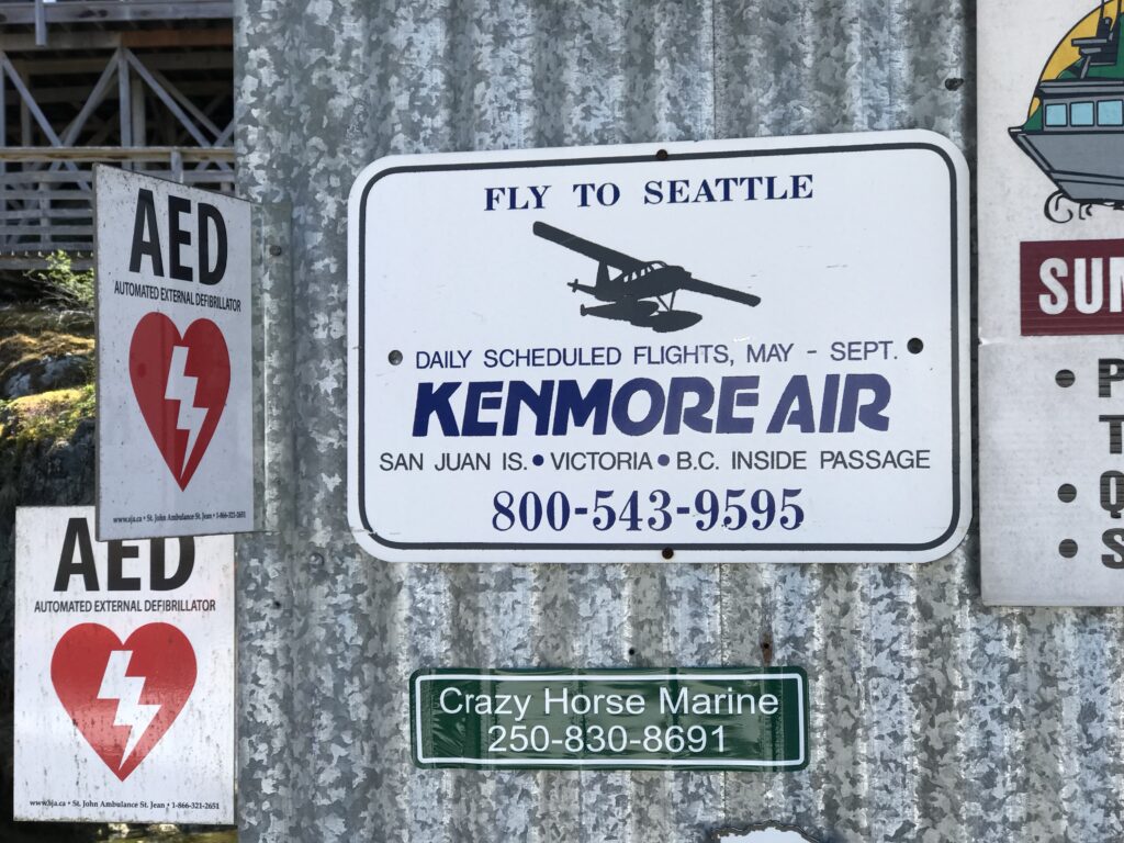
- Refuge Cove is a small community located on West Redonda Island in British Columbia.
- It is a popular destination for boaters and offers a government dock and seaplane base3.
- Refuge Cove is known for its scenic beauty and as a starting point for exploring Desolation Sound4.
- Boats can be serviced in Refuge Cove, including refueling and provisioning for supplies4.
Please note regarding services such as refueling and provisioning, it is always a good idea to check with local marinas or service providers for the most up-to-date information on boat services in these locations because they change with the seasons.
What is the history of Desolation Sound? Why is it called Desolation Sound? Is it desolate for marine life in Desolation Sound?
Desolation Sound has a rich history and intriguing name. Here is some information about the history and naming of Desolation Sound, as well as its marine life:
History of Desolation Sound:
- Desolation Sound is part of the traditional territories of three distinct Coast Salish groups: the Tla’amin, Klahoose, and Homalco1.
- These waters have been fished and inhabited by these Indigenous groups for generations1.
- In the summer of 1792, two expeditions led by Captains George Vancouver, Dionisio Alcalá Galiano, and Cayetano Valdés y Flores arrived and cooperated in mapping the sound2.
- Vancouver named it Desolation Sound, cryptically claiming that “there was not a single prospect” in the area2.
Why is it called Desolation Sound?
- The name Desolation Sound was given by Captain George Vancouver during his exploration of the area in 17922.
- The name is somewhat cryptic and does not accurately reflect the beauty and abundance of the area4.
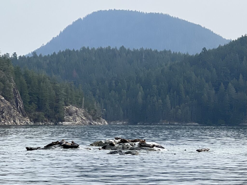
Marine life in Desolation Sound:

- Despite its name, Desolation Sound is far from desolate when it comes to marine life4.
- It is one of the largest marine parks in British Columbia, providing protection for a diverse range of marine species4.
- The warm waters of the park are ideal for swimming and scuba diving, and there are numerous snug coves and islands to explore56.
Desolation Sound offers a fascinating history, an intriguing name, and a thriving marine ecosystem, making it a captivating destination for exploration and outdoor activities.
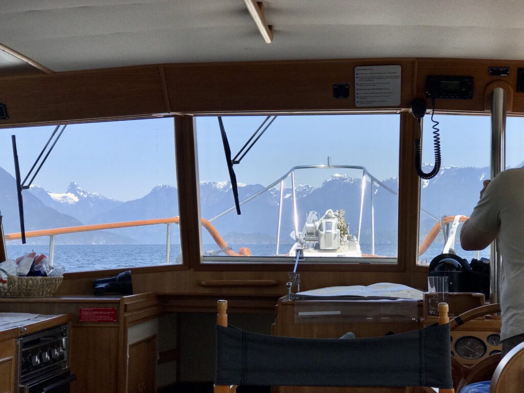
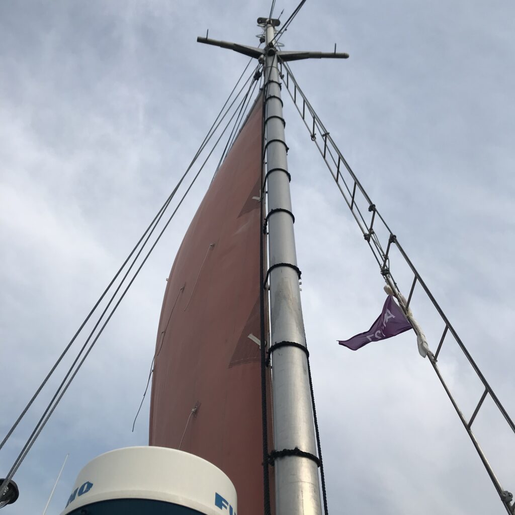
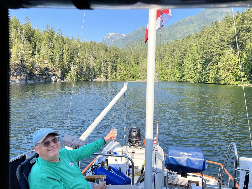
Misty Isles, a boat sets sail, With billowing sails, it charts its trail.
Misty Isles, its name so grand,
Embarking on an expedition, a journey so planned.
The Calypso and Murrelet crews on board, Adventurers seeking treasures untold.
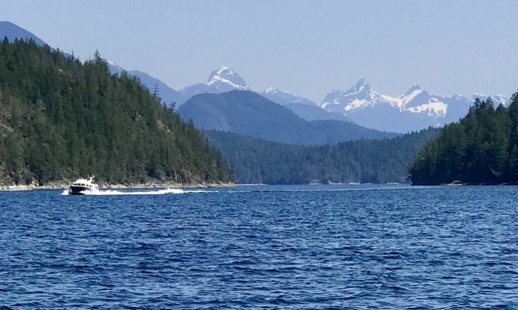
From Cortez Bay, they begin their quest, To Desolation Sound, where nature’s best.
The boat glides through the azure sea, As the wind whispers a melodic plea.
Passing by Torrin, a charming place, Amy’s Cookies, a sweet embrace.
The Misty Isles returns, from journey’s end, With memories cherished, forever to mend.
A tale of adventure, of nature’s grace, A boat with sails, leaving a lasting trace.
So raise your glasses, to Misty Isles so true, A vessel that takes us on journeys anew.
To Desolation Sound and back it goes, A boat with sails, where adventure flows.