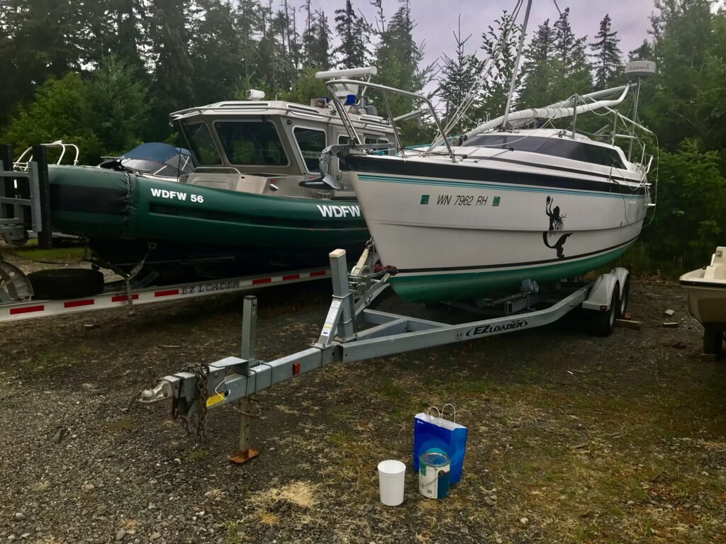
A handful of places in Desolation Sound, Cortes Island, and Quadra Island are effectively RIB‑only — not because a MacGregor 26X can’t physically enter them, but because the combination of draft, maneuverability, tide timing, turning radius, and abort‑window safety makes them realistically accessible only to a shallow, nimble, outboard‑powered RIB.
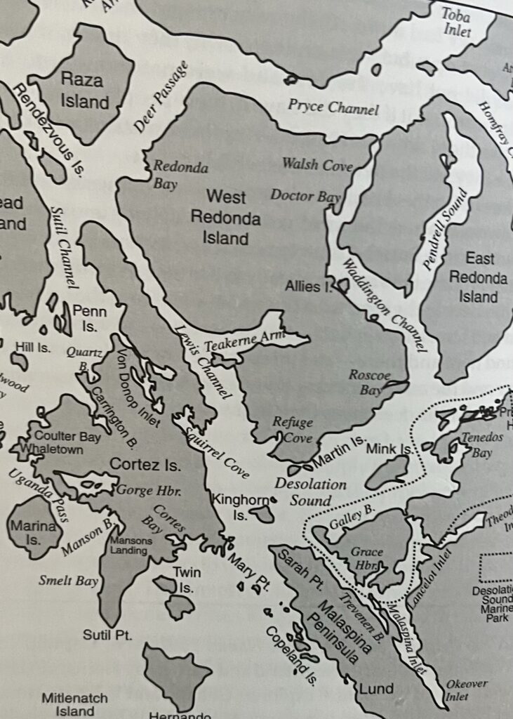
Carrington Lagoon – Inner Lagoon, discussed below, is one such place. The exploration style is fundamentally different. RIBs in Desolation Sound typically cruise at twice the speed of a Macgregor 26X (22–30 knots (comfortable) vs 7-18 knots on a 26x).
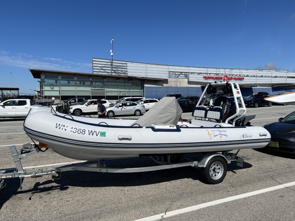
Every RIB expedition becomes a collection of small truths — patterns in the light, rhythms in the tide, and quiet moments that stay with you long after the hull is back on the trailer. These notes come from weeks spent running Cortes Bay, Von Donop, Pendrell Sound, and the lagoons and coves that tie the archipelago together.
September 1 – 5, 2026 | 10 mph Cruise Speed | Dog-Friendly Shore Explorations from Cortes Bay
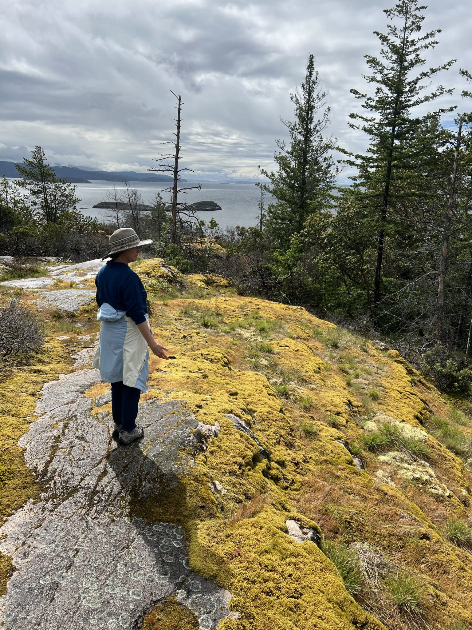
Sunset Window: Sunset on Cortes Island drops from ~8:05 PM on Sept 1 to ~7:55 PM on Sept 5. All itineraries target a return to Cortes Bay by 7:30 PM for a safe margin before dark.
Cortes Bay gives you the cleanest access to Desolation Sound, Von Donop Inlet, and Carrington Bay, with Squirrel Cove serving as a fuel, snack, and dog‑stretch waypoint
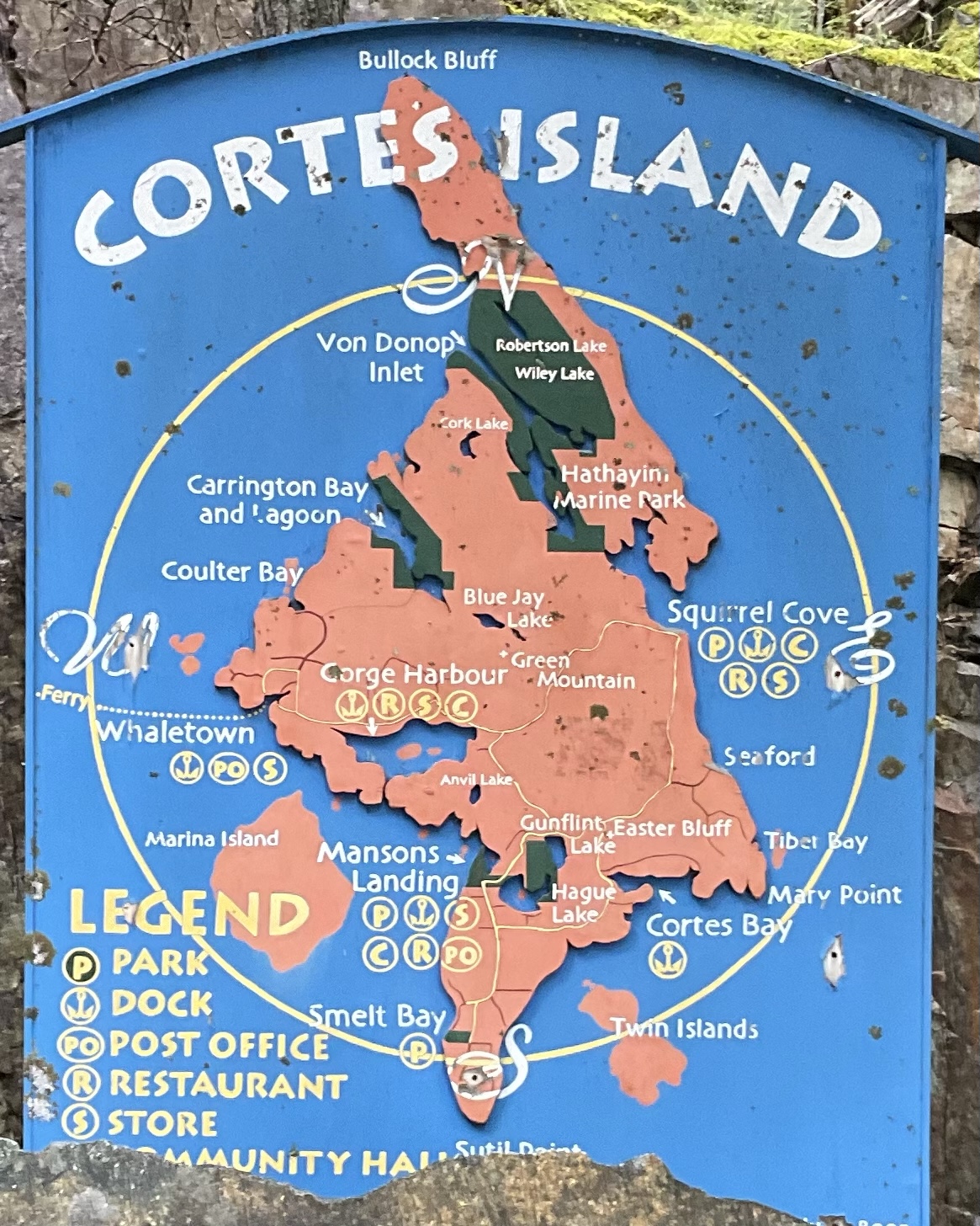
A RIB can explore 100%, including the tiny granite pockets, tidal lagoons, and micro‑coves that define the region’s magic.
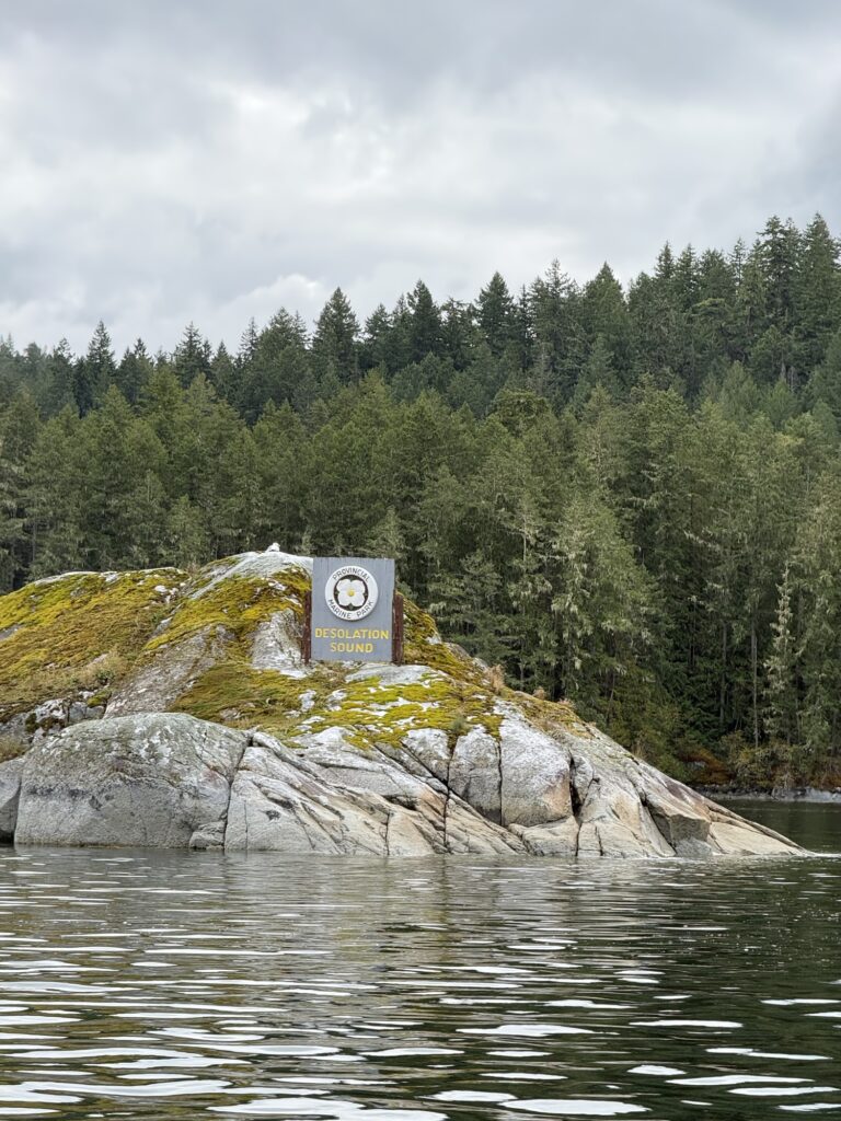
Trip 1 Desolation Sound — Prideaux Haven
Prideaux Haven: Located on the British Columbia mainland coast north of Powell River, known as one of the world’s most spectacular marine anchorages.
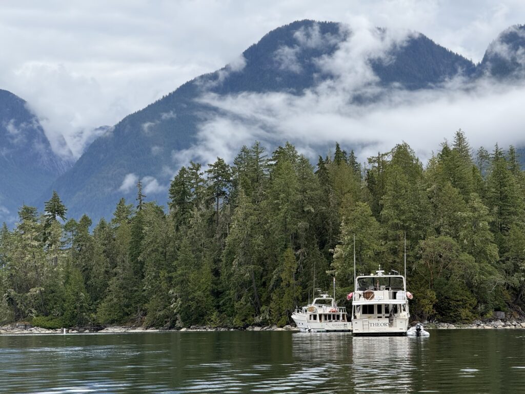
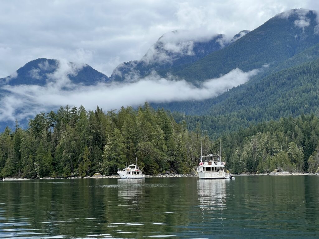
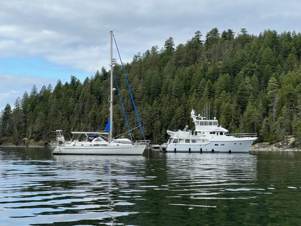
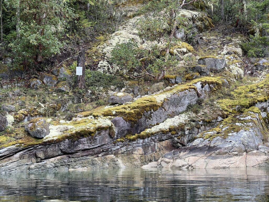
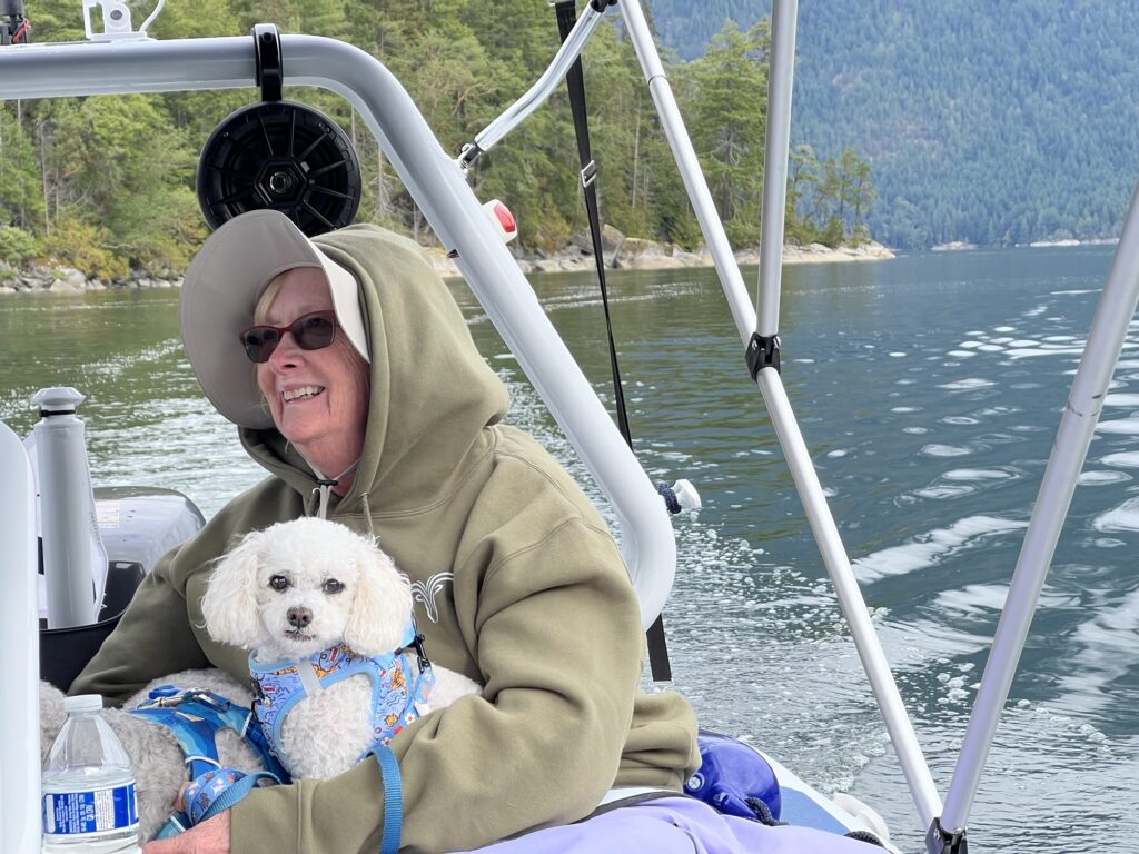
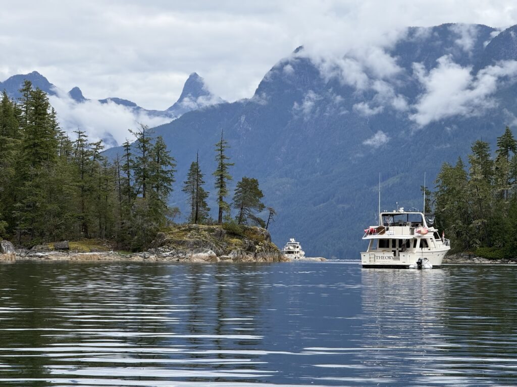
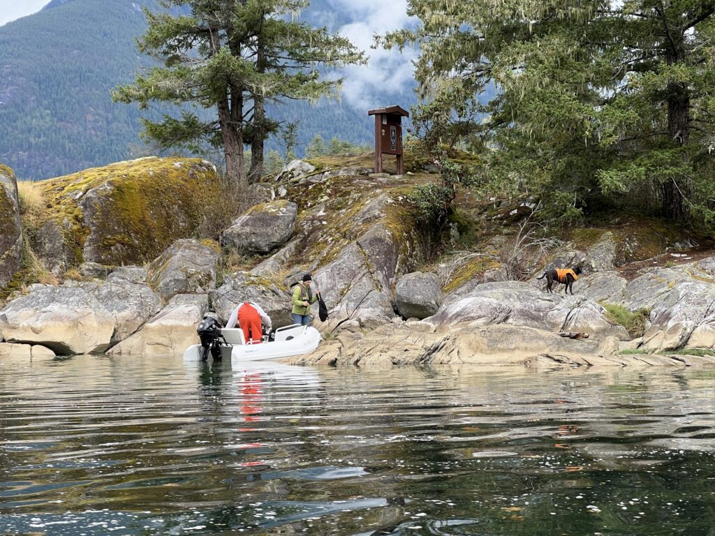
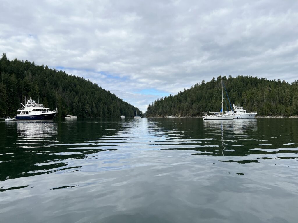
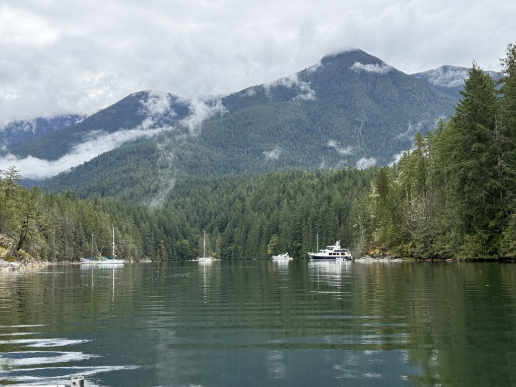
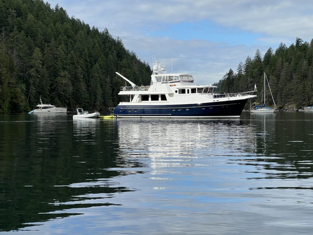
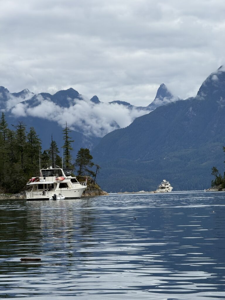
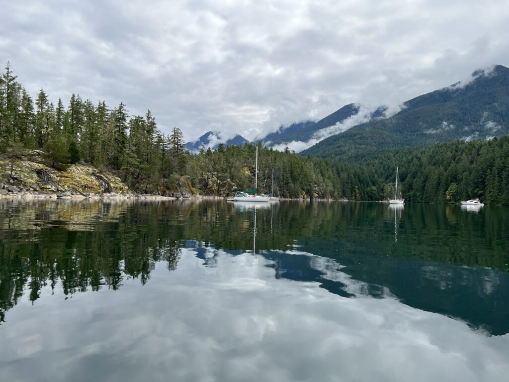
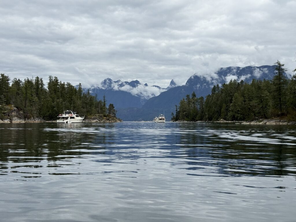
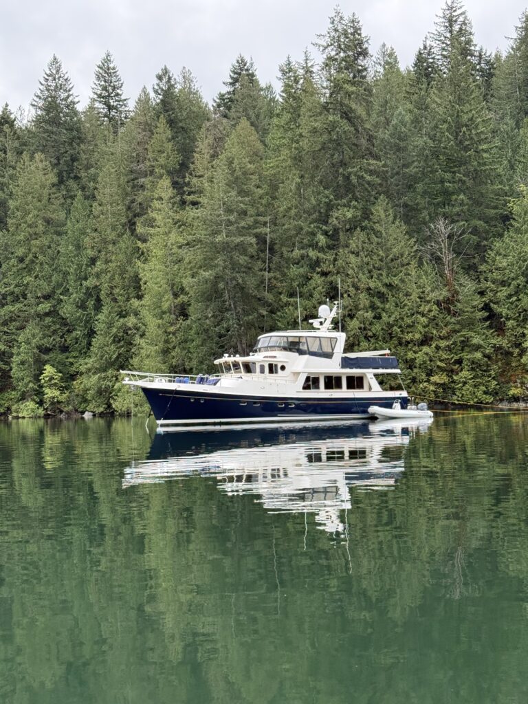
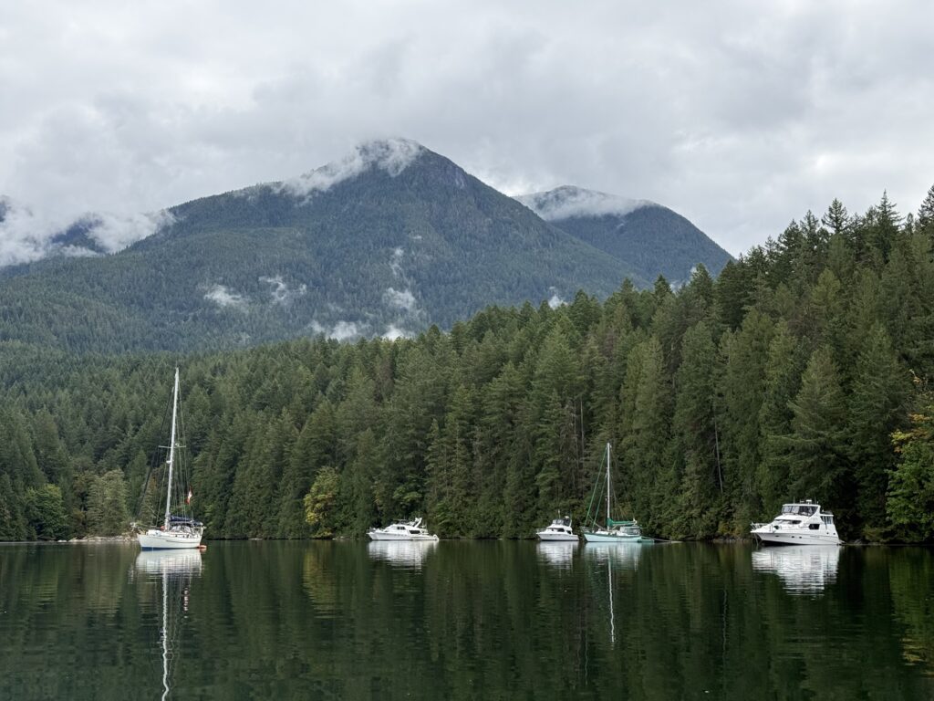
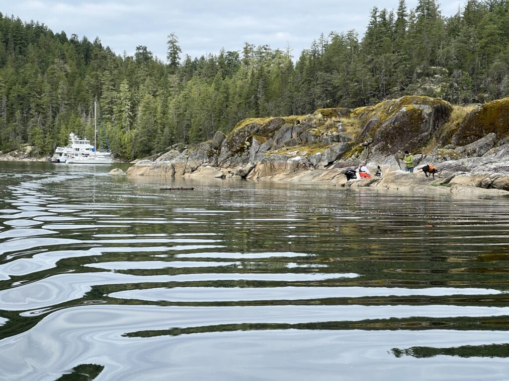
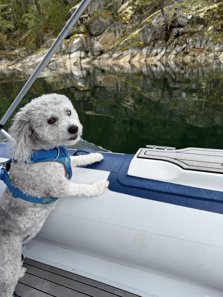
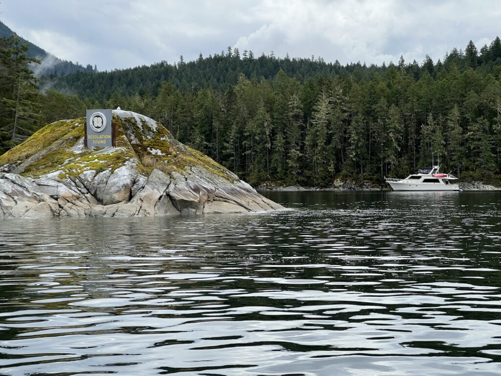
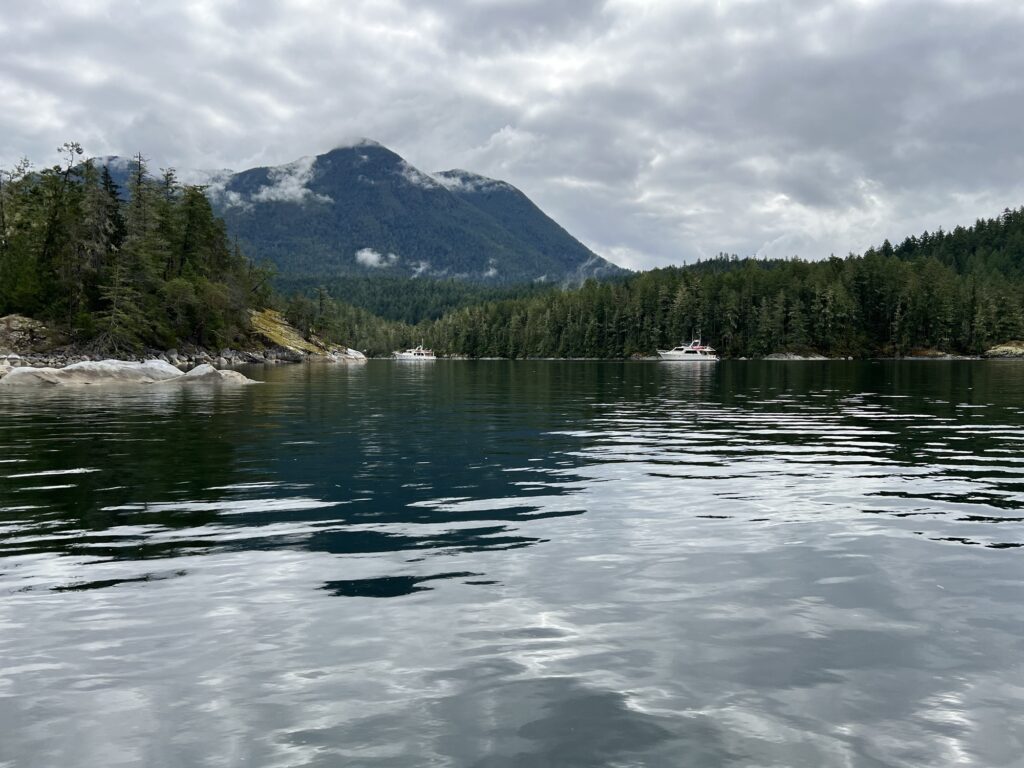
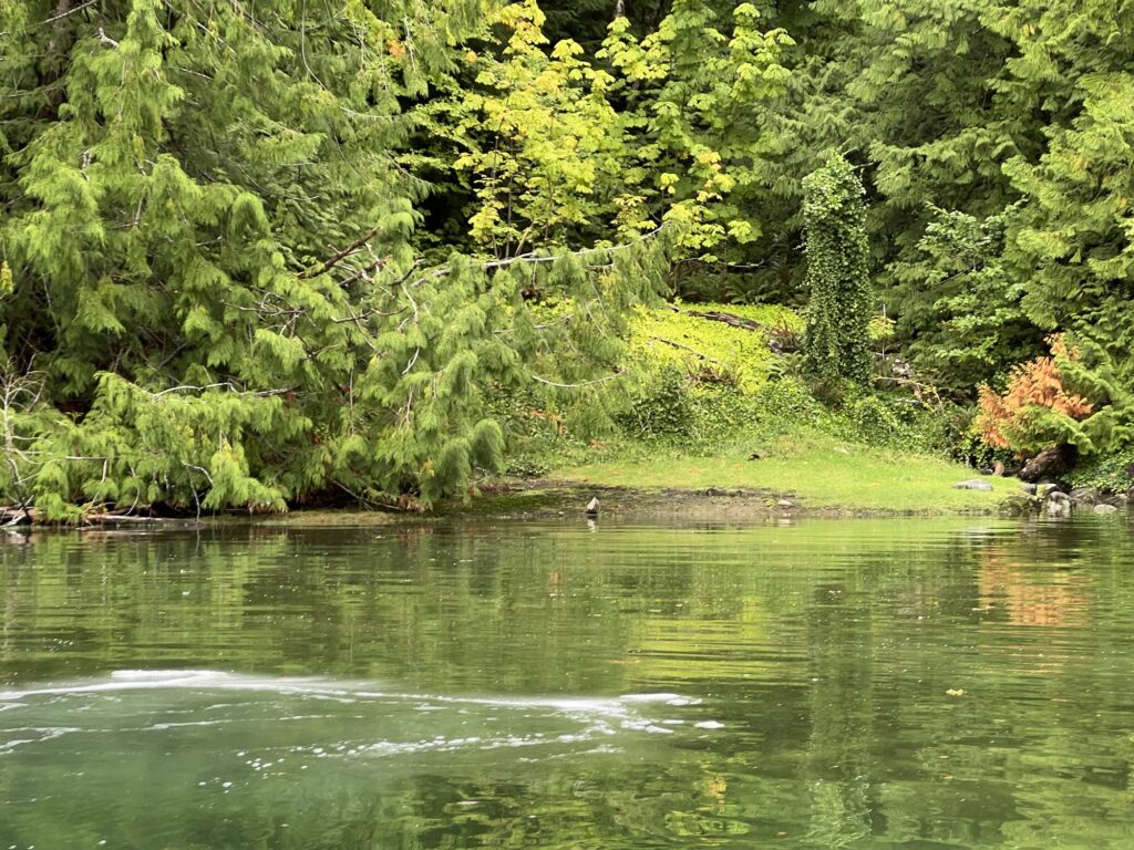
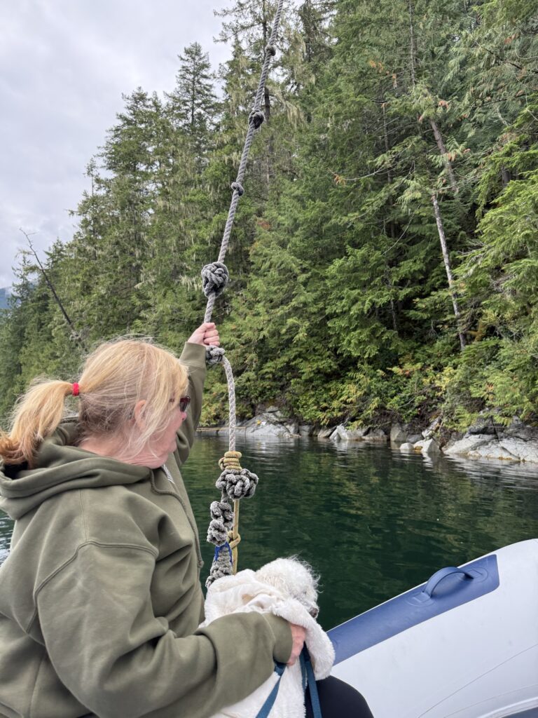
Inner Coves: Includes sheltered spots like Melanie Cove and Laura Cove, famous for warm swimming waters and tight stern-tie anchorages.
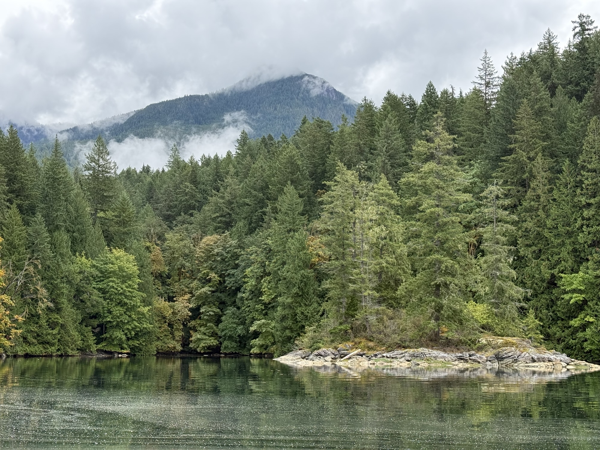
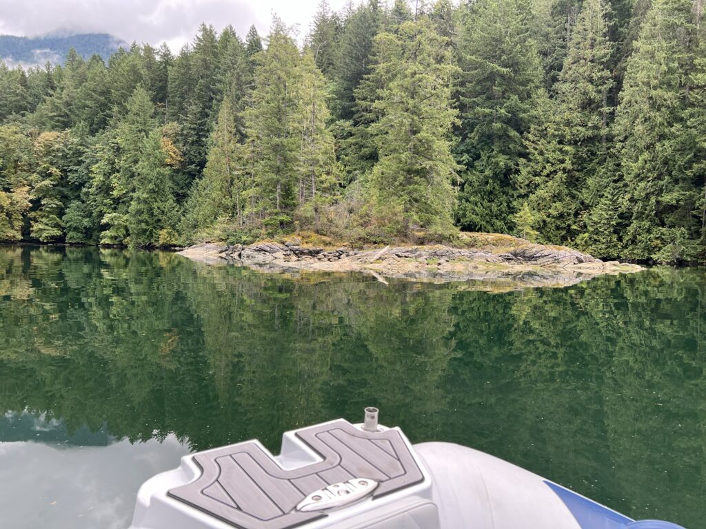
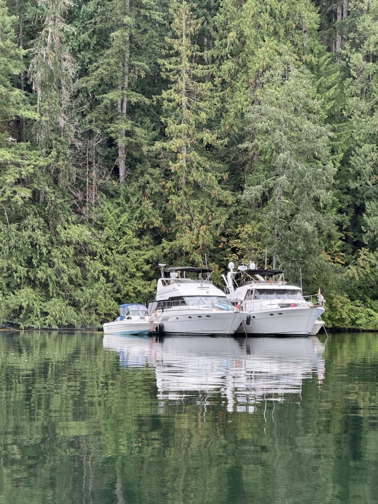
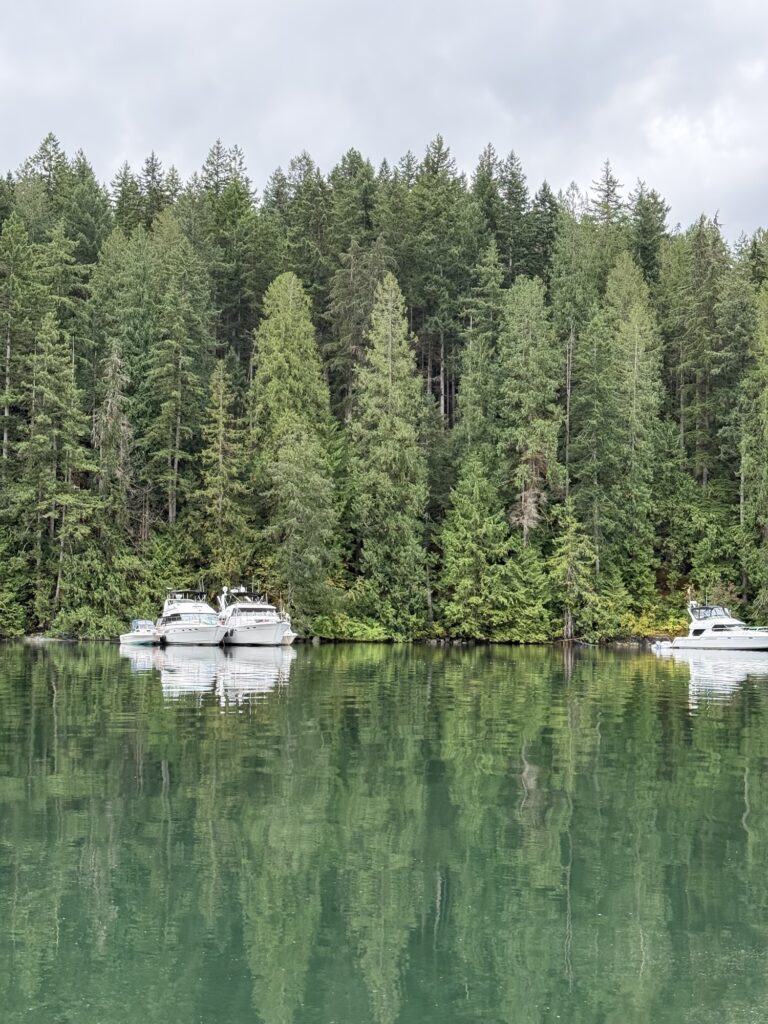

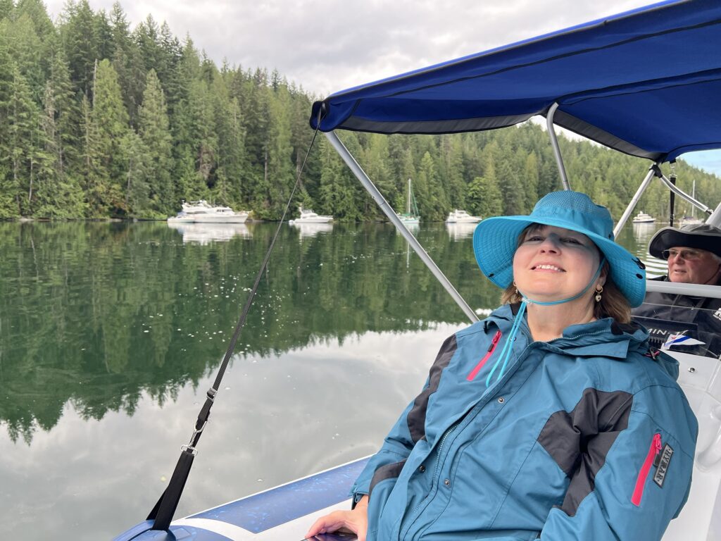


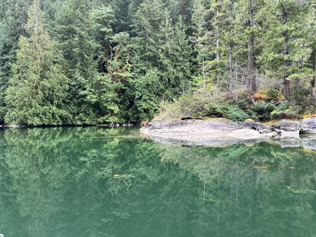
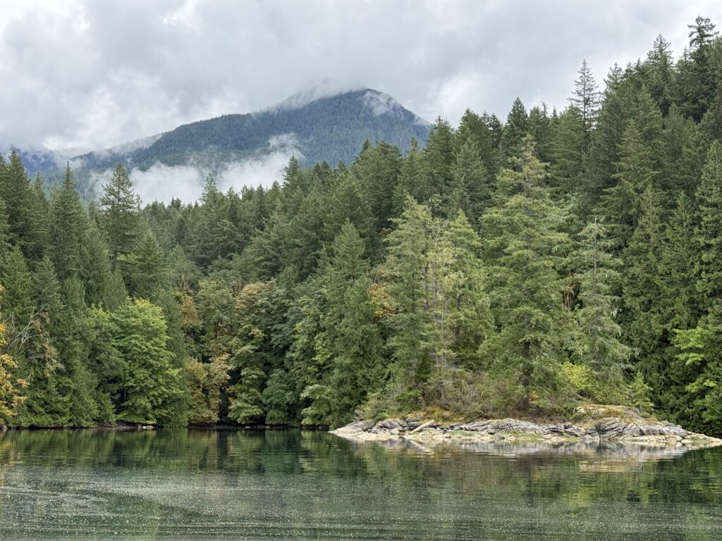
Mount Denman: A steep, prominent horn-like coastal peak rising sharply just miles back from the saltwater shore. [1, 2, 3, 4, 5, 6]
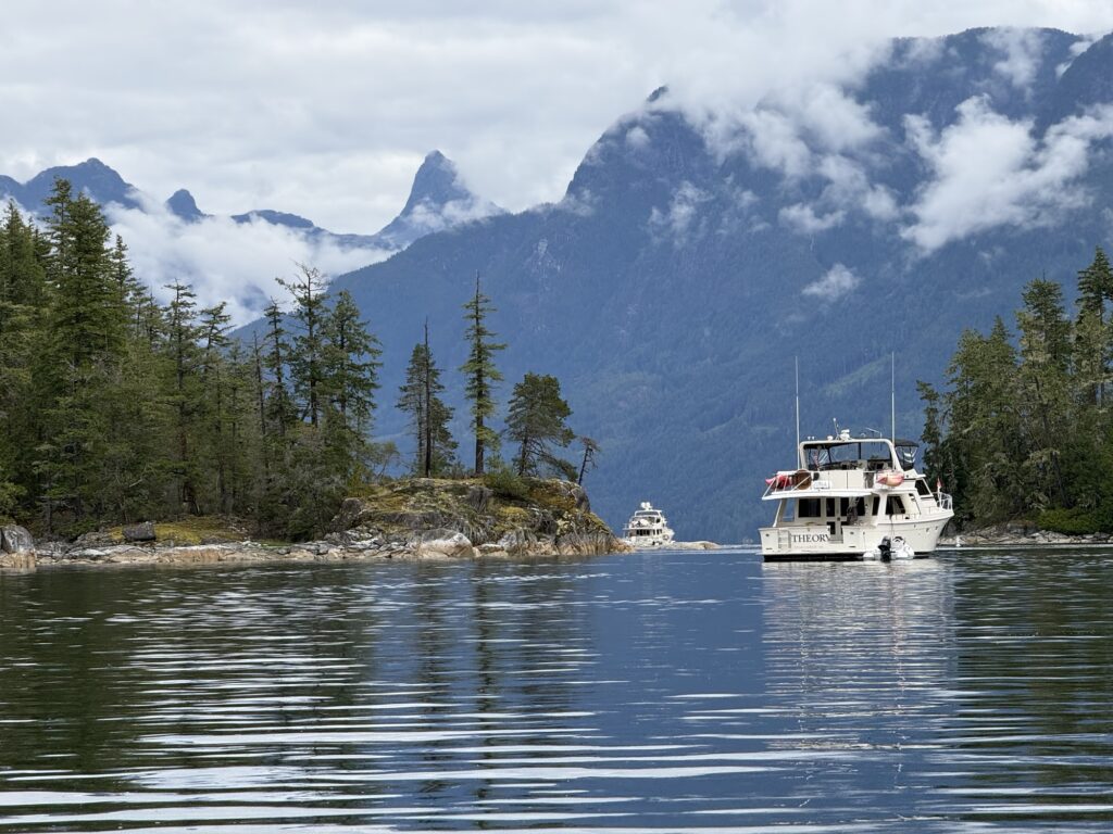
Desolation Sound is the coast’s great paradox — a place where steep granite fjords rise like northern cathedrals, yet the water warms to swimming temperatures by mid‑summer. For RIB skippers, it’s the ultimate playground: narrow passages, tide‑timed lagoons, warm basins, and long stretches of glassy water that reward early departures and precise navigation.
11.8 nm each way | ⏱ ~1h 22min one way
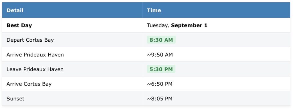
Desolation Sound – Central Basin | 50.150° N, 124.833° W |
Desolation Sound (Pendrell, Prideaux, Melanie Cove): No tide constraints for navigation, but shore landings are easiest mid-tide.
Theme: Granite fjords, mirror‑calm coves, classic Desolation Sound photography.
Why This Day
September 1 carries a good tidal range (low 3:21 AM at 4.9 ft, high 9:59 AM at 14.4 ft), giving you a rising/flood tide for the morning run east and high water during your first hours in the Sound. By afternoon the tide is ebbing, which makes for easy oyster spotting on the warm granite beaches.
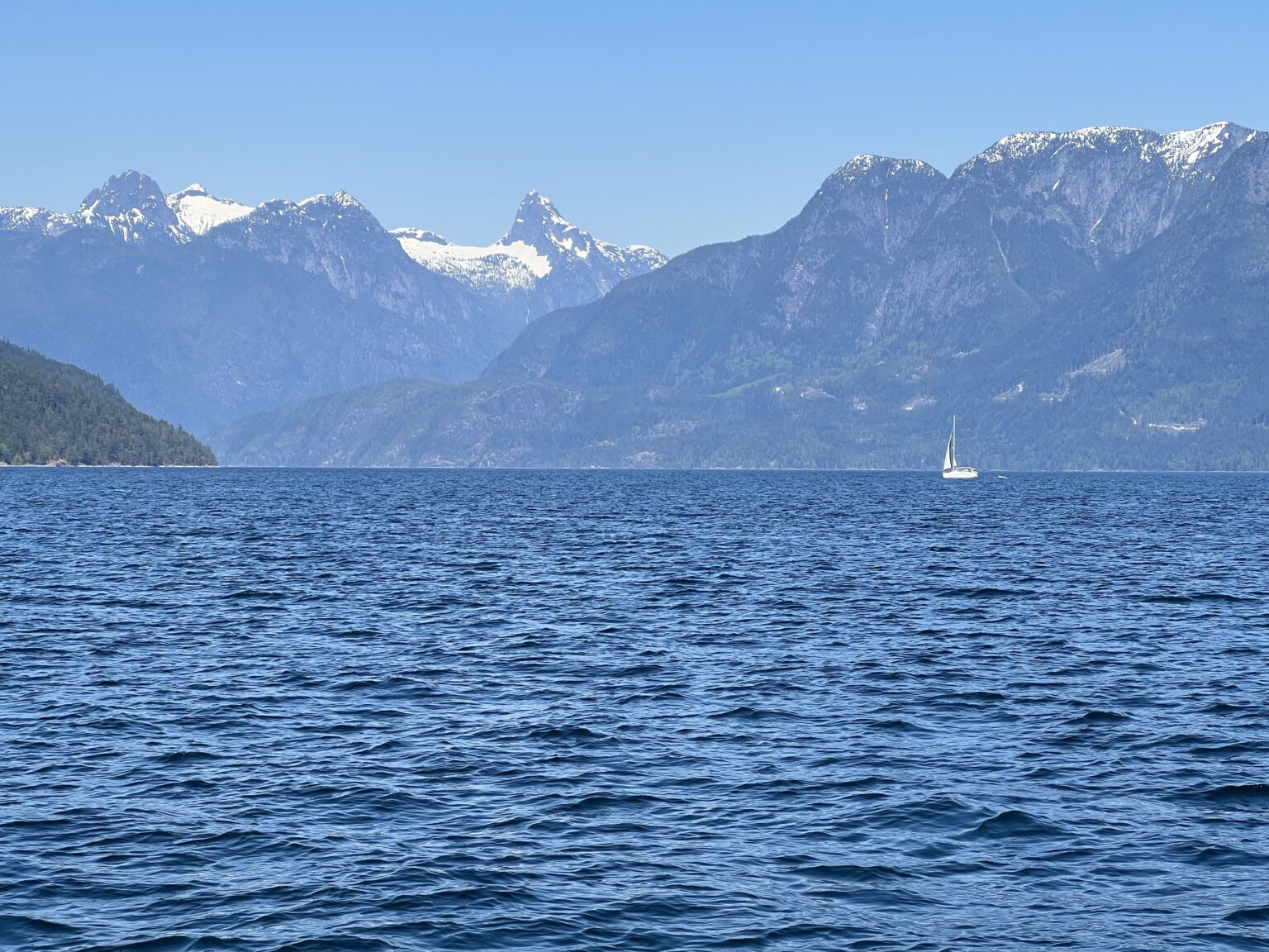
Photo Shots
- The classic “Chamber of Commerce” view: Mt. Denman (6,600 ft) framed over Prideaux Haven’s inner coves.
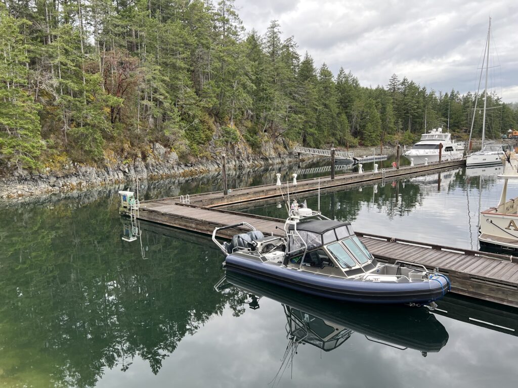
- Stern-tie scenes in Laura Cove or Melanie Cove against granite walls.
- Oysters on the beach at low-to-mid tide; the warm-water backdrop is unique this far north.
- Sunset light on the Copeland Islands if you linger near the entrance on the return.
Dog Shore Visits
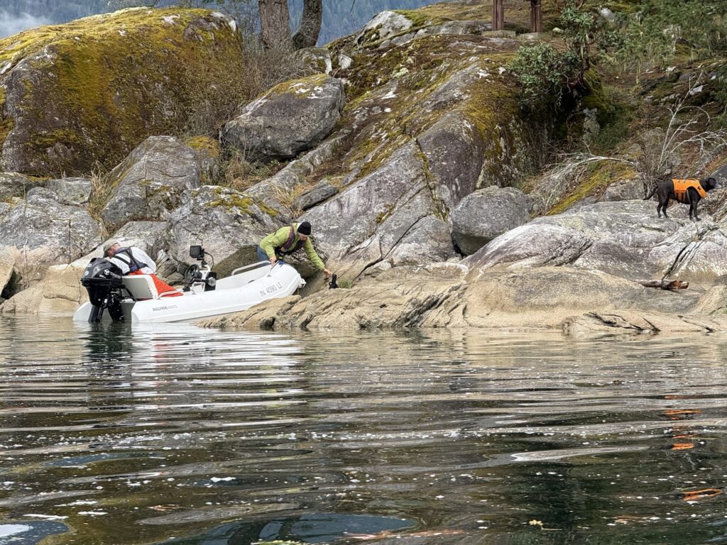
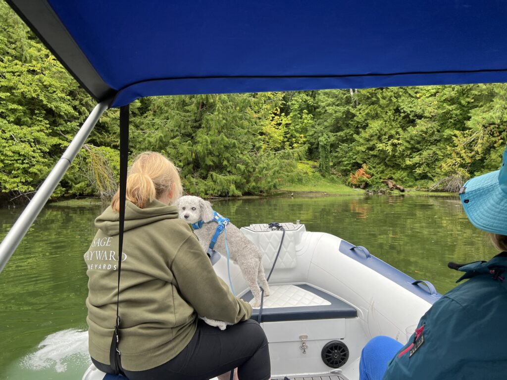
- Laura Cove and Melanie Cove have pebble beaches and shoreline trails where dogs can roam at mid tide.
- The beaches are mostly shell/pebble, so bring fresh water for your dogs; the area is protected from prevailing northwest winds.
Trip 2 Von Donop Inlet — Ha’thayim Marine Park
Von Donop Inlet is one of the most peaceful corners of the archipelago — a long, sheltered arm of water carved into the western side of Cortes Island. The inlet feels like a world apart: quiet, green, and still, with steep forested slopes rising on both sides and a narrow entrance that keeps the crowds away. For RIB skippers, it’s a dream run.
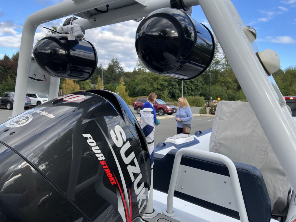
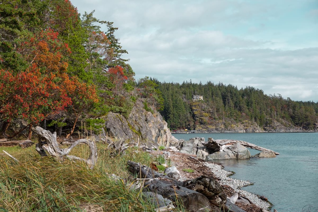
Located on the northwest tip of Cortes Island in British Columbia, Háthayim Marine Park (formerly Von Donop Marine Provincial Park) is a 1,277-hectare protected wilderness area. Jointly managed by BC Parks and the Klahoose First Nation, this remote marine park features deep fjords, old-growth rainforests, and a tranquil saltwater inlet popular with boaters and kayakers. [1, 2, 3, 4, 5]
18.7 nm each way | ⏱ ~2h 10min one way
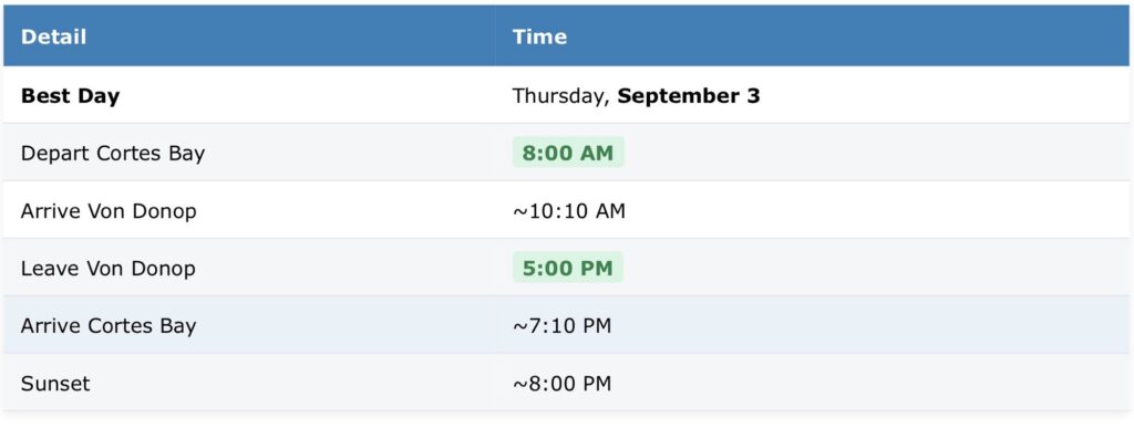
Von Donop Inlet – Entrance | 50.116° N, 125.000° W
Von Donop Inlet: Navigable at all tides, but mid-tide rising gives best beach access at the head of the inlet.
Theme: Narrow entrance, calm interior waters, old logging relics
Why This Day
By Sept 3 the high tide shifts to late morning/midday (roughly 11:30 AM–12:00 PM), which is ideal for Von Donop. The inlet has minimal beach at low tide and a narrow entrance with a dangerous rock at its tightest point; arriving near high slack gives you the most shoreline to explore and the calmest conditions at the narrows.
Photo Shots
- The inlet’s “V” reflection on calm morning water before the breeze picks up.
- Cliff and forest shots from the trail that connects Von Donop to Squirrel Cove.
- The inlet’s inner split where the cove branches; good light for dramatic shoreline textures.
- Seals and bald eagles along the Cortes Island shoreline north of the entrance.
Dog Shore Visits
- Inlet shore trails: There are rough but walkable trails along the inlet’s edge; keep dogs leashed because of wildlife.
- Beach note: The campsite beach is minimal at low tide, so plan your shore break for mid-to-high water.
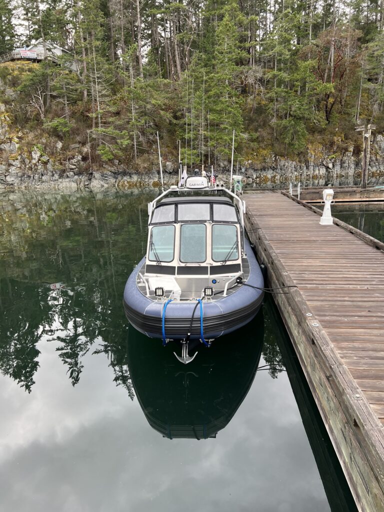
Trip 3 Carrington Bay & Lagoon
Carrington Lagoon is one of the most striking destinations in the archipelago — a warm, sheltered basin of turquoise water tucked behind a shallow sill and a narrow entrance that demands timing and confidence. For RIB skippers, it’s a reward unlike any other: a quiet, glowing lagoon that feels almost tropical in summer light.
Carrington Bay Park and the adjacent Children’s Forest on Cortes Island feature mature old-growth trees, rich wildlife habitats, and a unique tidal lagoon. Visitors enjoy scenic hiking trails, pristine wilderness, and distinct natural landmarks like the Grandmother Grove. [1, 2, 3]
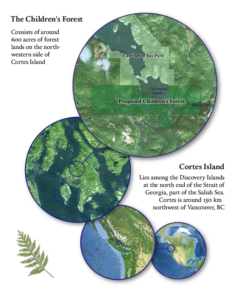
~14–16 nm each way | ⏱ ~1h 45min one way (estimated)
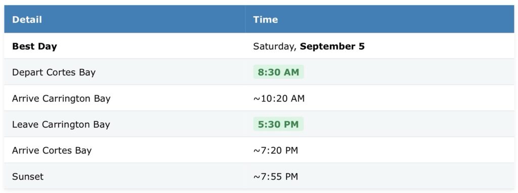
Carrington Lagoon – Channel Entry | 50.128° N, 124.987° W |
Carrington Lagoon: Best entered mid-tide rising → high tide → early falling. Avoid low tide; the sill becomes too shallow.
Theme: Lagoon reflections, warm shallows, perfect dog beaches.
Why This Day
September 5 offers a midday high tide (estimated near 1:00–1:30 PM), which is perfect for the lagoon. The lagoon entrance is a narrow channel with reversing rapids; at high tide the water floods in, and as it ebbs you can watch the “river” rush back out safely from the new footbridge. High water also lets you nose the RIB closer to the lagoon mouth for photos.
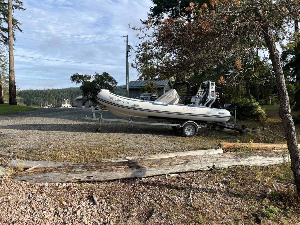
Photo Shots
- Reversing rapids at the lagoon channel during the tide change (shoot from the footbridge).
- Starfish in the channel: at high tide they cluster on the walls; at low tide they carpet the bottom in burgundy-black masses.
- Jane and Little Jane islets at the bay entrance; good foreground for morning light.
- Forest-trail shots in the mature second-growth on the way to the lagoon.
Dog Shore Visits
- Carrington Bay Regional Park has an old road-bed trail network suitable for dogs; the main trail to the lagoon is wide and shaded.
- The beach behind Jane Island is sheltered from prevailing summer winds and offers protection for a shore lunch.
- Safety note: The lagoon channel has fast-flowing tidal currents—keep dogs on leash near the water’s edge.
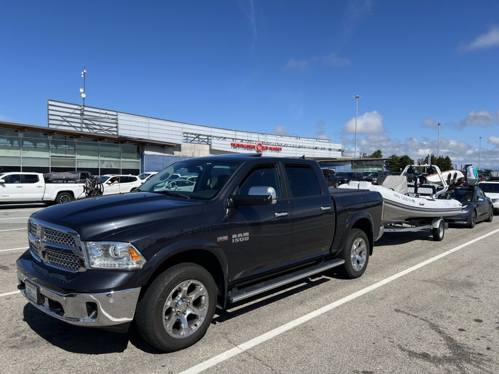
What’s the least expensive, least stressful way to trailer your RIB for these routes?
Option A – Trailer to Cortes Island (Most Expensive)
- BC Ferries: Vancouver → Powell River → Cortes
- Multiple ferry legs = higher cost
- Long waits in summer
Great once you’re there, but expensive
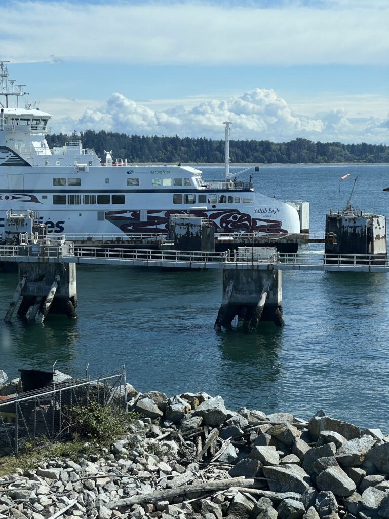
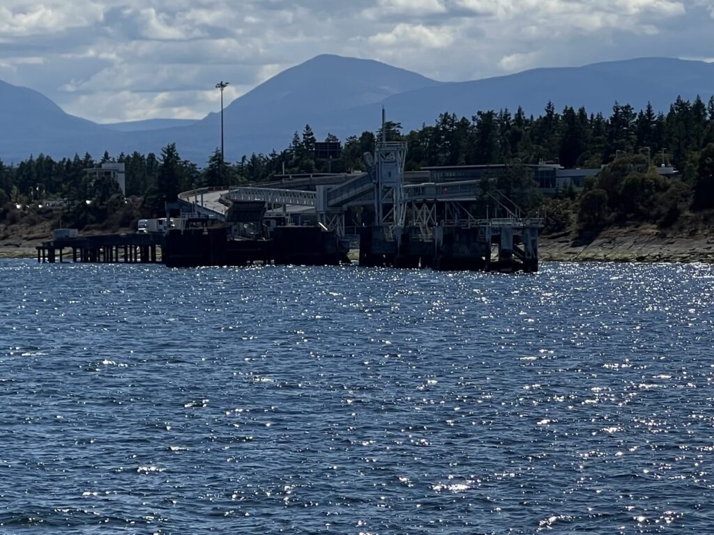
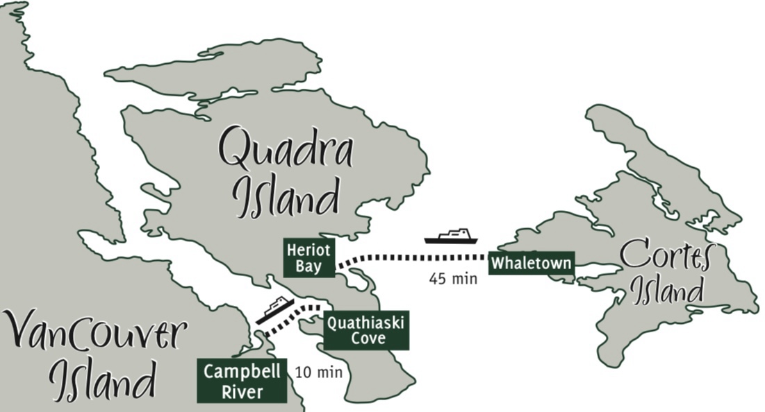
Option B — Trailer to Campbell River → Quadra → Cortes (Moderate cost)
- Two ferries
- Easier loading
Still not cheap
Option C – Trailer to Lund (Best low-cost option)
This is the winner.
Lund gives you the cheapest, simplest access to the entire region.
Why Lund works:
- No ferry required
- Direct launch ramp with good slope
- Immediate access to Desolation Sound
- Short run to Cortes Bay if you want to base there
- Fuel dock + parking
Least expensive overall
General Notes for All Trips
- Tide tables: Verify day-of tides on CHS station 08008 (Prideaux Haven) or local resources before casting off; times above are predictions and can shift with weather.
- Charts: Carry CHS Chart 3538 (Cortes Bay/Desolation Sound) and 3555 (Prideaux Haven detail).
- Fuel & safety: At 10 mph these are long runs for a RIB (especially Von Donop at 37+ nm round trip). Carry extra fuel, a VHF, and plan for the typical afternoon northwest wind by hugging the Cortes Island shore on the return.
- Dog essentials: Fresh water, leash, and booties for the pebble beaches in Desolation Sound and Von Donop.